St. Louis: Lewis and Clark Trail


Trail Facts
- Distance: 13.7
Waypoints
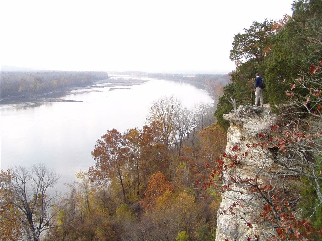
Missouri Overlook
Location: 38.6760292053223, -90.7153549194336
©Bill Yearout
High Bluffs
Location: 38.6787338256836, -90.7088394165039
©Bill Yearout
LAC002
Location: 38.6841812133789, -90.7182464599609
R @ Y on Lewis and Clark Trails
LAC003
Location: 38.6757392883301, -90.715446472168
Take photos of giant bend in the Missouri River from limestone bluffs; short, steep descent into gully, then climb again
LAC004
Location: 38.6777992248535, -90.711067199707
Overlook #2: Note ridge across river, a popular rookery for birds migrating the Missouri River Flyway
LAC005
Location: 38.6825103759766, -90.7079162597656
Continue E on Lewis Trail, leaving the Clark Trail
LAC006
Location: 38.6805686950684, -90.7043228149414
Continue straight; traverse along bluffline above river. Optional side hike: A 100-yd. spur trail leads to Katy Trail and Missouri River shoreline
LAC007
Location: 38.6910209655762, -90.6930313110352
Rocky outcrop near unnamed stream; head WNW
LAC008
Location: 38.6914405822754, -90.6994857788086
Ascend into gully then back on ridgeline
LAC009
Location: 38.6905403137207, -90.709602355957
R @ T; Clark Trail rejoins Lewis Trail
LAC010
Location: 38.694580078125, -90.7164306640625
Stroll above running creek on large 20-foot wood bridge
LAC011
Location: 38.6944694519043, -90.7225494384766
Pass through healthy tract of pines and cedars
LAC012
Location: 38.6932106018066, -90.7234573364258
Cross small creek
LAC013
Location: 38.6914100646973, -90.7235565185547
Cross stream again on small wooden bridge and head WSW to close loop @ trailhead