St. Louis: Frenchmans Bluff Loop

Trail Facts
- Distance: 7.9
Waypoints
FBL001
Location: 39.010311126709, -90.9406967163086
Head W from trailhead
FBL002
Location: 39.010139465332, -90.9419631958008
Turn L and follow blue-blazed trail along wooded streambed
FBL003
Location: 39.0093002319336, -90.9426727294922
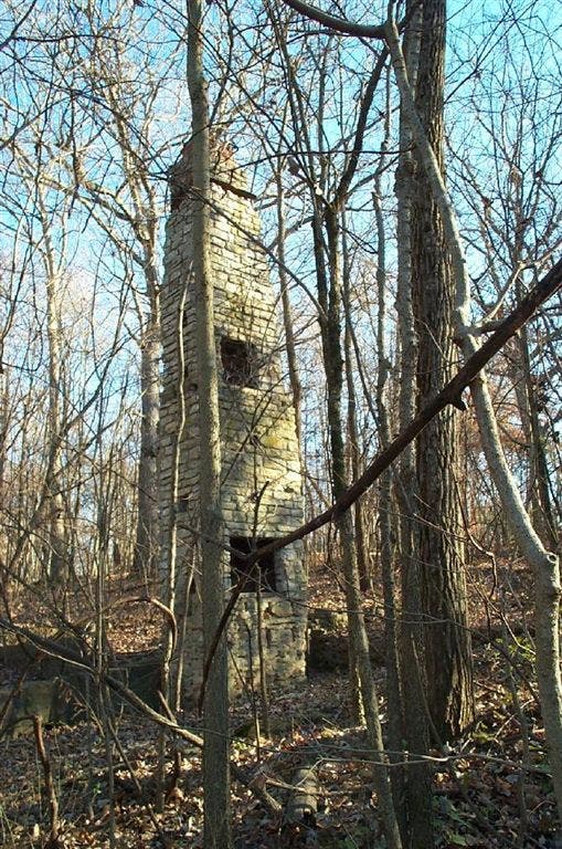
Pass weathered, two-story white-brick chimney, remnant from an old homestead
FBL004
Location: 39.0046081542969, -90.9440231323242
R @ T in equestrian parking lot; head toward river
FBL005
Location: 39.0053100585938, -90.945686340332
R @ T; begin climb above the narrow, mellow-flowing Cuivre River; follow trail to L as it switchbacks up bluffs
FBL006
Location: 39.0137481689453, -90.9437637329102
Overlook: Scan for miles where the Cuivre hooks 90 degrees into tawny, rolling farmland. Hike N, staying L @ next 2 intersections
FBL007
Location: 39.0238304138184, -90.9494705200195
R @ Y; pass small, swampy, arrowhead-shaped pond. Deer tracks abound here
FBL008
Location: 39.0223007202148, -90.9447708129883
Begin 100-ft. descent into hickory-dotted hollow
FBL009
Location: 39.019100189209, -90.9320373535156
Reach rocky flood plain of clear-flowing Sugar Creek and turn R to hike along hillside
FBL010
Location: 39.0146484375, -90.939453125
Turn L @ Y and close loop @ WPT 2; turn L to return to car
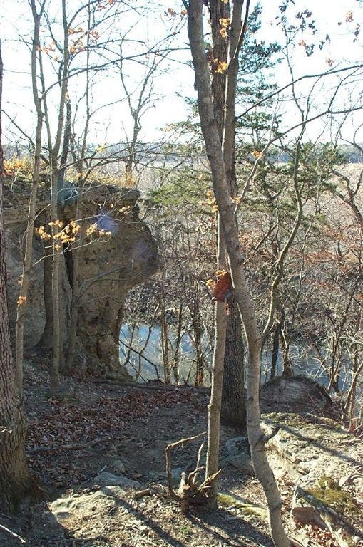
Cliffs over the Cuivre River
Location: 39.0065307617188, -90.9455184936524
©Gregory Zieman
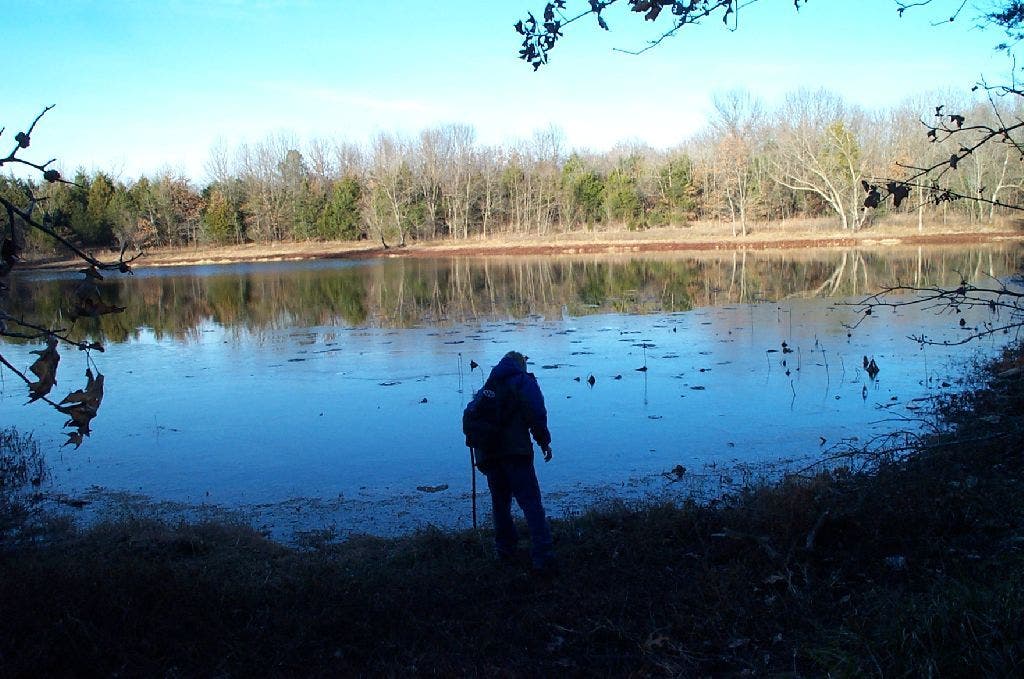
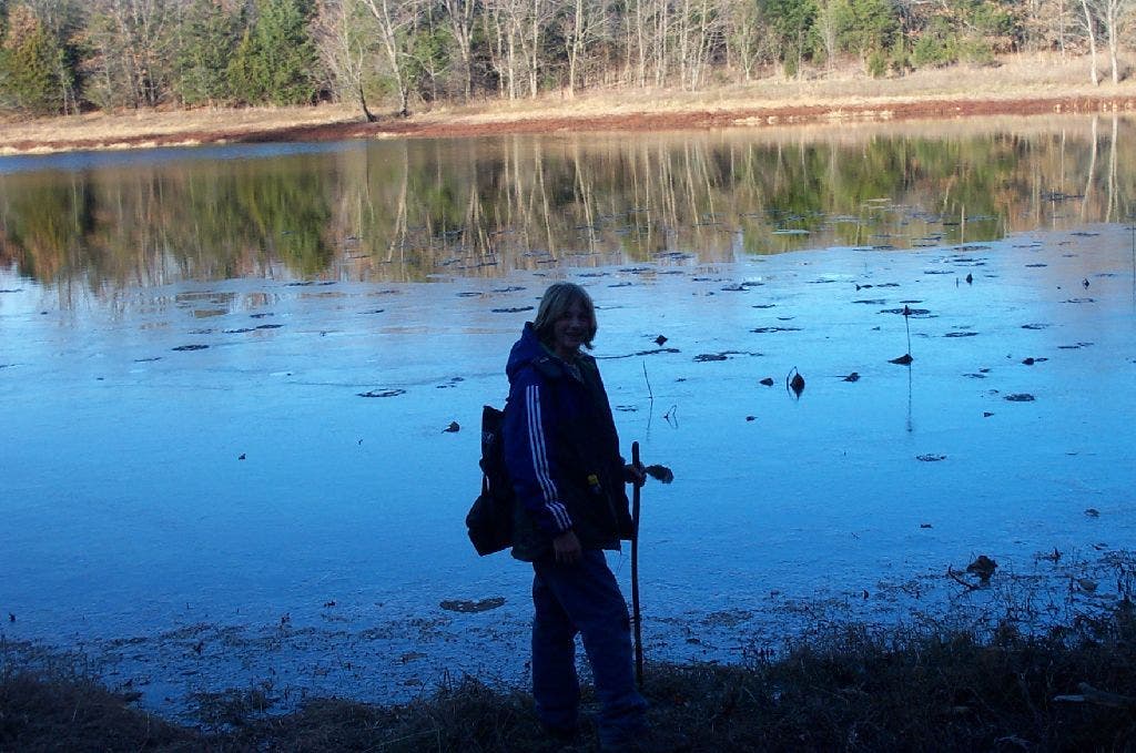
Lake
Location: 39.0239067077637, -90.949462890625
©Gregory Zieman
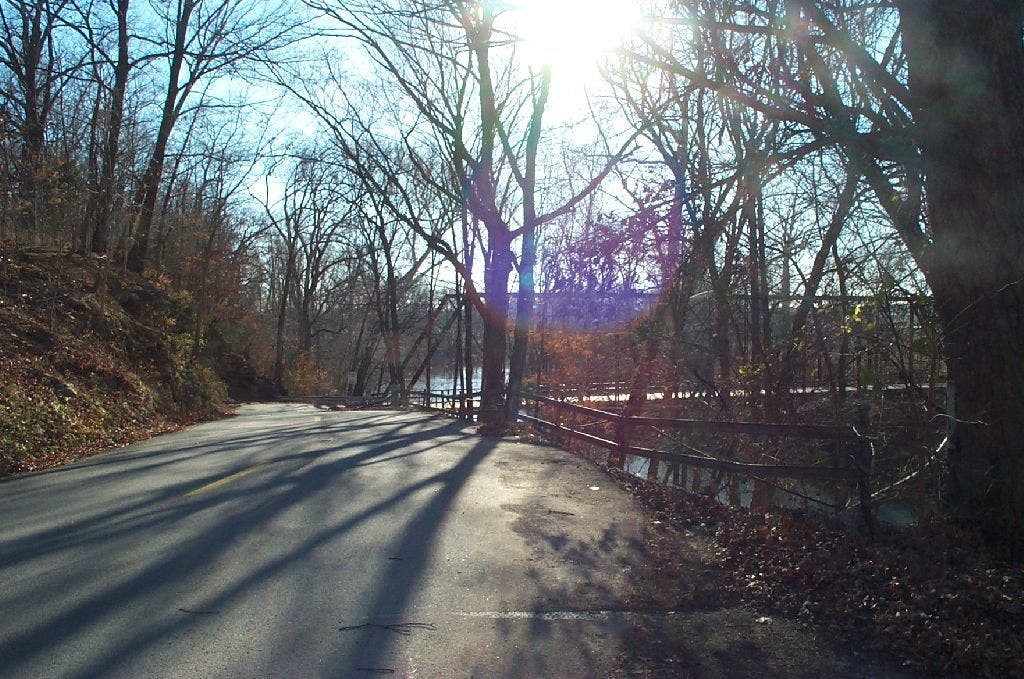
Old bridge
Location: 39.0048522949219, -90.9456558227539
Single-lane bridge to get into the park from the farmland side. ©Gregory Zieman
Old fireplace
Location: 39.0089950561523, -90.9425506591797
Two-story tower from burned-out cabin. ©Gregory Zieman
Small lake
Location: 39.0230979919434, -90.9464111328125
©Gregory Zieman