St. George, UT: Beck Hill-Scout Cave

This point-to-point route begins near the south side of the Paradise Canyon area of the Red Cliffs Desert Reserve. Step over the gate on the north side of the parking area onto the Chuckwalla Trail. You’ll head downhill toward Halfway Wash before turning north onto the Beck Hill Trail. The rocky trail climbs 500 feet over the next 2 miles, joining the Scout Cave Trail near the edge of the reserve. At the high point, stop for a breathtaking cliff-top overlook above the city of Santa Clara. If you haven’t pre-arranged a shuttle from Snow Canyon Parkway to the Chuckwalla Trailhead, consider turning back at the canyon’s edge, this eastern section of trail makes a 6-mile out-and-back.
Though the entire route is rugged, if you continue north expect a steep and narrow descent on the Scout Cave Trail. Allow for extra time near the top of the hill to navigate. Near trail end, follow the Scout Cave Trail around recent developments, or make up lost time with an easy road descent through them for the final mile to the parkway.
A newly constructed roadside bike path makes for an easy 3.5-mile bicycle shuttle between trail end on the Snow Canyon Parkway and the Chuckwalla Trailhead.
-Mapped by Gene Poncelet


Trail Facts
- Distance: 7.7
Waypoints
BHS001
Location: 37.1382877, -113.6044478
Start at the Chuckwalla Trailhead on Bluff Street. There are restrooms and plenty of parking here. Trail access points are to the north and west; this route begins at the north access point.
BHS002
Location: 37.1414009, -113.6109281
There are many braided trails in the area, especially near new housing developments. This route is easy to follow if you stick to wide, developed trails and head north before dipping too far into Halfway Wash. Up ahead, you’ll begin climbing below a rocky ridge.
BHS003
Location: 37.146297, -113.6112338
Continue north on the Beck Hill Trail at this signed junction. You’ll continue on the wash’s east side for 0.4 mile before crossing it and beginning to climb again.
BHS004
Location: 37.1555282, -113.613739
Varied elevations and terrain in the Red Cliffs Desert Reserve support a wide array of wildlife including the endangered desert tortoise. Keep an eye out for the slow moving reptiles alongside the trail.
BHS005
Location: 37.1565971, -113.6235076
A gentle downhill precedes this viewpoint on the edge of the canyon. Continue north from here on the Gila Trail.
BHS006
Location: 37.1581276, -113.6225045
A few hundred yards north of the viewpoint, turn left onto Scout Cave Trail. The trail climbs another 100 feet on this westbound approach to the canyon’s edge.
BHS007
Location: 37.160898, -113.6290705
The trail turns downhill at mile 3 and though it’s generally a rugged trail, it turns very steep and narrow heading north from here. If you’re without a shuttle, consider turning back here to make this route an out-and-back.
BHS008
Location: 37.163383, -113.629675
The trail narrows significantly at this rocky descent. You’ll continue across the wash up ahead before turning north and traversing below rocky cliffs.
BHS009
Location: 37.1676011, -113.6306262
Though this route’s right turn onto Scout Cave Trail skirts newly developed housing, the trail disappears at the bottom of the wash. To save time, hikers can continue toward the parkway by following the road through this new development.
BHS010
Location: 37.1676011, -113.6361623
Turn left into the wash and continue downhill toward the Snow Canyon Parkway and your shuttle car.
BHS011
Location: 37.1610006, -113.6397457
At Snow Canyon Parkway, pick up your car or bicycle. The paved bike path follows the road almost all the way back to the trailhead.
Beck Hill
Location: 37.1571187, -113.6175692
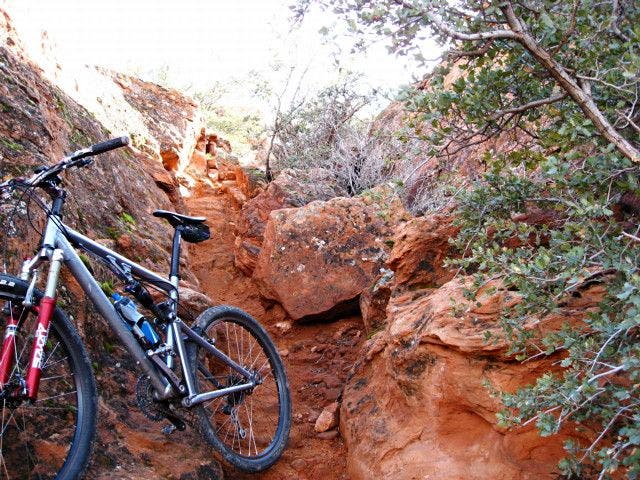
A rugged section of the climb up Beck Hill.
Views
Location: 37.1606244, -113.6287916
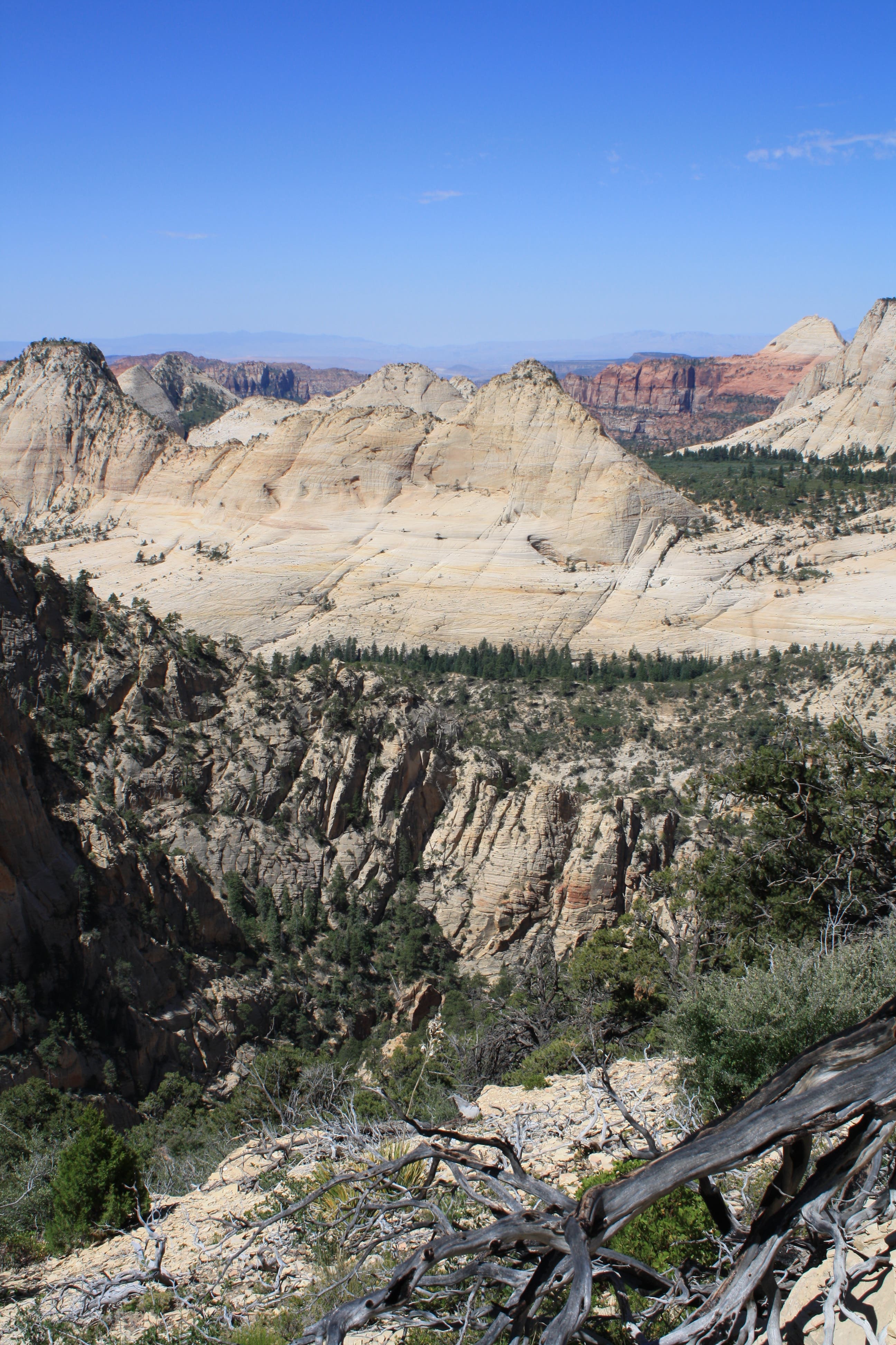
Spectacular red rock views await at this hike’s high point on the Scout Cave Trail.
High Point
Location: 37.1609664, -113.6291671
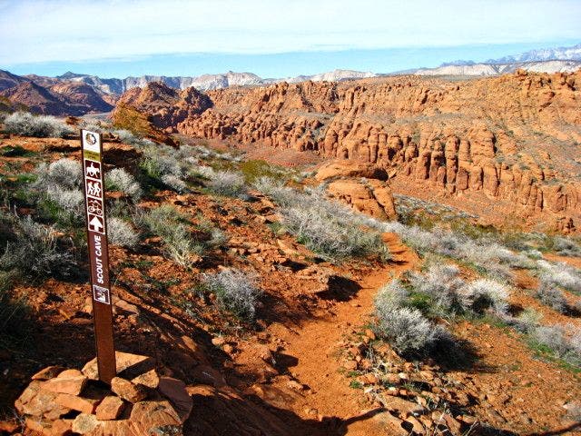
The northbound downhill is marked by carsonite signs.
No Bikes
Location: 37.1634117, -113.6296606
Though many of the trails in this area are multi-use, Scout Cave is not one of them. The owner of this bike spent much of this rugged, rocky descent carrying his ride.
Scout Cave Trail
Location: 37.1676267, -113.6306155
A marker just above the housing developments points the way to Scout Cave Trail.