Springfield, IL: Sangchris Lake State Park

After a quick 50-foot descent from the western edge of the Deer Run Campground, this 2-mile route combines two loops in the bottomland around Clear Creek, dammed in 1964 to create the park’s 120-acre namesake lake (a mash-up of the surrounding county names, Sangamon and Christian).
At the bottom of the wooded bluff, turn right to head north to the banks of the South Fork Sangamon River and turn left toward its convergence with Clear Creek. Lush riparian greenery lines the muddy trail as it skirts the banks of the creek. Continue south, closing this route’s northern loop at mile 1 Watch for horses crossing the creek at a dip-worthy portage just 0.4 mile south of the junction.
You’ll pass towering cottonwoods within earshot of the Sangchris Lake spillway on this route’s southernmost stretch—watch for great blue heron along the creek and the park’s resident albino deer. At the edge of the campground bluff, the trail turns north. Follow it back to the bluff-trail junction and retrace your steps uphill to the trailhead.
This spillway and bottomland habitat flood regularly; call the park’s office at (217) 498-9208 to check trail conditions before your visit.
-Mapped by Ted Villaire


Trail Facts
- Distance: 3.4
Waypoints
SCL001
Location: 39.6548309, -89.4747467
From Deer Run Campground’s tent-camping parking area, follow the trail downhill to the northwest. Turn left at the 3-way junction at the bottom of the hill. Though the path may be overgrown, it is easy to follow along its entire length.
SCL002
Location: 39.6559525, -89.4756622
Turn right at this 3-way junction to begin this figure-eight route’s northern 0.8-mile loop.
SCL003
Location: 39.6568794, -89.4757614
Stay right at this 3-way junction, following the trail north.
SCL004
Location: 39.6577454, -89.4765854
A wooded bluff rises on the right as you make your way through the flat, lush bottomland. If you encounter equestrians, stand to the side of the trail to allow them a respectful right-of-way.
SCL005
Location: 39.6602936, -89.4759903
Turn left at this 3-way junction, following the South Fork Sangamon River to its convergence with Clear Creek where you’ll turn left to hike along Clear Creek’s ironically muddy banks-the creek floods regularly so expect to encounter debris and mud on the trail.
SCL006
Location: 39.6568069, -89.4758453
Stay to the right at this 3-way junction, closing the northernmost loop. Continue straight as the trail bypasses the bluff-side route back to the parking area.
SCL007
Location: 39.6555367, -89.4764023
Turn right here to begin this route’s southern loop. Resume hiking amid maple, elm, and honey locust and alongside Clear Creek. Look for the 5-foot diameter trunks of monstrous cottonwood and watch for great blue herons around every creek bend.
SCL008
Location: 39.6518402, -89.4771271
Follow the trail straight through this 3-way junction where horses portage the creek. If it’s a hot day, this spot is perfect for a refreshing dip in the river. Just ahead, listen for the spillway from Sangchris Lake.
SCL009
Location: 39.6515121, -89.4754333
Turn left at this 3-way junction where the trail hits the hillside below the Deer Run Campground. If the mud on the trail is soft, look for raccoon, deer, opossum, coyote, and fox tracks in its surface.
SCL010
Location: 39.6521835, -89.4757309
Continue north by bearing left at this 3-way junction. The southern loop closes 0.3-miles ahead.
SCL011
Location: 39.6559296, -89.4757233
Turn right at this now-familiar 3-way junction to return to the parking area and campground at the top of the bluff.
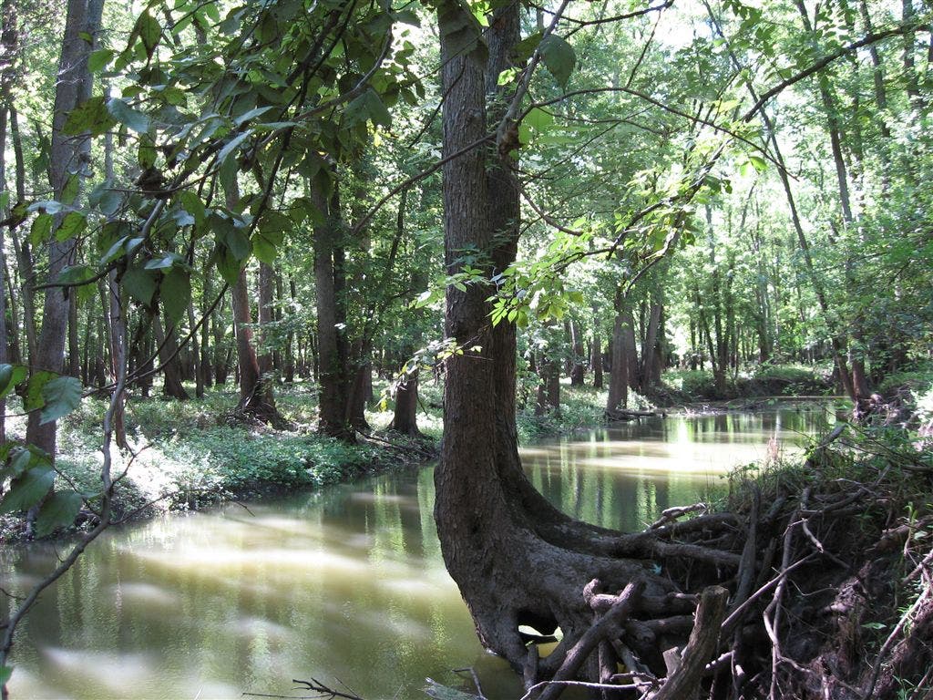
Clear Creek
Location: 39.6533928, -89.4782104
Woods
Location: 39.6571846, -89.4770508
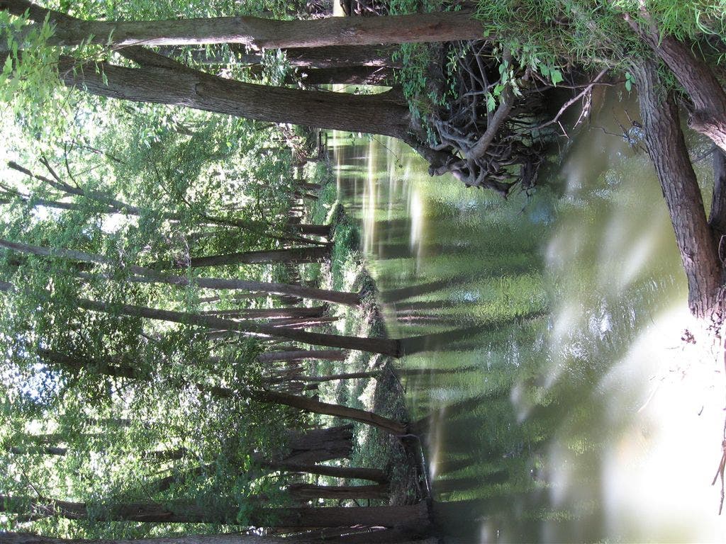
The wooded banks of Clear Creek shade its muddy waters. © Ted Villaire
Floodplain
Location: 39.6602325, -89.4767838
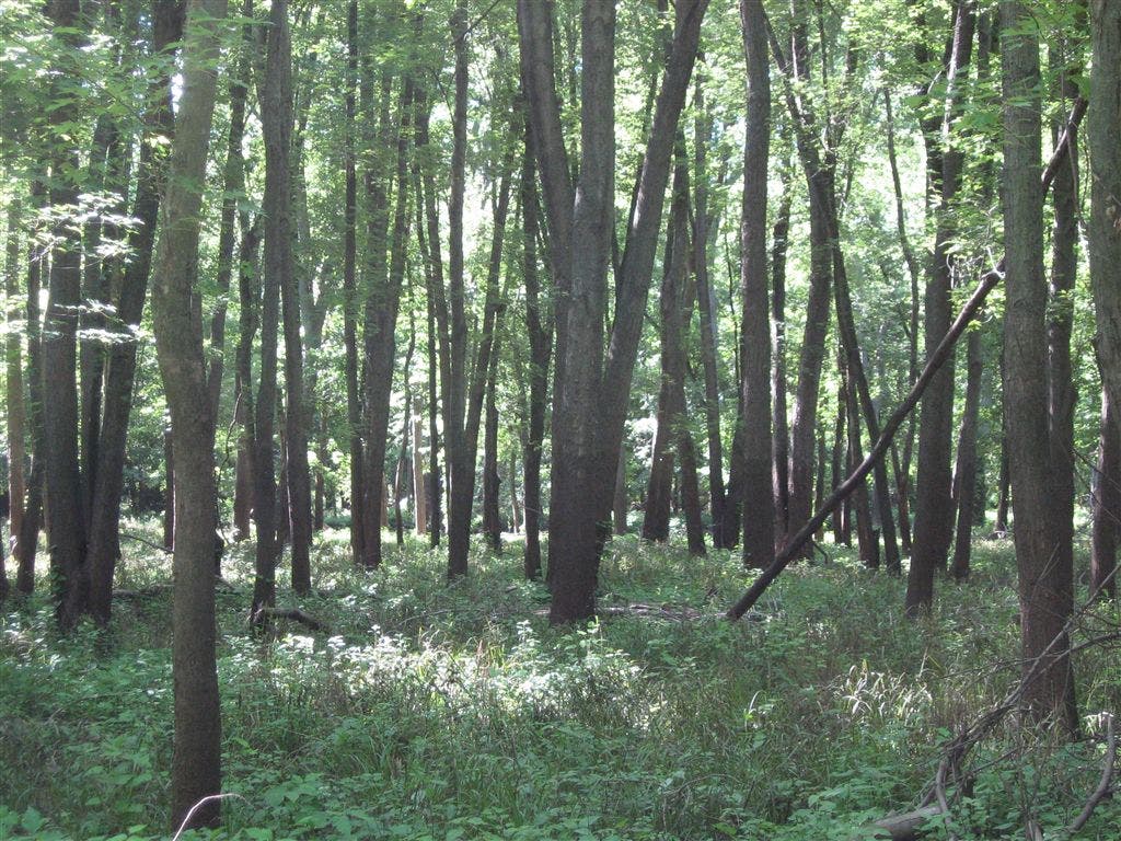
The northern loop of this trail traverses bottomland woods in the muddy Clear Creek floodplain. © Ted Villaire