Springfield, IL: Robert Allerton Park

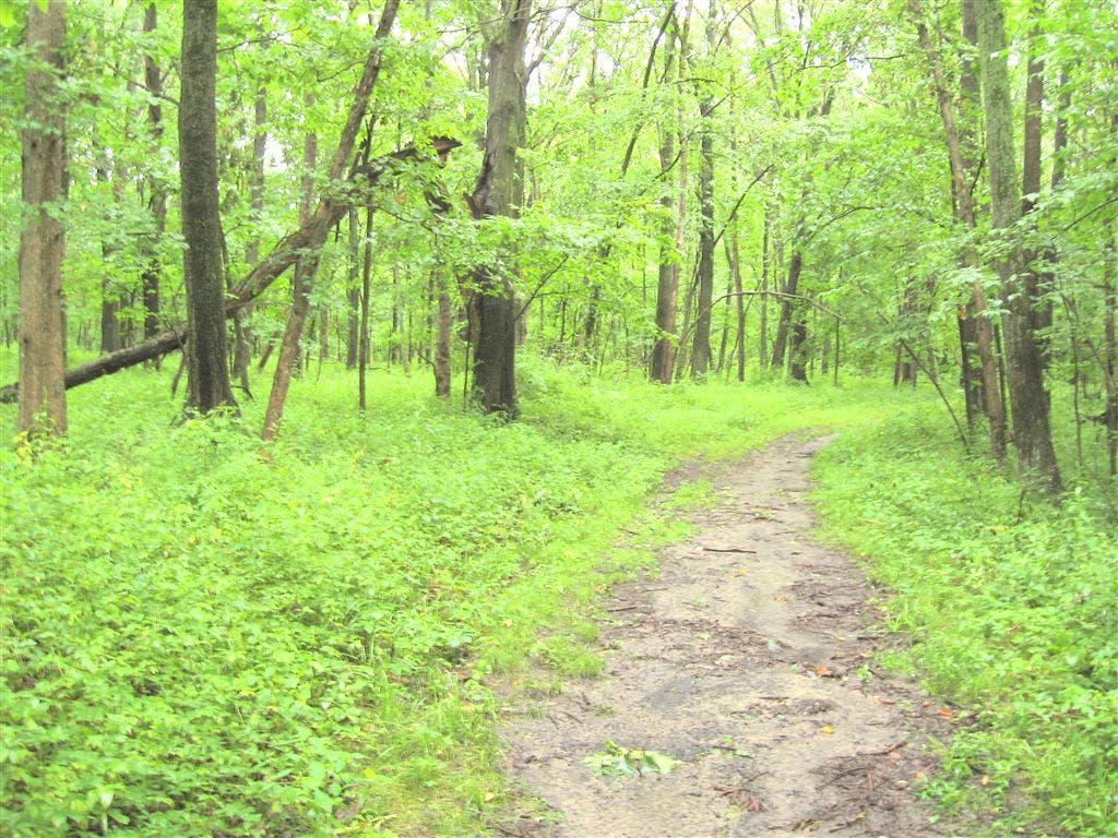
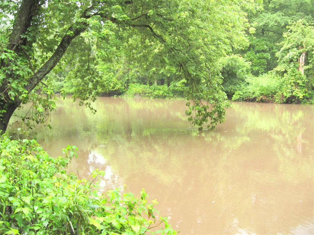
This 4.1-mile loop on the south side of Allerton Park and Retreat Center tours two of the park’s interpretive trails. Beginning at the Buck Schroth Interpretive trailhead, this counter-clockwise loop cruises dense upland woods laden with silver maple and shagbark hickory and skirts a bluff above the Sangamon River—allow a few extra minutes for tracing side trails to the shoreline.
In spring, wildflowers such as jack-in-the-pulpit and Virginia bluebells line the trail as it swings away from the river and joins the Blue Trail at mile 1.25. The loop’s western edge rolls through lush hickory- and maple-blanketed forest and crosses several intermittent streams before turning east back to the Red Trail. Near loop-end, you’ll skirt one of Illinois’ oldest restored prairies before backtracking a few hundred yards to the trailhead.
-Mapped by Ted Villaire


Trail Facts
- Distance: 6.6
Waypoints
RAP001
Location: 39.9997954, -88.6342889
This loop starts on the red trail at the Buck Schroth Interpretive Trail parking area.
RAP002
Location: 39.9985831, -88.6361128
Turn right at the 3-way junction toward a bluff 60 feet above the Sangamon River. You’ll enjoy fine views of the river and its thickly forested floodplain.
RAP003
Location: 39.9978845, -88.639605
Turn right at this second 3-way junction and follow the trail along the west side of the ravine, back toward the river.
RAP004
Location: 39.9972105, -88.646493
Turn right onto Blue Trail at this 3-way junction. Optional: To shorten this route by about 1 mile, continue south on the Red Trail.
RAP005
Location: 39.992657, -88.6530375
This bluff about 80 feet above the river is a perfect spot to rest. Look for turtles perched on logs near the river below.
RAP006
Location: 39.9897965, -88.6537027
Stay straight at the 3-way junction bypassing the Green Trail. The bluffs fade behind you and the landscape flattens up ahead.
RAP007
Location: 39.9856864, -88.6501837
You’ll pass the remnants of a secret garden on your right just before this 3-way junction. Stay left to follow the Blue Trail and begin the eastbound stretch to close this loop.
RAP008
Location: 39.9898294, -88.6486816
Turn right onto the Red Trail at this 3-way junction.
RAP009
Location: 39.9959612, -88.636086
The trail skirts one of Illinois’ first restored prairies. Since 1955, native plants have slowly returned to the this former grazing pasture. Stay straight on the main trail at the 4-way junction up ahead, or turn right for a short detour to the Music Barn. Return to Waypoint 2 and turn right to backtrack to the parking area.
Lush Woods
Location: 39.9991995, -88.6400557
This heavily-forested route stays mostly shaded by dense stands of trees.
Sangamon River
Location: 39.9984856, -88.644249
The second time the trail reaches the Sangamon River, it’s at the water level. Allow a few extra minutes to explore the shoreline on small side trails.