Southern Highlands Radio Tower

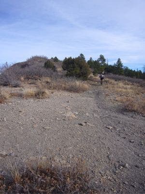
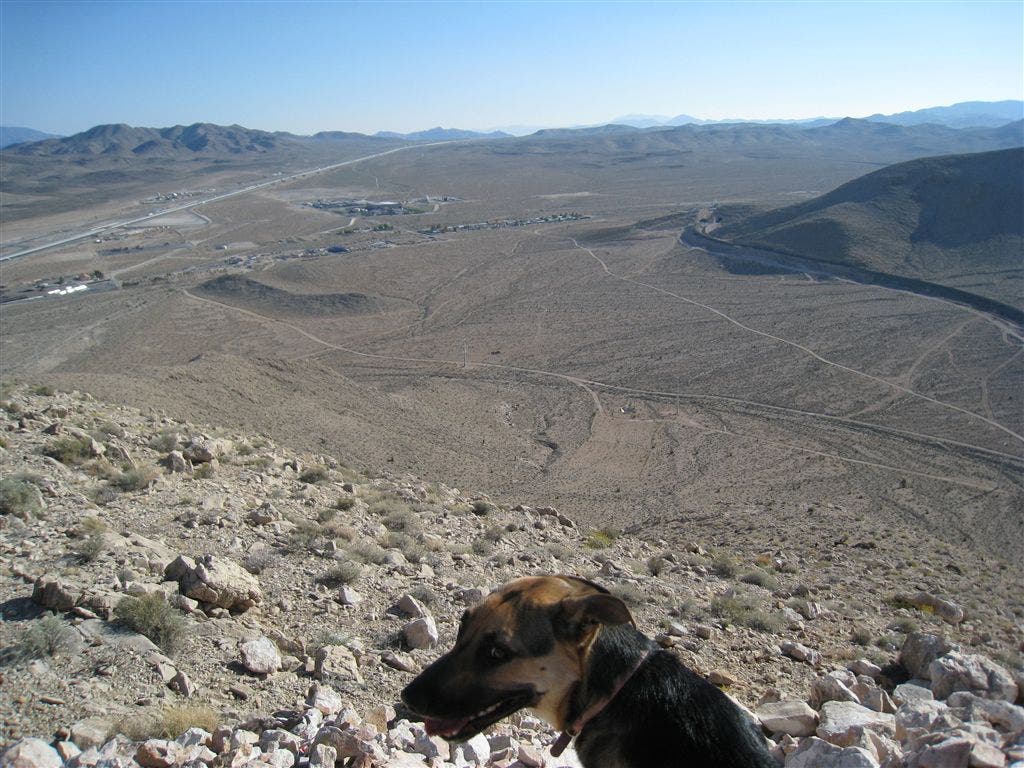
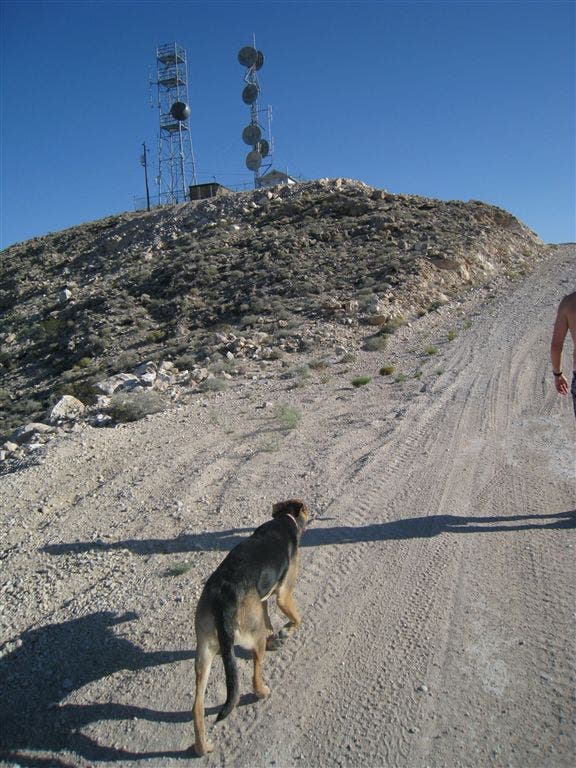
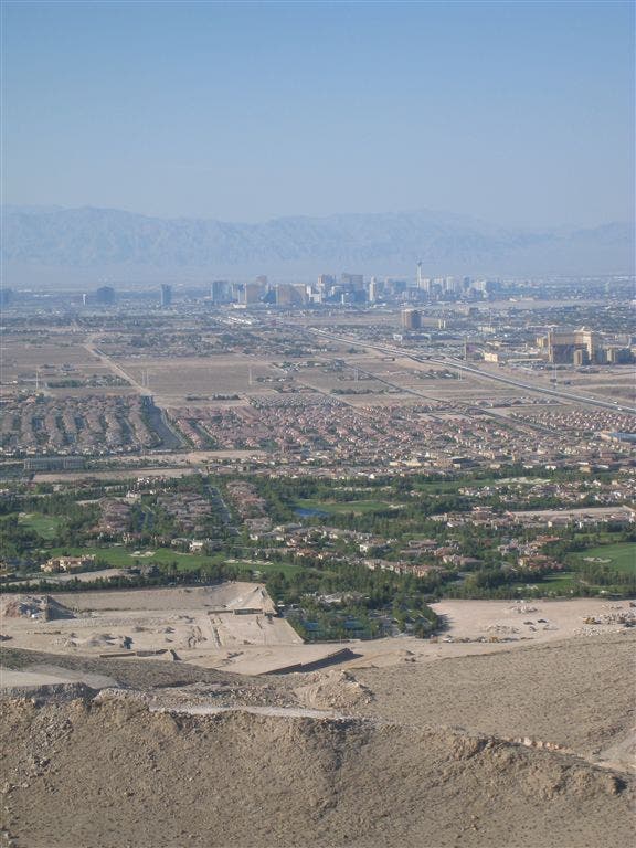
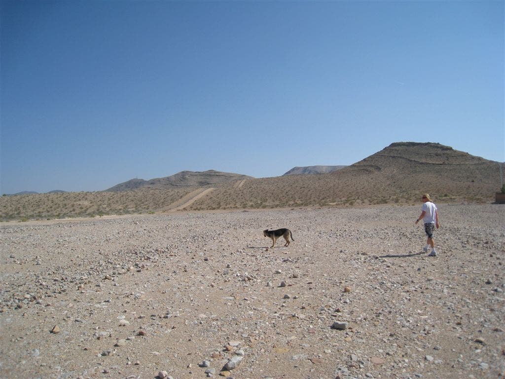
Head in towards the desert from suburbia, eventually hiking to 3300ft for views of the Las Vegas strip and surrounding area. This is a great trail running area. No need to follow any set path, just head towards the radio tower.
Trail Facts
- Distance: 12.0
Waypoints
STH001
Location: 35.987793, -115.2079849
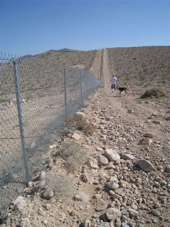
Trailhead starts on Chartan Ave off Southern Highlands Parkway. Walk along the right side of the fence and head up.
Also: The End
STH002
Location: 35.9846497, -115.2085953
After following the fenceline and vear off to the right up the hill. Don’t go all the way to the top, stay just below the highest point and drop back down till you meet up with a road.
When you come back, this is the point where you’ll meet back up with the trail you originally started out on.
STH003
Location: 35.980545, -115.2080078
From this point you’ll head down the hill towards the road you can see below you. Don’t worry – the radio tower is in plain view. you can take any route you choose.
STH004
Location: 35.973587, -115.2132187
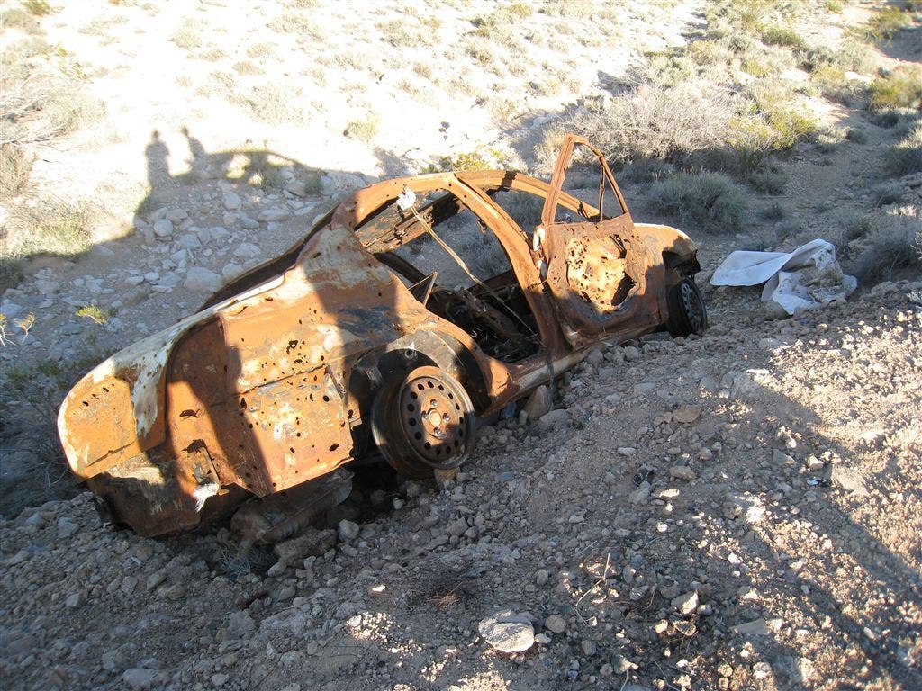
Follow the road. Go and explore the hot tub and deserted cars you find. How did a hot tub get out here anyway?
On the way back down you can follow the road back. You won’t go back over the hill – you’ll stay flat and come around the other side of the hill.
STH005
Location: 35.9705009, -115.211647
STH006
Location: 35.964489, -115.2077866
STH007
Location: 35.9575958, -115.2025833
This is where you are going to vear left towards the start of a short, but steep climb to the top.
STH008
Location: 35.9542618, -115.1947403
This is a nice place to stop and look around as the view is nice from here. Not too far to go now.
STH009
Location: 35.9513512, -115.1920242
Summit at 3300ft with 365 degree views of Vegas. There’s some flowers up here too. The radio tower emits harmful waves though so don’t stay close for too long.
STH010
Location: 35.9788895, -115.2147675
As the rest of the hike has been a loop and now you’re going a different way – you want to head right at the road here. If you feel like exploring further, you can vear left and follow the road around. It will take you to more desert, but come back this way to get back to the trailhead.
STH011
Location: 35.9833145, -115.2133408
You’ll take a hard right here off the main road down to another road that will parallel the residential road and take you to the trailhead.
Summit
Location: 35.9514275, -115.192009
Views South on I-15
Location: 35.9514885, -115.192131
Final Push
Location: 35.9532051, -115.193428
Vegas Strip Views
Location: 35.9565773, -115.1976013
Trail
Location: 35.9577332, -115.2024841
Open Desert
Location: 35.9875603, -115.208168
Fenceline
Location: 35.9860535, -115.2084351
View
Location: 35.9846306, -115.208786
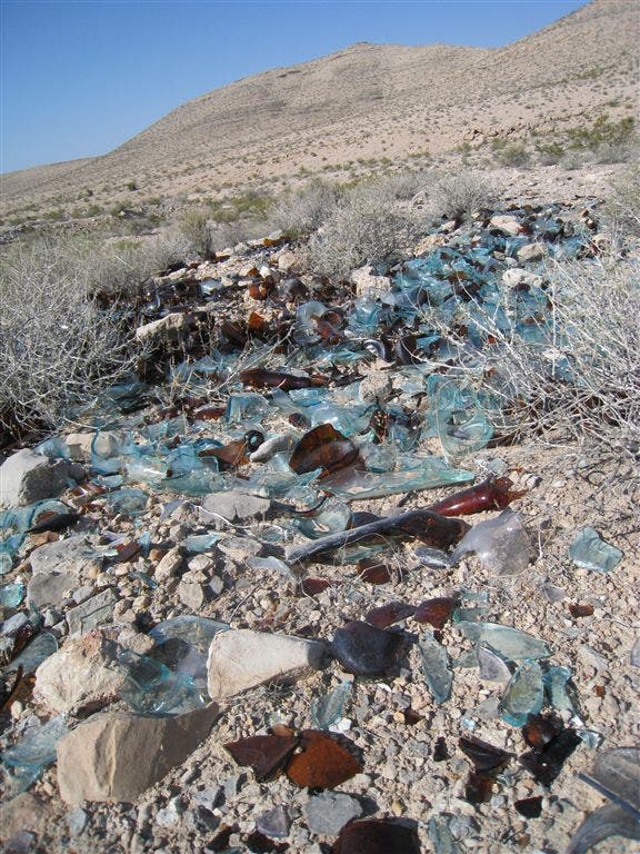
Broken Glass
Location: 35.9643898, -115.2077255
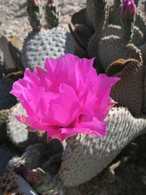
Cactus Flower
Location: 35.9704285, -115.2117157
Abandoned Car
Location: 35.968029, -115.2099457
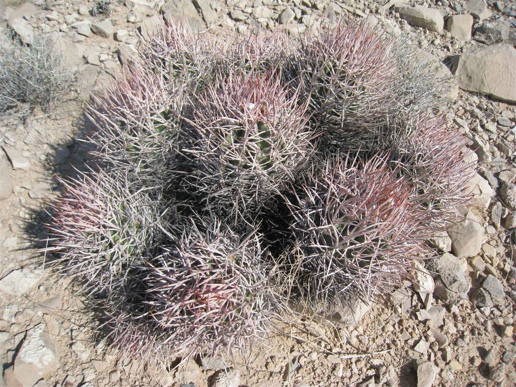
Cactus
Location: 35.9804573, -115.207901