South Lake Tahoe, CA: Vikingsholm

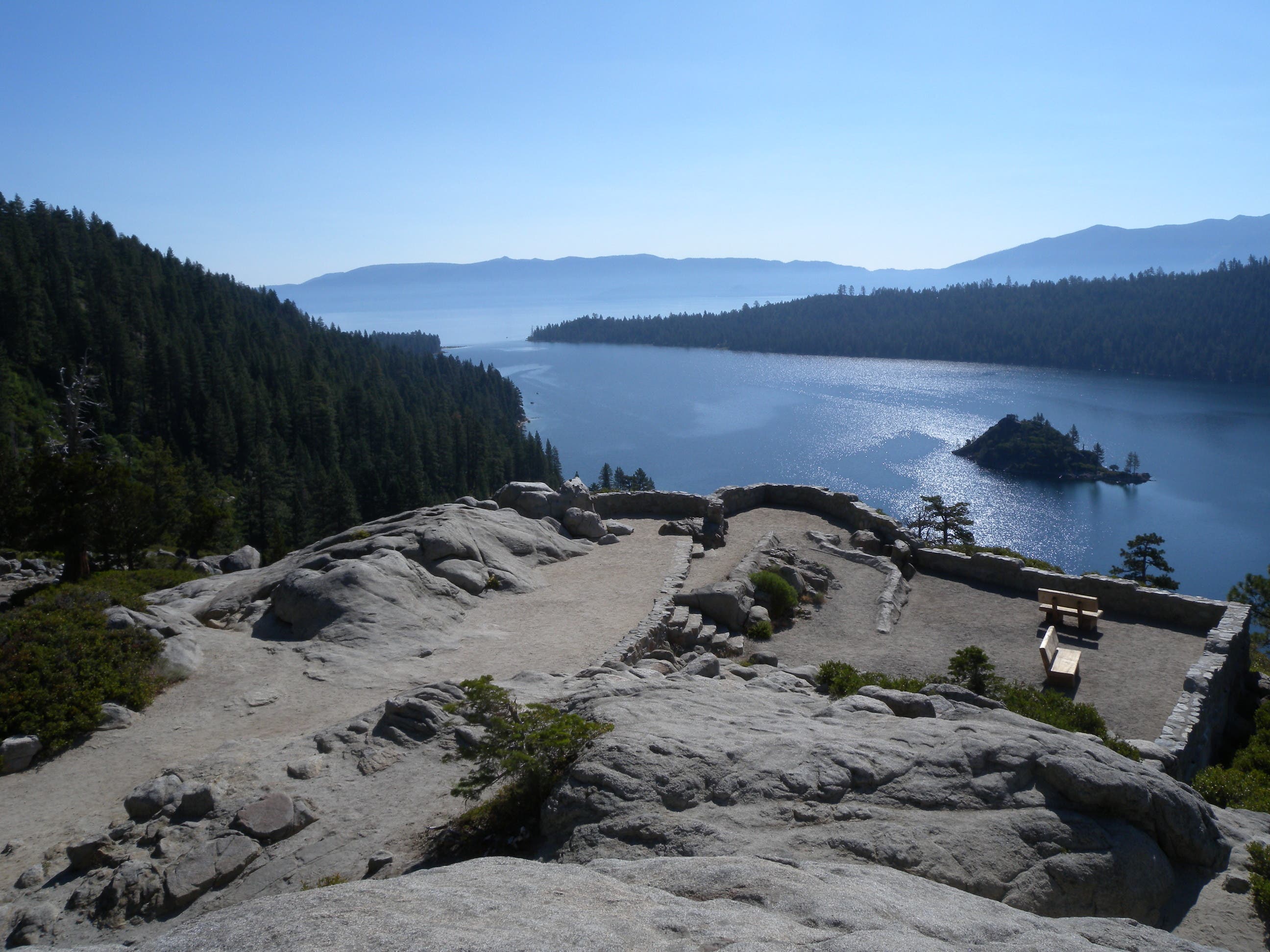
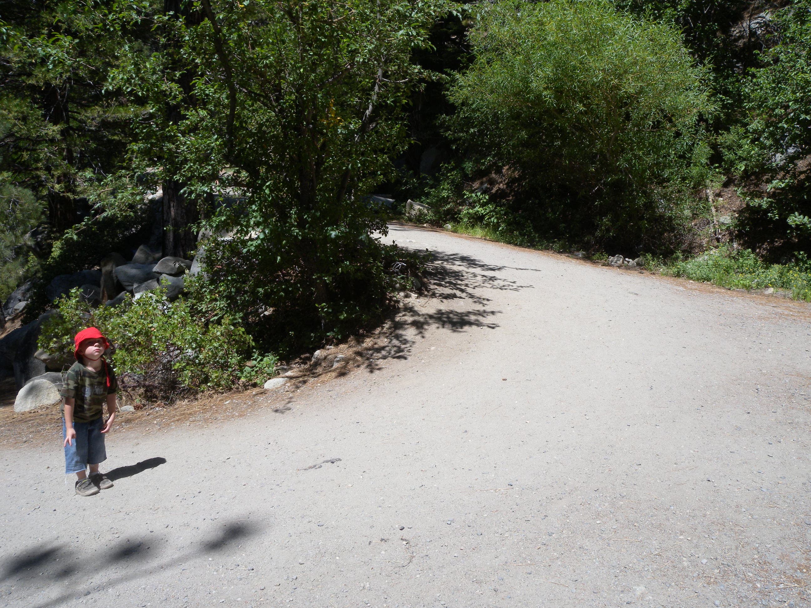
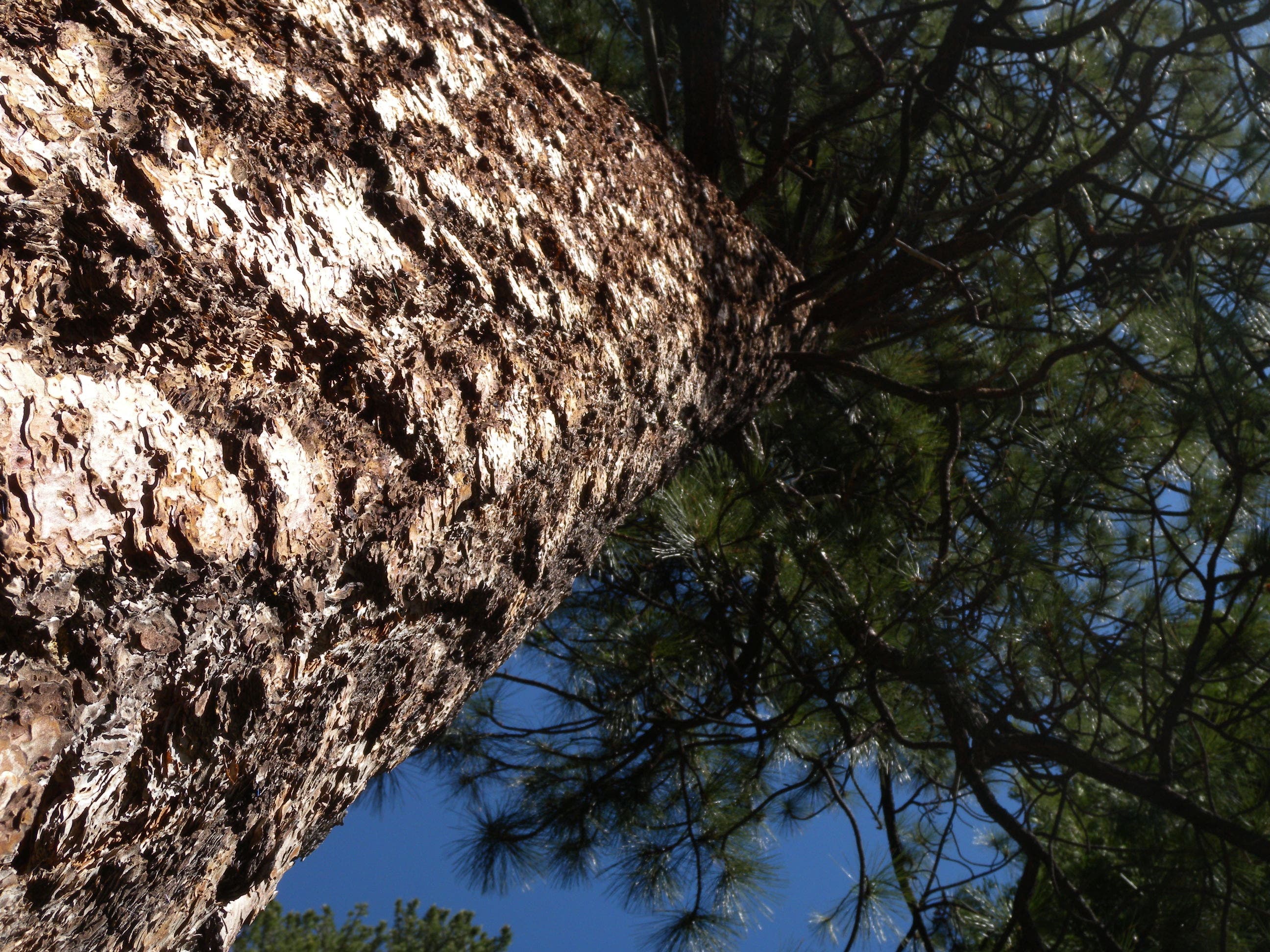
Emerald Bay is one of the most spectacular inlets on Lake Tahoe and this 2-miler dips from the roadway to it’s gem—a Scandinavian inspired castle called Vikingsholm. At the Vikingsholm Trailhead just off CA-50, spend a few minutes admiring the lake view from granite outcropping before following the trail downhill from the northeast corner of the parking lot. The wide gravel path, once the driveway for the sod-roofed castle, is open at the top but skirts a couple of huge ponderosa and is increasingly shaded on its 400-foot descent. Just before the castle, turn left to access the beach (bring a picnic and a swimsuit) and get a full-frontal view of the 1929-built stone structure.
After the beach, this route loops south toward the visitor center and makes a 15-minute, 0.5-mile out-and-back detour to the rocky base of Lower Eagle Falls. Follow the road behind the castle, heading north to retrace the uphill back toward the parking area.
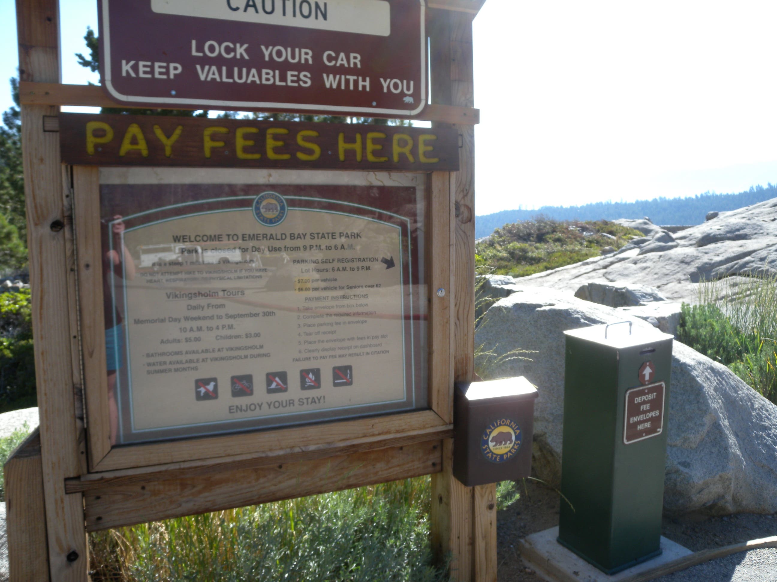
This is a family-friendly hike, but save some energy for the uphill slog and, though there is drinking water in the park, consider bringing a bottle if you’ll be heading uphill in the afternoon sun. There is also a $7 fee for the parking area.
-Mapped by Kristy Holland
Trail Facts
- Distance: 3.9
Waypoints
VIK001
Location: 38.9545409, -120.1103683
There is a fee to park in this large trailhead lot (plan to get there early to find a spot). There is alternative parking a few hundred yards south along CA-89, but the trail begins on the northeast corner of this lot.
VIK002
Location: 38.9569226, -120.1066643
There are a couple of user-created trails shortcutting this long switchback. Stick to the wide main trail to prevent erosion and damage alongside this popular route.
VIK003
Location: 38.9549788, -120.107043
About 0.6 miles from the trailhead, the path narrows briefly near a T-junction with the park road. Turn right and follow the road on the mellow descent toward the castle and beach.
VIK004
Location: 38.9528011, -120.1075816
This route follows the access trail left toward the beach. There is a primitive restroom is just a few hundred feet to the left which offers a place to change clothes, but no sinks or water for post-beach clean-up.
VIK005
Location: 38.9526426, -120.106616
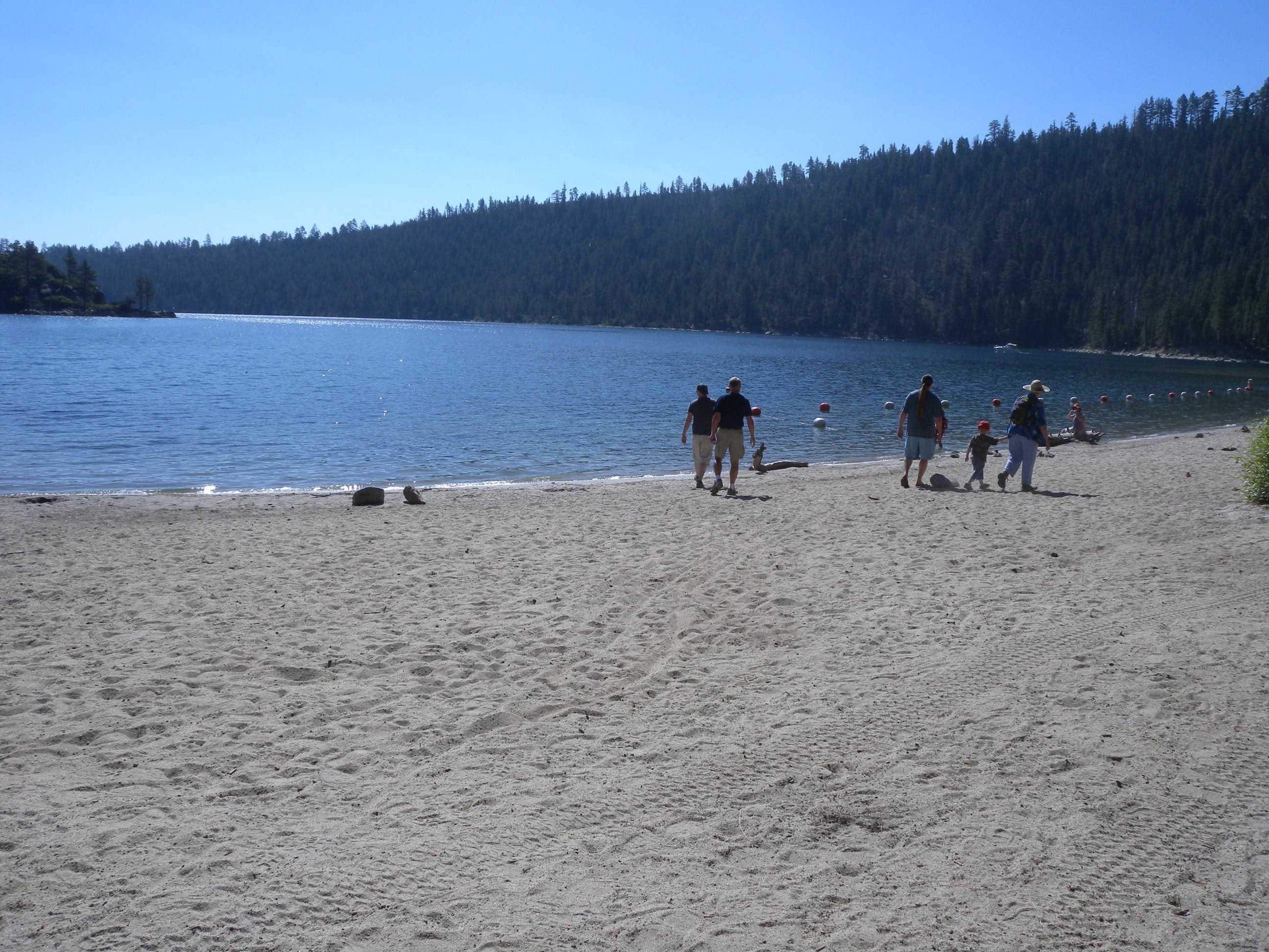
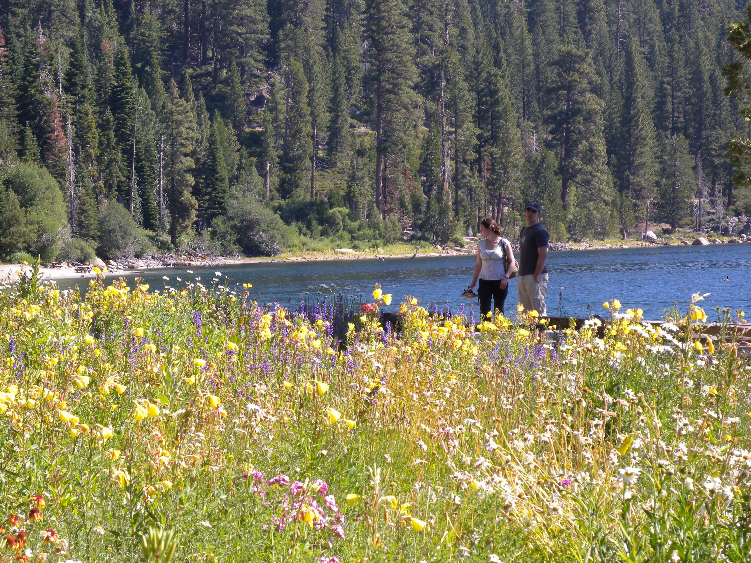
The sandy beach is a great place to relax. Though signs warn against swimming to Fannette Island, the cold water is perfect for wading and a quick dip. From the beach, you’ll also get a full view of the castle.
VIK006
Location: 38.9516747, -120.1065356
South of the castle and inland from the beach, the visitors center sells tour tickets and souvenirs. It is also the start point for this route’s 0.5-mile add-on to the base of Eagle Falls, just follow the trail behind the wood-cabin office.
VIK007
Location: 38.9509823, -120.1077754
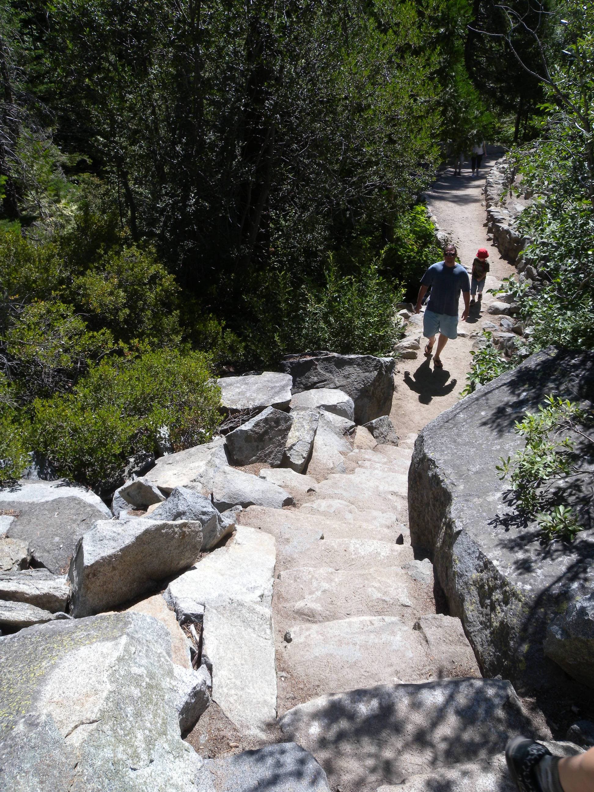
After a short stretch through the forest, the Eagle Falls Trail turns uphill on a series of granite steps toward the base of the falls.
VIK008
Location: 38.9522504, -120.1101458
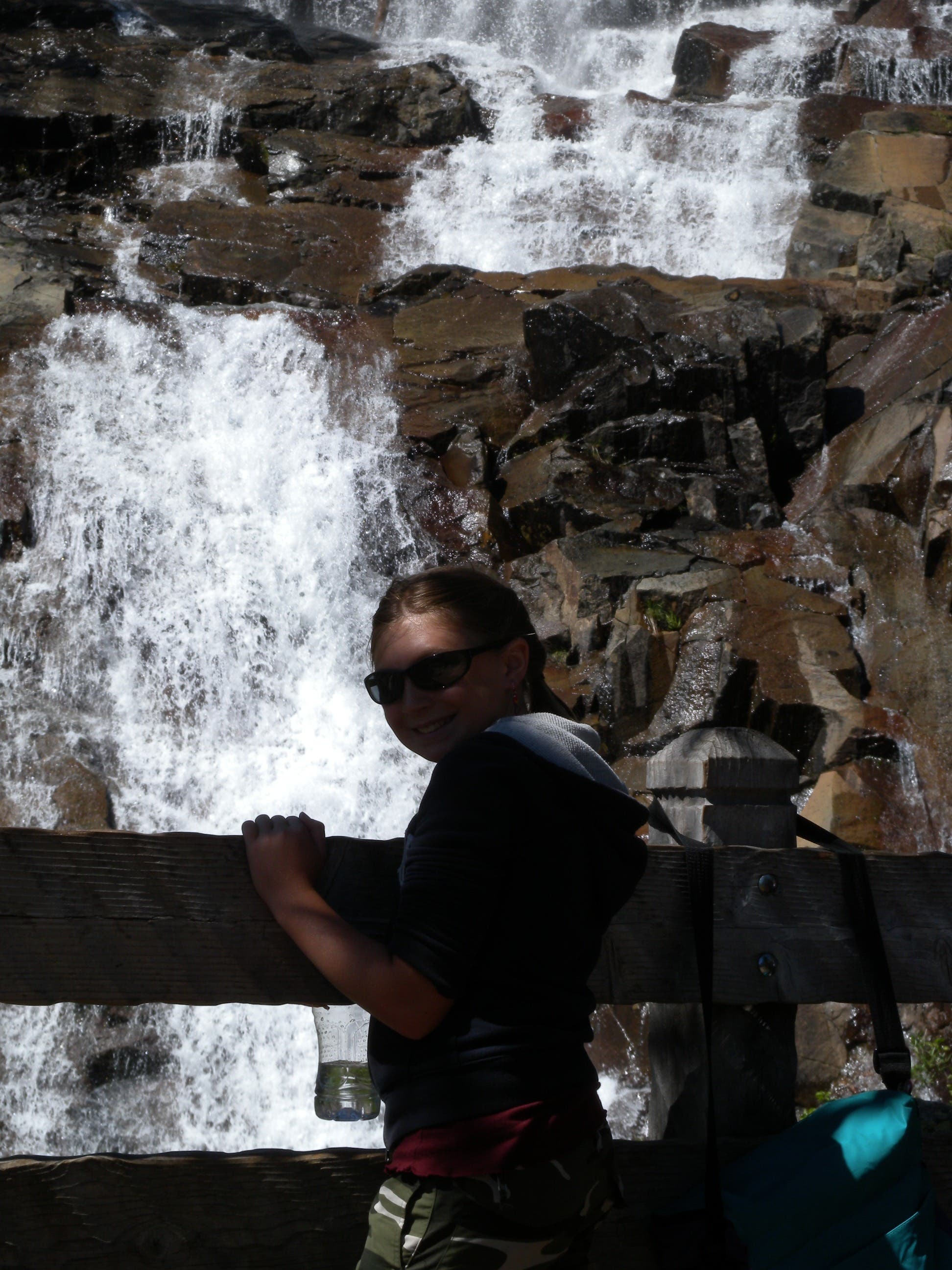
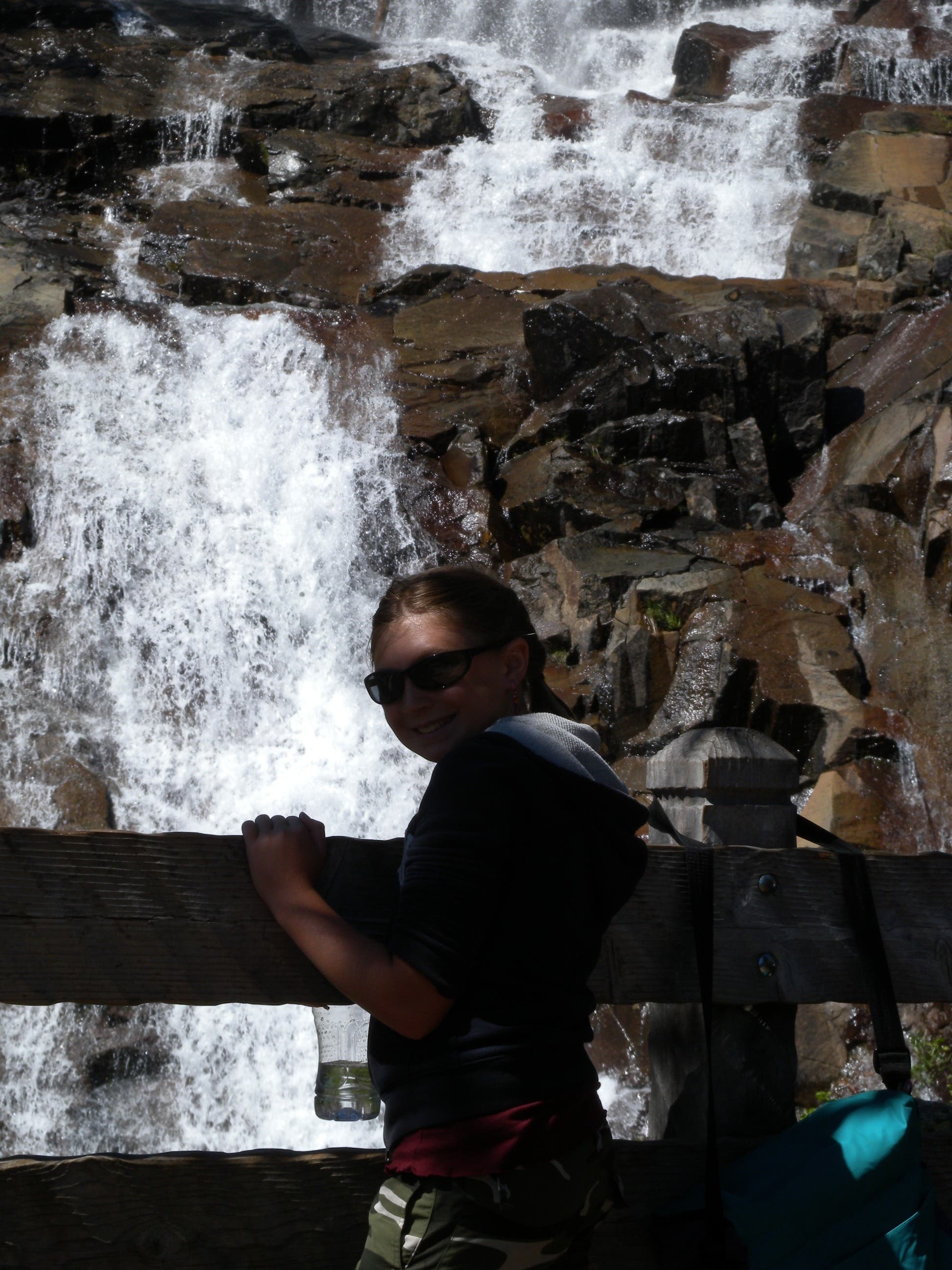
This viewing platform offers a peek at the base of Eagle Falls. Pose for a few photos and admire the sloping cascade before heading back toward the road.
VIK009
Location: 38.9522421, -120.1071739
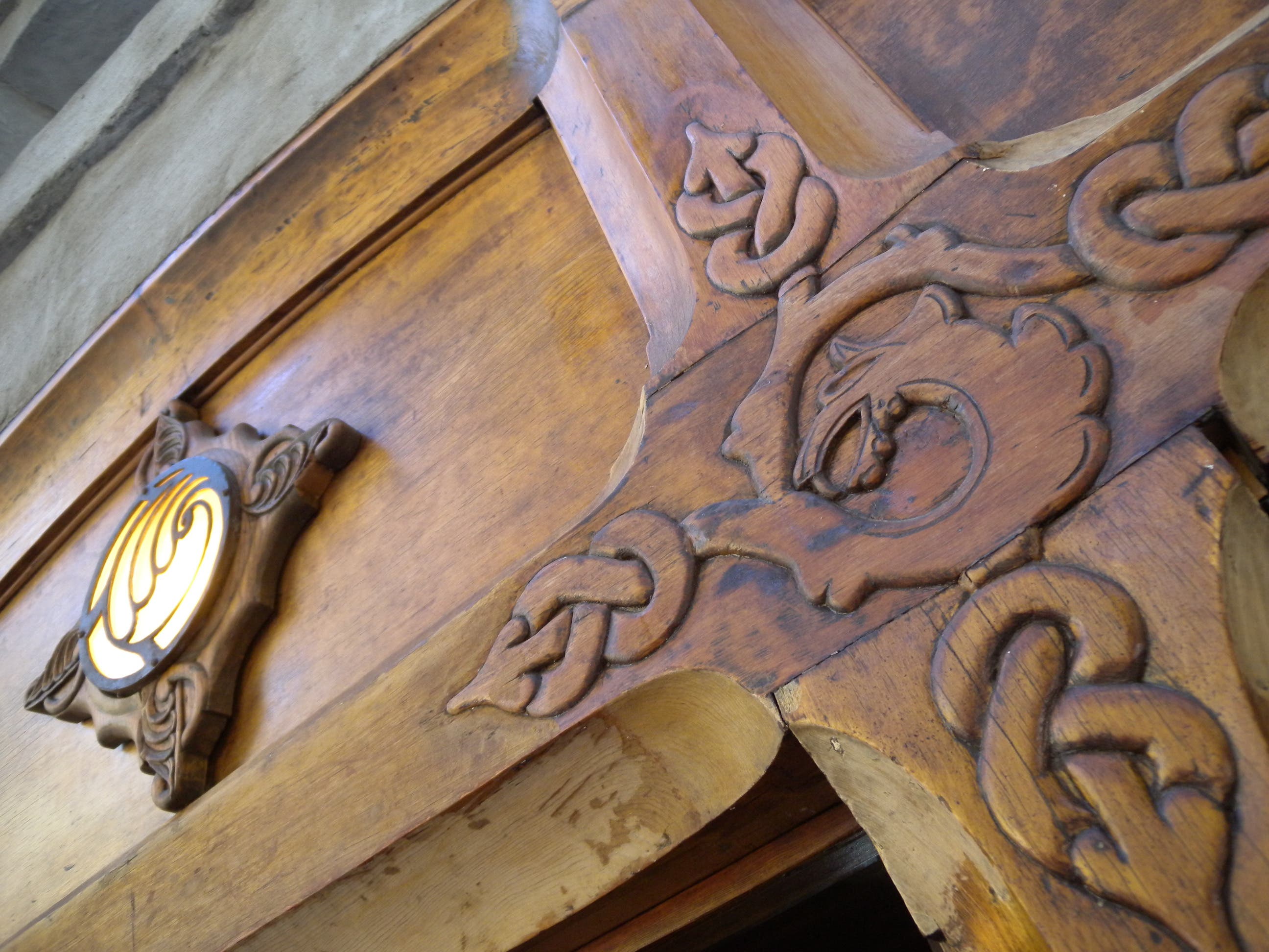
Following the park road northeast, you’ll pass behind Vikingsholm. Notice the sod roof, Scandinavian design, and serpent detailing as you pass.
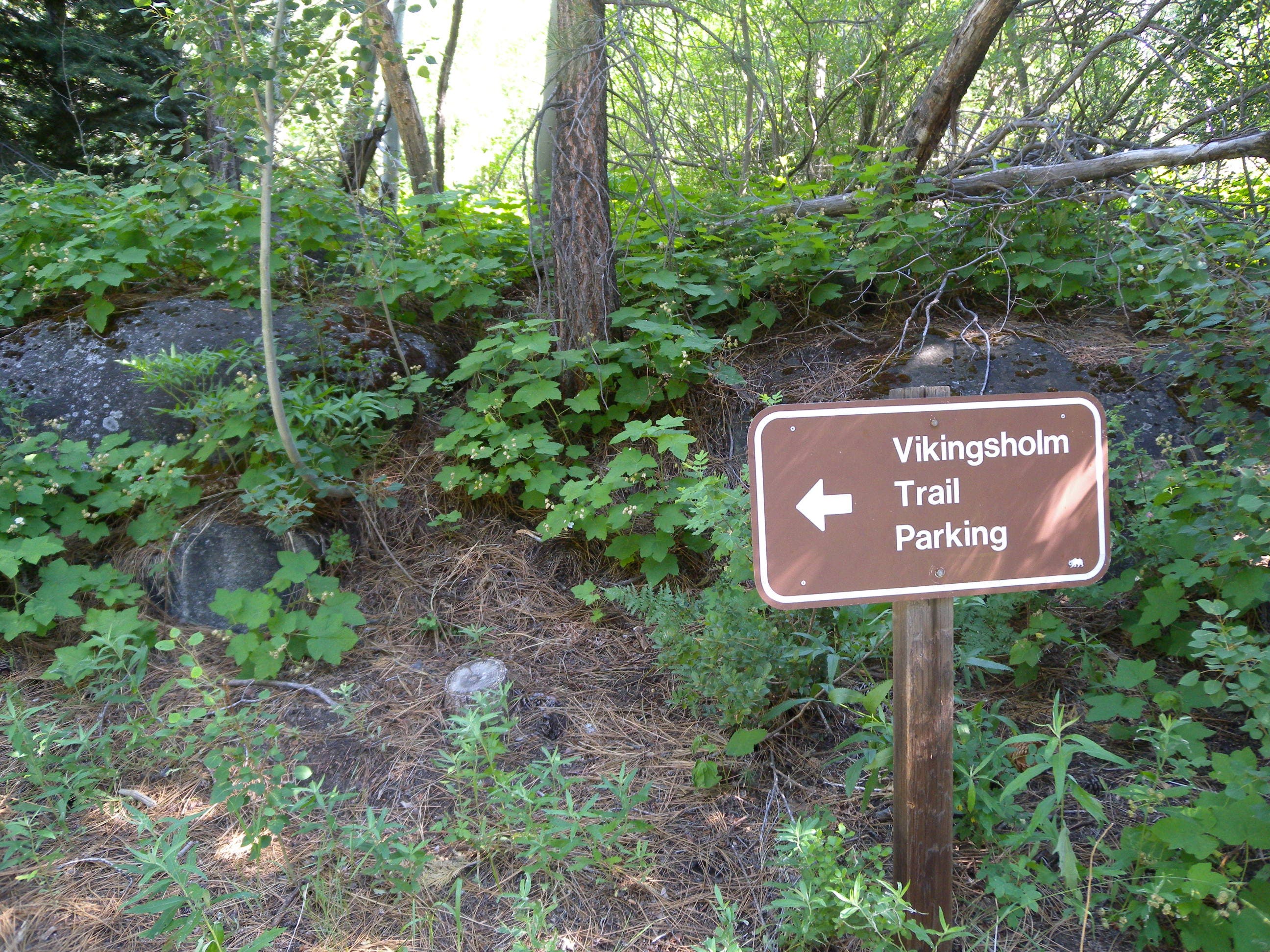
Kiosk
Location: 38.9546684, -120.1103808
A sign marks the beginning of the trail from the parking area and explains local rules and history.
View
Location: 38.9544458, -120.1098887
Looking out over Emerald Bay toward Lake Tahoe’s western shore from the granite outcropping near the trailhead.
Switchback
Location: 38.9571062, -120.1051998
Though the mileage of this trip is short, the climb back to the parking lot can be tough on young hikers.
Trees
Location: 38.956644, -120.1062391
Several huge ponderosa and cedar line the route to the bay.
Signs
Location: 38.9550967, -120.1072282
Only one junction offers an opportunity to lose your way, follow the signs and you’ll have no problem finding the castle, nor the trailhead.
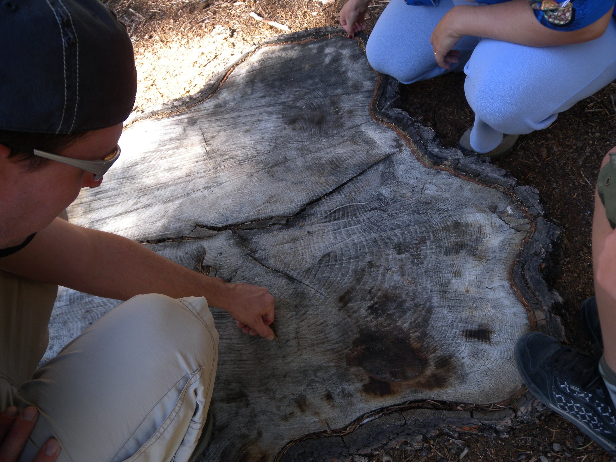
Big Trees
Location: 38.9531474, -120.1074904
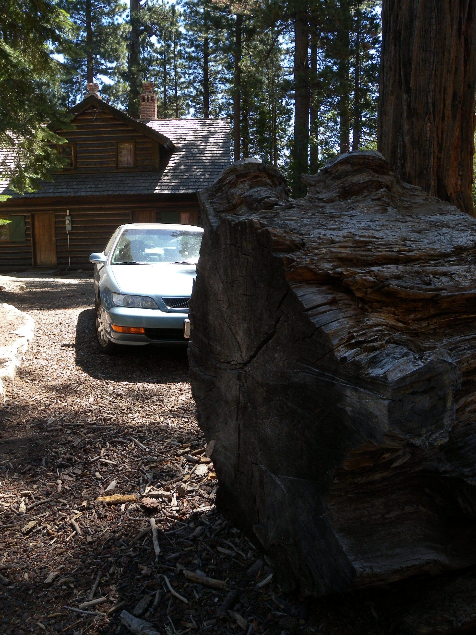
This cut tree provides an opportunity to examine growth rings and may help you estimate the age of other nearby trees.
Beach
Location: 38.9529034, -120.1072888
The beach in front of Vikingsholm is a great place to rest and relax before climbing back toward the trailhead.
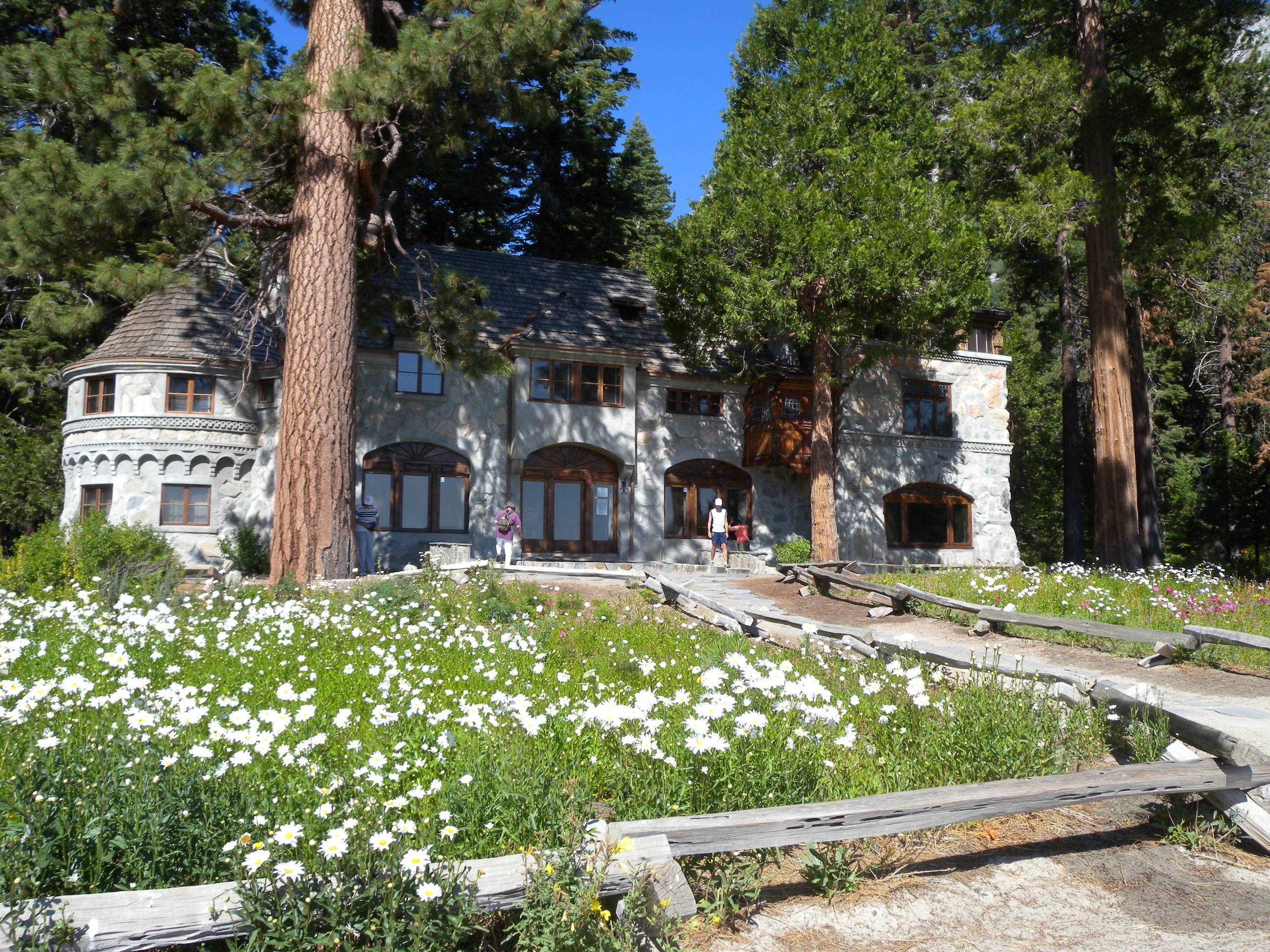
Vikingsholm
Location: 38.9526059, -120.1064943
This Scandinavian “castle” was built in 1929 and served as the summer home for a wealthy owner before being transferred to the state in 1953. During summer weekends, consider stopping in for a tour of the residence.
Flowers
Location: 38.9522004, -120.1064873
A field of wildflowers sits between Vikingsholm and Emerald Bay.
Log
Location: 38.951238, -120.1071603
The trail to Eagle Falls passes through a cut-out section of this large, fallen log just behind the visitor center.
Steps
Location: 38.9511379, -120.1081815
The trail toward Eagle Falls climbs several stretches of granite steps.
Eagle Falls
Location: 38.9522559, -120.1101574
The lower portion of the falls is guarded by a short fence, but hikers can still get close enough for some great photos.
Eagle Falls
Location: 38.9522588, -120.1101458
Details
Location: 38.9522755, -120.1071739
Scandinavian design details and a sod roof decorate the “castle” you’ll pass on this hike.