South Lake Tahoe, CA: Cascade Creek Falls

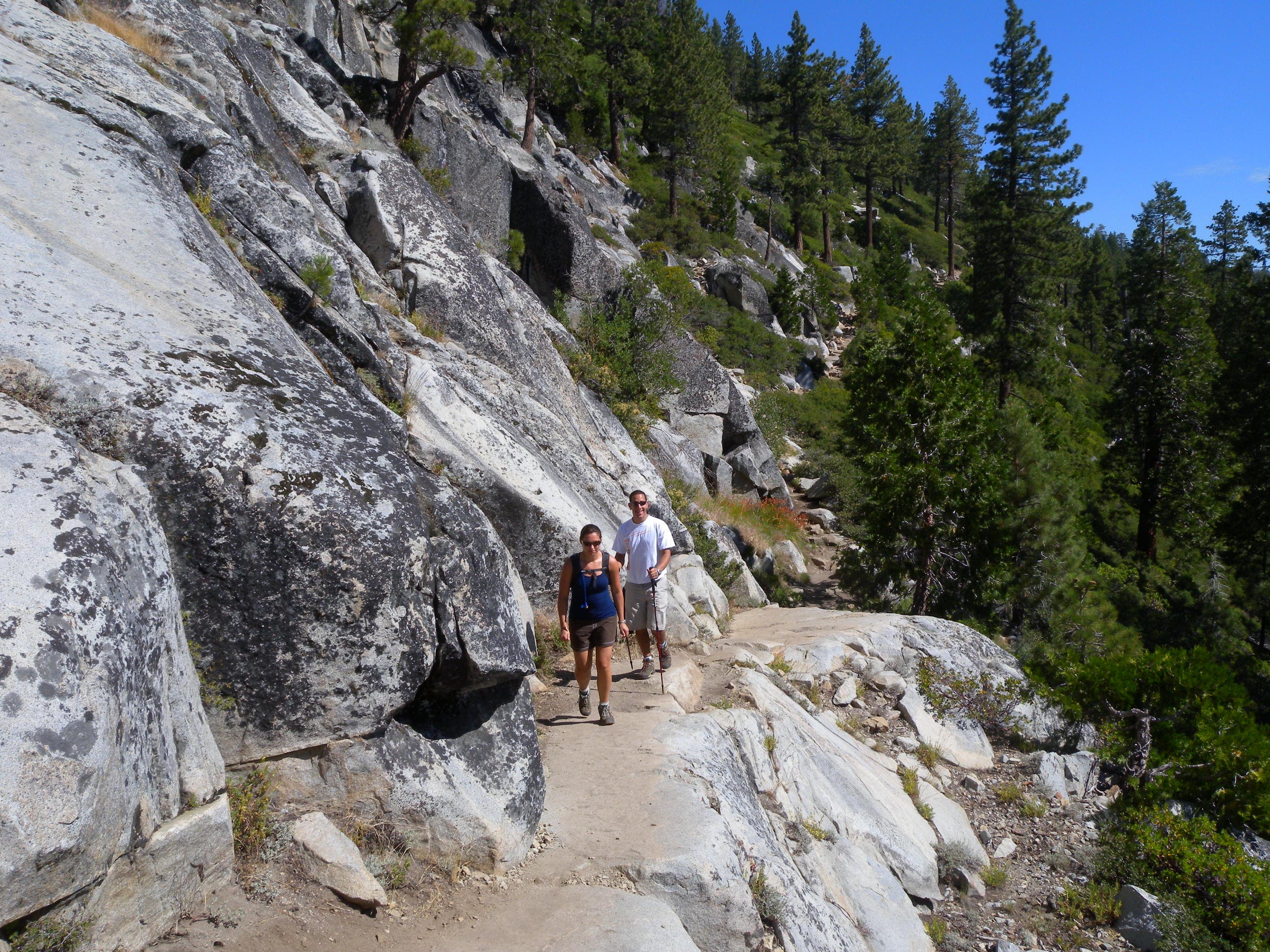
An easy out-and-back from the Bayview Campground, this 1.5-miler begins by cruising a recently thinned stretch of spruce and ponderosa forest. A sweeping right turn and a small climb lead to a rugged, exposed, granite-lined section of trail (best hiked in the morning or late afternoon when the sun is less harsh).
Just a few hundred feet from Cascade Creek, this route follows a trail marker downhill to the left for a close-up of the falls. Watch your step near the sheer rock face, but take advantage of small wading pools and sticky granite that make exploring the fall’s upper reaches easy and fun.
From the top of the falls, this route turns west and climbs alongside the creek for a spectacular view of the sloping face of Mount Tallac. You could spend lots of time exploring the basin on the creek’s west side, but this route turns east back to the trail marker and backtracks toward the trailhead.
-Mapped by Kristy Holland
Trail Facts
- Distance: 2.4
Waypoints
CCF001
Location: 38.944015, -120.099728
Trailhead parking is limited, so arrive early for a good spot. Stop to read wilderness regulations before following the signed trail on the lot’s south side.
CCF002
Location: 38.942938, -120.09946
After a short descent, follow the trail through an open pine and spruce forest. Up ahead you’ll climb a hill and begin a traverse across a granite hillside toward the falls.
CCF003
Location: 38.940861, -120.100232
Several rocky steps lead to the edge of the hill and your first look at Cascade Lake and Lake Tahoe in the distance. Admire the view, but keep your eyes on the trail while you’re moving: it gets rockier here.
CCF004
Location: 38.936639, -120.101507
The trail narrows at this rock face, watch your step and look left for views of both lakes.
CCF005
Location: 38.935257, -120.101866
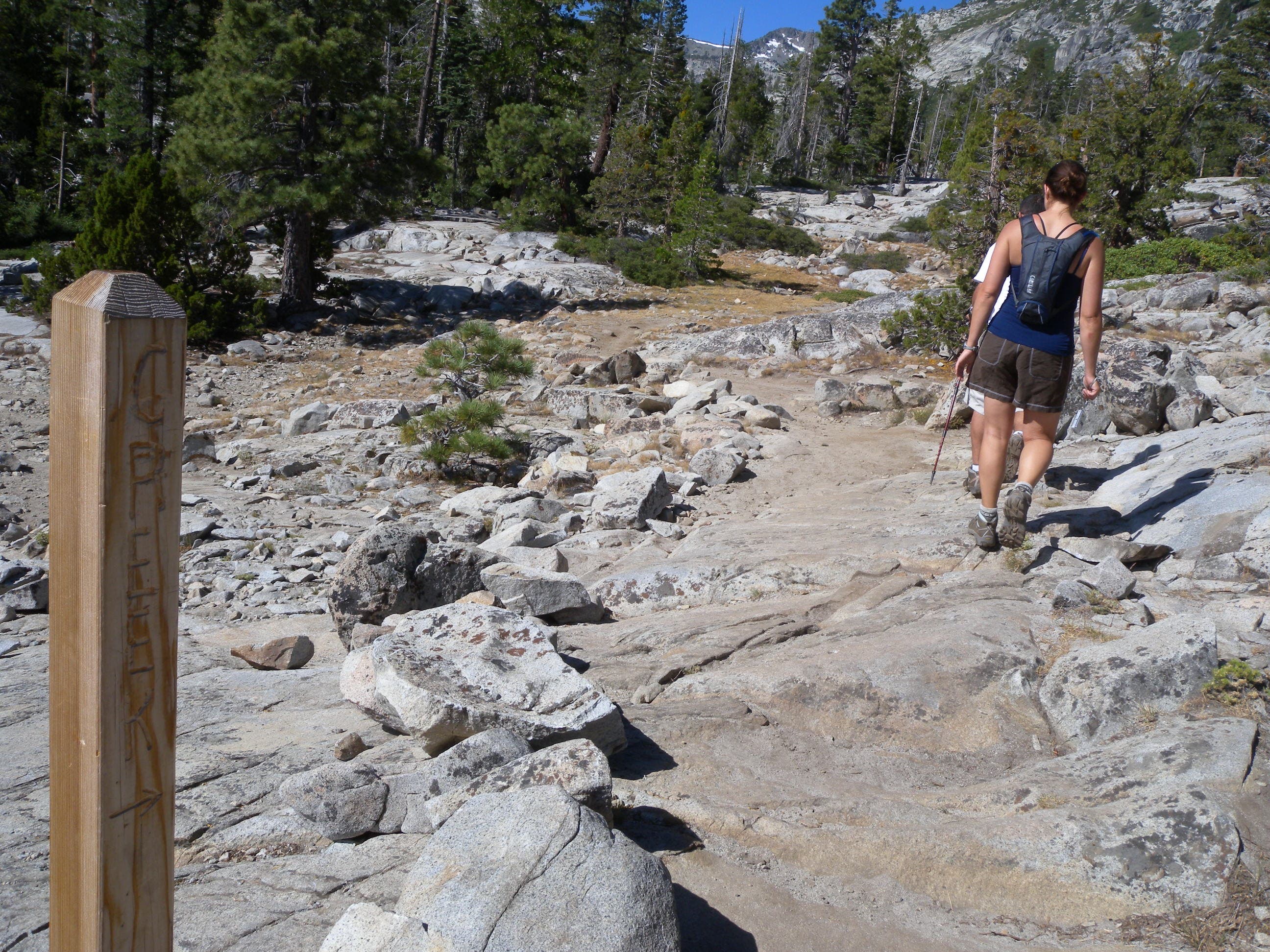
This wooden post points toward the creek and the falls. Follow the hand-stacked rocks straight ahead down the hill toward the falls, which are just a few hundred feet away.
CCF006
Location: 38.934844, -120.101416
The water cascades down the cliff to the left, but to the right, are small pools of gentle water at the base of the basin. Wade around and spend some time exploring before turning uphill alongside the creek.
CCF007
Location: 38.934614, -120.102413
This route turns back to the trail and closes a small loop at the wooden trail marker you passed earlier. If you want to add some distance and have time to spare, consider crossing the creek and wandering the slope of Mount Tallac before heading back to the trailhead.
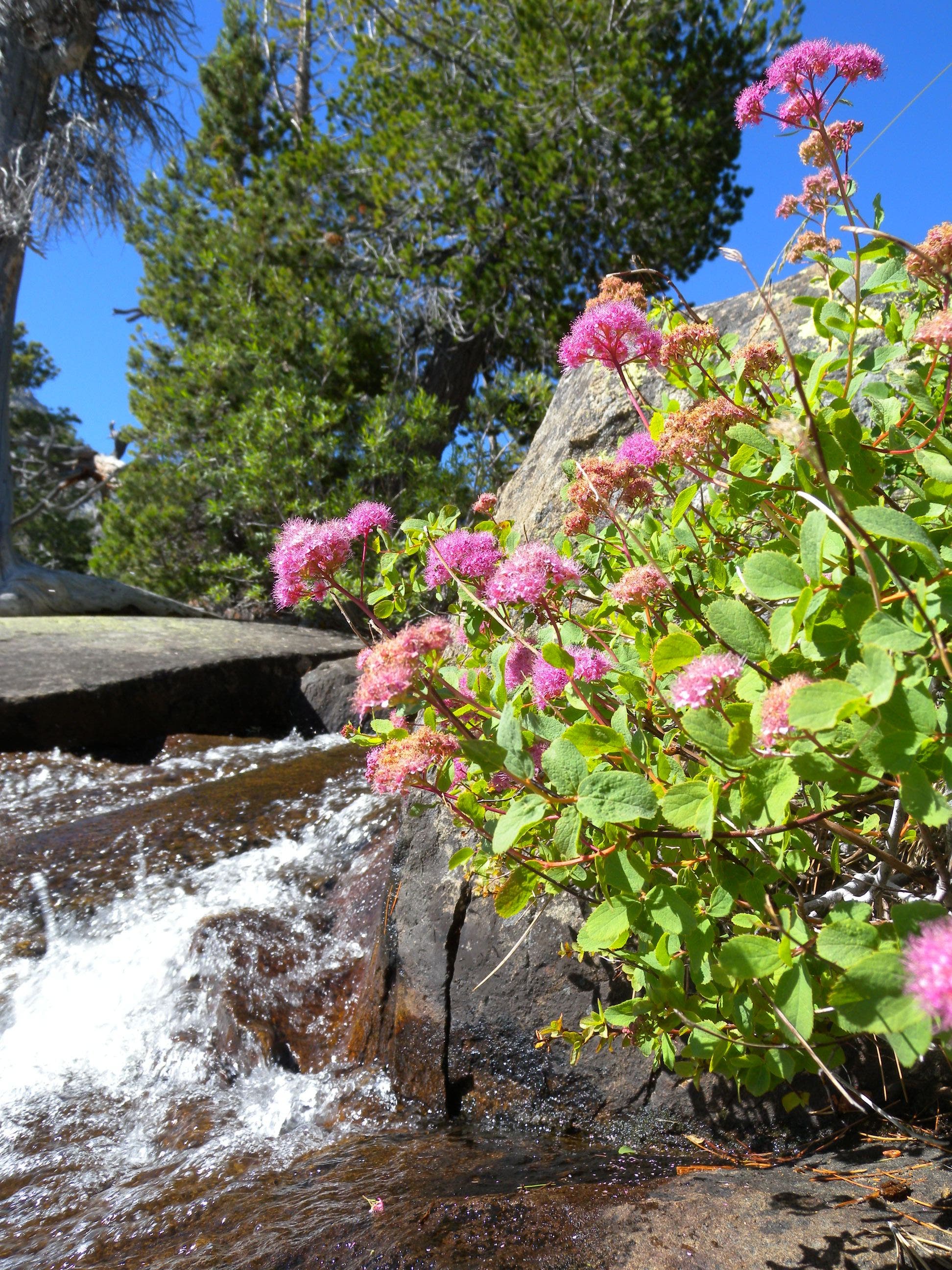
Wildflowers near Cascade Creek Falls
Location: 38.934848, -120.101383
Ferns, wildflowers, cedar, and cottonwood grow near the waterfall.
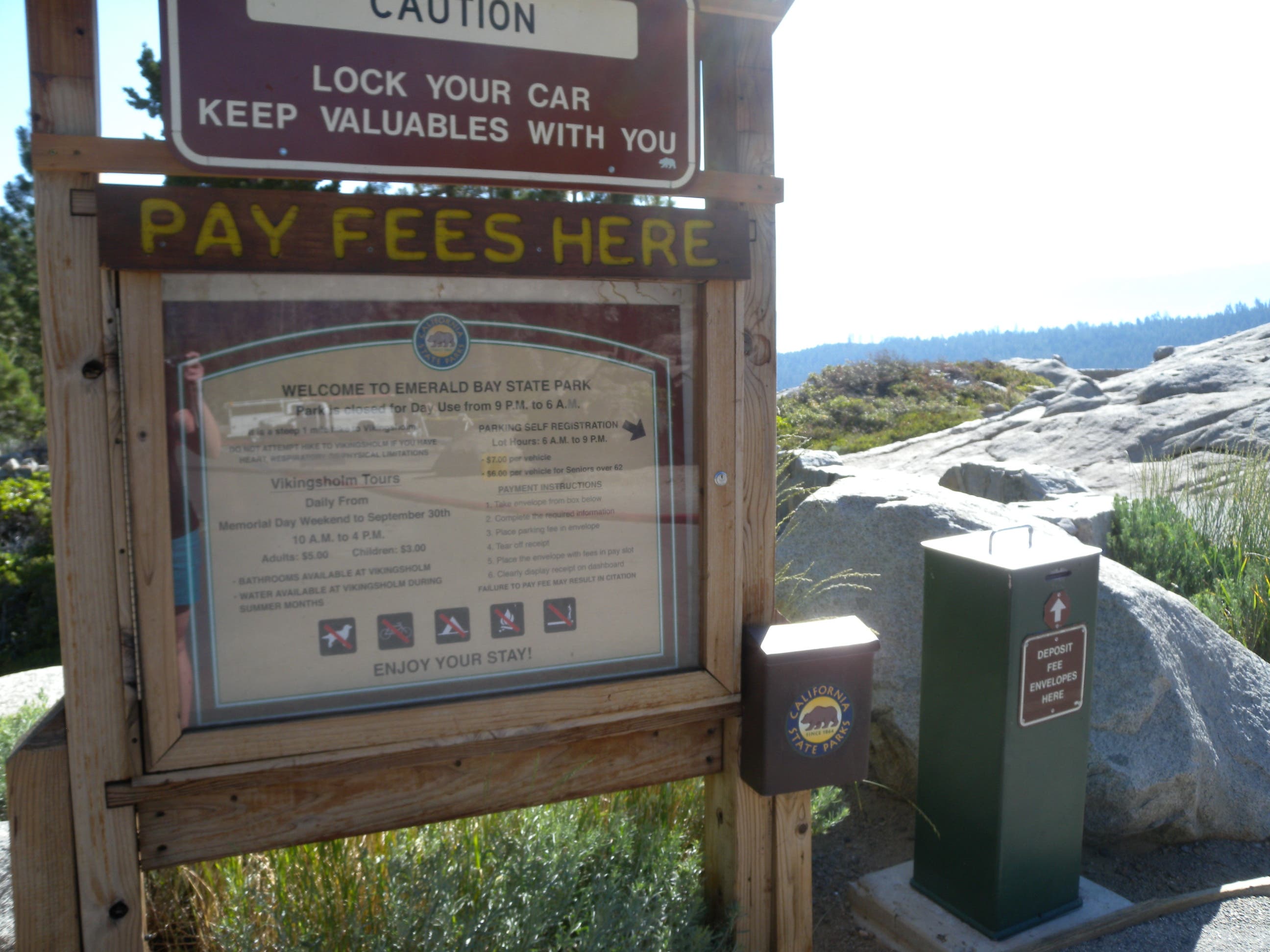
Kiosk
Location: 38.943539, -120.100061
The trailhead kiosk provides information about the Desolation Wilderness Area and is also the place to register for day-use permits for other area hikes. A permit is not required for this short route.
Trail
Location: 38.940064, -120.100452
Hikers can see Mount Tallac in the distance and Cascade Lake below the trail.
Wall
Location: 38.936638, -120.10137
The trail cuts across a steep face toward a large basin above Cascade Creek Falls.
Post
Location: 38.935259, -120.101828
Follow the arrow on this sign down the hill toward the falls.
Bridge
Location: 38.934612, -120.102375
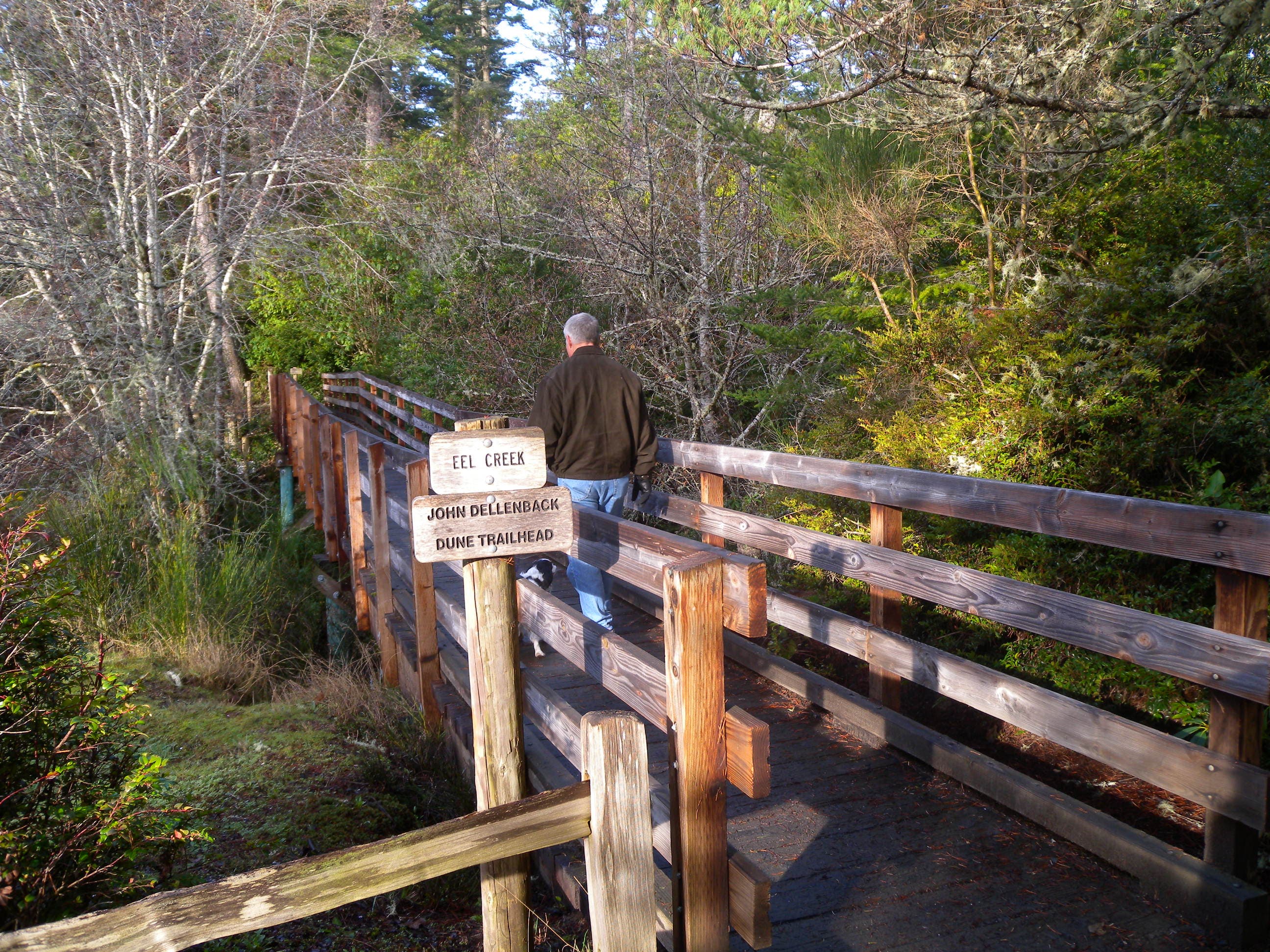
A small log bridge provides access to the basin, or a scenic spot to admire Mount Tallac before retracing your steps to the trailhead.