Published February 5, 2015 07:41AM
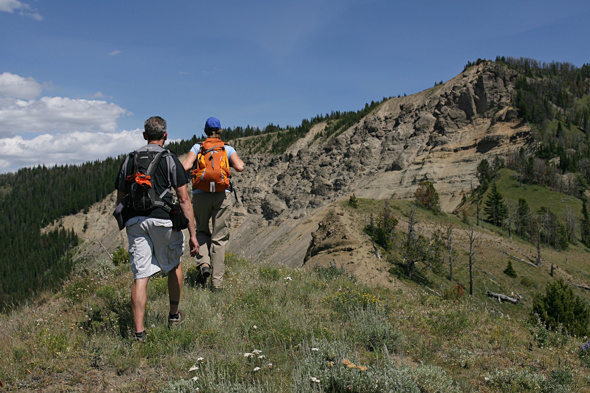
Sky Rim Loop, Yellowstone National Park, Wyoming
Find solitude in Yellowstone's mountainous northwest corner.
'Jim Peaco'
The numbers: 21 miles, 3 days
The hike: Yes, spend a day scoping Yellowstone’s geysers and bison herds like everyone else. But then do what few others do: Discover the park’s gorgeous mountain scenery on this lollipop loop in Yellowstone’s northwest corner. Follow the Dailey Creek Trail through broad meadows and camp at 7,500 feet just as you enter the woods (site WF2), where deer, elk, or moose may browse at dusk. (Be bear smart: This is also prime grizzly country.) This site is only a couple of hours from the start, but you’ll want to hit the next day’s skyline traverse early to avoid afternoon storms. Load up on water, climb to the crest of the Gallatin Range, and head southeast, rolling along an open, grassy spine for more than 5 miles, with views to the Madison Range, Lone Peak, and the Absarokas. At the far end of the traverse, don’t miss the .3-mile trip across a knife-edge to 9,930-foot Bighorn Peak, a ragged fin of black rock frequented by wild sheep. As you descend toward Black Butte Creek, watch for stumps of fossilized trees in the Gallatin Petrified Forest. Spend your second night at Black Butte Creek site WF1 (after about 12 miles), and enjoy views across a meadow. From there, it’s an easy 5-mile hike to the trailhead.
TRIP PLANNER
ADVERTISEMENT
Trailhead 45.048440, -111.139641; Dailey Creek, WY 191, just south of park boundary
Red tape Backcountry permit required ($25)
Season Mid-July to early September
Infonps.gov/yell