Silver Falls State Park, OR: Trail of Ten Falls

A waterfall lover’s—and photographer’s—nirvana, the Trail of Ten Falls features spectacular views above, below, and behind cascades of all shapes and sizes. Start at the South Falls trailhead, near parking lot F and descend the Canyon Trail to a short spur leading to Frenchie Falls. Soon afterwards, the route meets the South Falls junction. Go straight to trek through a cool, dripping cavern behind South Falls, or fork right to switchback down to the bridge below the falls.
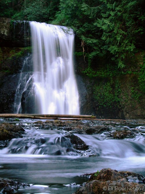
On the west side of the canyon, continue along the main trail heading north to Lower South Falls. After traveling behind Lower South Falls, the trail turns northeast and starts following the North Fork Silver Creek. Next, tour four waterfalls in rapid succession: Lower North Falls, Double Falls, Drake Falls, and Middle North Falls. Stop and savor each one for its own unique beauty.
After 3 miles, continue straight on Canyon Trail at the junction with Winter Trail. The next fall is cascading Twin Falls where a fenced area offers limited views. The trail continues another mile up the canyon offering peeks of North Falls, then descends behind the falls into a huge cavern. Enjoy views from all angles.
On the other side of North Falls, ascend to a spur that leads east to Upper North Falls. Take the spur to another gorgeous waterfall spilling into a deep, quiet pool. After a snack and a refreshing dip, start your return on the Rim Trail. At mile 5.2, turn right onto Winter Trail and descend 900 feet to views of wispy Winter Falls. Return to the Rim Trail and head south, then west, through more fir and hemlock forest to return to your starting point.
Note: An extremely popular location during spring and summer weekends, hikers will find more solitude by hiking this loop mid-week.
-Mapped by Eli Boschetto, Bosco Mountain Photo
Trail Facts
- Distance: 12.4
Waypoints
TEN001
Location: 44.880865, -122.656986
Trail of Ten Falls trailhead.
TEN002
Location: 44.880923, -122.65752
At the junction of the Canyon and Rim trails, bear left onto Canyon Trail.
TEN003
Location: 44.880407, -122.658765
Turn right onto the short spur to visit Frenchie Falls.
TEN004
Location: 44.880696, -122.658068
Frenchie Falls: This small waterfall off the main trail is not included as one of the Ten Falls.
TEN005
Location: 44.879403, -122.658974
You have 2 options at the South Falls junction. 1. Go straight to take the trail behind the waterfall. 2. Take the right fork to descend to the bridge below the falls.
TEN006
Location: 44.879403, -122.659929
Cross the bridge below South Falls.
TEN007
Location: 44.885321, -122.661152
Take in the 93-foot Lower South Falls.
TEN008
Location: 44.888046, -122.66216
Stay left on Canyon Trail at the junction with Rim Trail.
TEN009
Location: 44.892143, -122.647226
Peer through the trees for views of the 30-foot Lower North Falls. Note: The access trail to water level is washed out.
TEN010
Location: 44.891702, -122.646512
Turn left onto the 0.25-mile spur to Double Falls.
TEN011
Location: 44.891968, -122.645262
Double Falls: Dropping 178 feet, this cascading waterfall is the tallest in the park.
TEN012
Location: 44.889878, -122.646089
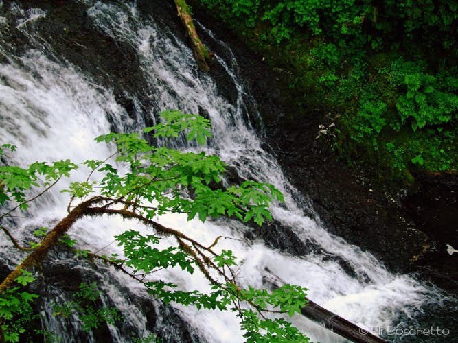
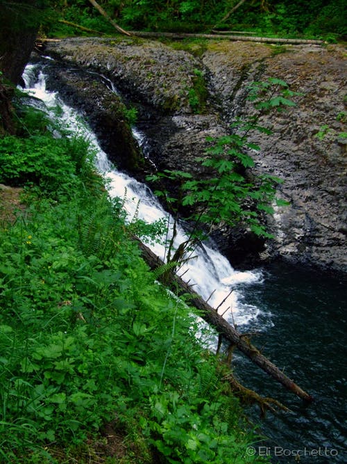
Drake Falls: A platform high above the river offers views of this 27-foot cascade.
TEN013
Location: 44.889156, -122.643122
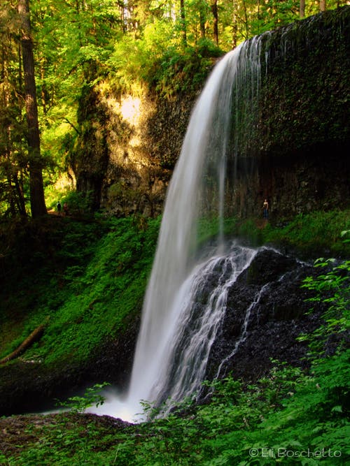
Turn right and descend the short spur to pass behind the 106-foot Middle North Falls.
TEN014
Location: 44.888495, -122.640349
Continue straight on Canyon Trail at the 3-way junction with Winter Trail. Note: To shorten this trip by 3 miles, turn right onto Winter Trail and follow it 0.4 mile to Waypoint 20.
TEN015
Location: 44.885568, -122.637076
Twin Falls: Protruding rocks split the North Fork Silver Creek to create the 31-foot Twin Falls; limited views.
TEN016
Location: 44.88493, -122.622399
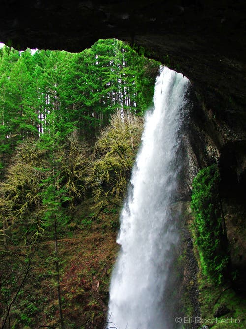
North Falls: This 136-foot waterfall drops over a cavern.
TEN017
Location: 44.88442, -122.621745
Continue straight for a 0.8-mile out-and-back to Upper North Falls.
TEN018
Location: 44.882512, -122.614782
Upper North Falls: Often bypassed by other hikers, this 65-foot waterfall plunges into a deep pool.
TEN019
Location: 44.883691, -122.627195
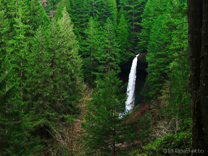
North Falls viewpoint: Near the top of the loop, the trail cuts deeply behind this 136-foot “horsetail” waterfall.
TEN020
Location: 44.88455, -122.639871
Turn right at 3-way onto Winter Trail for a 0.3-mile round-trip to Winter Falls.
TEN021
Location: 44.884618, -122.640987
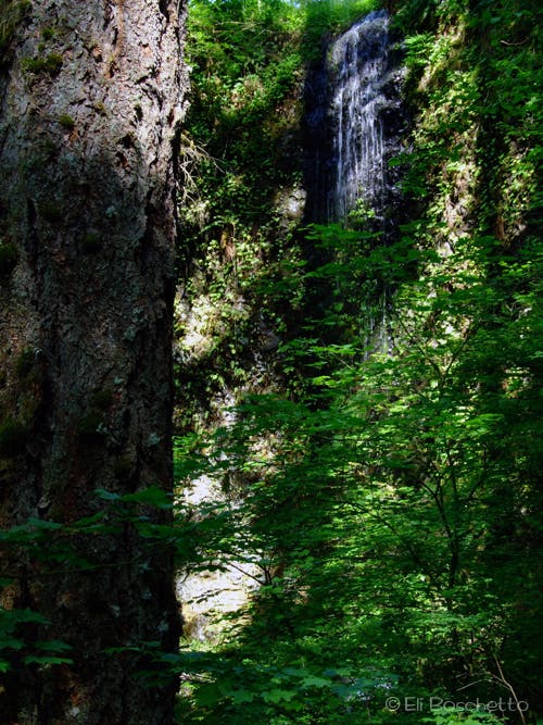
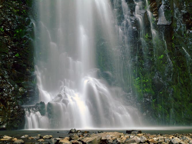
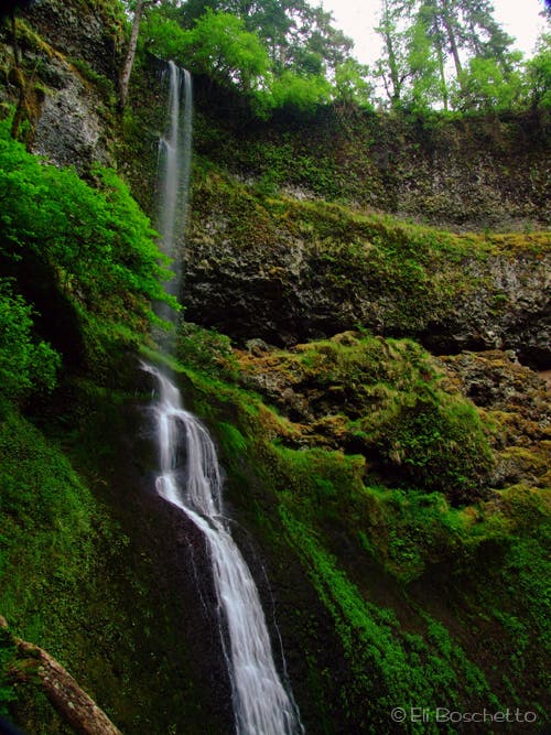
Winter Falls: This wispy, 134-foot cascade reaches its peak flow in early spring.
TEN022
Location: 44.87957, -122.65317
Cross the road and pick up the trail on the other side.
TEN023
Location: 44.879798, -122.656914
Pass a restroom. The trail continues north back to the trailhead.
Upper North Falls
Location: 44.882512, -122.614653
© Eli Boschetto
Frenchie Falls
Location: 44.880699, -122.658003
© Eli Boschetto
South Falls
Location: 44.879183, -122.65973
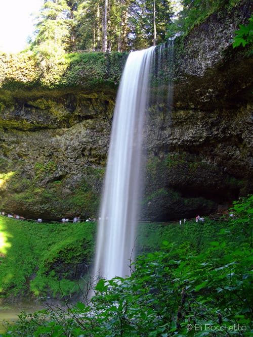
Trail loops behind these 177-foot falls for spectacular views.© Eli Boschetto
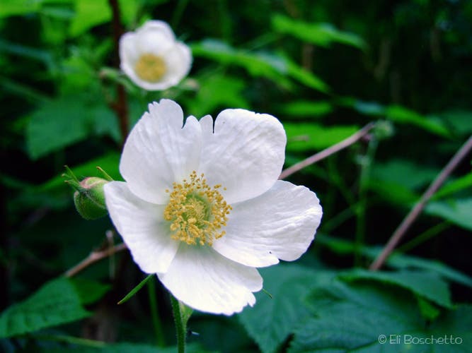
Columbia Windflower
Location: 44.882087, -122.659382
Delicate white flowers along the Trail of Ten Falls. © Eli Boschetto
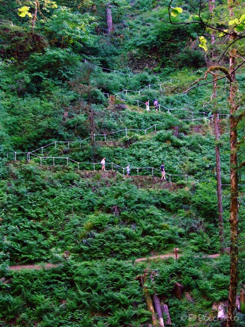
Switchbacks
Location: 44.885466, -122.661763
Descending the Trail of Ten Falls to Lower South Falls. © Eli Boschetto
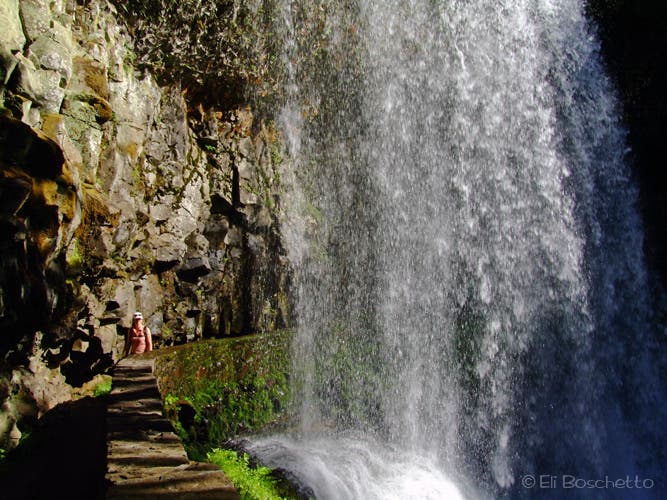
Lower South Falls
Location: 44.885401, -122.661029
Hiker on the trail behind Lower South Falls.
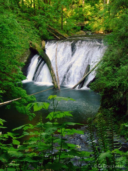
Lower North Falls
Location: 44.892151, -122.647065
© Eli Boschetto
Double Cascade
Location: 44.891976, -122.645193
© Eli Boschetto
Drake Falls
Location: 44.889893, -122.645949
© Eli Boschetto
Middle North
Location: 44.889186, -122.643787
© Eli Boschetto
Winter Bridge
Location: 44.888472, -122.640231
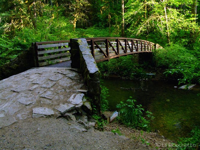
Bridge over the North Fork Silver Creek to Winter Falls and Rim Trail. © Eli Boschetto
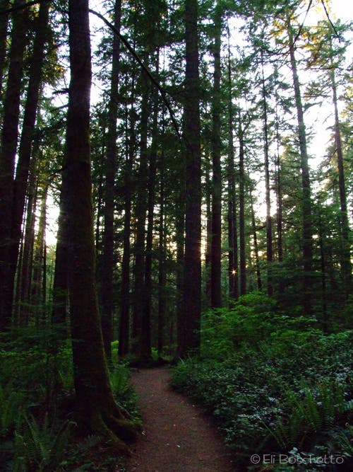
Rainforest
Location: 44.888411, -122.639995
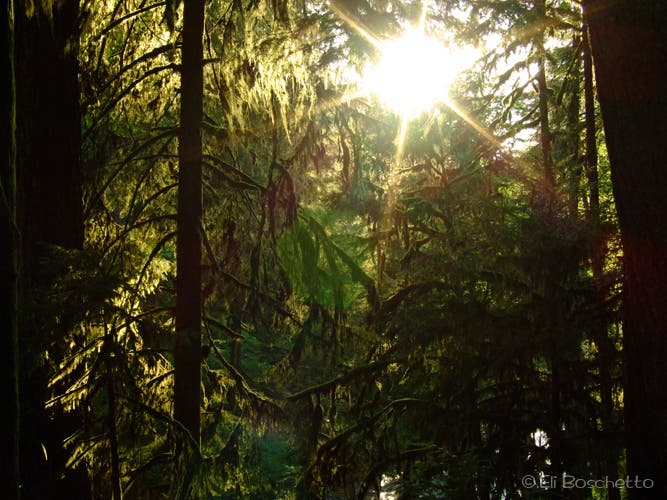
Sun filtering through the trees along the Winter Trail. © Eli Boschetto
Twin Falls
Location: 44.885553, -122.636755
© Eli Boschetto
North Falls
Location: 44.884937, -122.62226
View from inside the cavern. © Eli Boschetto
North Falls View
Location: 44.883668, -122.626981
© Eli Boschetto
Winter Falls
Location: 44.884626, -122.640912
© Eli Boschetto
Rim Trail
Location: 44.879152, -122.646475
After getting your fill of waterfalls, take a leisurely stroll back to the trailhead through shady woods. © Eli Boschetto