Shenandoah National Park: Sugarloaf Loop

This dayhike in Shenandoah’s northern district starts next to Skyline Drive and follows the Appalachian Trail for a brief stretch before turning off onto the Sugarloaf Trail. Along the way, you’ll pass a wide variety of flora, fauna, and geographical features. At mile 3.3, tackle a moderately challenging 1-mile, 500-foot ascent of Hogback Mountain. Expansive views of Shenandoah await at the top—as does the opportunity to catch views from the top of a hang gliding launch site. Wrap up your day with a post-hike snack at a scenic overlook.
-Mapped by Ivan Levin (The American Hiking Society)



Trail Facts
- Distance: 9.0
Waypoints
SLF001
Location: 38.7611961364746, -78.2822723388672
From south end of parking area, turn left onto the Appalachian Trail (AT) and cross Skyline Drive. Next, continue hiking northeast on the AT. Note: Use caution when crossing Skyline Drive. (this busy road is the main scenic drive through Shenandoah).
SLF002
Location: 38.7618980407715, -78.2778625488281
Turn right @ 3-way junction onto the blue-blazed Sugarloaf Trail; trail descends ahead. Keep an eye out for bears (Shenandoah is known for its black bear population).
SLF003
Location: 38.7503471374512, -78.2751083374024
The trail straightens out here and continues to descend gradually. Follow blue blazes as trail winds beneath tree canopy.
SLF004
Location: 38.7483406066894, -78.2744903564453
The trail crosses Piney Branch (a small stream), and then passes several old stone walls. Continue hiking south.
SLF005
Location: 38.7468566894531, -78.2748718261719
Go left @ T-junction onto blue-blazed Pole Bridge Link Trail. Follow trail for 0.5 mile.
SLF006
Location: 38.7500495910644, -78.2680130004883
Turn left @ 4-way junction onto the yellow-blazed Keyser Run Fire Road. This is a great spot for lunch or a snack. There are logs to sit on and an open area. You can also access the Little Devil’s Stairs Trail from this location (an optional side trip that adds 5.5 miles to the hike).
SLF007
Location: 38.7572402954102, -78.2572631835938
At the parking lot at the end of Keyser Run Fire Road, walk through the lot and cross Skyline Drive. Continue northeast.
SLF008
Location: 38.7581977844238, -78.2557525634766
At cement post, turn left onto the AT and ascend slightly.
SLF009
Location: 38.7594833374023, -78.2611694335938
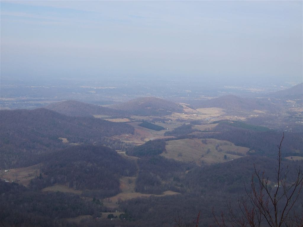
Great scenic view to the west of Shenandoah Valley and Massnutten Mountain. AT turns left, heading south.
SLF010
Location: 38.7589340209961, -78.2619171142578
The Little Hogback Overlook and parking lot are on the left with another great view of the Shenandoah Valley to the west. Follow the AT as it turns to the right and descends into a wooded area. The AT then ascends steeply up Hogback Mountain with a least ten switchbacks. Despite the steepness of the trail, the footing is fairly stable here.
SLF011
Location: 38.7610931396484, -78.2694854736328
Summit the first crest of Hogback Mountain. Stay straight and continue following AT. Catch another view of the valley through the trees at the summit.
SLF012
Location: 38.7618827819824, -78.2718734741211
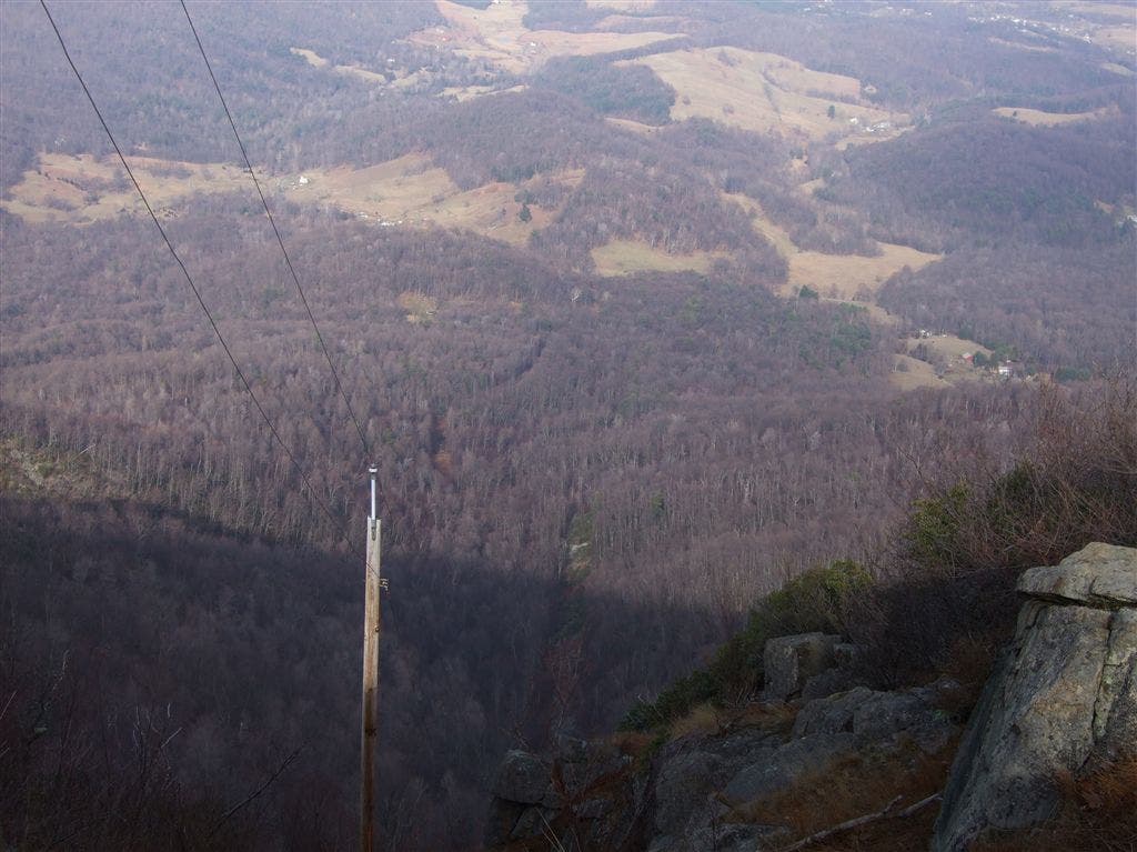
At the cement post, go straight to follow the AT. The trail to the left leads to a small spring. In 100 yards, admire the view to the west: Browntown Valley lies below and Dickey Ridge rises to the north. This rock ledge is one of three hang glider launch sites in the park. Follow the AT to the top of Hogback Mountain’s second crest—the highest point of the park’s northern district.
SLF013
Location: 38.76220703125, -78.277099609375
Turn left onto service road, and follow the AT across Skyline Drive.
SLF014
Location: 38.7620010375977, -78.2782363891602
Turn right on the AT @ T-intersection marked by cement post (Sugarloaf Trail starts on the left). Cross Skyline Drive, then continue past the parking lot where the hike started. Stay on the AT.
SLF015
Location: 38.7587051391602, -78.2850723266602
Trail passes a clearing on the left with scenic views of the eastern side of Shenandoah National Park. This is a great post-hike snack spot. Next, turn around on the AT and continue back to the parking lot.
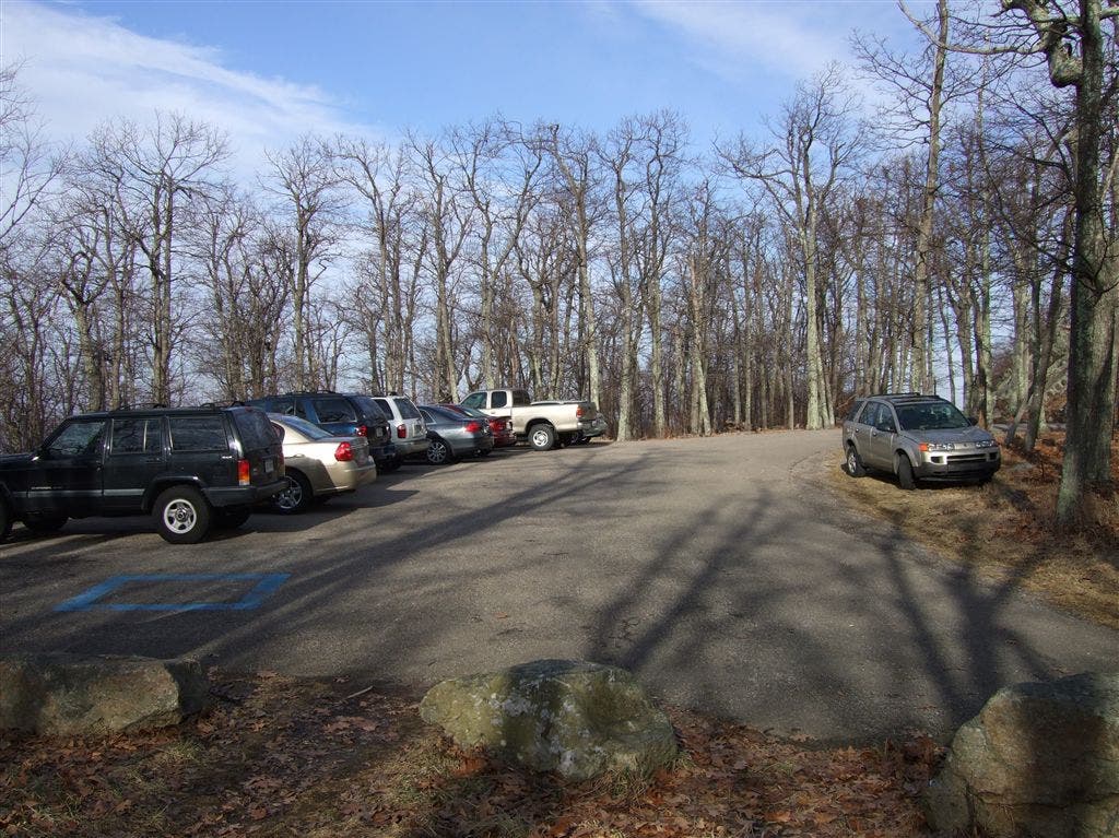
Parking Lot
Location: 38.761116027832, -78.2820587158203
The parking lot at milepost 21 on Skyline Drive.
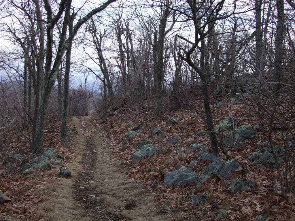
Sugarloaf Trail
Location: 38.7561683654785, -78.2752075195312
Hiking the Sugarloaf Trail.
Piney Branch
Location: 38.7482833862305, -78.2744598388672
Crossing Piney Branch on the Sugarloaf Trail.
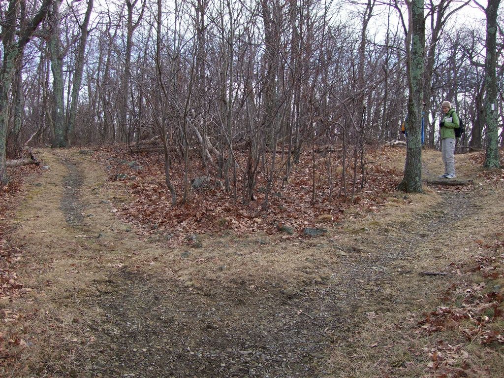
Trail Junction
Location: 38.7500953674316, -78.2679672241211
Trail Junction: Pole Bridge Link Trail, Keyser Run Fire Road, and Little Devil Stairs Trail.
Keyer Run Fire Road
Location: 38.7552375793457, -78.2651824951172
Walking up the Keyser Run Fire Road.
Appalachian Trail
Location: 38.7581672668457, -78.2567672729492
Shenandoah Valley
Location: 38.7592468261719, -78.2607650756836
View of Shenandoah Valley from the AT.
Turn in AT
Location: 38.7594718933106, -78.2611312866211
The AT turns left away from the scenic overlook.
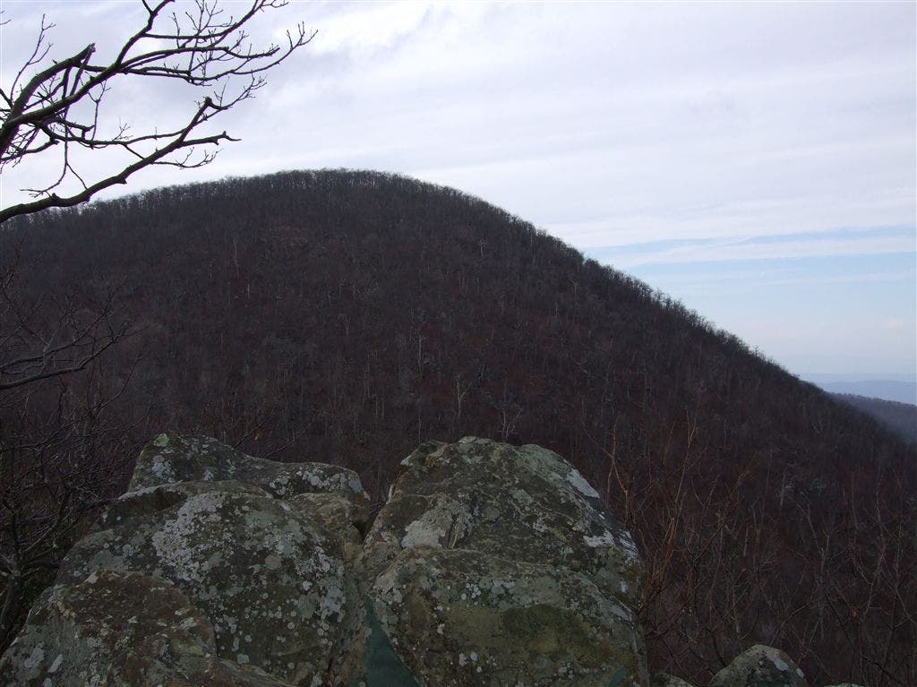
View of Hogback Mountain
Location: 38.7589530944824, -78.2618560791016
View of Hogback Mountain from the AT.
Hogback Mountain
Location: 38.7610282897949, -78.2693786621094
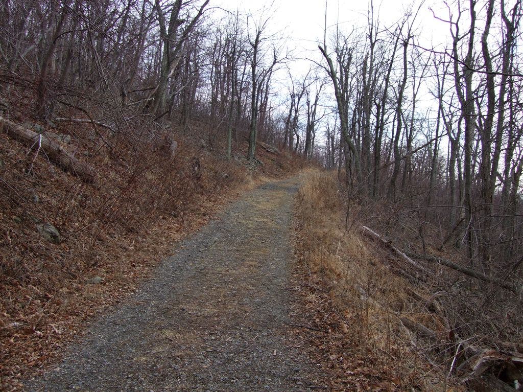
Looking north up the AT at the first crest of Hogback Mountain.
Launch Site
Location: 38.7618789672852, -78.2717590332031
One of three hang-gliding launch sites in the park.