Shenandoah National Park: Hawksbill Summit Loop (WP414 - 453)

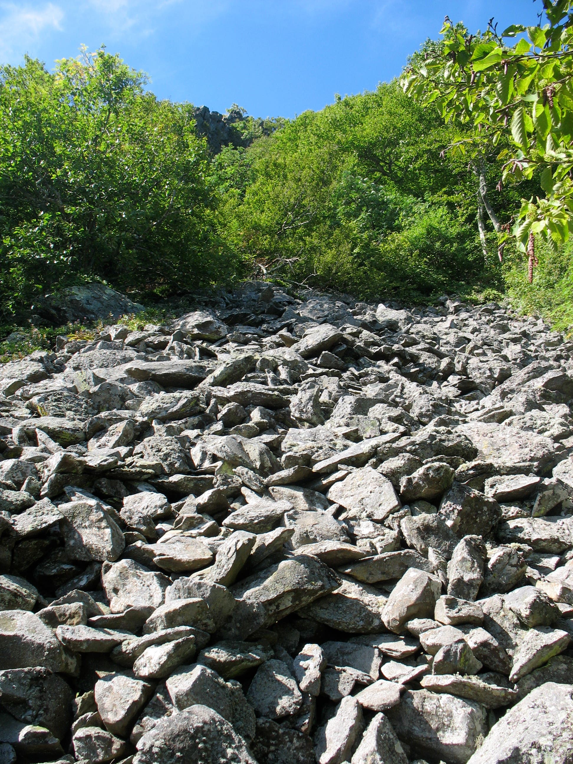
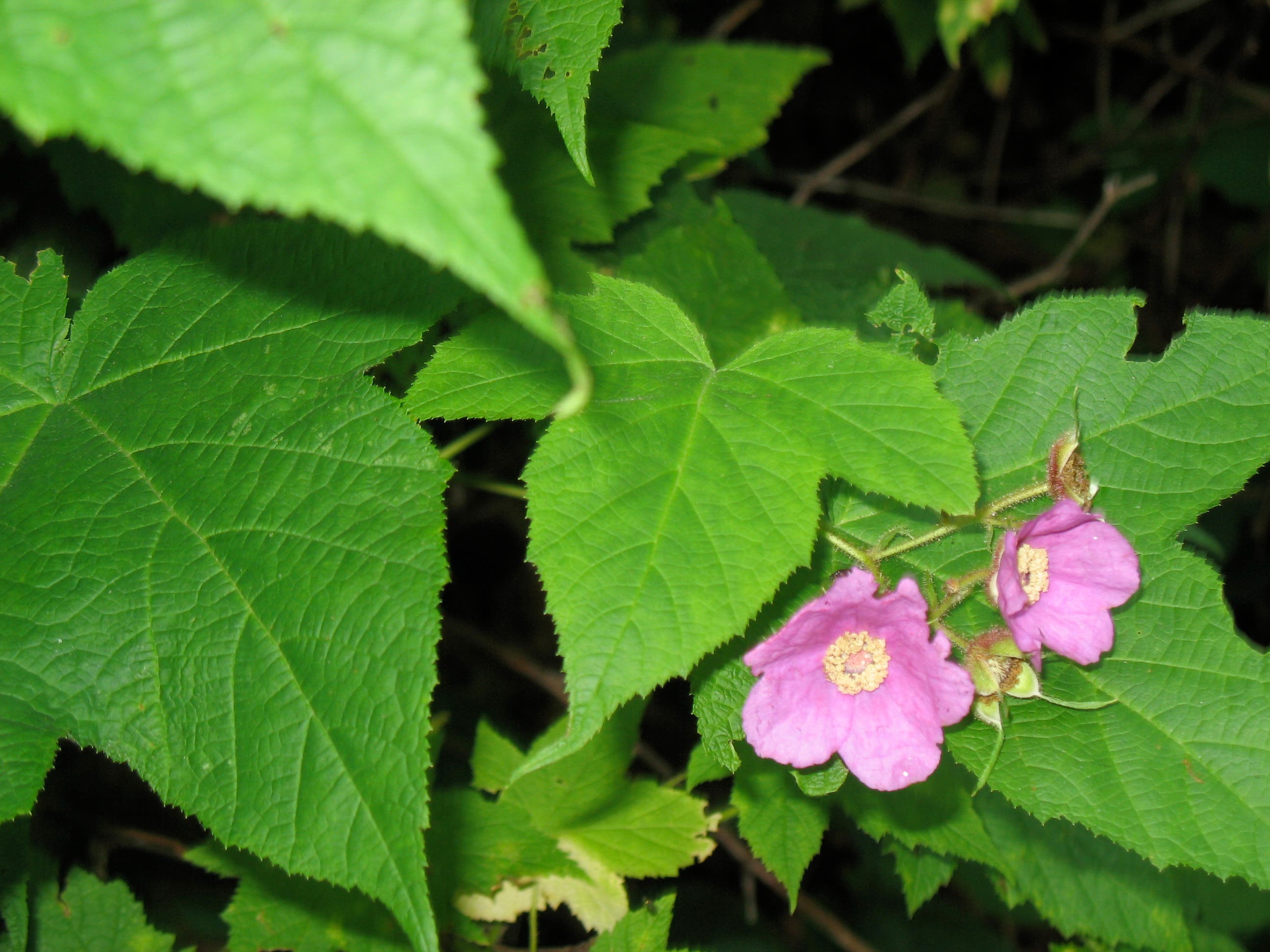
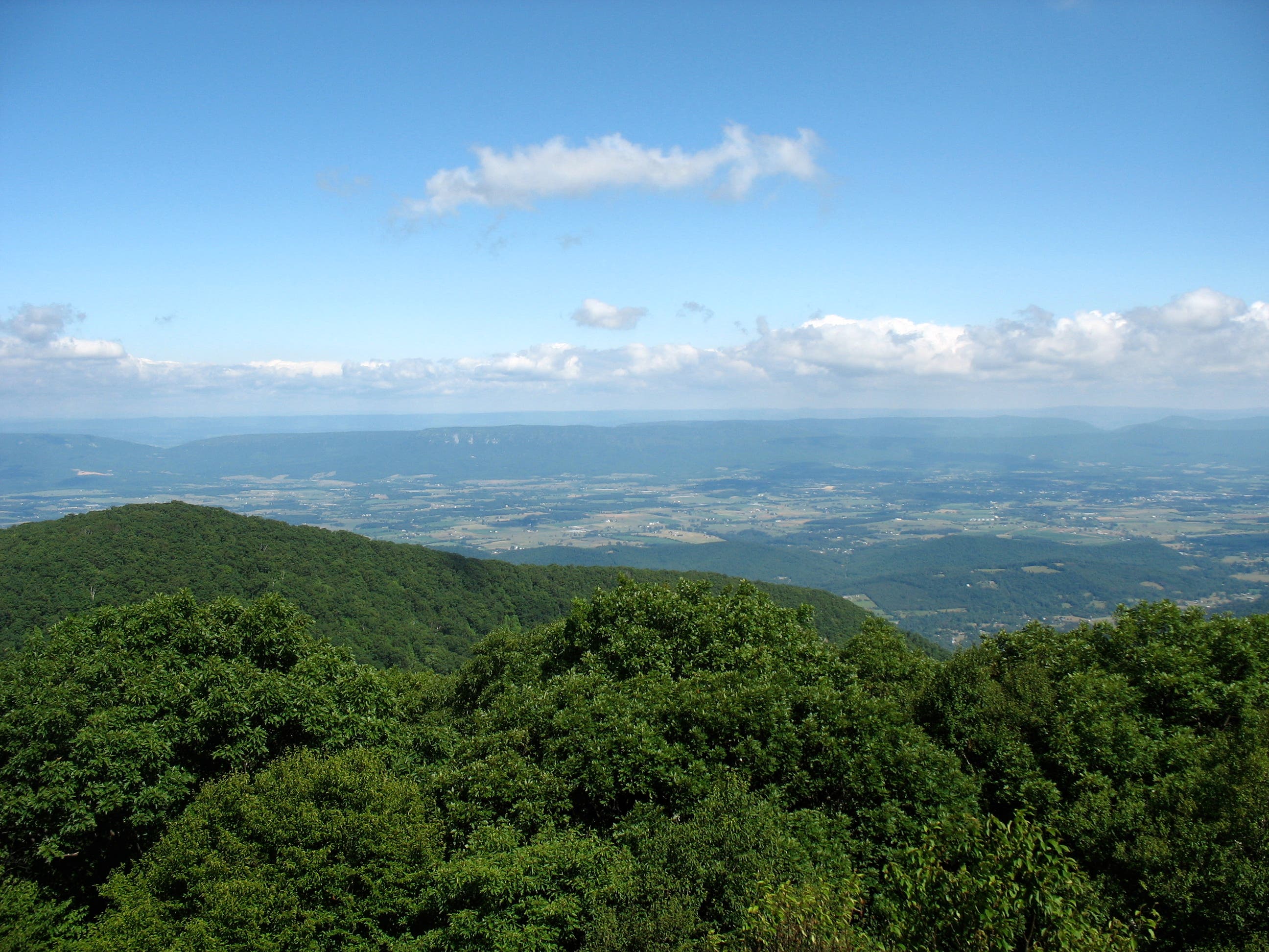
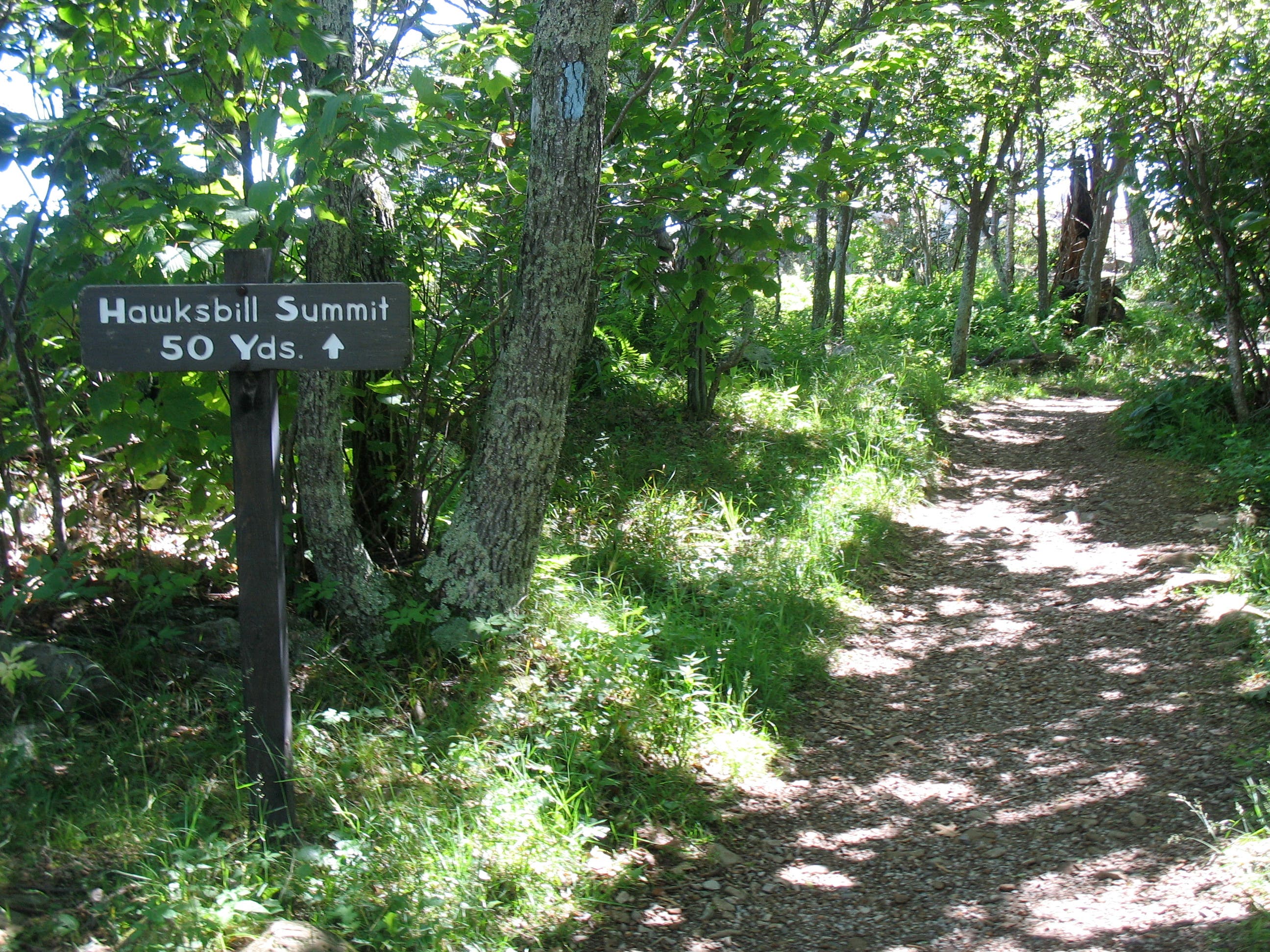
A top pick for those with limited time, this moderate loop saves the views – and the 4,051 foot summit – for last. To start, hop onto the spur trail at the northern end of the parking lot, following it 50 yards to the Appalachian Trail (AT). The woodsy, white-blazed path swings back and forth from the peak’s western ridge, serving up tantalizing glimpses of Shenandoah Valley before straightening out along the ridgeline itself. Three separate boulder fields lurch onto the trail, the jumbled talus perched precariously on the adjacent slope. Look for wildflowers and tree-framed valley views then join the shaded Salamander Trail for an easy, twisting climb to the top of the peak.
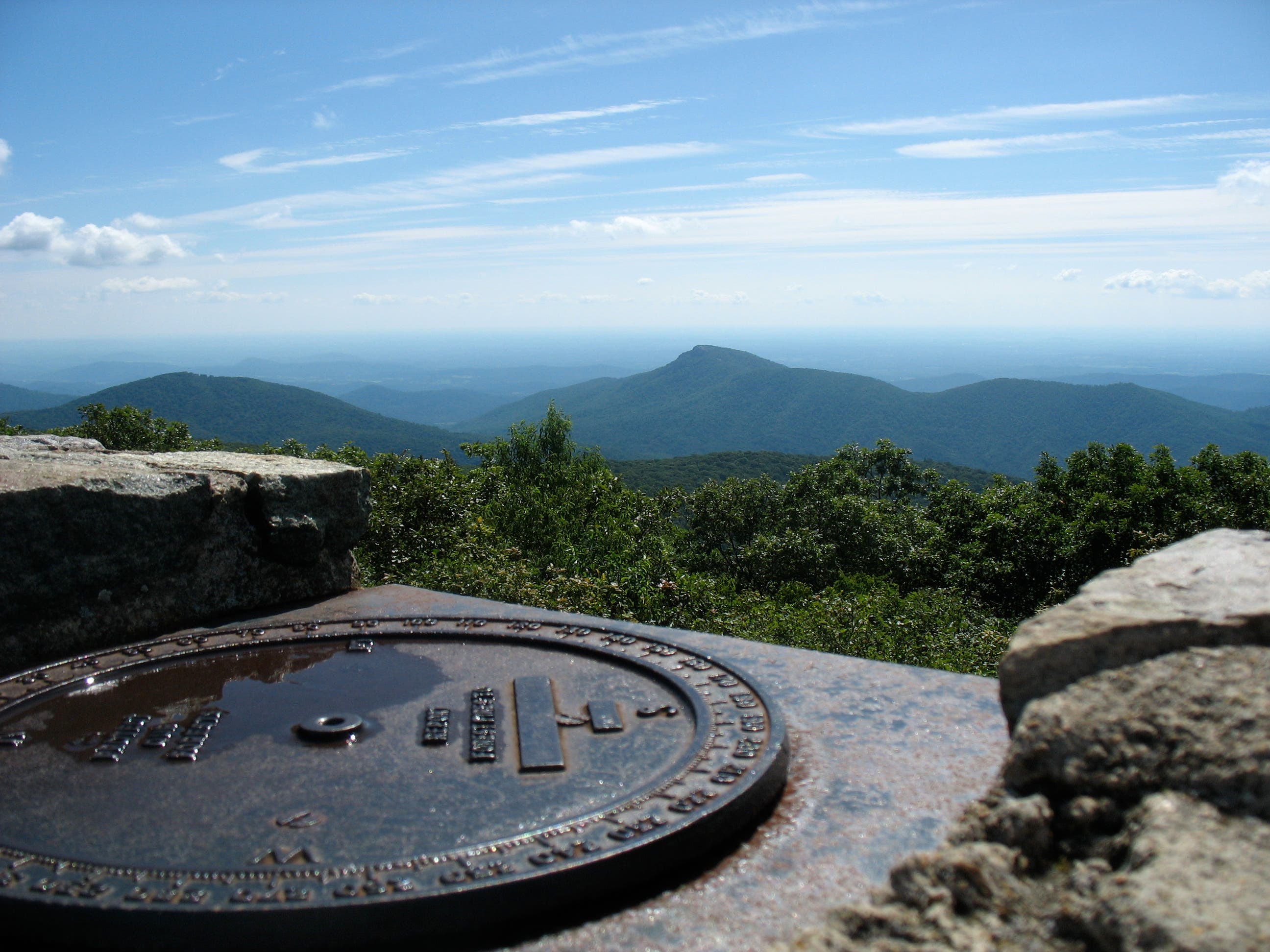
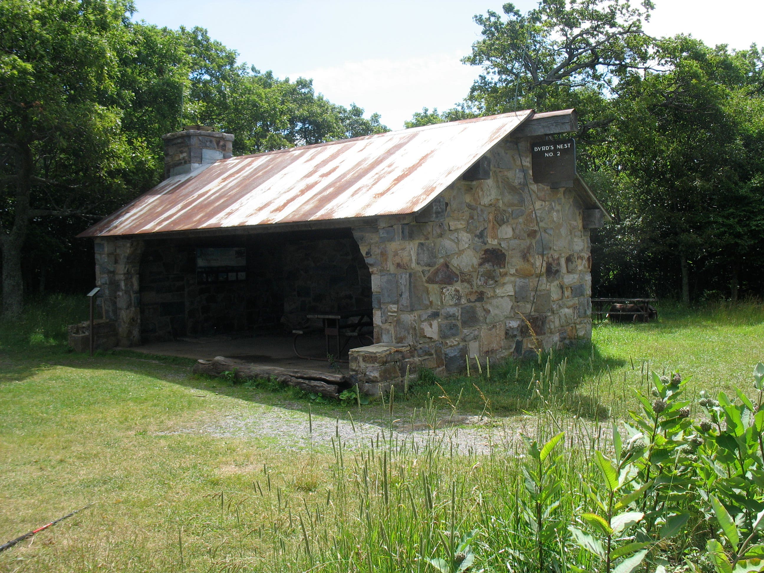
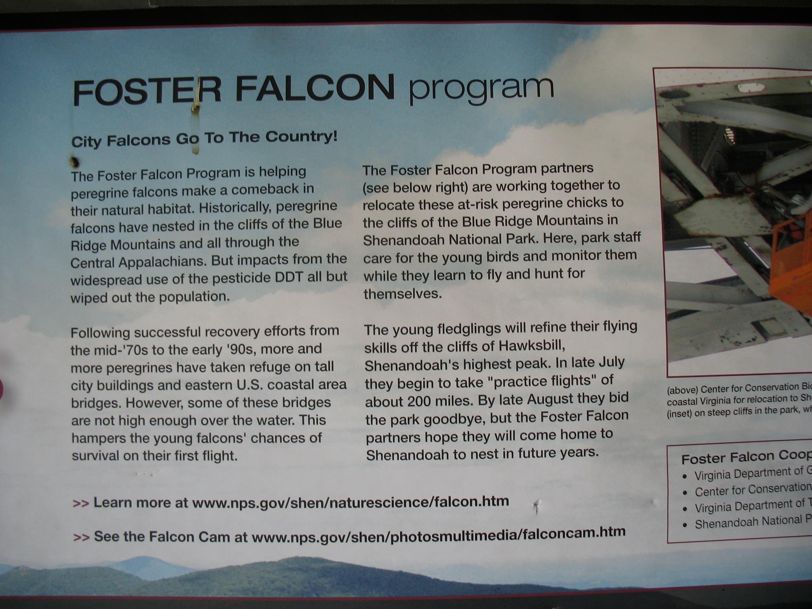
A picnic table and Byrd’s Nest Shelter No.2 – named after former Virginia Senator Harry F. Byrd – come into view just before the summit. Step inside the shelter for an informative summary of the peregrine nesting area just south. The summit itself is capped by a stone-walled observatory with directional markers. Grab the steep Lower Hawkbill trail for a quick drop back to the parking lot.
Trail Facts
- Distance: 1553.0
Waypoints
HSL001
Location: 38.5561575, -78.3868525
Park at the Hawksbill Gap parking area (this is not the same as the Upper Hawksbill lot, which is just south). If you’ve got hiking poles in the car, you may want to grab them. This trail is very rocky in places, and the descent from the summit is steep.
HSL002
Location: 38.5563176, -78.3865705
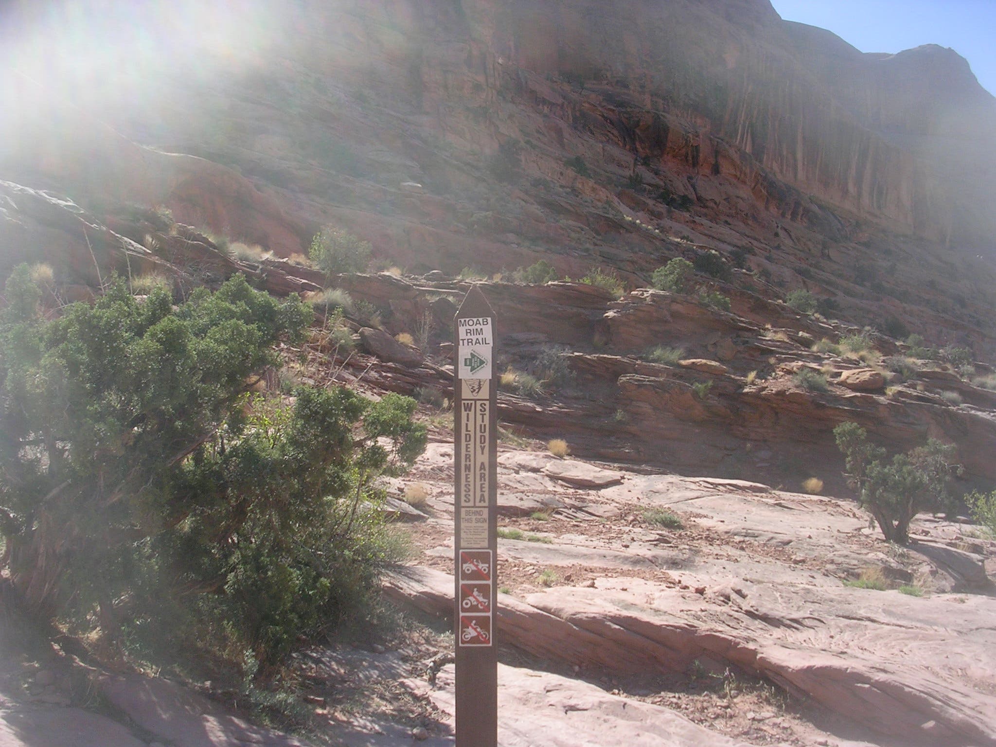
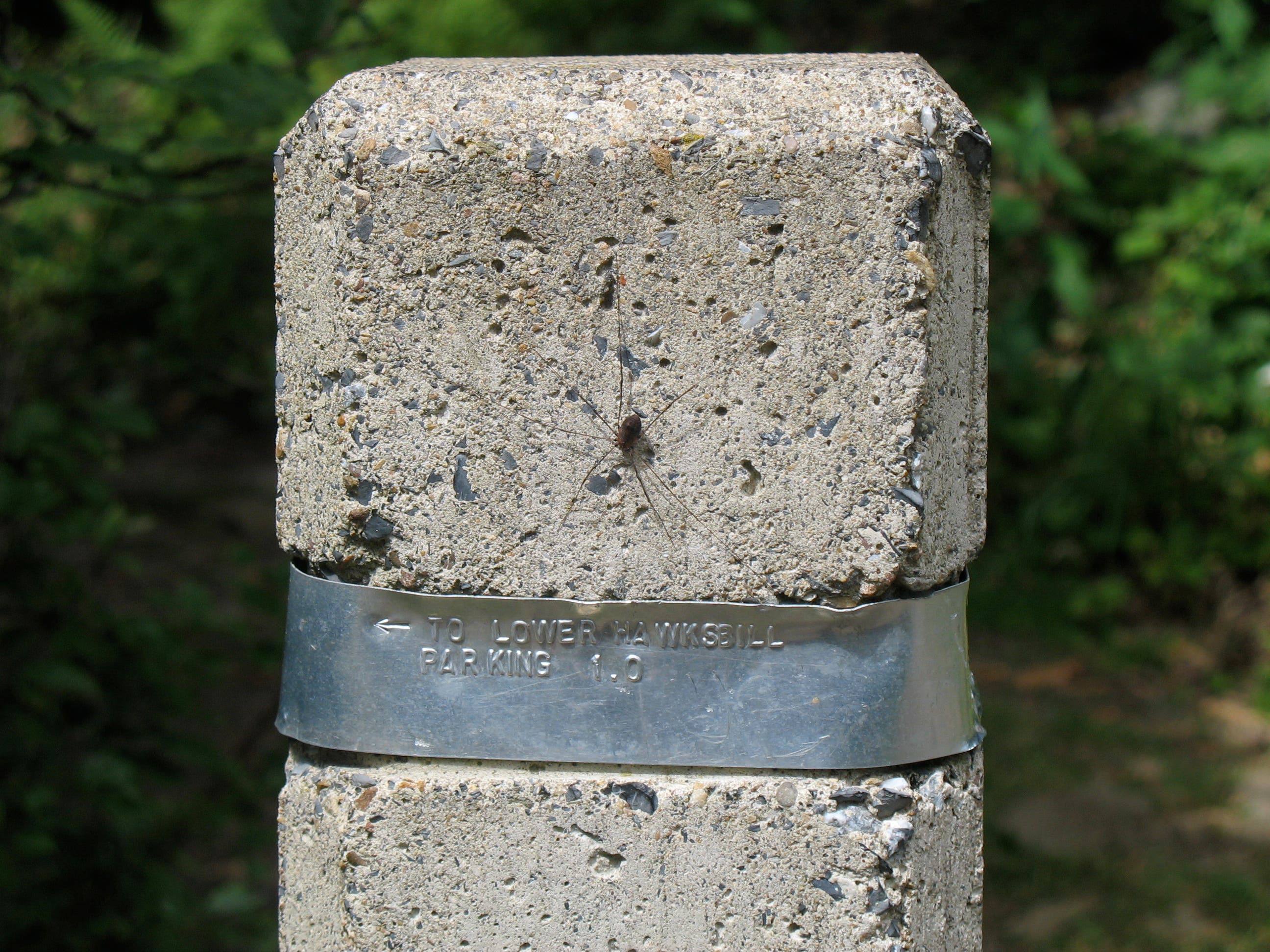
To save the summit for last, hike this loop in a counter-clockwise direction. Look for the silver-banded marker adjacent to the parking lot then jump on the short spur trail just north. It quickly leads to the AT.
(If steep descents are hard on your knees, clockwise may be preferable.)
HSL003
Location: 38.556987, -78.3870058
Turn left onto the white-blazed Appalachian Trail, heading south.
HSL004
Location: 38.5568194, -78.3926605
Cross first of three talus rock piles.
HSL005
Location: 38.5545524, -78.4033385
Signed junction for Salamander Trail and AT. Bear left to join the blue-blazed Salamander Trail which twists gradually toward the summit.
HSL006
Location: 38.5528379, -78.3994428
Pass “No Camping” sign.
HSL007
Location: 38.5536435, -78.3980482
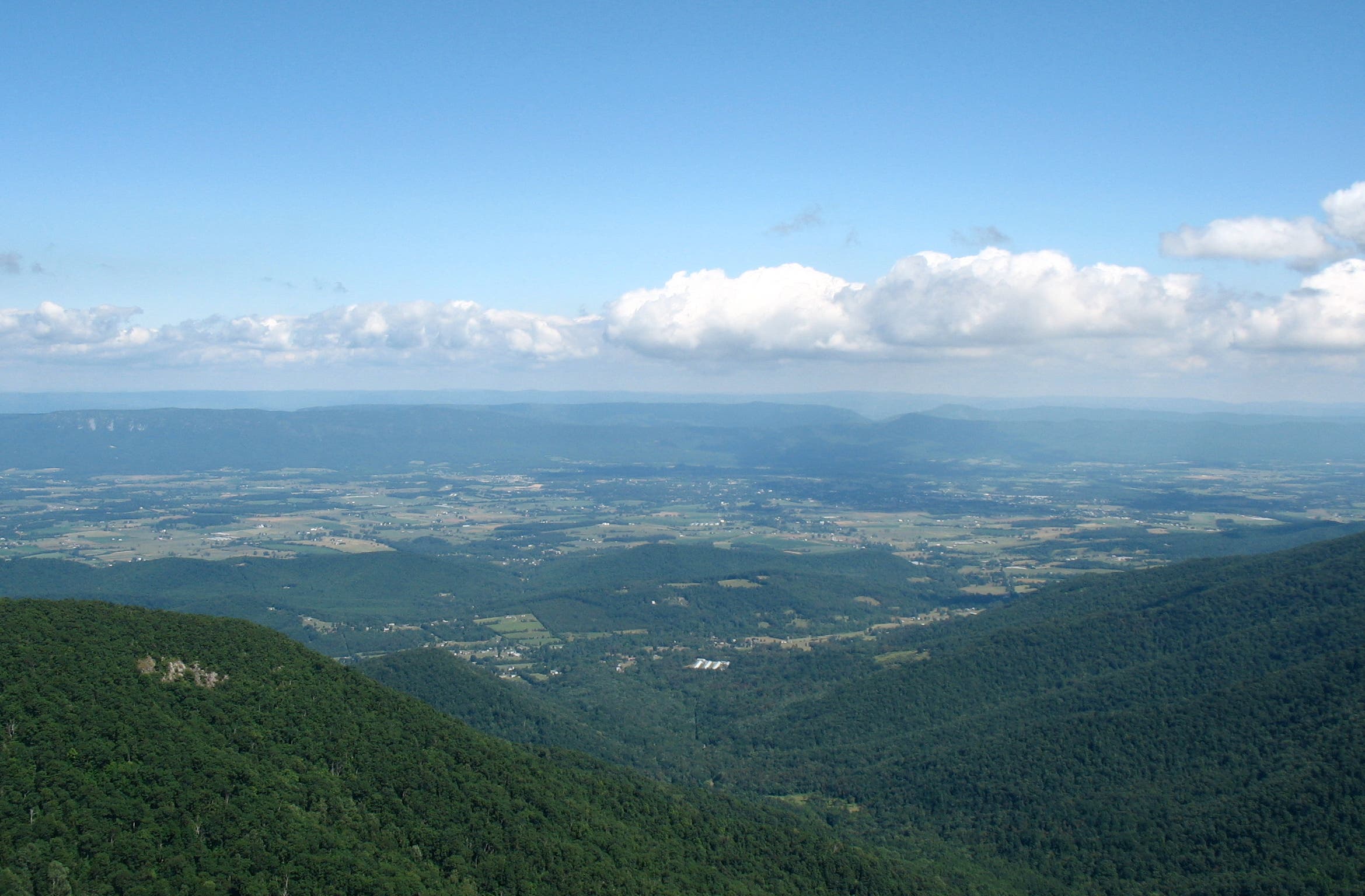
Fire road to summit comes into view on the right. Continue on the trail for broad views of Shenandoah Valley.
HSL008
Location: 38.5546298, -78.3973427
Sharp right.
HSL009
Location: 38.5545662, -78.3971146
Spur trail to summit now closed for peregrine falcon restoration efforts. Continue straight ahead to the fire road.
HSL010
Location: 38.5543484, -78.3967074
Turn left onto fire road.
HSL011
Location: 38.5547847, -78.3958703
Marked junction with Lower Hawksbill Trail, the return route. For the summit, walk left towards Byrd’s Nest Shelter No. 2, a covered shelter with information about peregrine restoration efforts.
HSL012
Location: 38.5553485, -78.3951051
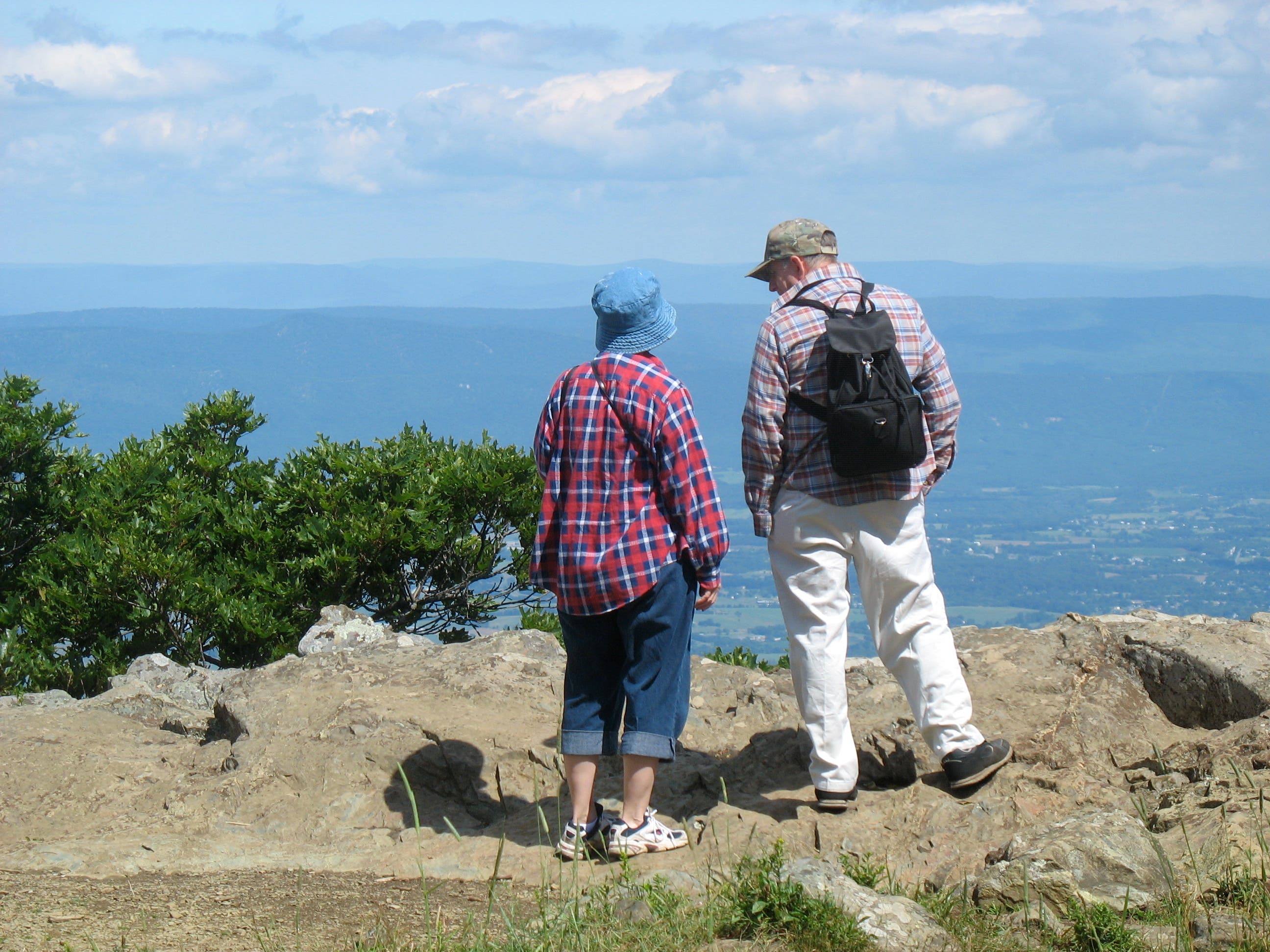
Reach stone viewing platform on Hawksbill summit. Can be cold and windy, even in July. Look for rocky-topped Old Rag to the east. To descend, return to Lower Hawkbill trailhead just past the shelter.
HSL013
Location: 38.5536295, -78.3951391
Pass second “No Camping” sign. The trail is gutted and gullied from past rain storms and can be fairly steep.
HSL014
Location: 38.556084, -78.3866822
Return to parking area.
Trail Marker
Location: 38.5563176, -78.3865705
Talus Field
Location: 38.5568194, -78.3926605
Mountain Flora
Location: 38.5568613, -78.3964295
Ridgeline View
Location: 38.5543137, -78.3981187
Trail Junction
Location: 38.5546833, -78.3959617
Approaching Hawksbill Summit
Location: 38.5551341, -78.3956601
Old Rag from Hawksbill Summit
Location: 38.5553183, -78.3950955
Northwest View from Summit
Location: 38.55535, -78.39511
Byrd’s Nest Shelter No. 2
Location: 38.55508, -78.3959
Foster Falcon Program
Location: 38.5550655, -78.3957802
View West from Shelter
Location: 38.555045, -78.3957585
Lower Hawksbill Trail Marker
Location: 38.55508, -78.3959