Sequoia National Park: Lone Pine Peak via Meysan Lake Trail

From Lone Pine Peak’s blocky granite summit, you’ll score pulpit-in-cathedral views of the jagged mountains of the Sierra, including a full third of California’s Fourteeners—and you’ll likely have those vistas all to yourself. Although visitors to the town of Lone Pine often gaze up at this peak towering 9,000 feet above the desert floor and mistake it for its taller and more famous neighbor (Mt. Whitney, the state’s highest), it sees a fraction of the traffic of the crowded Whitney Trail.
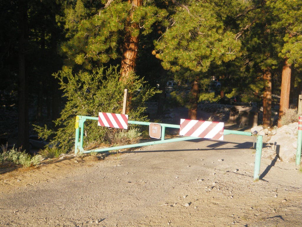
The Meysan Lake Trail starts right next door and will feel like the best-kept secret in the range as you climb steeply to campsites at Grass Lake. Pitch a tent here, just below the Northwest Slope route, your access to the 12,944-foot summit. From the Whitney Portal Road near the southern end of the Mt. Whitney Campground, walk down the emergency access road into the campground, and turn left at a small sign for “Meysan Lakes”.
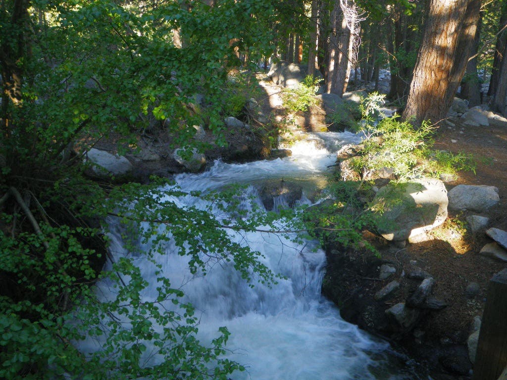
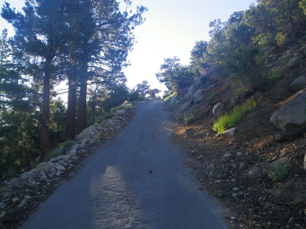
Follow the campground road south, cross a wooden bridge over Lone Pine Creek and continue to a T-intersection. (Note: This is your last chance for a covered restroom or a water tap.) Turn left and follow the paved road into the summer homes area for about 300 yards until you reach a “Y” in the road, veer right and follow the road another 300 yards up a steep incline.
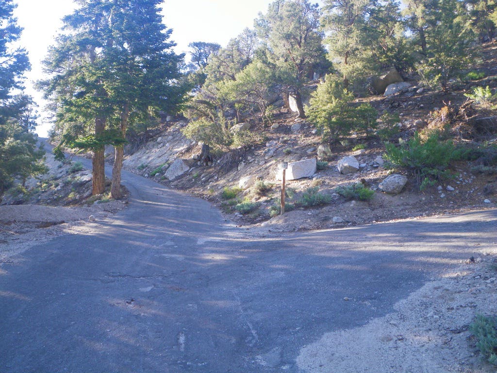
The top of this incline terminates at another T-intersection. Turn right, and follow the paved road for about 150 yards to where the road terminates at another T-intersection. A wooden “Foot Trail Meysan” sign on the opposite side of the road marks the start of the Meysan Lake Trail.
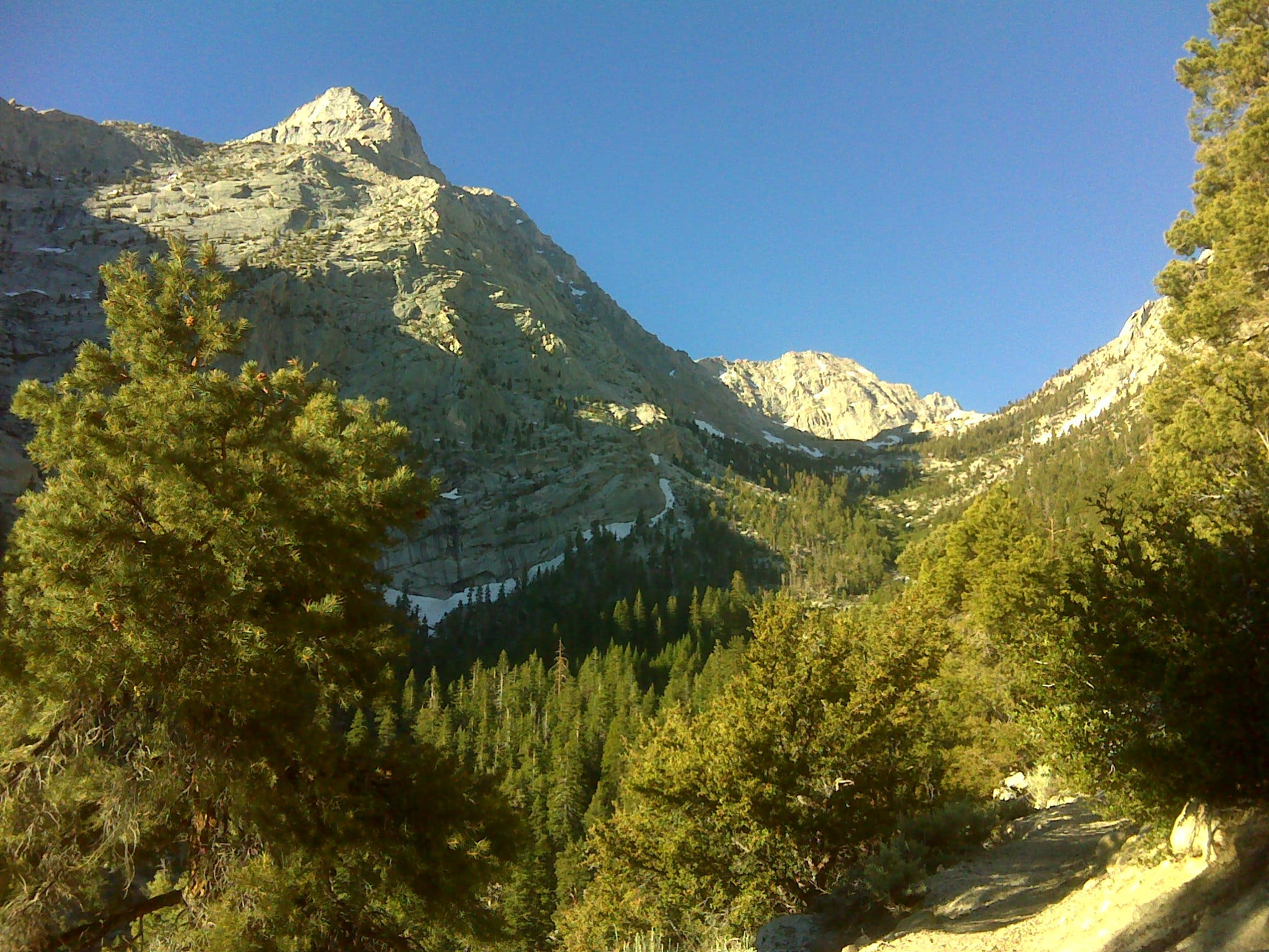
After leaving the trailhead, the route quickly gains elevation as it climbs past Jeffrey pine, pinyon pine and white fir, which is later replaced by foxtail and limber pine. Depending on time of year, the roar of Meysan Creek creates the soundtrack as you leave the forest and near Grass Lake. Shaded camping can be found around Grass Lake for the overnight traveler.
When Grass Lake comes into view, leave the trail and start a cross-country route, skirting the lake on its western shore. (Listen for the deep and booming hoots of the sooty grouse.) The granite blocks on the southern shore offer a great lunch stop while providing some of the best views of Mt. Irvine, Mt. Mallory, Mt. LeConte and Lone Pine Peak.
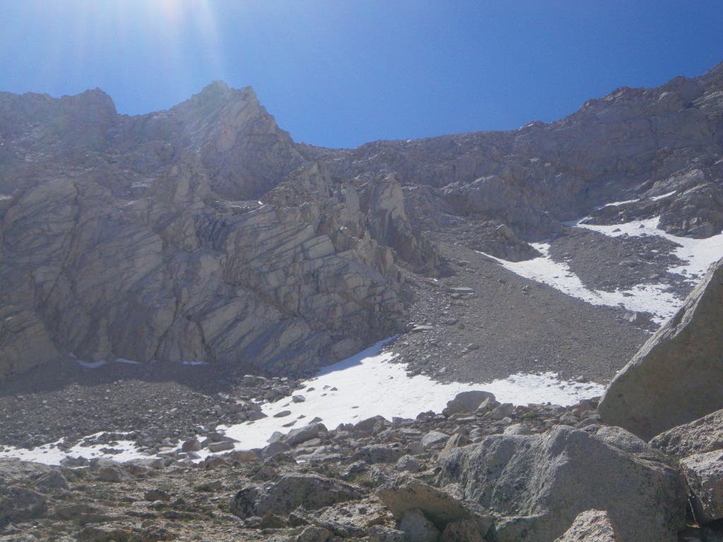
Climbing the wide chute to the southeast is the crux of this hike, gaining nearly 1,800 feet in just over half a mile. Most, if not all, of the troublesome scree and talus can be avoided by skirting the rock bands along the left edge of the chute. Once you gain the summit plateau, hike northeast 0.6 mile to the summit. To avoid the slew of false summits, stay low on the shoulder until the real summit comes into view.
GUIDEBOOK The High Sierra: Peaks, Passes, and Trails, by R.J. Secor ($33, mountaineersbooks.org)
PERMIT Required (free in person, $5 in advance, see Contact)
CONTACT Mt. Whitney Ranger District, (760) 876-6200; fs.usda.gov/inyonationalforest-home
SEASON Although Lone Pine Peak can be summited in all seasons, the best months for hiking are from June to October.
-Mapped by David Bosman “EnFuego”










Trail Facts
- Distance: 15.5
Waypoints
LON001
Location: 36.589689, -118.230121
From the Meysan Lake parking area, follow the campground road south, cross a wooden bridge over Lone Pine Creek, and continue to a T-intersection.
LON002
Location: 36.588362, -118.229434
Turn left and follow the paved road into the summer homes area for about 300 yards until you reach a “Y” in the road.
LON003
Location: 36.588948, -118.226817
Bear right and ascend the hill.
LON004
Location: 36.588496, -118.224054
At the top of the hill, turn right, and follow the paved road to where the road terminates at another T-intersection.
LON005
Location: 36.587938, -118.225406
Meysan Lake trailhead: After leaving the trailhead, the route quickly gains elevation as it climbs past Jeffrey pine, pinyon pine and white fir.
LON006
Location: 36.56241, -118.240807
Pass nice secluded camp spots among the trees and rocks.
LON007
Location: 36.561023, -118.241644
The views open up at tiny Grass Lake, nestled among pines and clean alpine granite. Find quality campsites here, under the imposing east face of Mt. Irvine. Next day: In the morning, with a predawn start to beat near daily afternoon thunderstorms, head south to the class 2 talus chute on the peak’s northwest side and climb it for 1,500 vertical feet.
LON008
Location: 36.555637, -118.234499
When the headwall eases, bear left toward the summit plateau.
LON009
Location: 36.556119, -118.232954
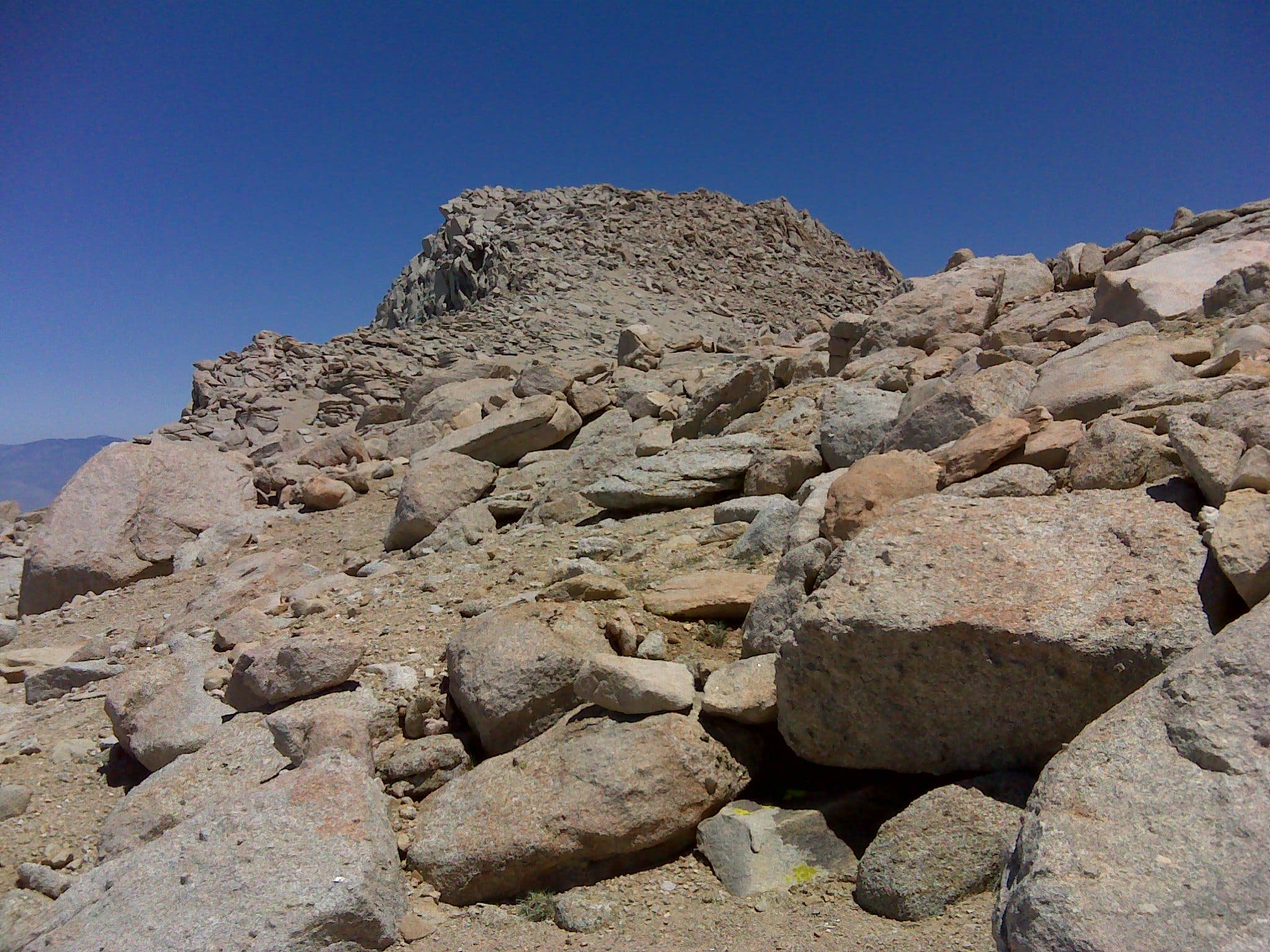
Bear left at the summit plateau and stay right to avoid the false summits on the ridge on the way to the top.
LON010
Location: 36.559239, -118.229091
Crest the first false summit.
LON011
Location: 36.56048, -118.22701
Crest the second and third false summits.
LON012
Location: 36.561859, -118.225937
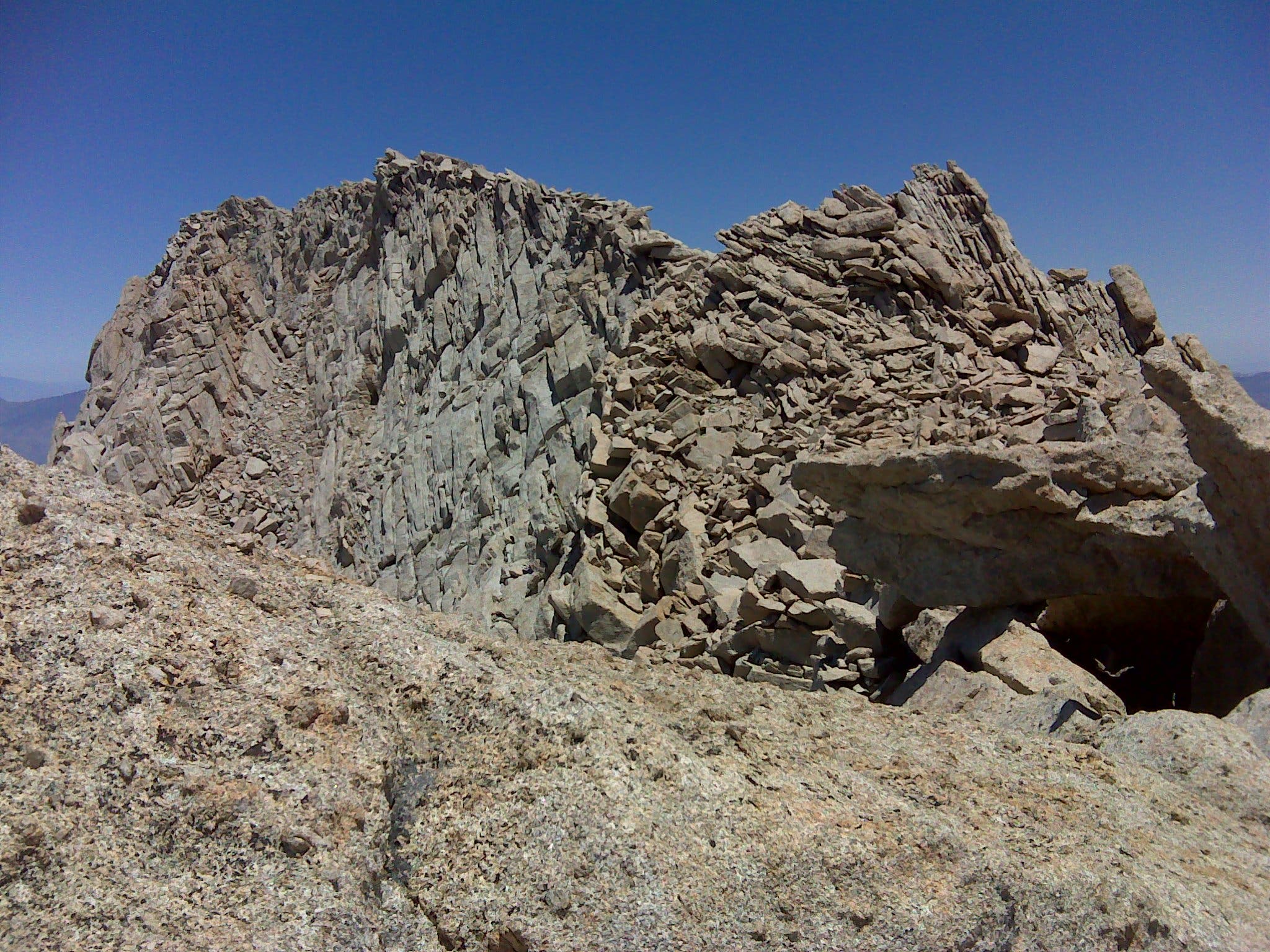
Lone Pine Peak (12,944 ft.): From this blocky granite summit, you’ll score pulpit-in-cathedral views of the jagged mountains of the Sierra, including a full third of California’s Fourteeners.
Grass Lake and Peak 3,986
Location: 36.561756, -118.241301
Emergency Access Gate
Location: 36.589723, -118.229842
Start your hike here at the locked emergency access gate.
Lone Pine Creek
Location: 36.588931, -118.229671
Footbridge over Lone Pine Creek
Steep Incline
Location: 36.588956, -118.226645
Head right at the Y and climb the steep incline.
Y-Junction
Location: 36.588508, -118.223909
Either way will lead to the trailhead, but the road on the right is shorter.
Trailhead
Location: 36.58794, -118.225347
Meysan Lake trailhead
Snow Plant
Location: 36.587582, -118.224183
Lone Pine Peak
Location: 36.584037, -118.22583
Lone Pine Peak rises left of center.
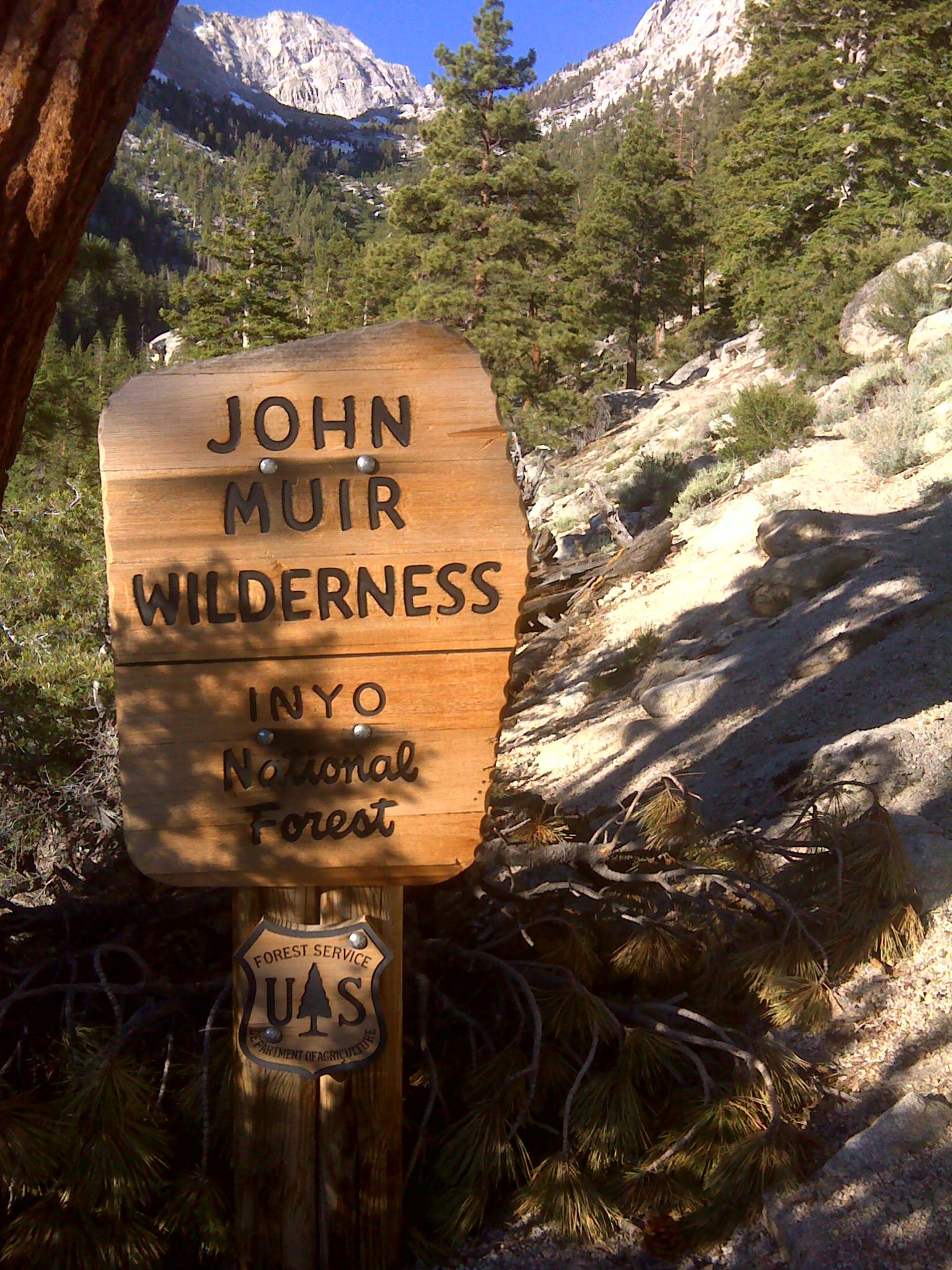
John Muir Wilderness
Location: 36.582676, -118.226892
Overnight permits required beyond this point.
Sierra Wildflower
Location: 36.581651, -118.228608
Indian Paintbrush
Location: 36.579902, -118.229477
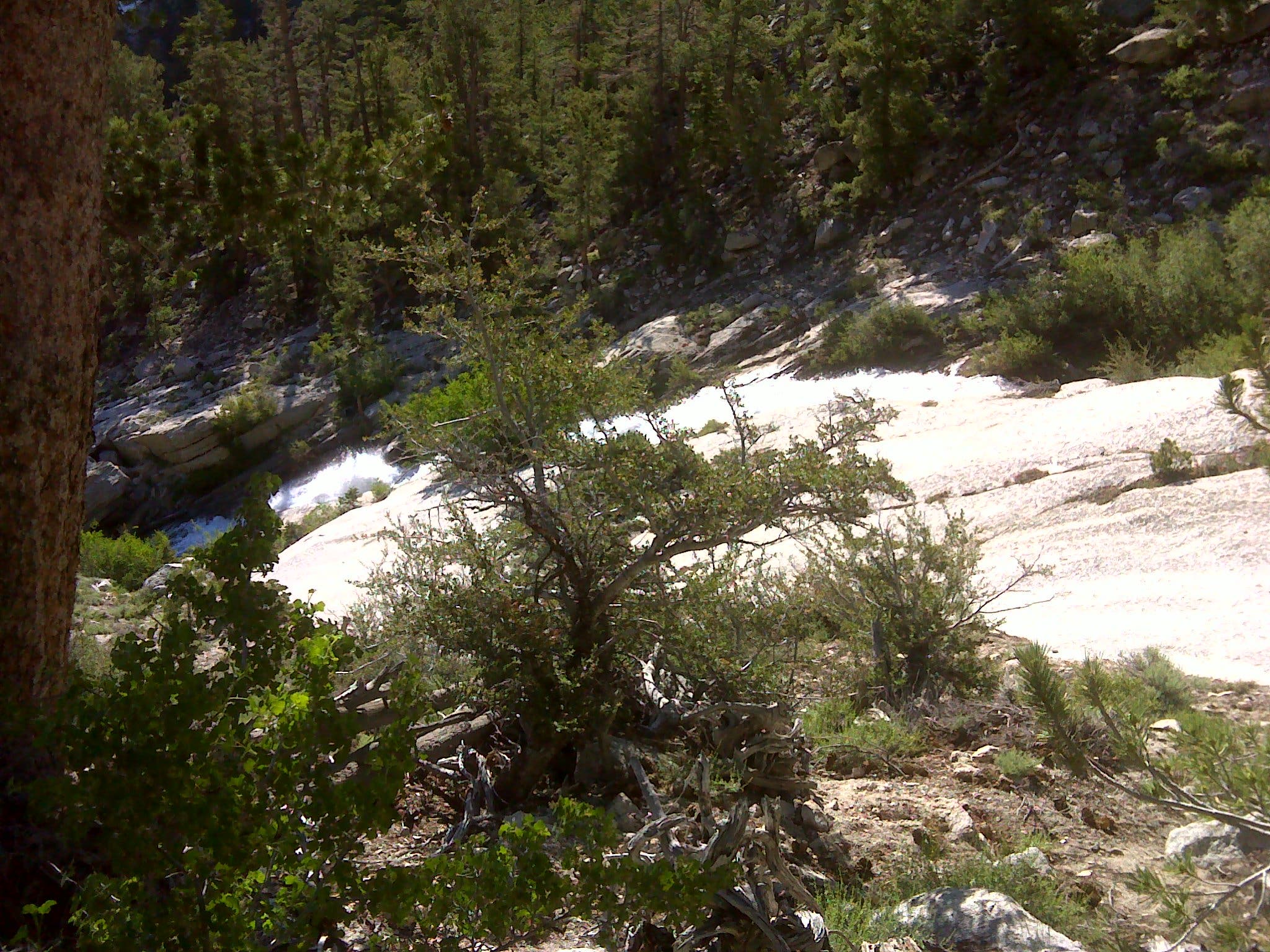
Meysan Creek
Location: 36.576206, -118.231119
Your first close encounter with Meysan Creek.
Campsite
Location: 36.569431, -118.235066
First possible location for overnight camping at approximate mile 2.5
Sierra Shooting Star
Location: 36.568684, -118.236709
Approaching Meysen Lakes Basin
Location: 36.56615, -118.239348
Mt. Mallory from Grass Lake
Location: 36.563661, -118.240112
Corn Lily
Location: 36.561463, -118.241429
Talus and Scree Slope
Location: 36.559187, -118.241858
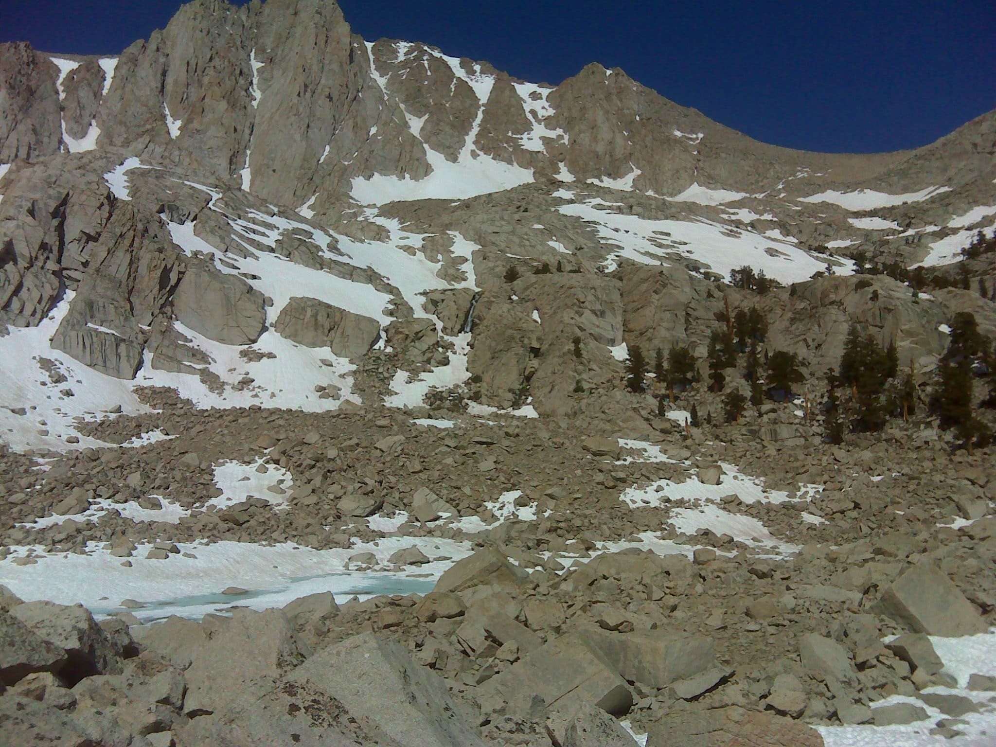
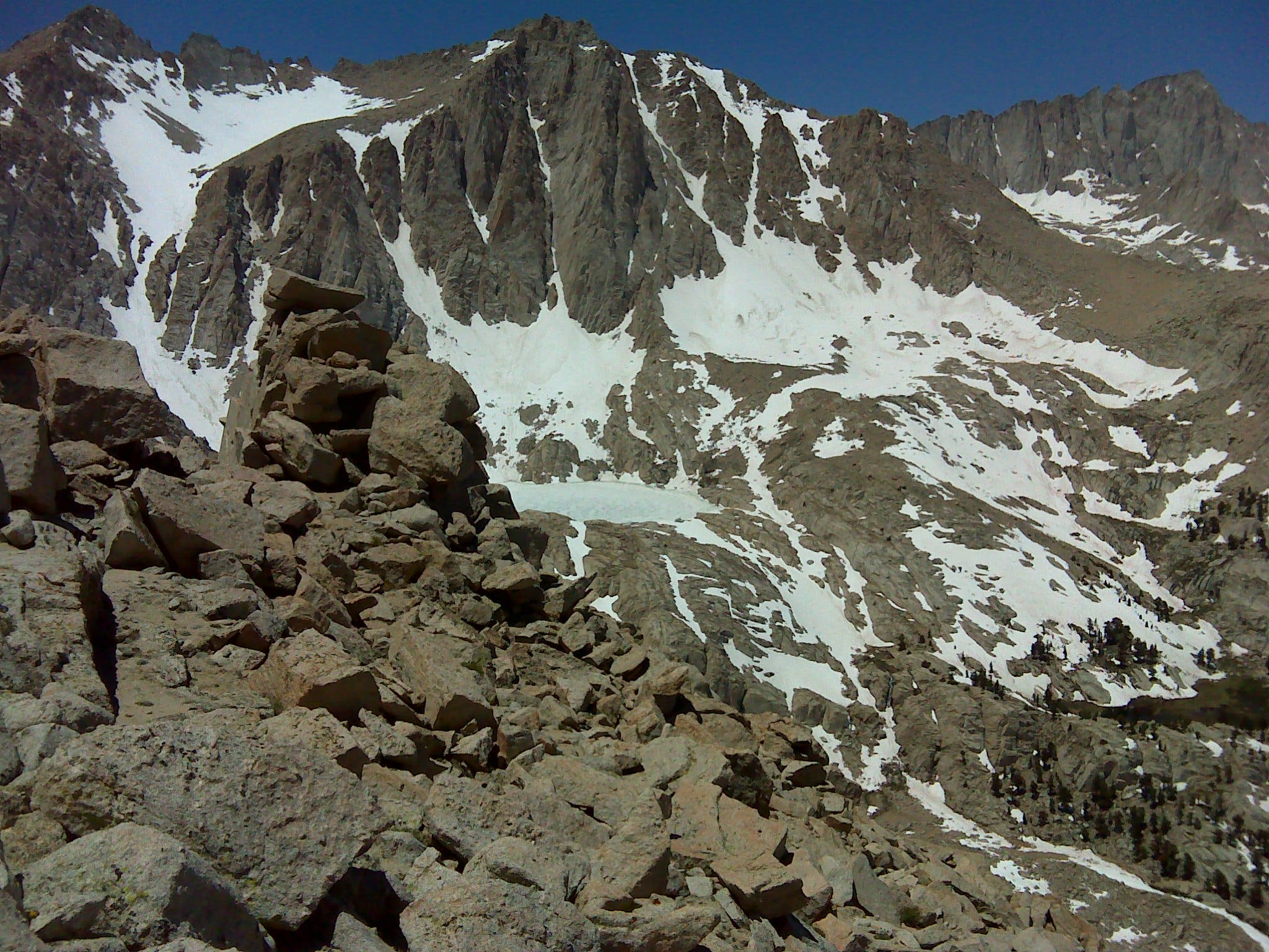
Mt. Irvine and a glacial tarn
Location: 36.558037, -118.240574
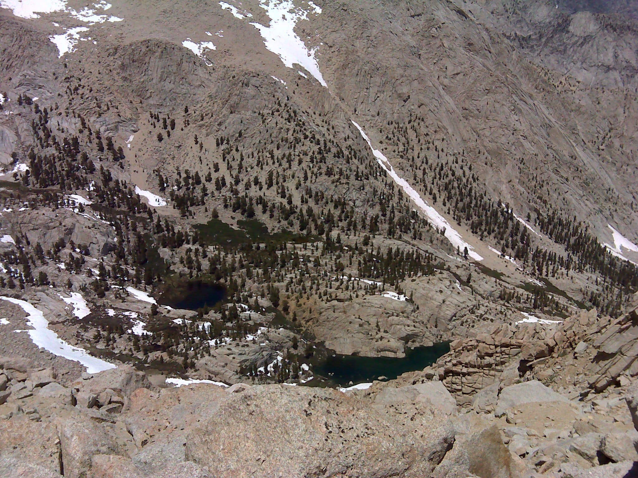
Grass Lake (left) and Peanut Lake
Location: 36.556361, -118.238294
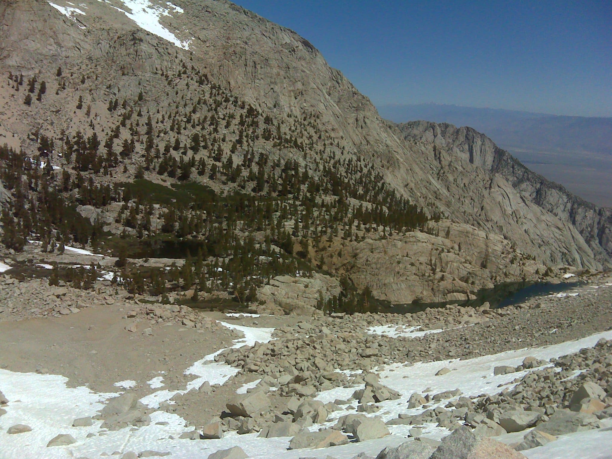
Looking back on Grass Lake (left) and Peanut Lake (right) from bottom of gully.
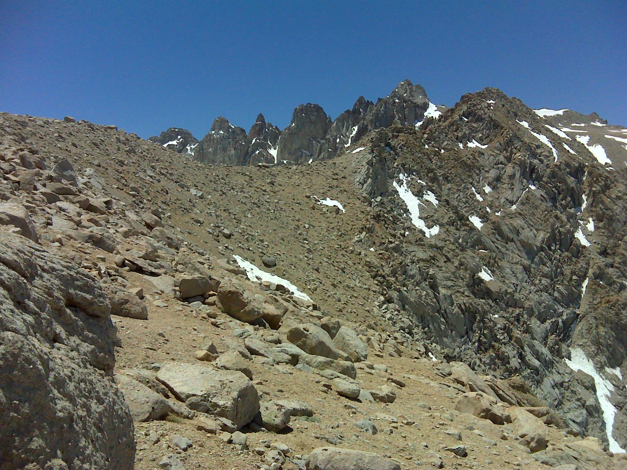
Rocky Chute
Location: 36.555482, -118.237309
Looking up the final third of the gully.
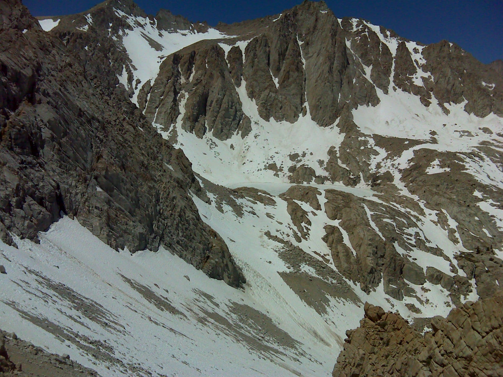
Meysan Lake and Mt. Irvine
Location: 36.55537, -118.235893
Sky Pilots
Location: 36.555456, -118.23526
Sky Pilots at 12,000 feet
Grass Lake (left), Peanut Lake, and the Meysan Valley
Location: 36.555706, -118.234273
Mt. Irvine (left) and Mt. Whitney
Location: 36.555783, -118.233994
Mt. Irvine (left) and the highest point in the continental U.S., Mt Whitney (right), from the saddle.
Mt. LeConte and Mt. Corcoran
Location: 36.556223, -118.232718
Views to the west from the top of the chute
False Summit
Location: 36.556266, -118.232621
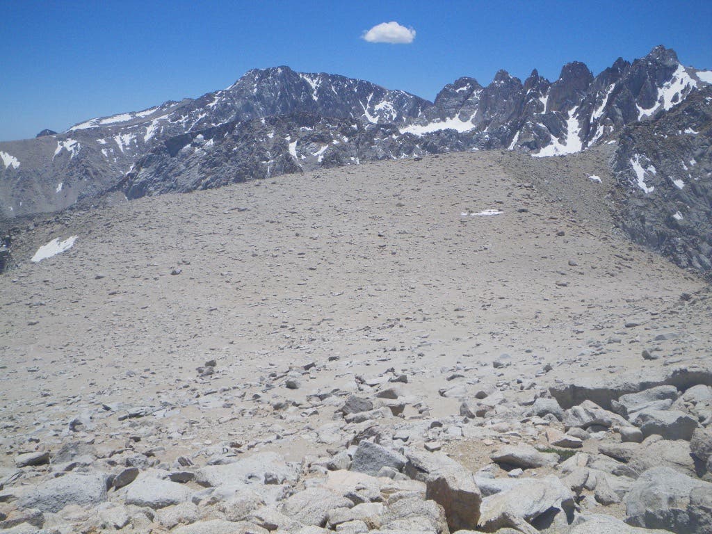
The first of several false summits viewed from the top of the gully.
Keeler Needle, Mt. Whitney, and Mt. Russell
Location: 36.557619, -118.231494
False Summits
Location: 36.559336, -118.228828
False summits #2 and #3. Lone Pine Peak rises on the far left.
Sierra Primrose
Location: 36.559791, -118.227611
Beauty survives in the early season on the barren saddle.
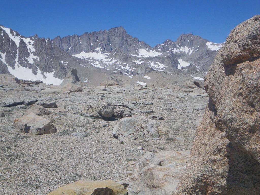
Mt. Corcoran and Mt. LeConte
Location: 36.560032, -118.227375
Looking west to Mt. Corcoran (left) and Mt. LeConte
Summit Register
Location: 36.561855, -118.225891
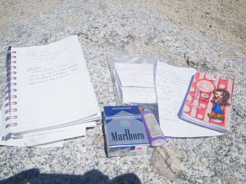
The summit register is found in the ammo box located just below the summit blocks.
Contents of Summit Register
Location: 36.561878, -118.225897
Care for a smoke?
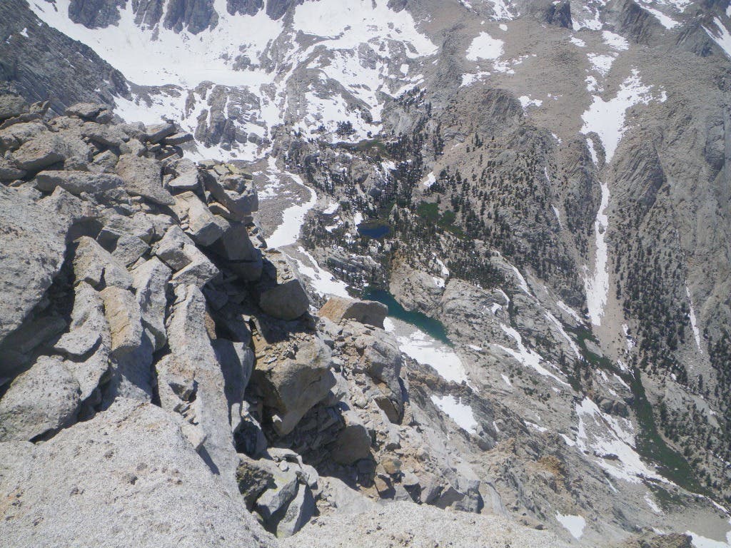
Summit Views of Grass Lake and Peanut Lake
Location: 36.561885, -118.225937