Seattle, WA: Sunset Mine

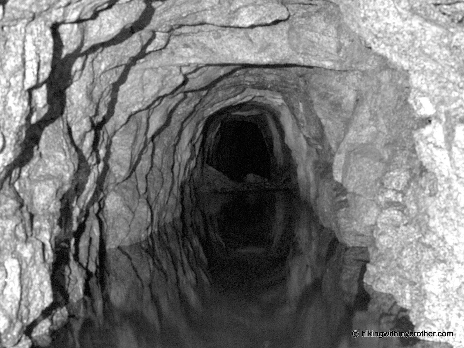
Tromping around Sunset Mine is more a stroll through history than it is a hike, but what it lacks in distance it more than makes up for in the fun of investigating the old mines. Two large stopes—underground openings left after minerals have been extracted—are the principal attraction here. Mostly collapsed, they only advance about 200 feet. They are located up the hillside from the old mill area, and can be accessed by the many bootpaths that riddle the area. Besides the cavernous stopes, there are a couple of adit openings that are filled with water and mostly collapsed that merit a peek.
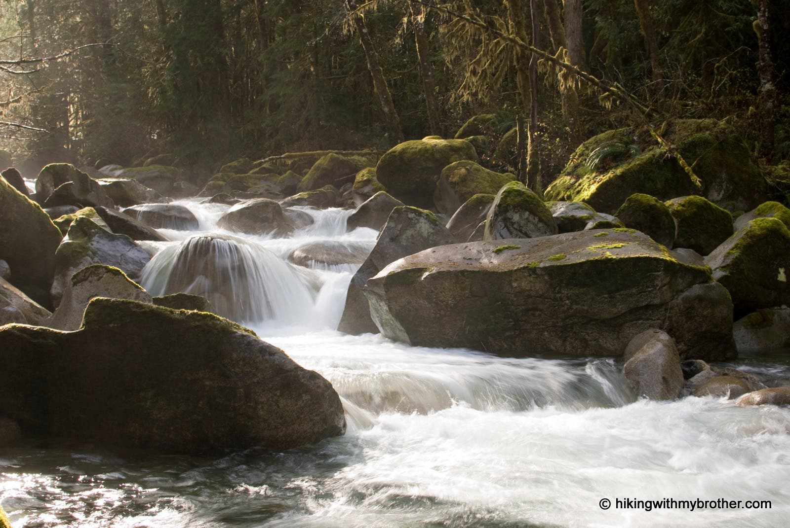
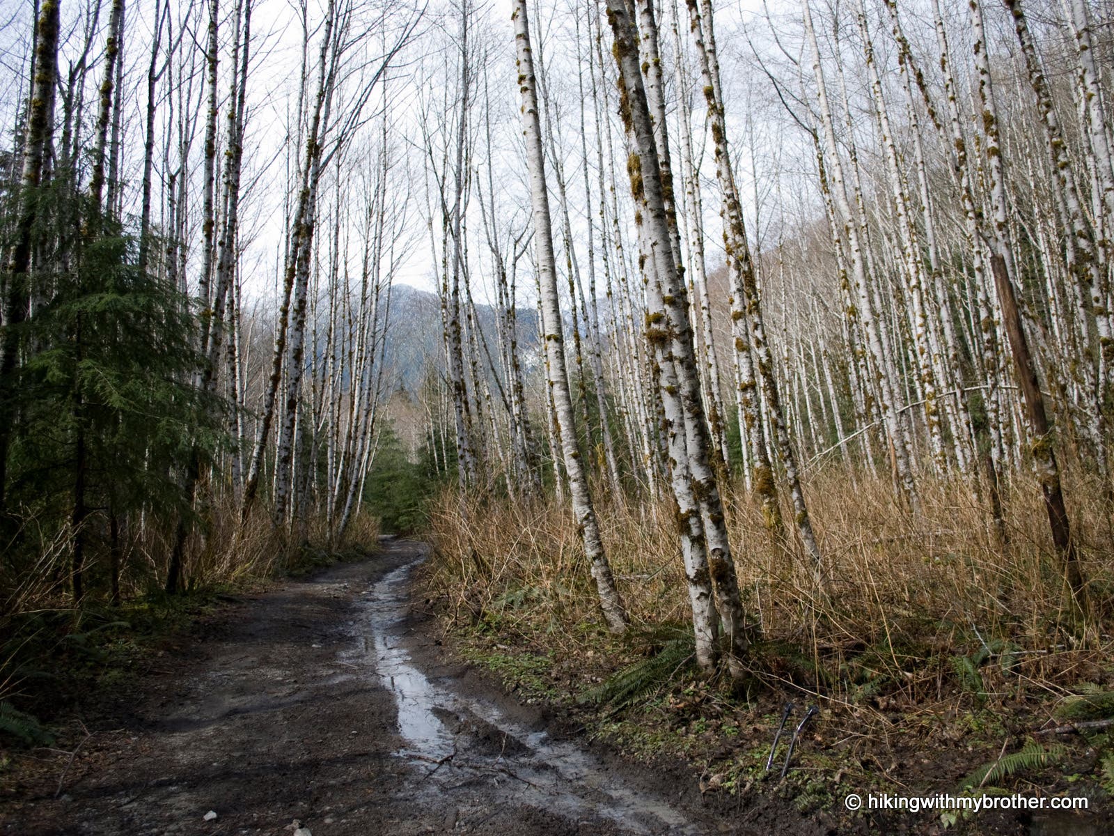
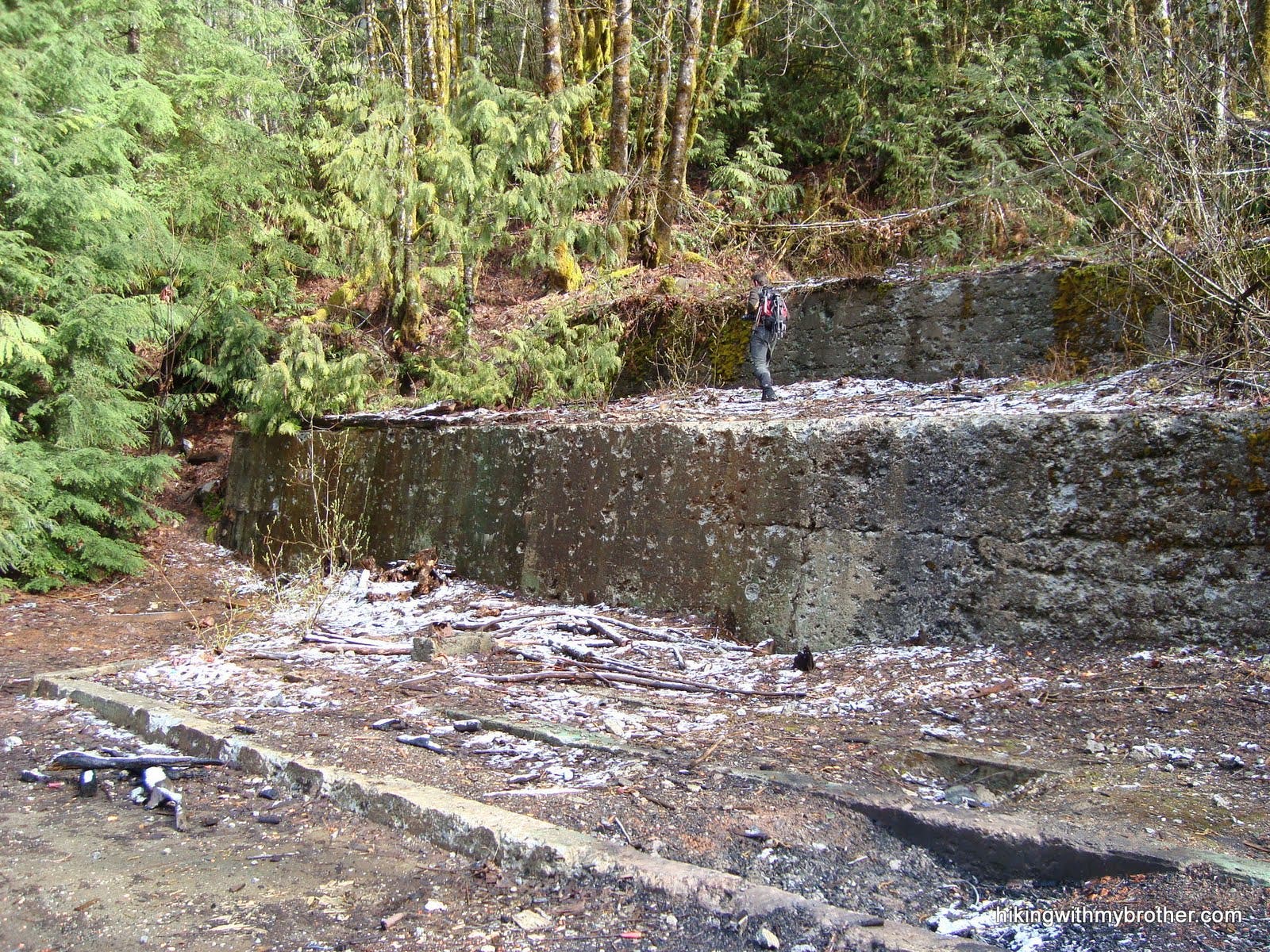
The trail, old roadbed, starts just east of the Trout Creek crossing. Follow the road up the valley, paralleling Trout Creek, for 1.5 miles to the terraced stone remains of the old mill site. Continue onward, past a collapsed and flooded adit, and leave the road onto a boot trail heading uphill to the left. Fork right at a junction, passing another adit, to arrive at Stope #1. Explore at your own risk. Continue past another adit, keeping a careful eye out for the ventilation shaft—a 150′ drop to the bottom!— near the next stope. The route then loops back to the previous junction.
All mining tunnels and openings should be approached with extreme caution. Most of the wooden beams and platforms are extremely unstable.
Mapped by Nathan & Jeremy Barnes Hiking With My Brother
Trail Facts
- Distance: 3.2
Waypoints
SSM001
Location: 47.862967, -121.484713
Pass thru gate and proceed up old mining road.
SSM002
Location: 47.857257, -121.46511
Terraced stonework of old mill site.
SSM003
Location: 47.856871, -121.464008
Collapsed adit #1.
SSM004
Location: 47.856262, -121.463013
Leave road, turning left uphill on boot path.
SSM005
Location: 47.856245, -121.461656
Trail fork; veer right.
SSM006
Location: 47.85682, -121.4615
Adit #2.
SSM007
Location: 47.857354, -121.460845
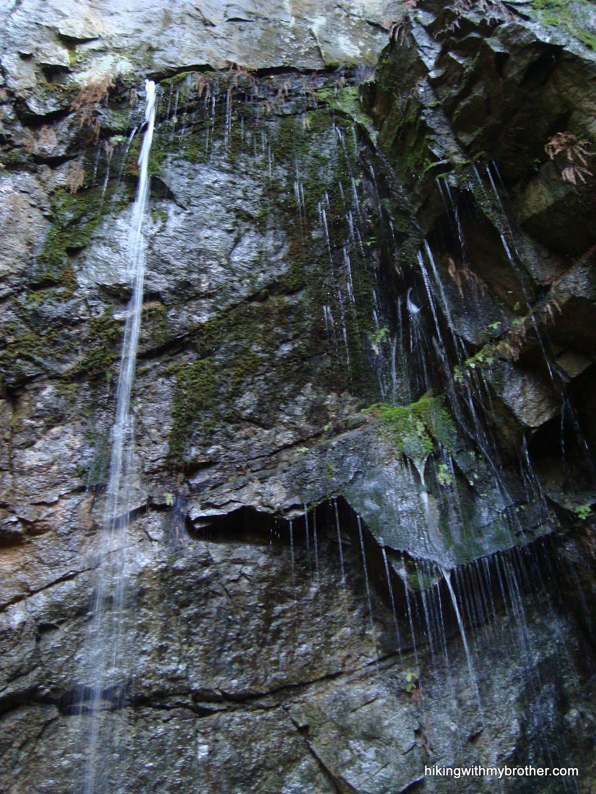
The ceiling collapsed to expose stope #1, which is a large open pit. A three tiered wooden platform is still present. ENTER AT YOUR OWN RISK. The area is unstable, and many life threatening hazards exist.
SSM008
Location: 47.858245, -121.462736
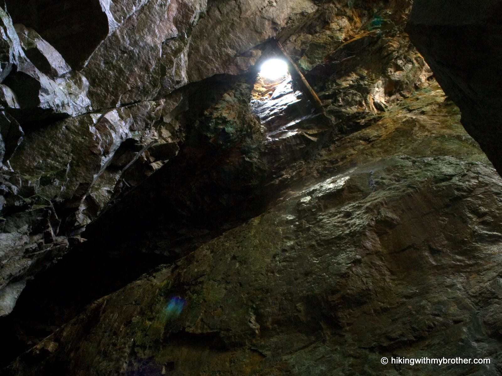
This ventilation hole drops 150ft to the bottom of stope #11
SSM009
Location: 47.858379, -121.463102
Stope #11 is another open pit. Look up to see the ventilation hole in the ceiling. ENTER AT YOUR OWN RISK. The area is unstable, and many life threatening hazards exist.
SSM010
Location: 47.85803, -121.46267
Adit #3 is collapsed. A pile of large boulders blocks the entrance.
Trout Creek
Location: 47.86106, -121.486173
Road and Alders
Location: 47.859159, -121.469972
Old Mill
Location: 47.857201, -121.465123
Adit #1
Location: 47.856834, -121.4614
Filled Passage
Location: 47.856834, -121.461389
Stope #1
Location: 47.857338, -121.460751
Waterlogged
Location: 47.857396, -121.460912
Stope #11
Location: 47.85836, -121.463004
Ventilation
Location: 47.858296, -121.462832
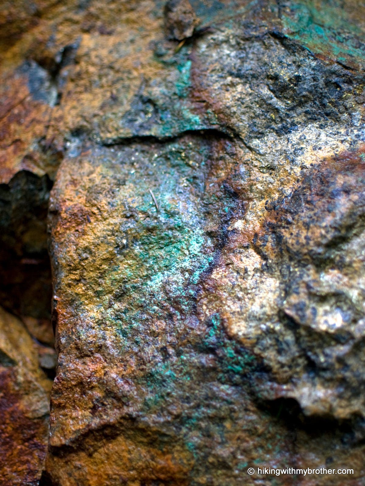
Minerals
Location: 47.85836, -121.463143