Seattle, WA: South Bessemer Mountain

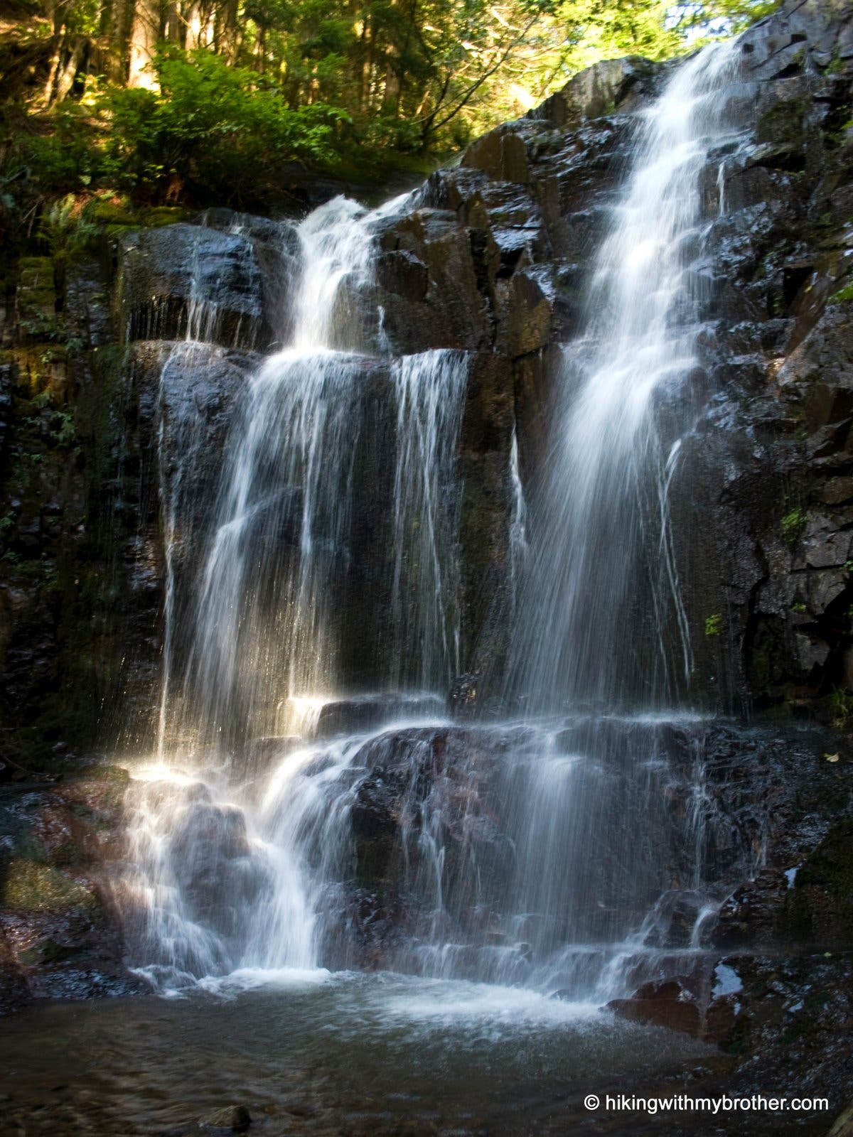
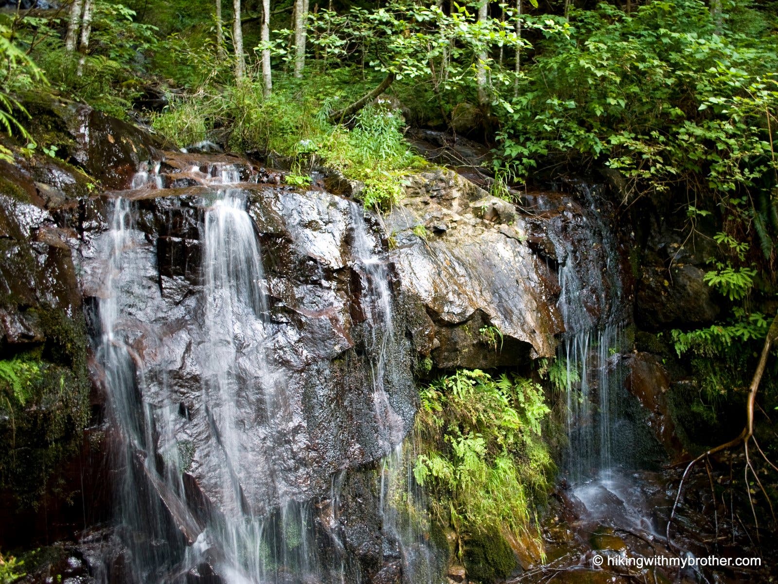
The 6.5-mile climb to South Bessemer Mountain follows a network of logging roads for a challenging—and lightly traveled—hike tk minutes from Seattle. The route begins with a gentle climb on a gated logging road. At mile 1.1, merge onto the unsigned CCC Trail and cross Big Blowout Creek. From here, the route switchbacks through young forest and passes a quarry. Just beyond the quarry, at the end of the next switchback, hikers can scramble down to the Big Blowout creekbed for a short, off-trail side trip to a 50-foot waterfall.
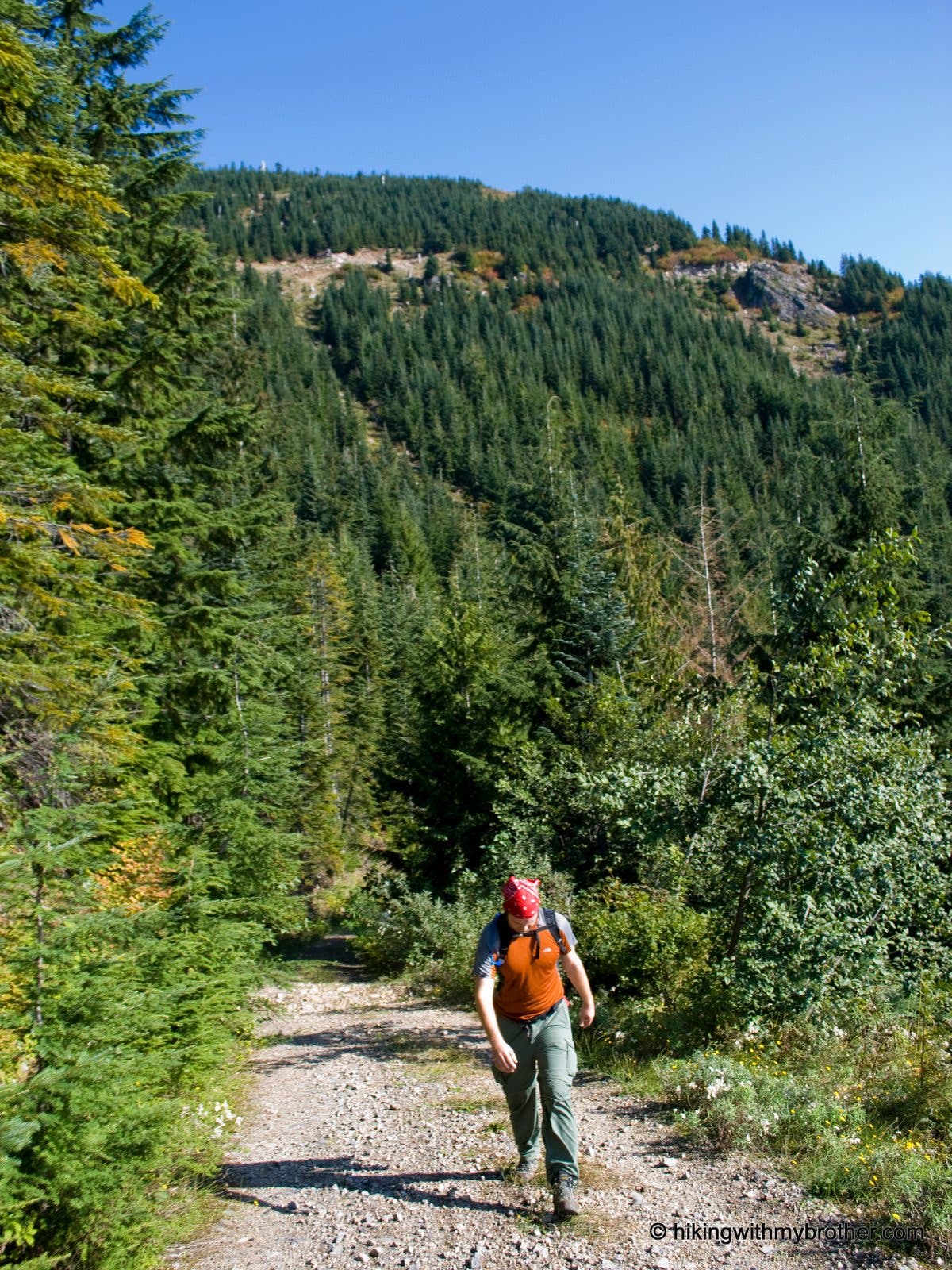
After backtracking to the logging road, head northeast to continue the climb on the steep and gravelly road. At mile 5.2, the road enters a young forest with views of Russian Butte and the Pratt River Valley. Catch your breath here and prepare for the last mile of the climb, which follows a run-down road covered with rocks and boulders.
Crest the 5,028-foot summit of South Bessemer at mile 6.5. Rising nearly a thousand feet higher than nearby Mt. Si, this peak offers far-reaching views of Seattle’s and Bellevue’s skyscrapers, Green Mountain, Rattlesnake, Cedar Butte, Mt. Washington and Mailbox. In the far distance, the snow-covered Cascade peaks—including Rainer—break up the skyline. Follow the same route back to the trailhead.
-Mapped by Nathan and Jeremy Barnes, hikingwithmybrother.com
Trail Facts
- Distance: 20.9
- Miles from city center: 41
Waypoints
BM001
Location: 47.516092, -121.612837
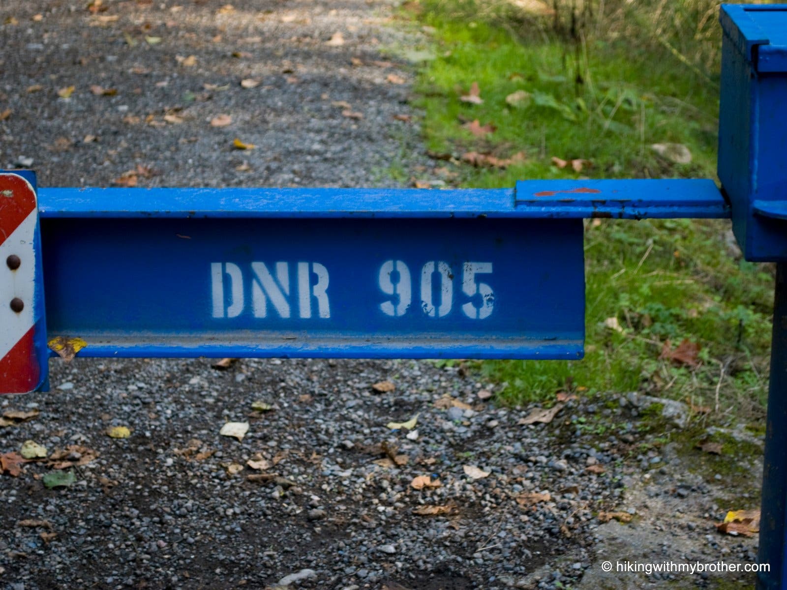
The route starts at the blue DNR 905 gate. Hike north from here.
BM002
Location: 47.527344, -121.626227
Turn right on the main road at the junction with CCC Road.
BM003
Location: 47.527503, -121.619661
Bear left at the junction with the CCC Trail and begin a switchback climb.
BM004
Location: 47.530003, -121.624403
Pass the Wisdom Earthworks rock quarry.
BM005
Location: 47.531531, -121.627858
At the switchback, scramble down to the creek and cross it. Follow it downstream to where a 50-foot waterfall pours into a large pool nestled beneath high rock walls of rock. Caution: Rocks are slick.
BM006
Location: 47.538992, -121.614565
The road crosses a creek. Through the foliage, water can be seen crashing down the hillside
BM007
Location: 47.540701, -121.61626
Bear right at the road junction.
BM008
Location: 47.54488, -121.615691
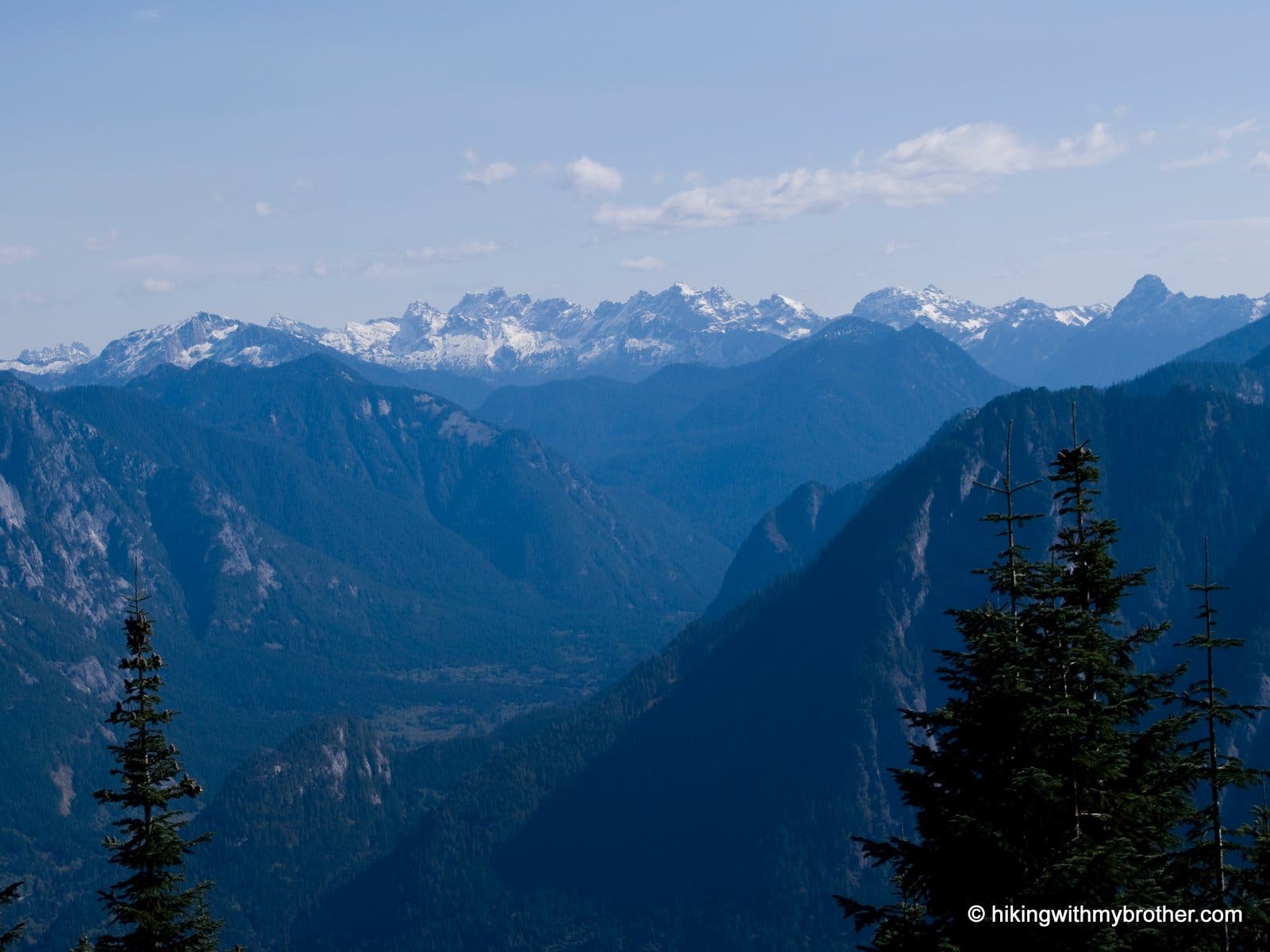
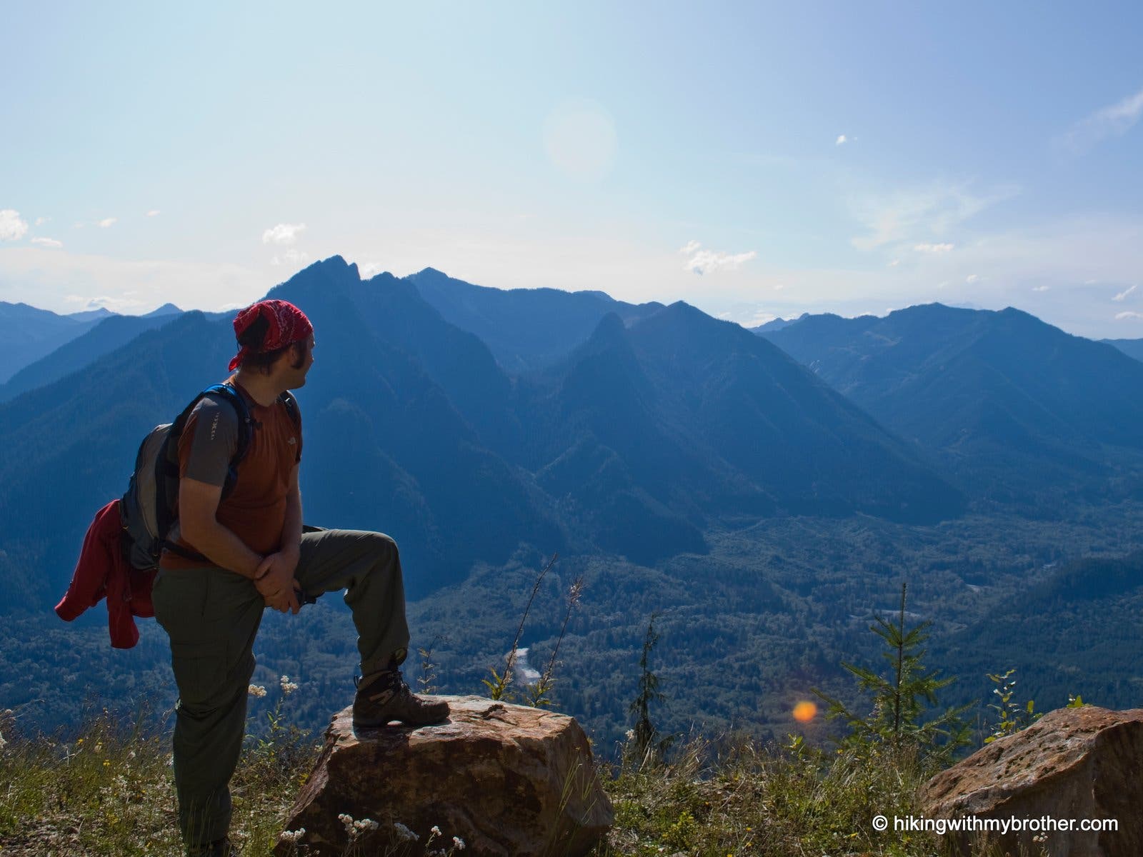
The forest clears and exposes a stunning view of the Pratt and Middle Fork Snoqualmie River valleys. Russian Butte looms straight ahead. The rocks at this view point make it an excellent place to take a break.
BM009
Location: 47.545771, -121.617547
Road junction. Turn right to continue to the top. Note: A few yards up the road to the left is a small saddle in the ridge with some obscured views.
BM010
Location: 47.546596, -121.608921
Keep left at the road junction, heading west.
BM011
Location: 47.54985, -121.614087
The 5,028-foot summit of South Bessemer overlooks Stegosaurus Butte and the snow-capped Mt. Daniel. Follow the same route back to the trailhead.
Summit Views
Location: 47.549857, -121.614047
Looking east, Stegosaurus Butte sits at the bend of Middle Fork Snoqualmie River. The freshly frosted peaks of Mt. Daniel are in the distance.
Road Begins
Location: 47.516121, -121.612655
Start at the Blue DNR 905 gate.
Unnamed Falls on Unnamed Creek
Location: 47.531256, -121.628351
A 50-foot unnamed waterfall is located just off the road. Use caution, the rocks are very slick.
Misty Light
Location: 47.531068, -121.62833
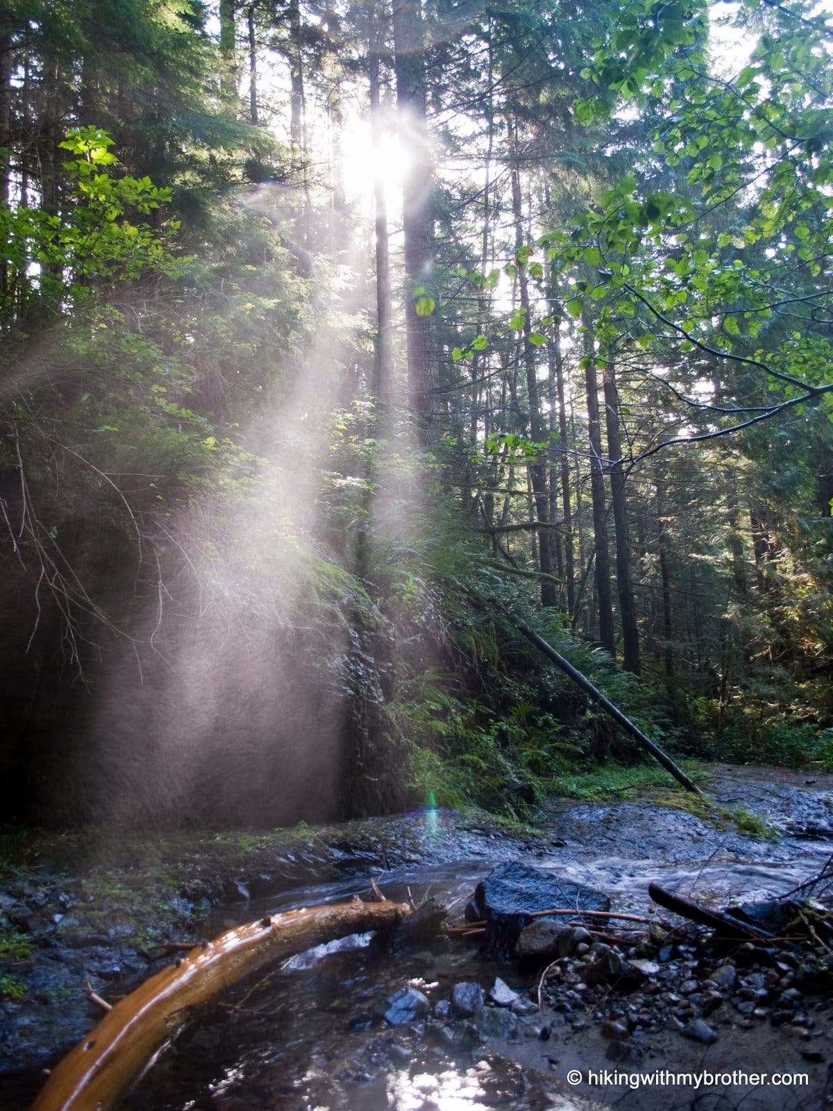
Mist from the waterfall mingles with sunlight.
Big Blowout Falls
Location: 47.533516, -121.622933
The lower portion of the unofficially named “Big Blowout Falls.”
Road Up
Location: 47.543055, -121.616142
On the road, ascending the mountain.
River Valley
Location: 47.544887, -121.615541
Taking in the view of Middle Fork Snoqualmie River valley
Black Bears
Location: 47.549678, -121.613808
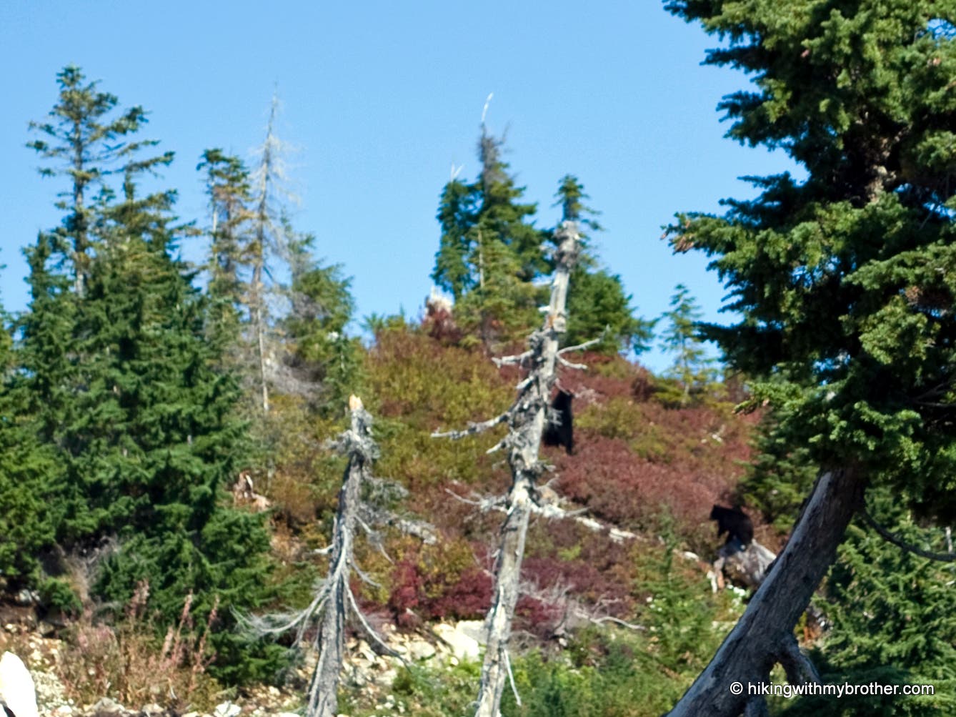
Visible from a far distance, a mother black bear and cub scamper away as hikers approach.
South Bessemer Mountain
Location: 47.549833, -121.614042
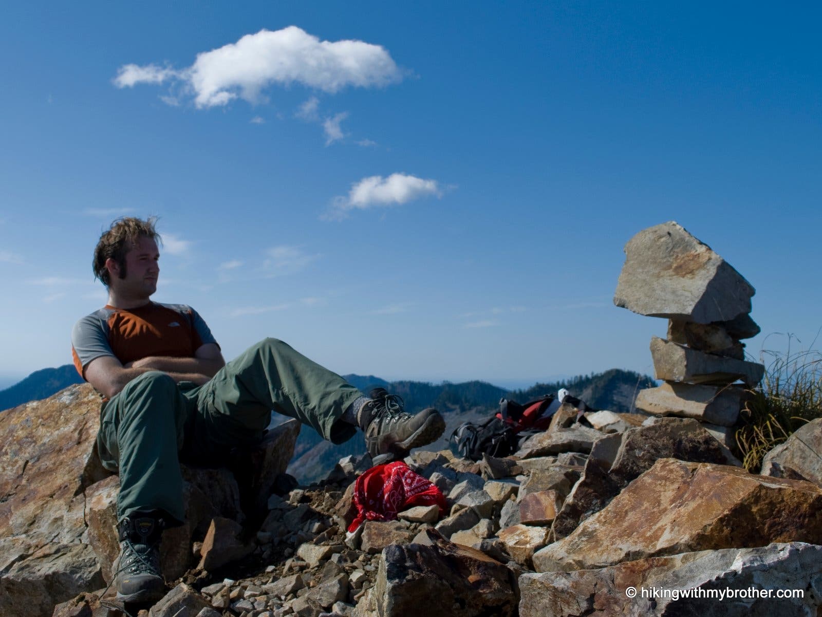
Hiker takes a well earned break at the summit of South Bessemer Mountain.