Seattle, WA: Snoqualmie Mountain Trail

You have to earn the views on this 3-mile out-and-back, but Mt. Ranier in the distance makes the thigh-burning incline worth the work.
Snoqualmie Mountain quietly rises above the rest of the Snoqualmie Pass peaks, clocking in at 6,278 feet. Because the mountain sits somewhat back from the freeway–and its broad, somewhat rounded slopes do not cut a dramatic profile–most people cannot identify the tallest peak in the Pass.
Snoqualmie Mountain and the surrounding area were already abuzz with activity by the time a USGS survey led by Albert H. Sylvester made the first recorded summit climb in 1898. Today, the trail remains unofficial, carrying all of the challenges that come along with that honor.
The trail begins a few feet from the Snow Lake #1012 trailhead, up an unsigned dirt road. Keep an eye out for a small side trail branching to the right, about a tenth of a mile up the road. If you reach a shed, you’ve gone too far.
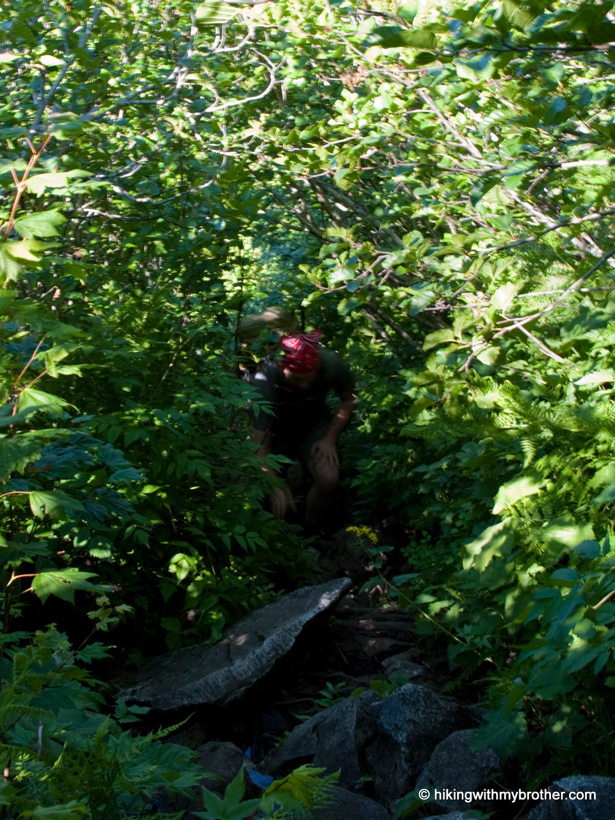
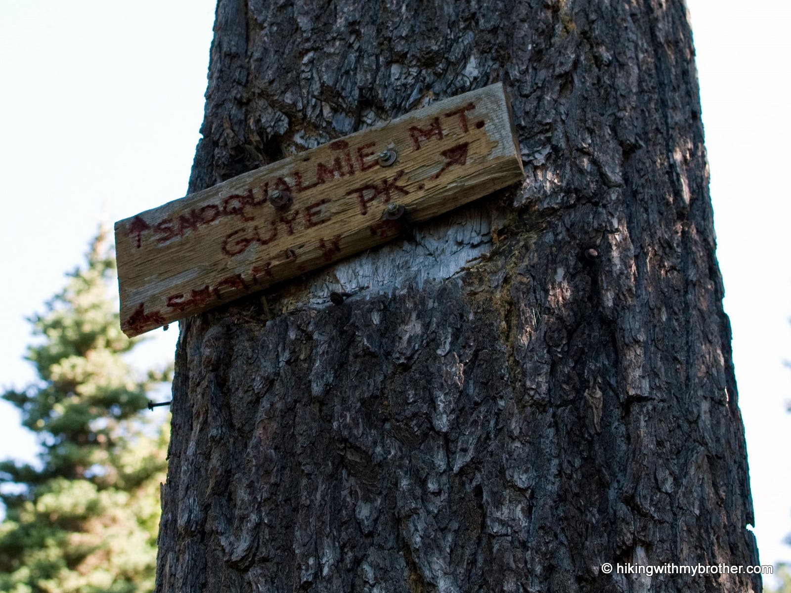
Once on the narrow trail, be prepared for a rough ride. The route takes advantage of rocky streambeds, cuts through groves of encroaching alder, climbs over talus fields and up ridges of loose rock. Fortunately, vegetation is close by to steady your balance. After about a mile, a signed junction in a talus field marks the routes to Snoqualmie Mountain and Guye Peak. Veer left over the rocks for Snoqualmie Mountain.
When you’re not watching the ground for obstacles, catch occasional pocket views of the ski slopes of Alpental and Snoqualmie Pass. The vegetation rapidly changes from lowland underbrush to mountain forest and finally to sparse alpine wildflowers and trees. The transition to the open air roughly marks the half-way point. From here, the trail switchbacks up the exposed ridge to the summit. A few patches of trees offer relief from the sun, but expect a hot and dusty trudge to the top.
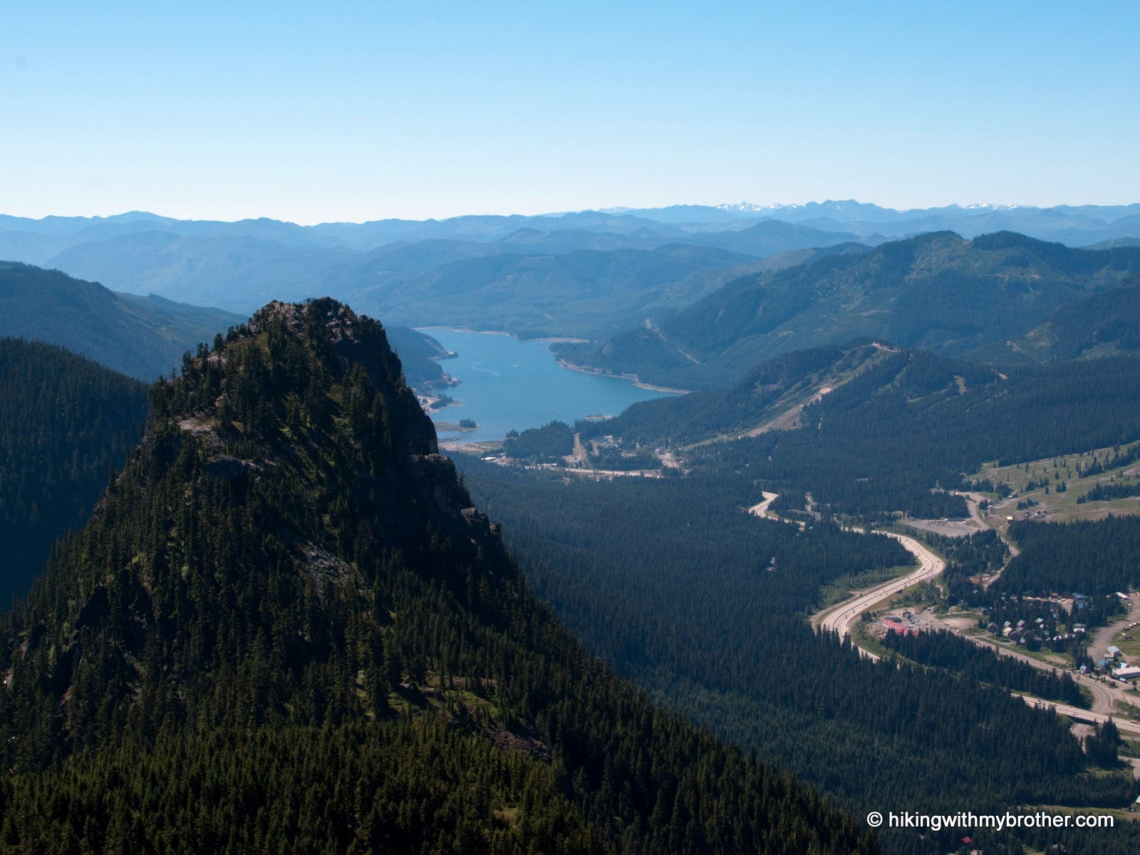
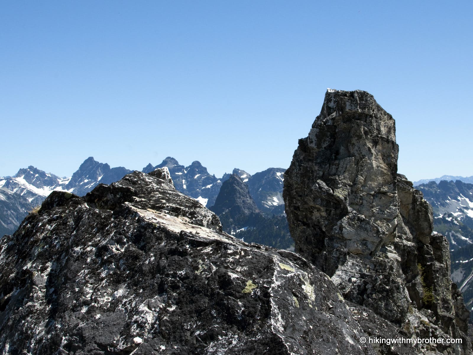
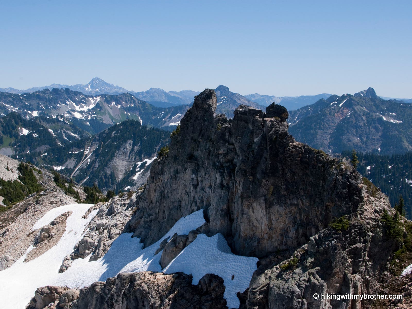
Although challenging, Snoqualmie Mountain dishes out a phenomenal panorama. On a good day, Mt. Rainier commands the skyline. Looking clockwise from Rainer’s snowy slopes, follow the long craggy ridgeline to see Denny Mountain, The Tooth, Hemlock Peak and Bryant Peak before ending above Snow Lake in a massive mountain that sprouts Chair Peak, Kaleetan Peak and Mount Roosevelt. Past Snow Lake, you’ll see the seemingly gentle ridges of the Middle Fork Snoqualmie Valley, and on the best of days, you can catch a glimpse of Glacier Peak in the distance. Nearby Lundin Peak and the distinctive Red Mountain sit almost directly opposite of Rainier, with Mt. Thompson, Kendall Peak and Alta Mountain. Cave Ridge and Guye Peak sit to the east with Keechelus Lake. Mapped by Nathan and Jeremy Barnes.

Trail Facts
- Distance: 2.3
Waypoints
SMT001
Location: 47.445284, -121.423399
To get to this trailhead (there’s no sign), follow a dirt road to the left of the Snow Lake trailhead.
SMT002
Location: 47.445307, -121.421338
Turn right off the dirt road onto the trail. The rough trail climbs steeply from this point forward.
SMT003
Location: 47.445286, -121.420534
The trail becomes a creek bed. Wear waterproof shoes or hiking sandals because the amount of water in the creek bed varies depending on the time of year.
SMT004
Location: 47.448273, -121.416041
Here you’ll come to a Y in the trail. Take the path leading left up to Snoqualmie Mountain. The trail to the right goes to Guye Peak.
SMT005
Location: 47.449597, -121.41488
After a small creek crossing, take a quick rest by a waterfall before continuing the tough climb.
SMT006
Location: 47.451661, -121.414603
Nothing but foundation blocks remain of what was likely an old fire lookout.
SMT007
Location: 47.458701, -121.414896
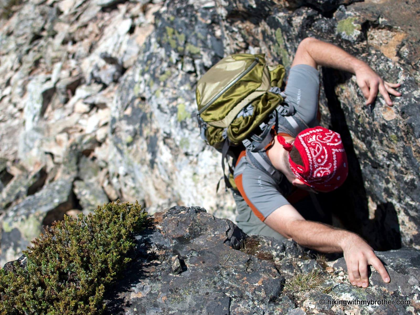
If you’re up for it, scramble off-trail to reach these interesting granite pillars that create a sharp spine near the summit of Snoqualmie Mountain, but BE CAREFUL because of the steep drops!
SMT008
Location: 47.458894, -121.416539
Enjoy sprawling panoramic views when you reach the 6240-foot summit of Snoqualmie Mountain, one of the tallest peaks in the area.
Trail
Location: 47.445359, -121.420147
Boulder-strewn trail.
Trail sign
Location: 47.448319, -121.415963
Handmade sign
Overlook
Location: 47.449625, -121.41488
Creek below
Guye Peak
Location: 47.456445, -121.415706
View south
Scamble
Location: 47.458694, -121.414976
Crux of the scramble
View East
Location: 47.458737, -121.414611
Mt. Thompson
Granite Spine
Location: 47.45865, -121.416156
Panorama
Location: 47.458868, -121.416349
Mt. Rainer to the south.