Seattle, WA: Silver Peak Loop
Silver Peak has long enjoyed popularity amongst hikers, spanning back to the first recorded ascent by the US Geological Survey in 1899. Since that time thousands of snowshoers, mountaineers and backpackers have enjoyed the relative ease of access to one of the tallest peaks in the Snoqualmie region as well as the expansive views from the top. A visit to Silver Peak was long overdue, so we geared up and headed out the Pass.
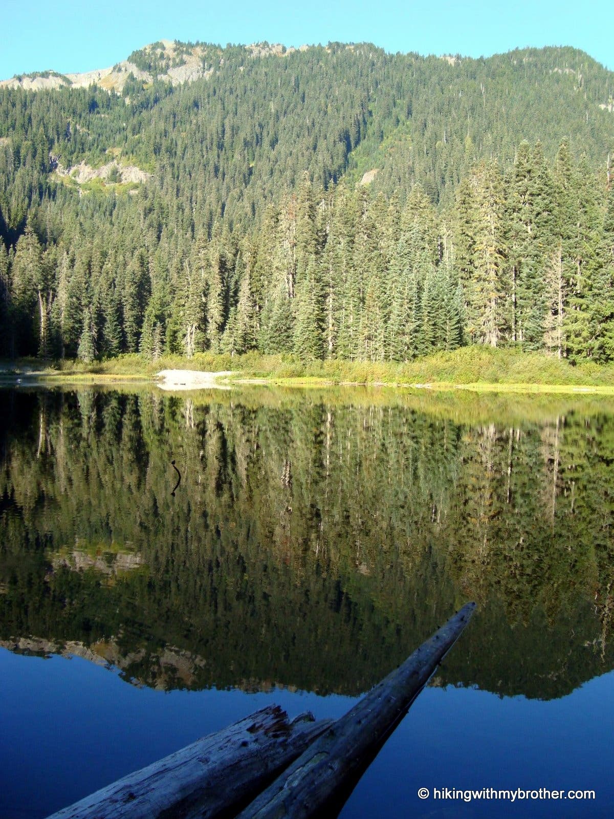
The trail begins by nonchalantly following Cold Creek up to Twin Lake, cutting a narrow swath through a young forest still thick with undergrowth. Within a mile the shores of Twin Lake appear, ideally reflecting within its waters the eventual goal; the rocky cornice of Silver Peak. Veer to the left, following a trail the rapidly deteriorates into a rock-ridden game trail in need of some maintenance. Indeed, we ran across a Washington Trail Association work crew in the midst of being issued axes and adzes, readying for another pitched battle against trail degradation.
From Twin Lake, the route switches gears and begins to aggressively gain elevation, quickly switchbacking up to the Tinkham Peak ridgeline where the trail intersects with the Mirror Lake Trail. Continue to the right beginning a long traverse around the bowl beneath Tinkham and eventually Silver Peak. Access to the peak itself is via an intermittently marked but well-worn spur trail. At this point you can choose to tackle the mountain, or continue on the loop back to Twin Lake. Note that a short portion of the return route is along FR 9070, so do not be confused when the trail runs aground on the road, simply head to the right for a few tenths of a mile before connecting back up with the Cold Creek Trail.
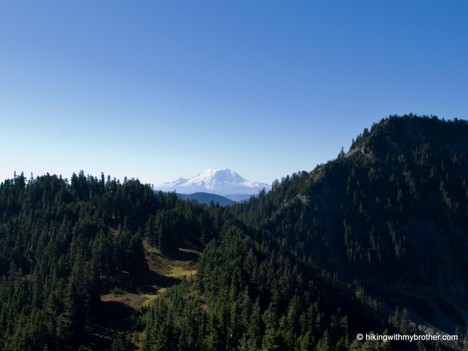
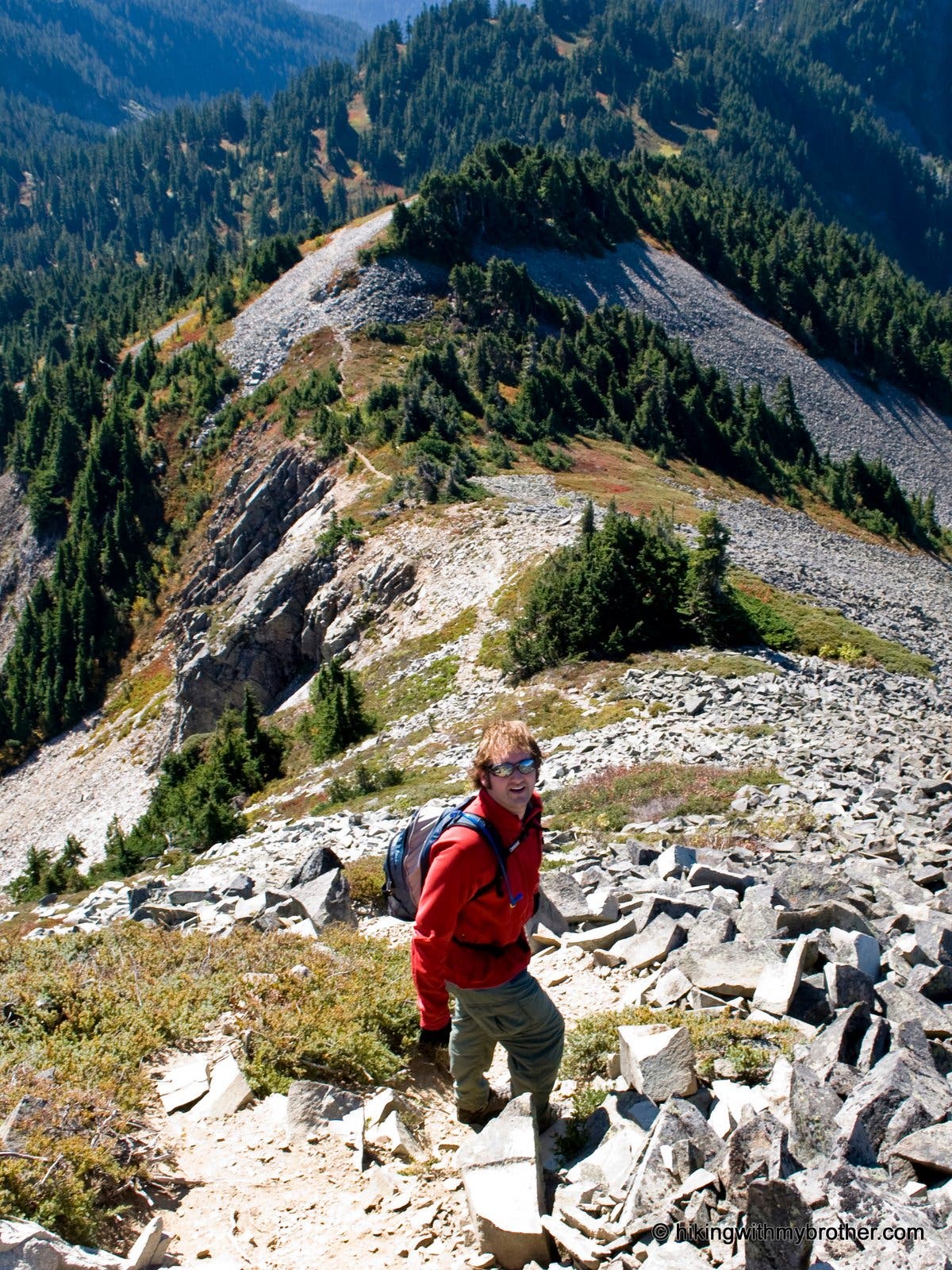
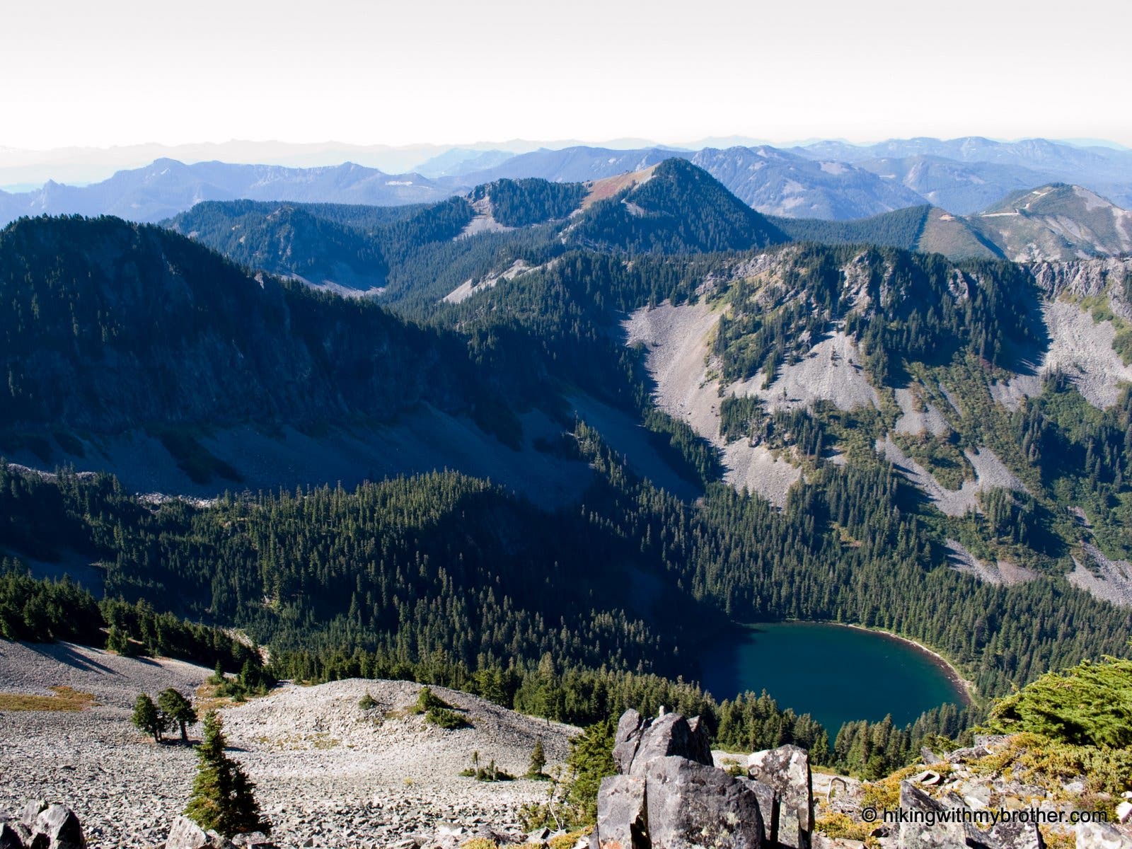
For the more adventurous, the last leg of your journey to the summit is rough. Loose rock, steep slopes and windy conditions make it easy to misstep or lose your balance. Be prepared to scramble a bit to reach the top, but rest assured that your efforts will be well rewarded. From the breezy precipice you have a commanding 360-degree view of the Snoqualmie Valley. Beyond Tinkham to the southwest the massive profile of Mt. Rainier demands attention. Below, the blue-green of Annette Lake resides in the forested bowl between Silver Peak and Humpback Mountain. To the east, nearby Mount Catherine obscures parts of Keechelus Lake. While ski slopes and clearcuts dominate the foreground to the north, look beyond the forests to the array of moutaintops before you: Denny, Snoqualmie, Kendall and Red. Look down into the Snoqualmie Valley past Granite Mountain, Mt. Defiance and McClellan Butte to see the faint and distant indications of North Bend. Apply liberally and enjoy.
Also consider following us at http://www.hikingwithmybrother.com
Trail Facts
- Distance: 13.9
Waypoints
SP001
Location: 47.363568, -121.4226
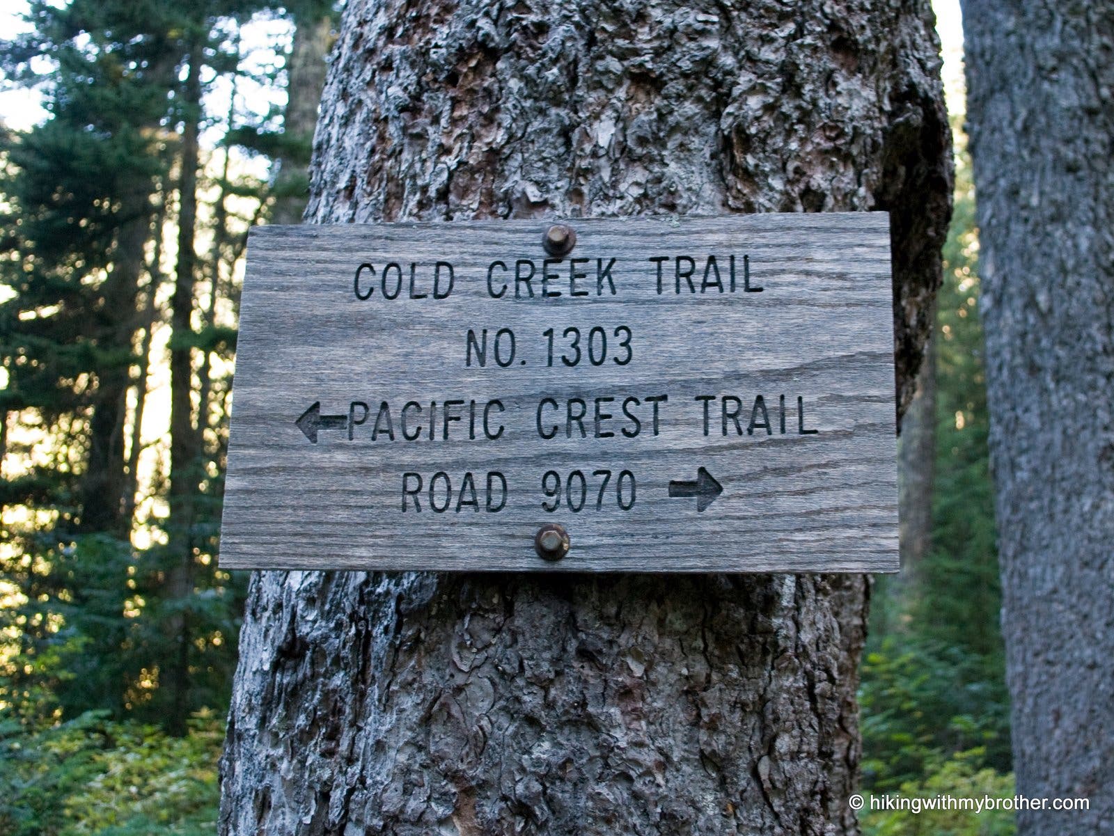
Start of Cold Creek Trail #1303. The trailhead is located at a sharp bend on Forest Road 9070.
Trailhead
Location: 47.363479, -121.422486
Start of Cold Creek Trail #1303
SP002
Location: 47.362195, -121.4351
Junction with Mt. Catherine Trail, continue on Cold Creek Trail #1303 toward the lake.
Junction Marker
Location: 47.362141, -121.435318
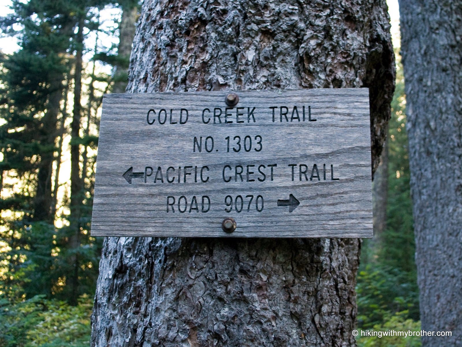
Follow Cold Creek trail to the Pacific Crest Trail #2000
Cold Creek
Location: 47.36188, -121.435533
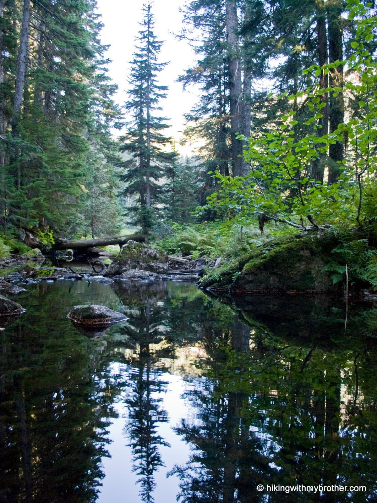
Cold Creek at the mouth of Lower Twin Lake.
Twin Lakes
Location: 47.361793, -121.436284
The lower slope of Silver Peak reflects in lower Twin Lake.
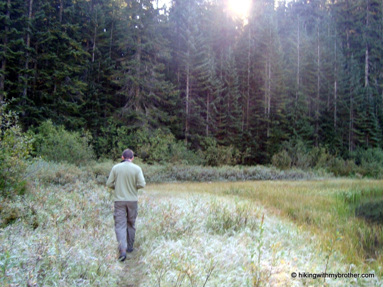
Frosted Marsh
Location: 47.3622, -121.437957
Hiker walking in the frost covered grass on the north shore of Lower Twin Lake.
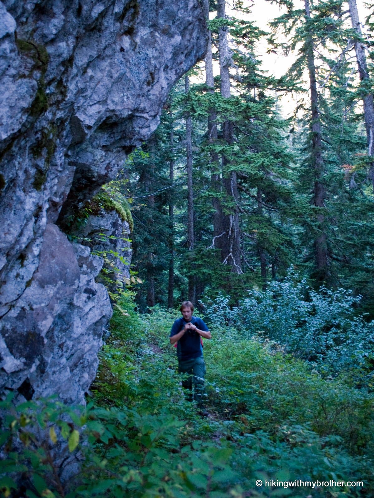
Tinkham Slope
Location: 47.353129, -121.442571
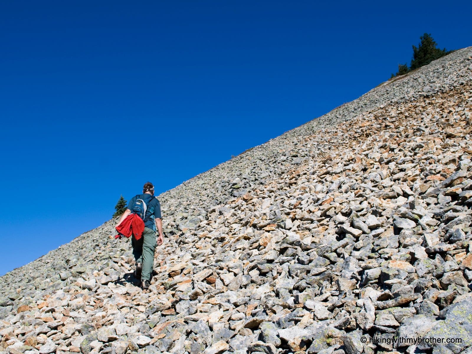
Hiker by rocky outcropping while hiking up the steep slope of Tinkham Peak.
SP003
Location: 47.351654, -121.442365
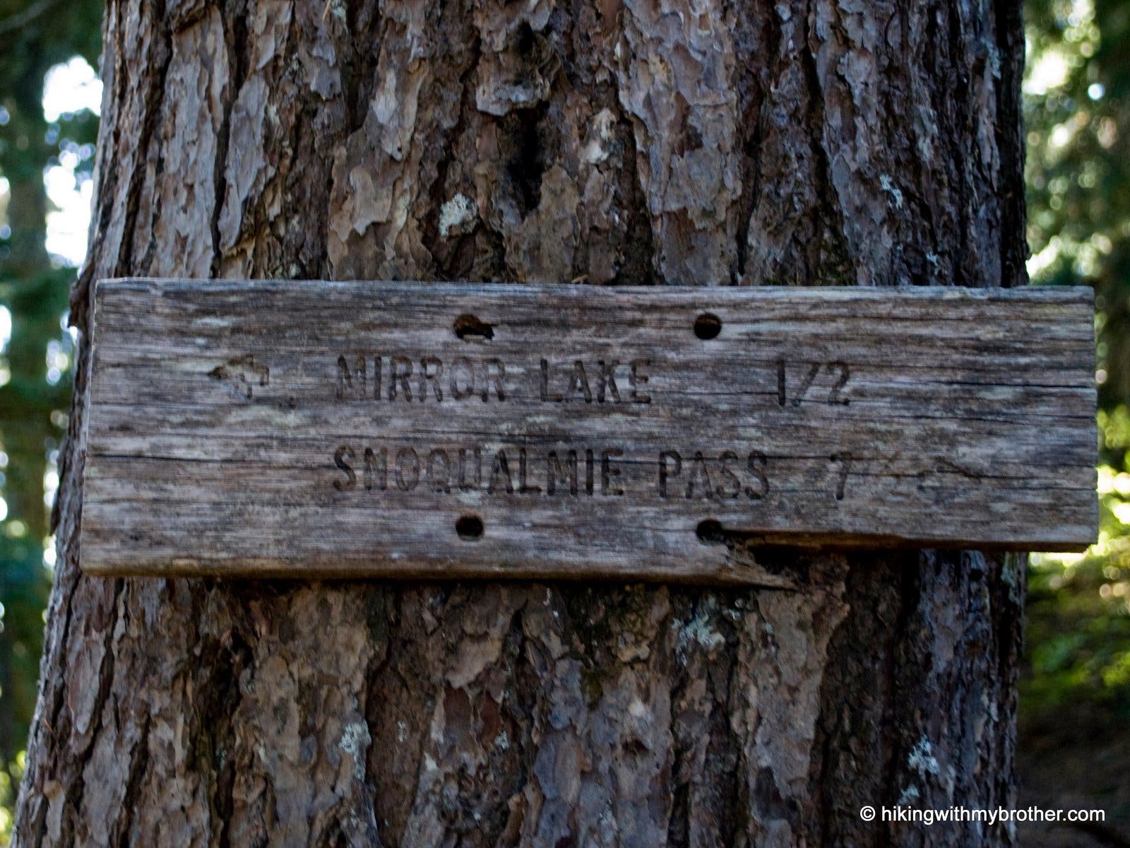
Junction with Pacific Crest Trail #2000. Turn left onto the PCT in the direction of Snoqualmie Pass. If you head down the hill to Mirror Lake, you’ve gone the wrong way.
Junction Sign
Location: 47.351559, -121.442506
Follow the PCT toward Snoqualmie Pass.
SP004
Location: 47.353964, -121.454505
Turn left onto Silver Peak Trail. There is no trail sign. Keep an eye out for a rock cairn marking the trail.
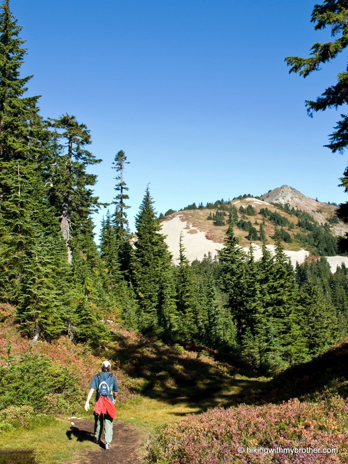
The climb ahead
Location: 47.35467, -121.462162
The barren Silver Peak rising in the distance.
Scree
Location: 47.357112, -121.462848
The trail switchbacks up a large scree field.
Rainer
Location: 47.358246, -121.462011
To the south, Mt. Rainer emerges between forested peaks.
SP005
Location: 47.359631, -121.461315
Small saddle before the steep scramble to the top.
Ridge Line
Location: 47.36063, -121.461293
On the ridge, high winds blow from the east. When possible, stay to the leeward side of the mountain.
SP006
Location: 47.361423, -121.461169
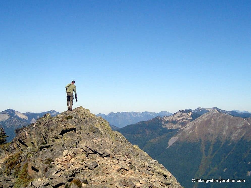
Summit of Silver Peak. Look down the western slope to Annette Lake. Tinkham Peak rises to the immediate south.
Summit
Location: 47.361458, -121.461335
Standing on the summit.
Summit West
Location: 47.361429, -121.461373
Looking west. Annette Lake is in the foreground.
SP007
Location: 47.353964, -121.454505
Make a left back on to PCT #2000.
Clear cut and pool
Location: 47.372373, -121.448321
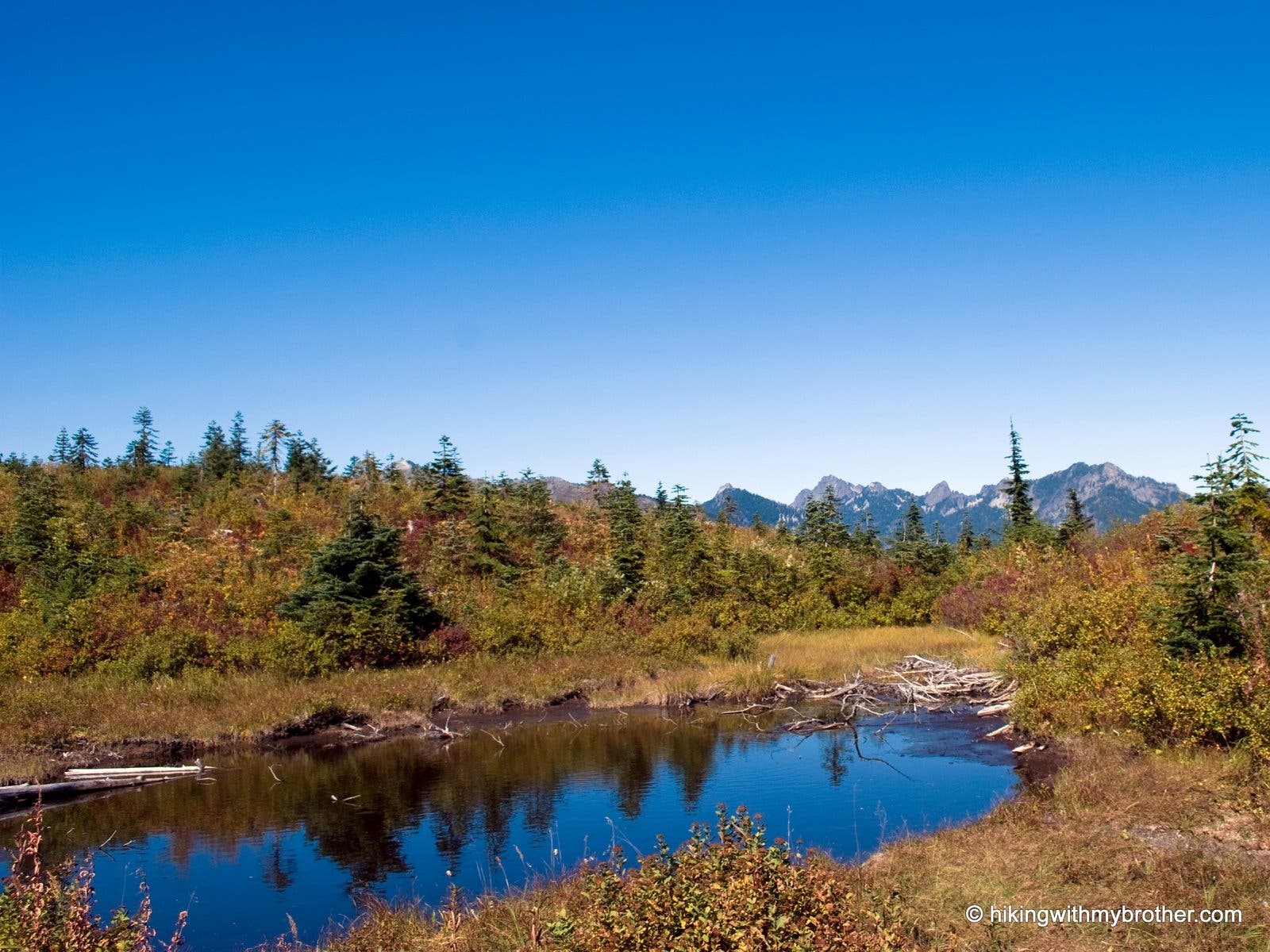
A small reflecting pool stands out in a area of clear-cut on the PCT.
SP008
Location: 47.373109, -121.44701
Turn left and follow Forest Road #9070 for a 1/4 mile to the Mt. Catherine Trail #1348.
SP009
Location: 47.369488, -121.444026
Veer left off of FR9070 onto Mt. Catherine Trail #1348.
Junction Marker
Location: 47.369176, -121.443987
Follow the Mt. Catherine Trail downhill back to Twin Lakes.
SP010
Location: 47.362195, -121.4351
Turn Right onto Cold Creek Trail #1303 for the final mile of the hike.