Published September 19, 2013 11:03PM
Seattle, WA: Putrid Pete's Peak
Exercise your route-finding skills on this steep fiver-miler up a little-known peak named for a Seattle-area mountaineer offering wide panoramas over the Snoqualmie Pass area.
On August 10th, 1953, Pete Schoening managed to arrest the fall of all five members of his climbing party with nothing more than an ice axe, stopping them from plunging down the slopes of K2. In the mountaineering community, the event is legendary and is simply known as “The Belay.” In honor of Schoening, Putrid Pete’s Peak was christened atop a sub-peak near Mt. Defiance, offering stellar views of Washington’s cascades.
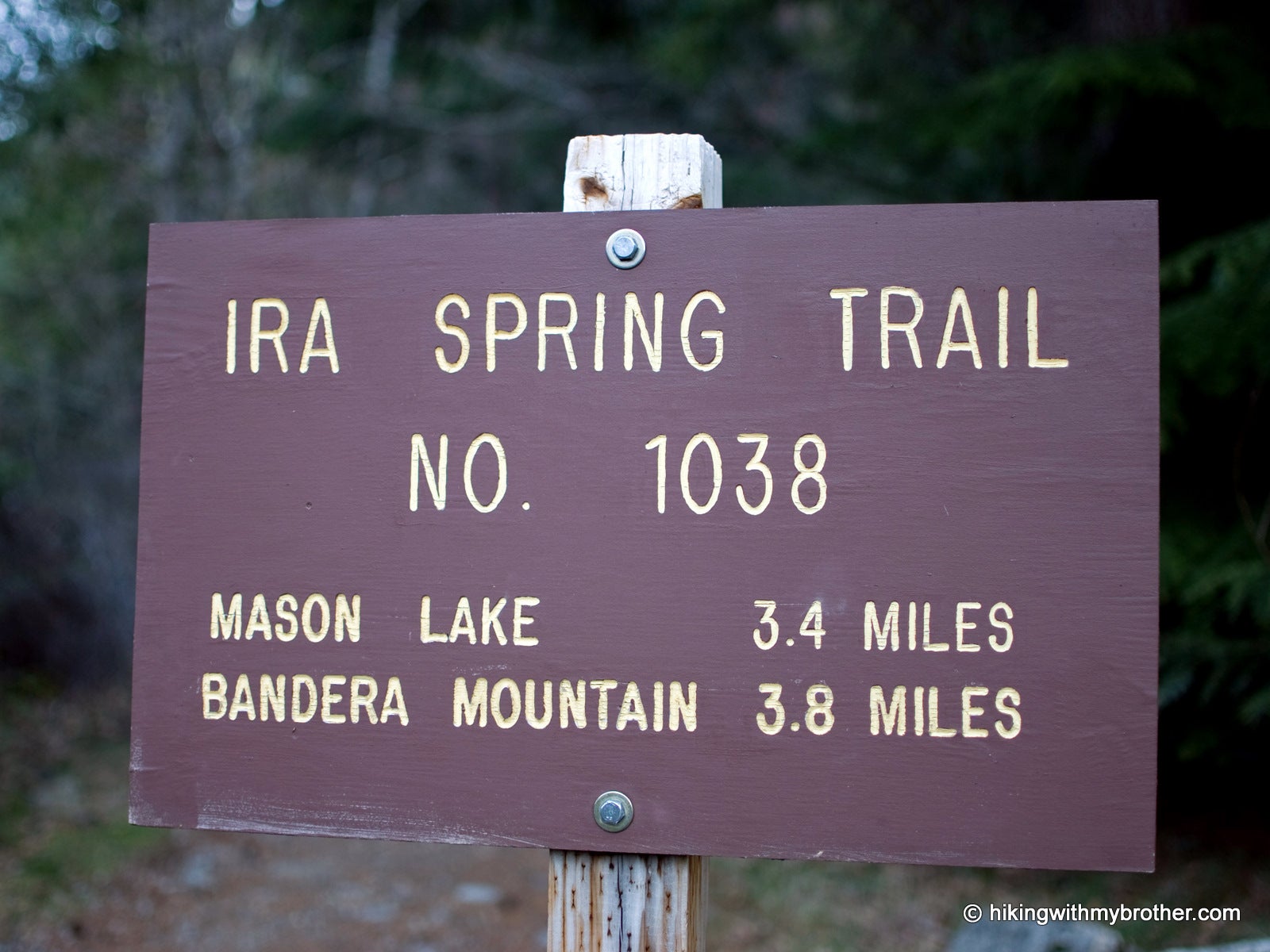
The route begins along the Ira Spring Trail #1039 following an abandoned roadbed for just over 0.1 mile. When the official trail hits its first switchback up the mountain, ignore it and continue straight into the trees, following a faint boot path. The trail is unmarked and unofficial, though well trodden and easily followed. Ignore the paths that branch to the left and lead down the mountain. Continue onward and upward, eventually breaking free of the trees and into rocky meadows of bear grass and mid-summer wildflowers.
ADVERTISEMENT
The path becomes patchy and sometimes disappears in places, but keep heading up and you’ll soon traverse a minor ridge leading directly to Putrid Pete’s Peak. Clamber up the pile of rocks at the top and peer carefully over the edge into the bowl that holds Spider Lake. Look west toward West Defiance/Web Mountain, Mt. Washington, and Dirty Harry’s Balcony; to the north the peaks of the Alpine Lakes Wilderness spread out—on bluebird days pick out Mts. Adams, Baker and Glacier in the distance. The view to the east is dominated by Mt. Defiance with Bandera Mountain close behind; and directly across the valley sits the unmistakable horn of McClellan Butte, Mt. Kent and Mt. Gardener.
Mapped by Nathan & Jeremy Barnes Hiking With My Brother


Trail Facts
- Distance: 3.8
Waypoints
PPP001
Location: 47.424631, -121.583333
Start out on the Ira Spring (Mason Lake) Trail #1038.
PPP002
Location: 47.426722, -121.586538
At the first bend of the trail, continue straight ahead on a spur trail.
PPP003
Location: 47.426812, -121.587097
Junction with new trail construction; continue straight head.
PPP004
Location: 47.428753, -121.592975
Junction with a trail that leads down to Tinkham Road (Exit 42). Continue up and to the right.
PPP005
Location: 47.431771, -121.596538
Trail junction; turn left and up to continue to PPP. Going straight traverse to Dirty Harry’s Peak.
PPP006
Location: 47.434749, -121.593795
Small stream, go up and to the right.
PPP007
Location: 47.434613, -121.592348
Trail Junction; turn left and up the slope. Going straight leads back down the mountain.
PPP008
Location: 47.439341, -121.586664
ADVERTISEMENT
Summit of Putrid Pete’s Peak. To the north is Spider Lake, east is the top of Mt. Defiance, and Bandera Mountain. South is McClellan Butte on the other side of I-90.
Trailhead
Location: 47.424574, -121.583419
McClellan Butte
Location: 47.426461, -121.585479
Rest Stop
Location: 47.435229, -121.590629
Ridge Up
Location: 47.439119, -121.586938
Summit South View
Location: 47.439293, -121.586723
Summit North View
Location: 47.439351, -121.586595
Summit Register
Location: 47.439264, -121.58668
Summit South Pano
Location: 47.439409, -121.58638