Seattle, WA: Pratt Lake Saddle

Accessible most of the year, the Pratt Lake Trail (No. 1007) is a popular gateway into the 390,000-acre Alpine Lakes Wilderness Area. From the Granite Mountain Trailhead, the wide and well-worn path climbs past cascading creeks and fragrant stands of maturing firs and pines. A mile into the trail, the Granite Mountain Trail (No. 1016) forks to the right. Continue straight on Pratt Lake Trail for the first significant elevation gain of the trip. As the trail traverses the slopes of Granite Mountain, you’ll catch glimpses of the Cascades through gaps in the trees.
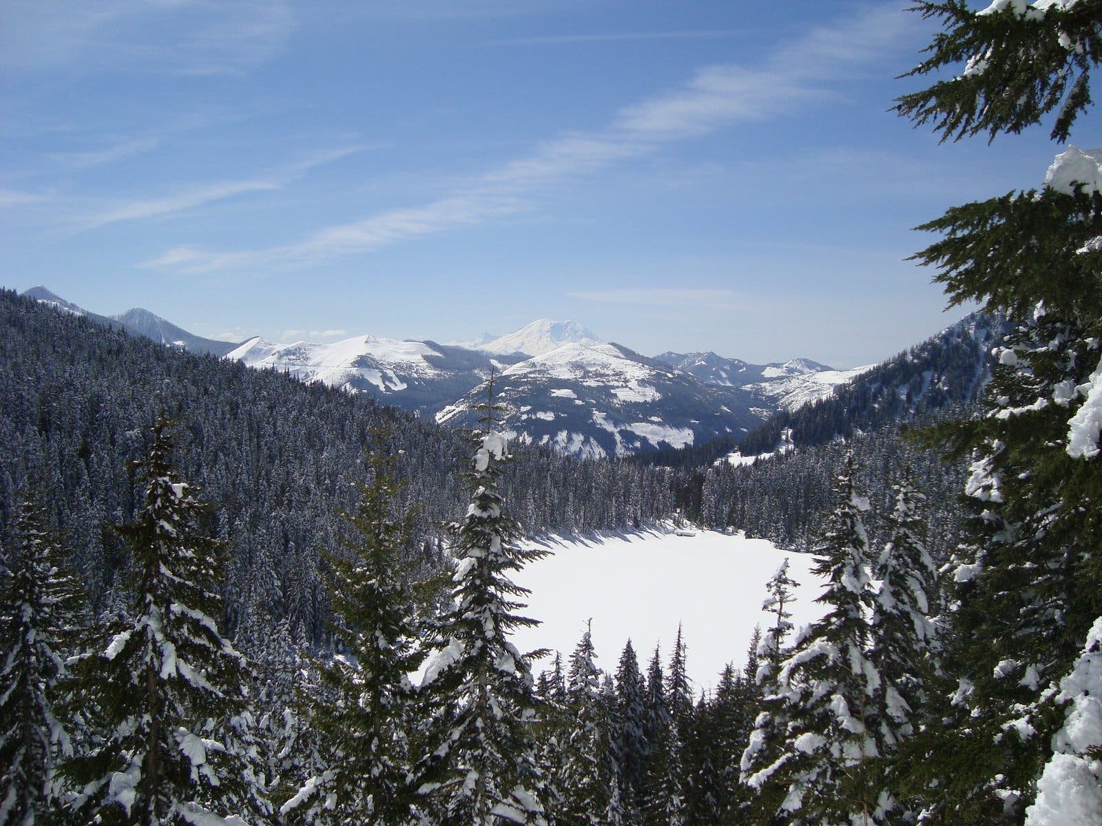
At the 3-mile mark, the trail intersects the Talapus Lake Cutoff Trail, which leads to the shores of Talapus Lake and Olallie Lake. Bear left for a short side trip to the lakes, or continue straight for the remaining 1.1 miles to the saddle. Just below the saddle, the trail rounds to the southwest and crosses a talus field; stop for stunning views of Mount Rainier and Olallie Lake. At mile 4.1, the route crests the 4,200-foot ridge separating Pratt Lake and Olallie Lake. Savor the 360-degree views of the Alpine Lakes Wilderness before turning around and descending back to the trailhead.
-Mapped by Nathan and Jeremy Barnes, hikingwithmybrother.com
Trail Facts
- Distance: 13.2
Waypoints
PLS001
Location: 47.397809, -121.4865589
From the Pratt Lake/Granite Mountain Trailhead, follow Pratt Lake Trail to the north. The trail immediately starts to climb the slopes of Granite Mountain to the north.
PLS002
Location: 47.4030259, -121.4869452
Bear left on Pratt Lake Trail @ 3-way junction with Granite Mountain Trail. Ahead: The route continues climbing northwest, passing small waterfalls and cascades.
PLS003
Location: 47.4138249, -121.5098662
Enter the Alpine Lakes Wilderness and continue north.
PLS004
Location: 47.4171603, -121.5104339
Continue straight on Pratt Lake Trail @ 3-way junction with Talapus Lake Cutoff Trail (leads to Talapus Lake and Olallie Lake).
PLS005
Location: 47.42155, -121.5074382
Continue straight @ 3-way junction with the short spur trail to the shores of Olallie Lake. Ahead, the trail rounds to the southwest and crosses a talus field; stop for stunning views of Mount Rainier and Olallie Lake.
PLS006
Location: 47.4248858, -121.512936
Crest the Pratt Lake Saddle, a 4,200-foot ridge perched above Pratt Lake and Olallie Lake. Optional: To add mileage, descend north for 1.2 miles to the Pratt Lake shoreline. Follow the same route back to the trailhead.
Views of Olallie Lake and Mount Rainer
Location: 47.4260549, -121.5083599
Snow-covered Olallie Lake and Mount Rainer in the distance.
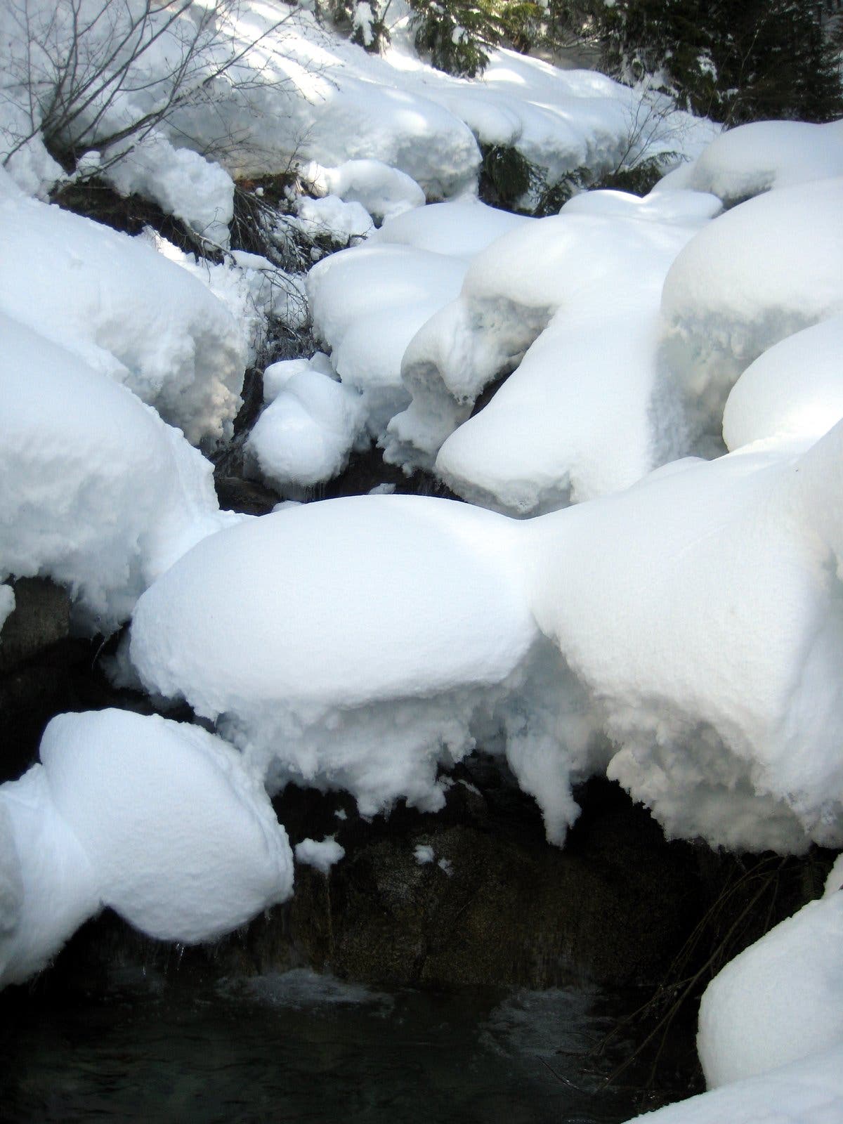
Small Cascade
Location: 47.4044201, -121.4917088
The first of many larger streams
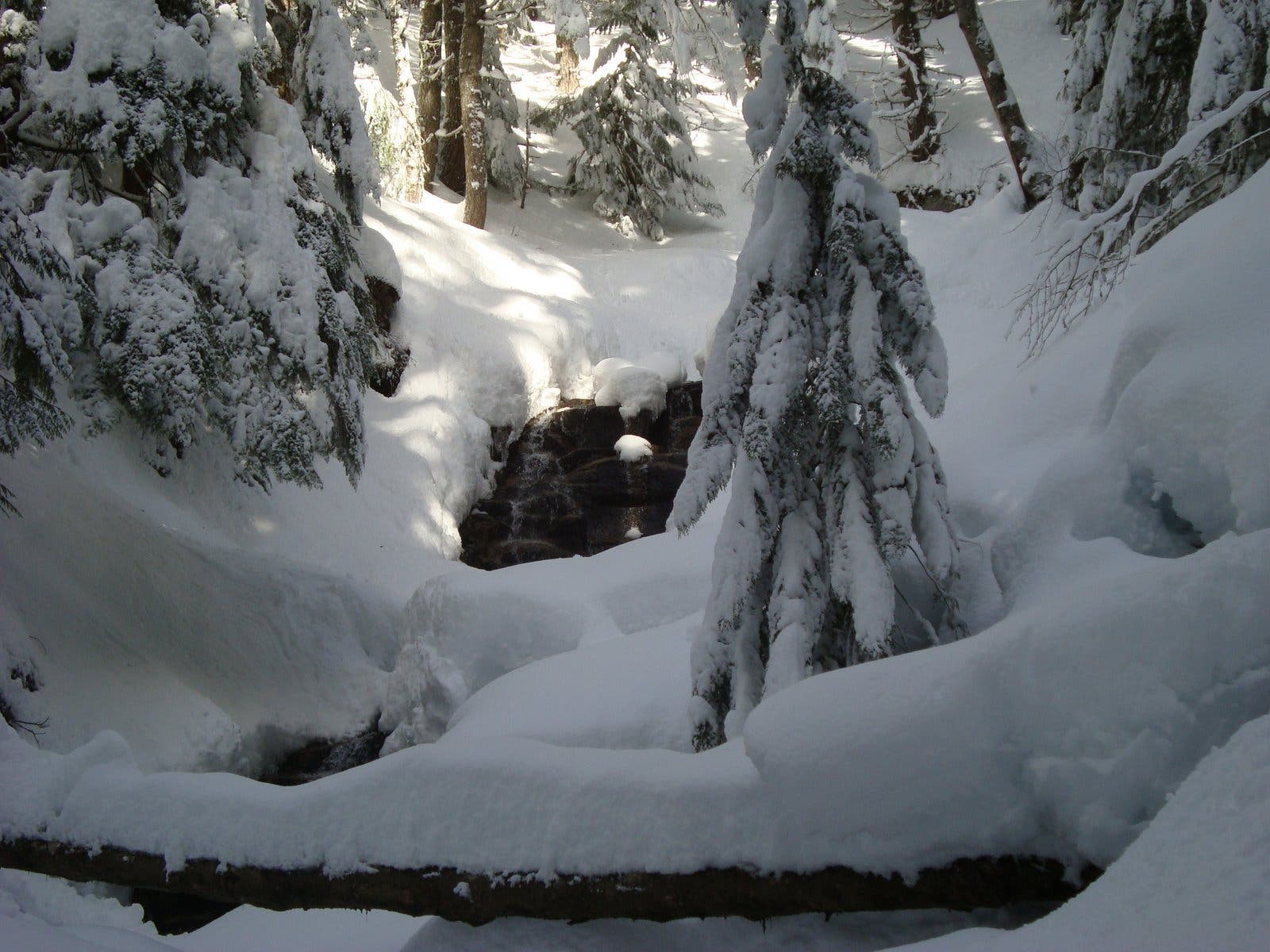
Snowy Waterfall
Location: 47.4065405, -121.4969444
Pratt Lake Trail
Location: 47.4068309, -121.5026093
Time to strap on your snowshoes.
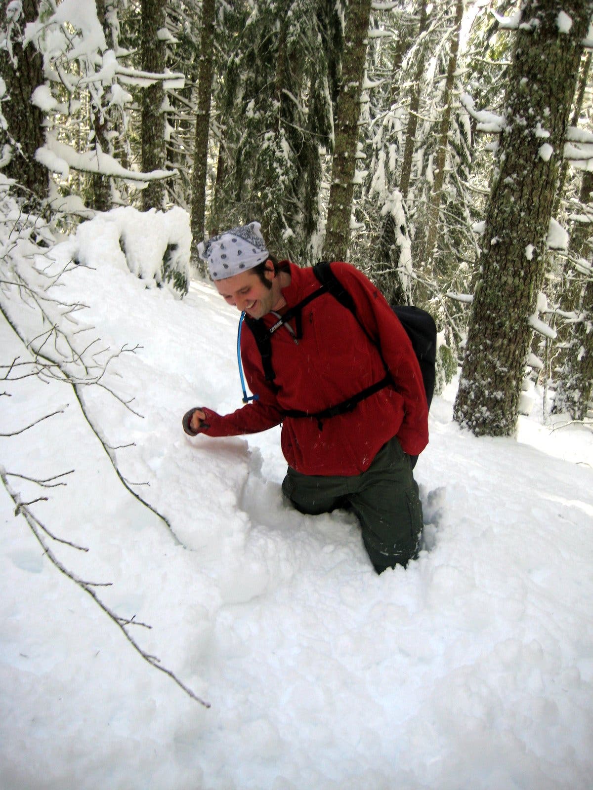
Trail Blazing
Location: 47.4197832, -121.5099907
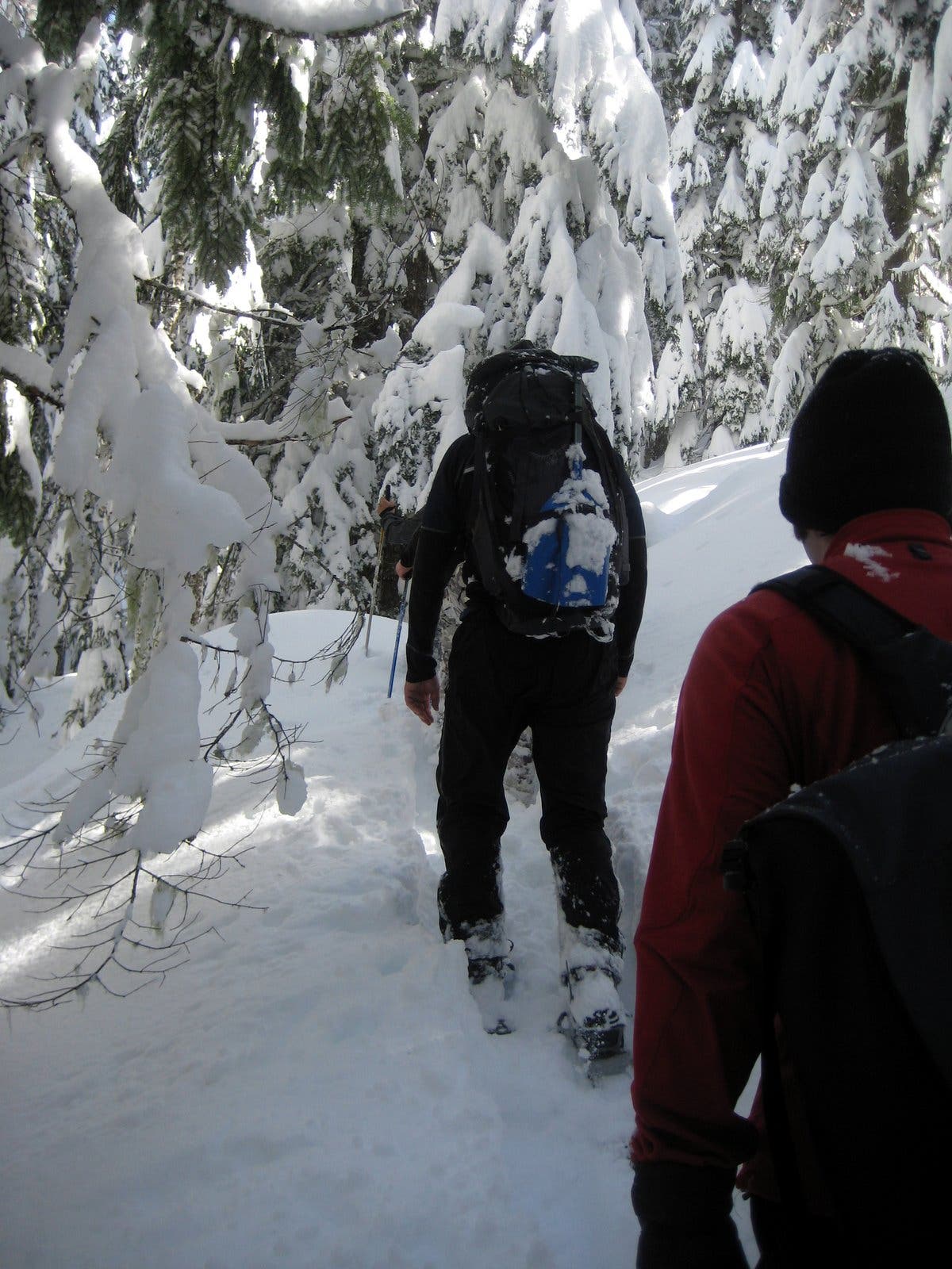
Snowshoers take turns blazing the trail.
Viewpoint
Location: 47.426084, -121.5080166
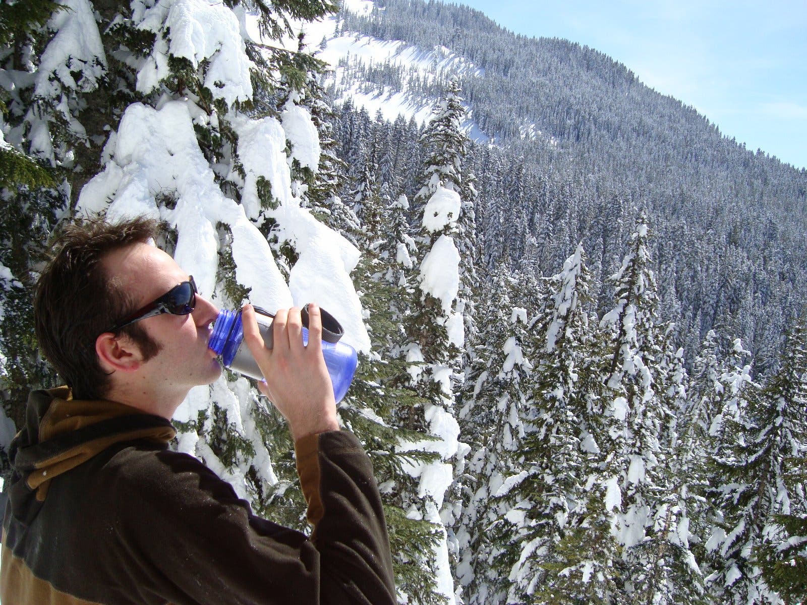
Stop to enjoy the view from the talus slopes on the final push to Pratt Lake Saddle.