Seattle, WA: Mount Si

There’s good reason why this 7.6-mile hike to the summit of Mount Si is popular year-round. Less than an hour from downtown Seattle, this summit climb in the Cascade Range offers hikers a challenging workout (3,400 feet of elevation in 3.8 miles) and 5-star views at the top.
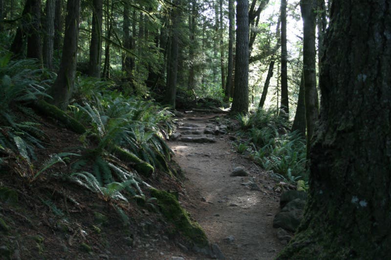
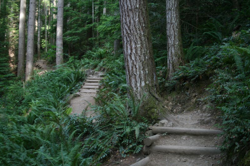
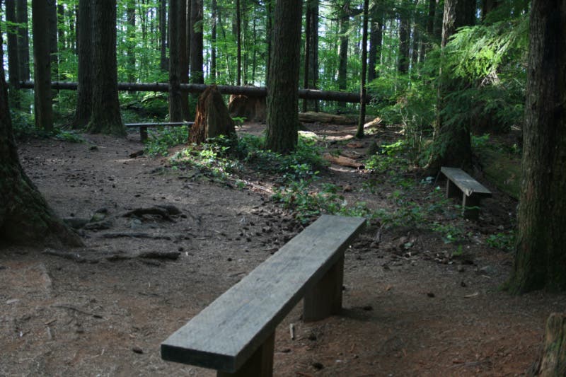
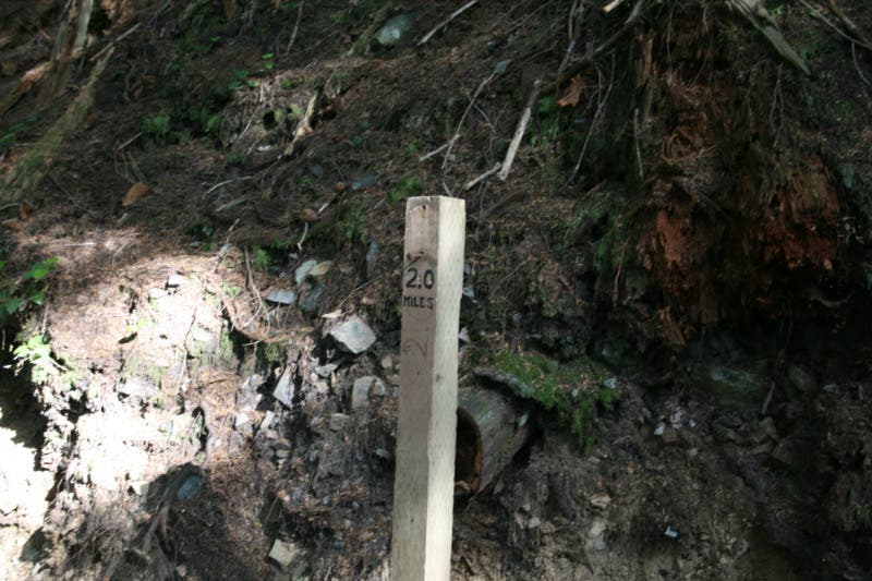
From the trailhead head north on the well-traveled trail. There’s little time for a warm-up; the climbing begins just 0.2 mile into the route. The next one and a half miles climb steeply up the mountain, passing a Stairmaster-like stretch and several benches. At mile 1.7, the route reaches Snag Flats, which offers a brief respite from the climbing. Walk along the interpretive boardwalk—a series of illustrated signs detail the natural history of the area. Prepare for another onslaught of switchbacks after milepost 2.
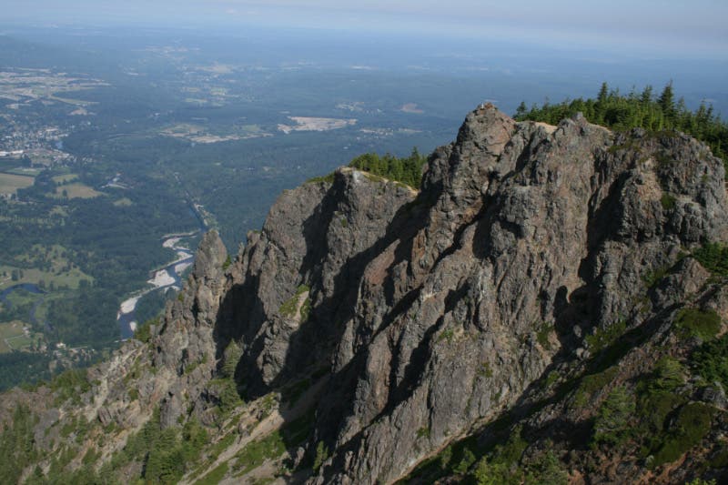
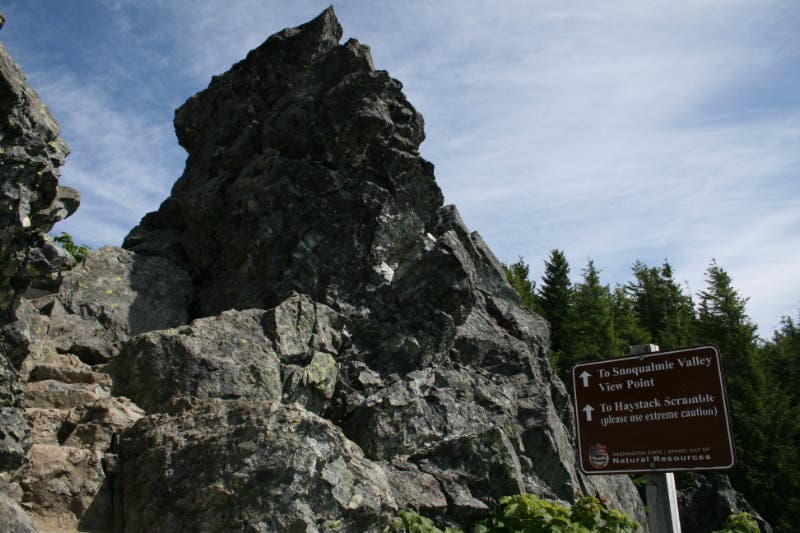
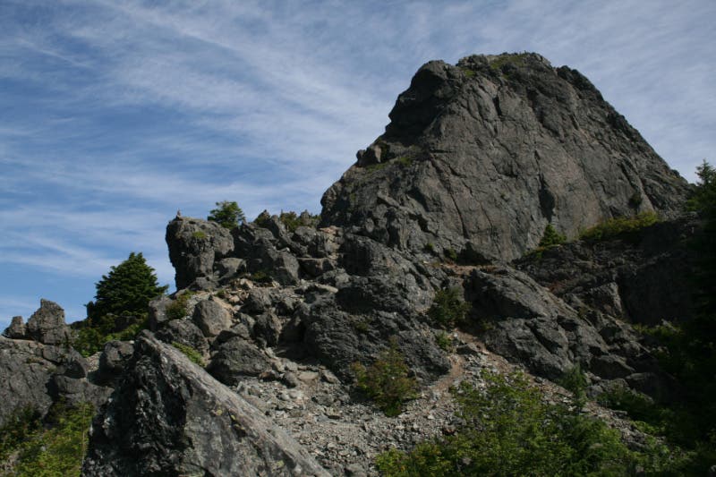
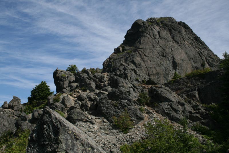
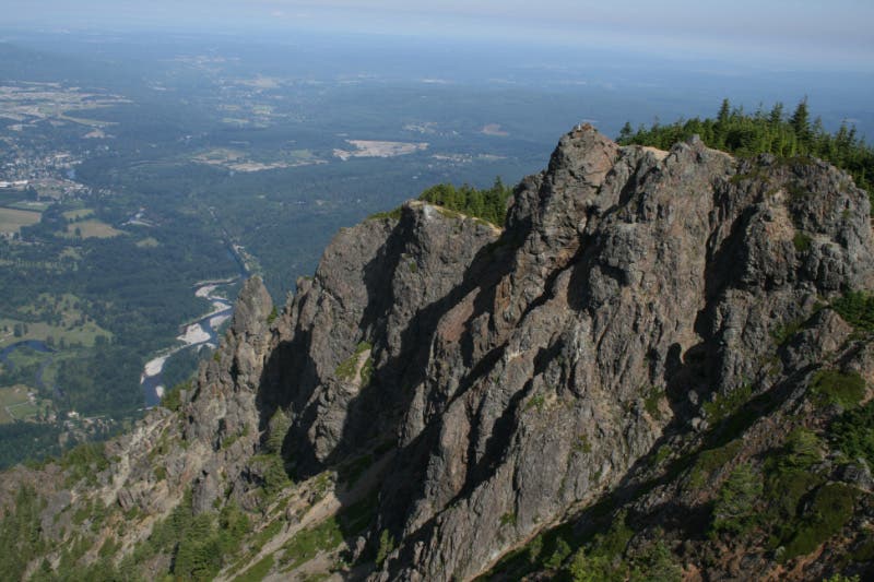
After 3.6 miles, the trail enters a meadow below Haystack Rock, a towering rock outcrop—and Mount Si’s true summit. Stop here to admire views of the Snoqualmie River valley and surrounding peaks before turning around and heading back to the trailhead. Experienced hikers can continue north for the challenging scramble to the top of Haystack Rock.
-Mapped by David Tate


Trail Facts
- Distance: 12.2
Waypoints
MSI001
Location: 47.48826, -121.723183
From the large parking lot, hike north.
MSI002
Location: 47.490239, -121.723387
The climbing begins just 1,000 feet into the route. The well-maintained (and well-traveled) trail ascends through lush forest.
MSI003
Location: 47.493175, -121.731468
Tackle this Stairmaster-like section of trail.
MSI004
Location: 47.492443, -121.734009
Mile 1: Keep climbing.
MSI005
Location: 47.493284, -121.73564
Park yourself on the trailside bench at mile 1.3 to catch your breath and rest your legs.
MSI006
Location: 47.496444, -121.733623
Snag Flats: Walk along the interpretive boardwalk, complete with picture illustrations detailing the natural history of the area.
MSI007
Location: 47.496908, -121.73402
Pass milepost 2, which marks the halfway point. Tackle a series of switchbacks ahead.
MSI008
Location: 47.505257, -121.739426
This meadow below Haystack Rock is a good place to stop and take in the views. Next, most hikers turn around at this point and return to the trailhead. Experienced hikers: Continue north for the challenging scramble to the top of Haystack Rock.
MSI009
Location: 47.507106, -121.738805
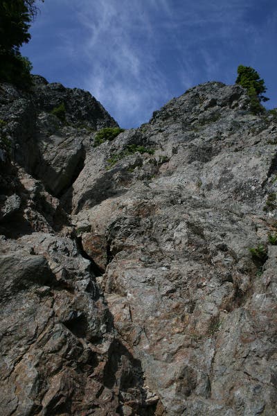
Look up: The challenging scrambling route to the top of Haystack Rock rises in front of you. Rock climbing skills required.
MSI010
Location: 47.506893, -121.738991
Haystack Rock: From the top of this outcrop, you’ll find 360-degree views of the surrounding peaks, including Mount Rainier, and the Snoqualmie River valley below. Next: Carefully descend Haystack Rock and return to the trailhead.
Views from Haystack Rock
Location: 47.5069, -121.738912
Mount Si Trailhead
Location: 47.488267, -121.723055
Forested Trail
Location: 47.490239, -121.723248
Stairmaster
Location: 47.493226, -121.731133
Mile 1
Location: 47.492457, -121.73373
Trailside Benches
Location: 47.493298, -121.735382
A few good parking spots…
Mile 2
Location: 47.496915, -121.733869
Caution Sign
Location: 47.505251, -121.739298
The scramble up to Haystack Rock can be hazardous.
Haystack Rock
Location: 47.505251, -121.739105
Haystack Rock
Location: 47.506338, -121.738408
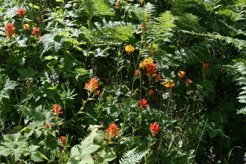
Tiger Lilies and Indian Paintbrush
Location: 47.506617, -121.738043
Tiger lilies and Indian paintbrush bloom in a small field before the scramble.
Scramble Route
Location: 47.507113, -121.73874
The scramble route up Haystack Rock.
Views from Haystack Rock
Location: 47.506892, -121.738831