Seattle, WA: Mount Defiance and Mason Lake

A sunny summer day with a forecast of clear skies has a way of shaking up the best laid plans, bending them toward mountaintops and lookouts. And so it was that we recently found ourselves once again at Ira Spring Memorial Trail #1038, this time readying ourselves for a trek up to the top of Mt. Defiance by way of Mason Lake.
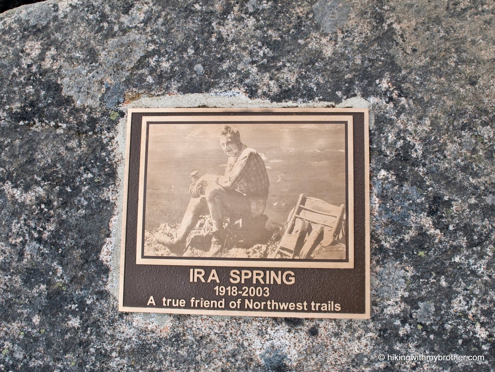
Since it was first blazed in 1958, the Mason Lake Trail #1038 has had a reputation for being steep and dirty. Over the years thousands of boots had badly eroded the trail, and hikers were forced to negotiate long uphill stretches over rocks and boulders. At the urging of wilderness advocate Ira Spring, a new route was proposed to address the trail damage, the steep grade, and the rocky obstacle course. Between 2003 and 2004, a small army of volunteers in coordination with Forest Service made the trail a reality. With the passing of Spring in 2003, the new trail was dedicated the Ira Spring Memorial Trail.
The trail begins on the bones of a re-purposed fire road, with a grade suitable for conveying heavy machinery up a mountainside. A few streams need to be forded before the trail becomes serious, leaving the young forest behind for a much steeper path up the mountain. The dusty trail moves beyond the pines for ever-larger glimpses at the valley below. Once the trail sheds the last of the trees, enormous views are your compensation for being fully exposed to the elements.
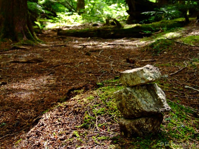
At just under three miles, the Mason Lake Trail and the Bandera Mountain Trail diverge. Continue upward through sub-alpine meadows and talus fields, reaching the Ira Spring Memorial just before the short descent down to Mason Lake. The lakeshore offers an abundance of campsites and the possibility of a refreshing dip before pressing on to the heights of Defiance. At the four mile mark, you hit the Mount Defiance Trail #1009 and things become rough; rotted roots and rocks exposed by the runoff from melting snow make the trail more difficult to navigate. As you gain elevation you will eventually emerge onto the meadows of Mt. Defiance, famously brimming with lush fields of wildflowers in the late spring and early summer. Watch for a small rock cairn marking the spur to the summit.
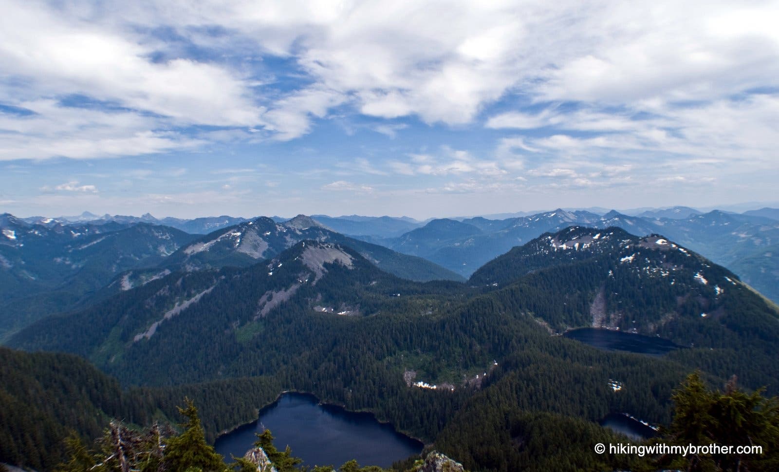
The spur is more of a goat-trail chipped straight from the mountain face on a direct route to the summit where you are richly rewarded with panoramic views of the Alpine Lakes Wilderness as well as a birds-eye view of the Snoqualmie Valley below. On the best of days five volcanic peaks can been seen: Adams, Baker, Glacier, Rainier and St. Helens. Lakes are liberally sprinkled throughout the bowl between Bandera and Defiance – the largest is Lake Kulla Kulla, with Blazer Lake and Rainbow Lake just to the east. Little Mason Lake is nestled under the now familiar Mason Lake. To the northeast you can make out a portion of Pratt Lake resting at the base of Pratt Mountain. Cast an eye across I-90 to look down on craggy McClellan Butte. To the west, a treeless ridge known as West Defiance extends out from the summit, looming over Spider Lake below.
Follow us at: http://www.hikingwithmybrother.com
Trail Facts
- Distance: 8.3
Waypoints
MD001
Location: 47.4245882, -121.5831828
Ira Spring (Mason Lake) Trailhead
MD002
Location: 47.4267553, -121.586516
Junction with small trail that leads to Dirty Harry’s Peak. Continue on the main trail.
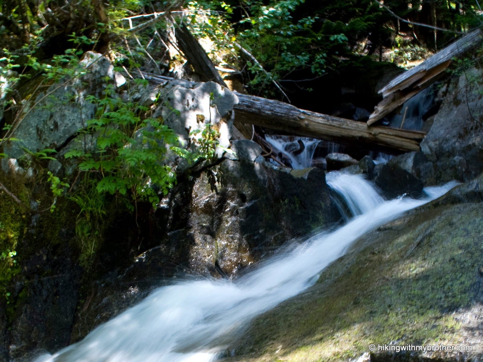
Small Falls
Location: 47.4240806, -121.5766811
A small waterfall on Mason Creek.
MD003
Location: 47.4176126, -121.5668723
End of the logging road. Follow the trail up. From this point the trail becomes significantly steeper.
Flowers and views
Location: 47.4172278, -121.5574551
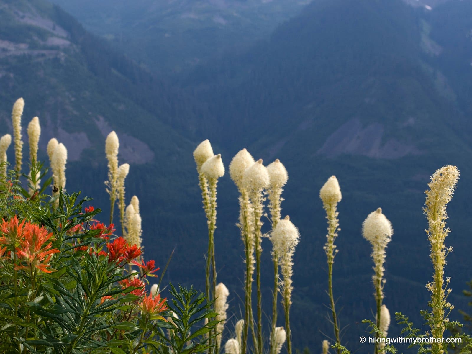
Paintbrush and bear grass are abundant as you traverse the avalanche meadows.
MD004
Location: 47.4188177, -121.5566805
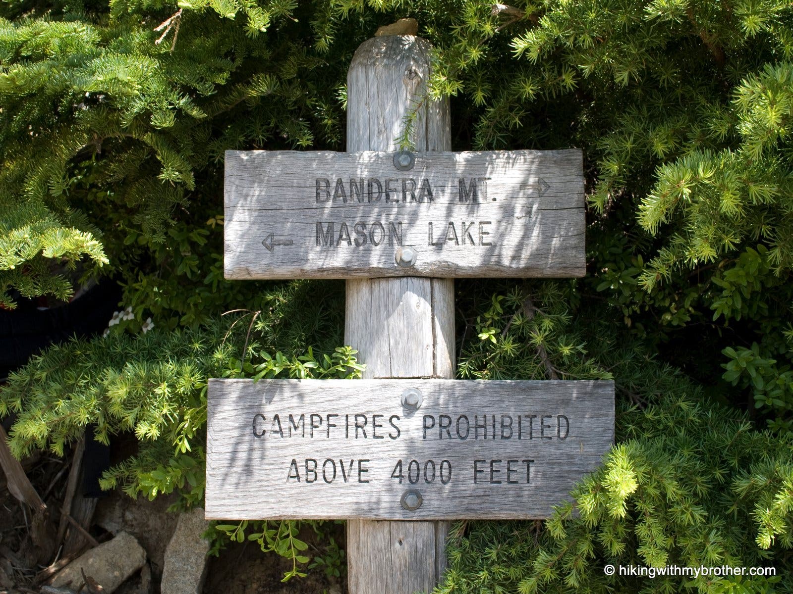
Junction with Bandera Mountain trail. Turn left and continue on the Mason Lake Trail.
Trail Marker
Location: 47.4187959, -121.5566611
View of Defiance
Location: 47.4209157, -121.5570688
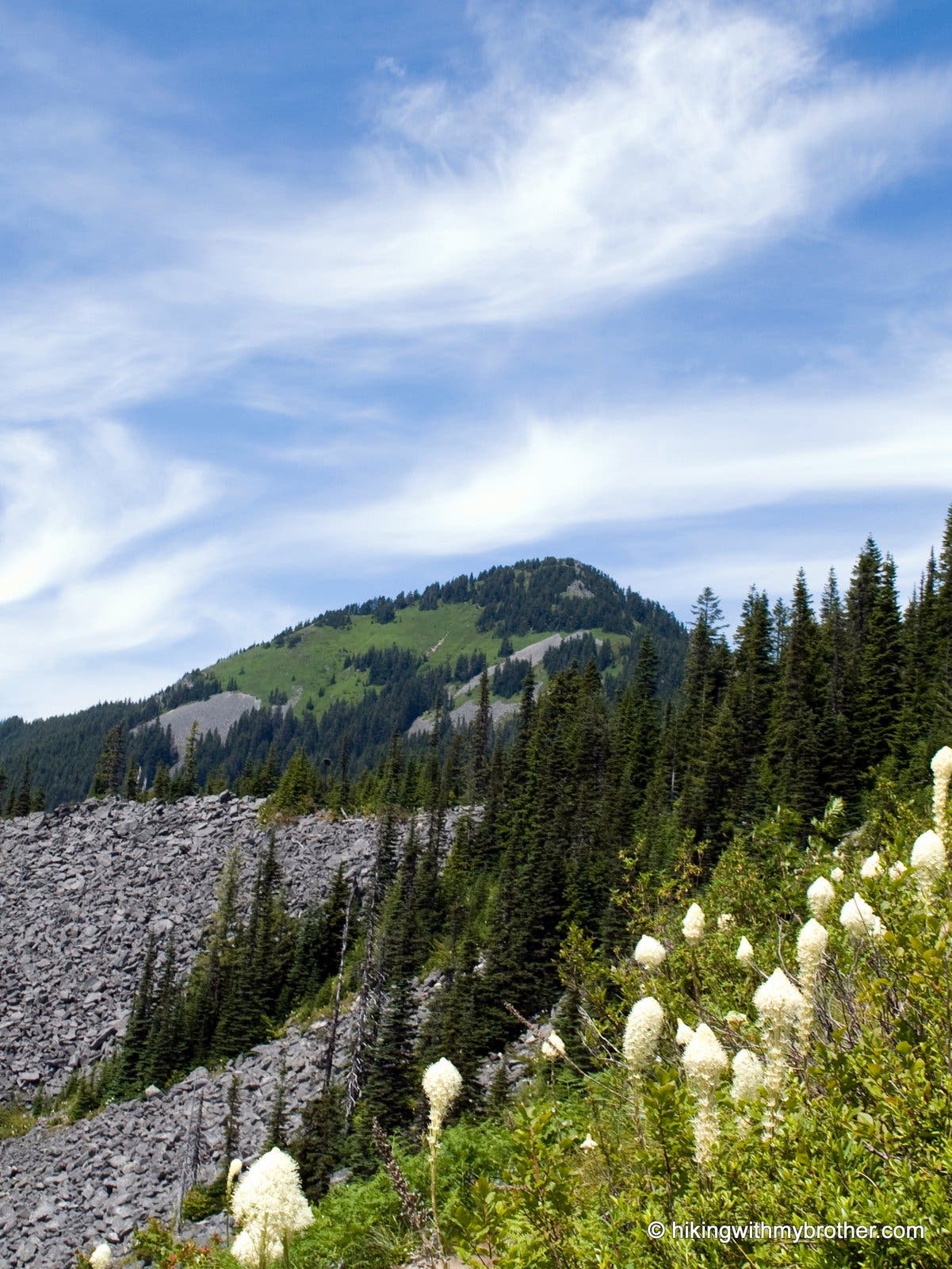
Mount Defiance rises in the distance amid fields of blooming bear grass and avalanche terrain.
Ira Spring Plaque
Location: 47.42199, -121.5578628
Plaque commemorating the Ira Spring (Mason Lake) Memorial trail. This is also the Alpine Lakes Wilderness boundary.
MB005
Location: 47.4247768, -121.5548904
Mason Lake. Cross over Mason Creek and continue on the trail.
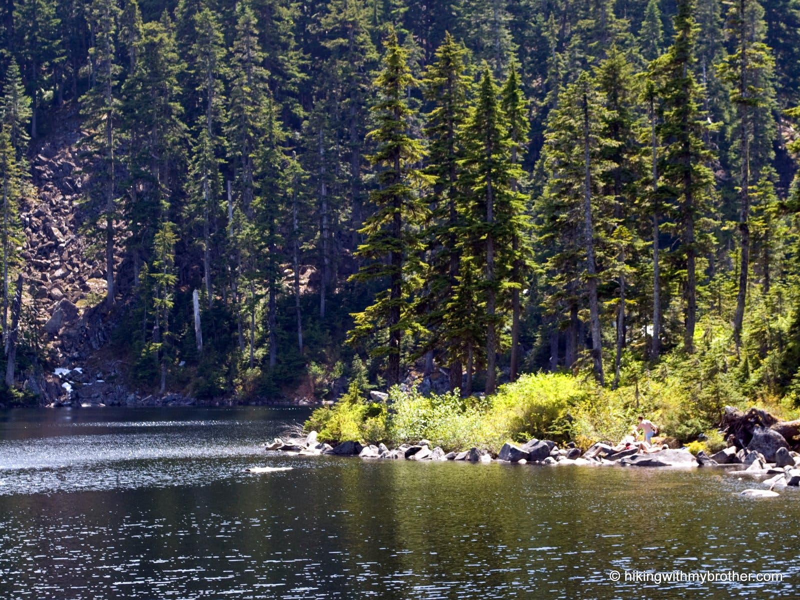
Mason Lake
Location: 47.4250097, -121.5540862
The cool waters of Mason Lake are perfect for a swim on a hot summer’s day.
MD006
Location: 47.4250361, -121.5535901
Campsites and a pit toliet near the shore of the lake.
MD007
Location: 47.4252976, -121.5528343
Trail junction. The path to the left leads to Little Mason Lake. Turn right and continue on the main trail.
MD008
Location: 47.4265843, -121.5509285
Trail Junction. Turn left and follow the Mt. Defiance Trail. The path to the right leads to Kullakulla Lake, Island lake and beyond.
Trail Marker
Location: 47.4266066, -121.5508676
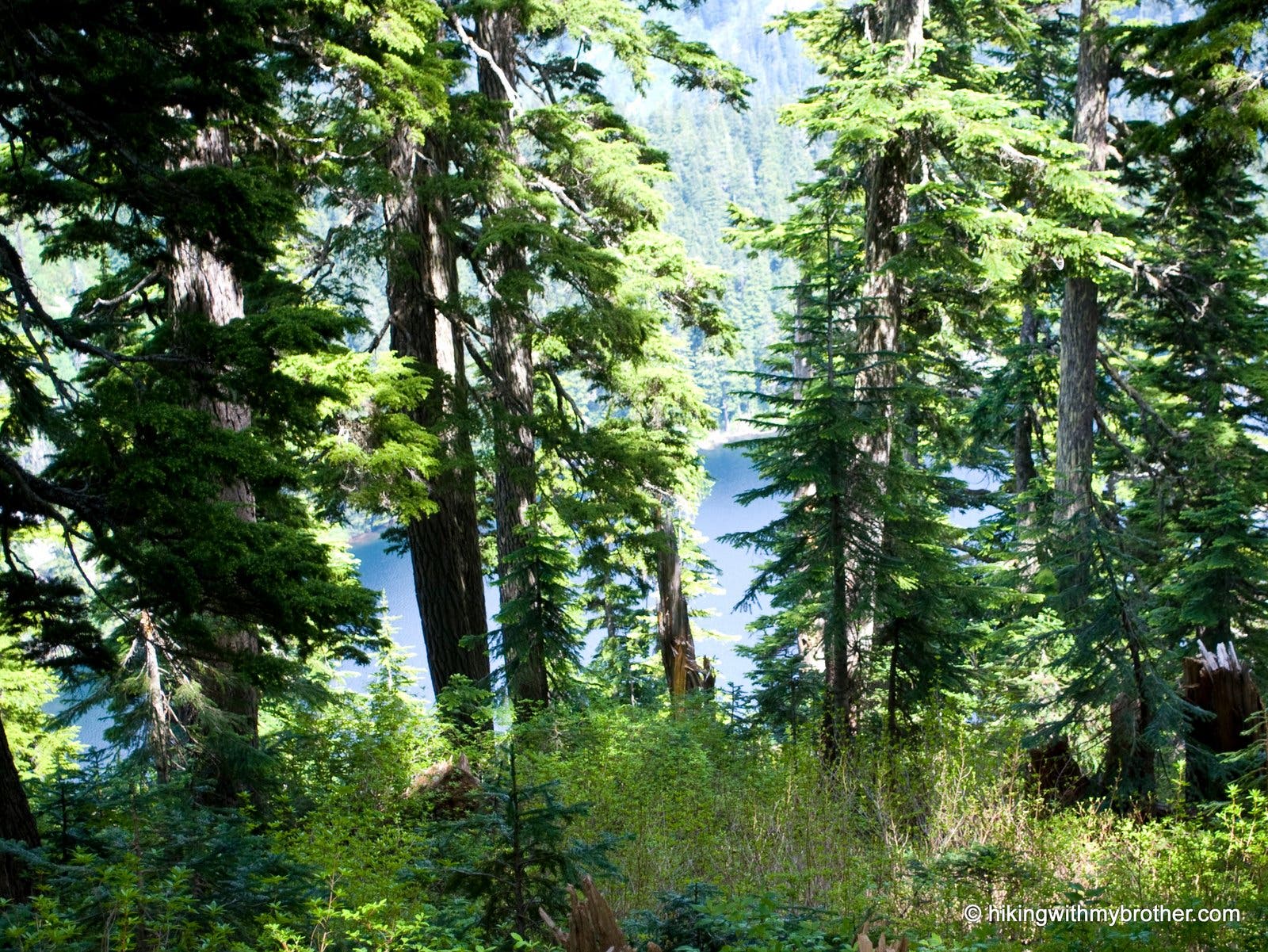
Kulla Kulla Lake
Location: 47.4312808, -121.556747
The deep blue water of Kulla Kulla Lake is visible through the forest as you continue ascending Mt. Defiance.
Meadows
Location: 47.4335306, -121.5632057
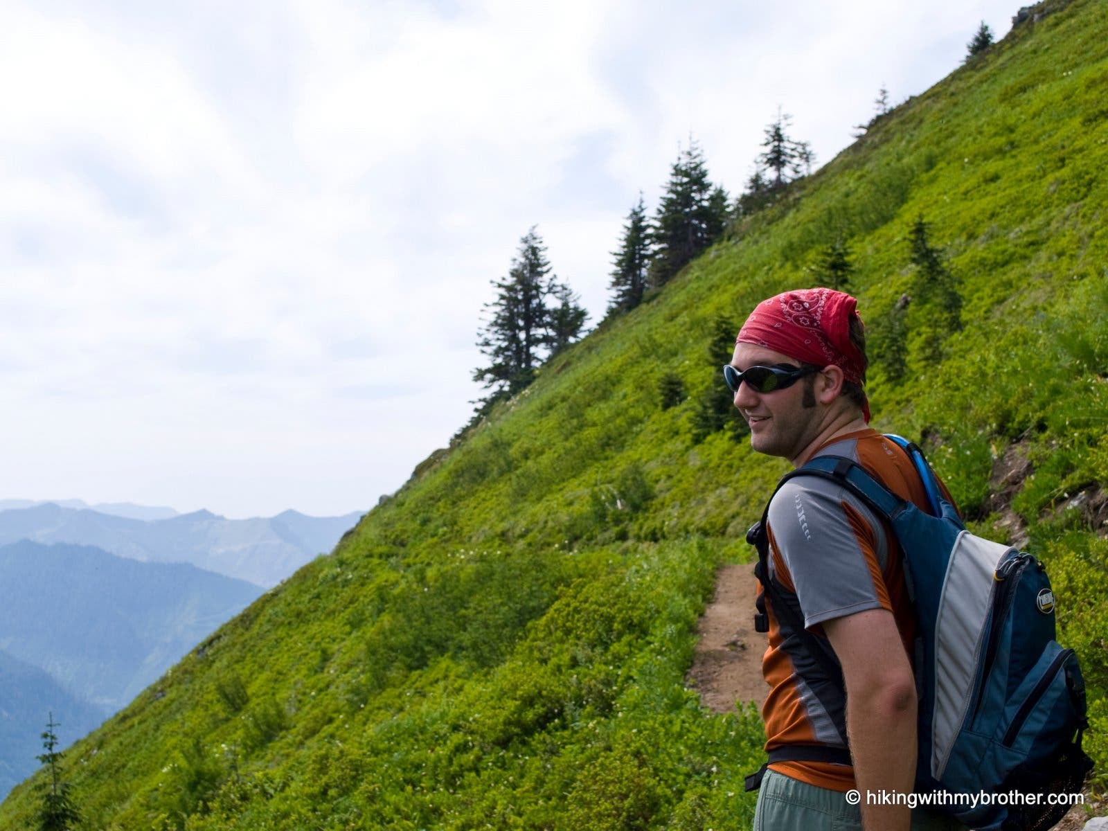
Hiker traversing the lush alpine meadows of Mt. Defiance.
MD009
Location: 47.4337856, -121.5677145
Turn right and steeply uphill on a spur trail to the summit.
Ascending the Peak
Location: 47.4347934, -121.5657806
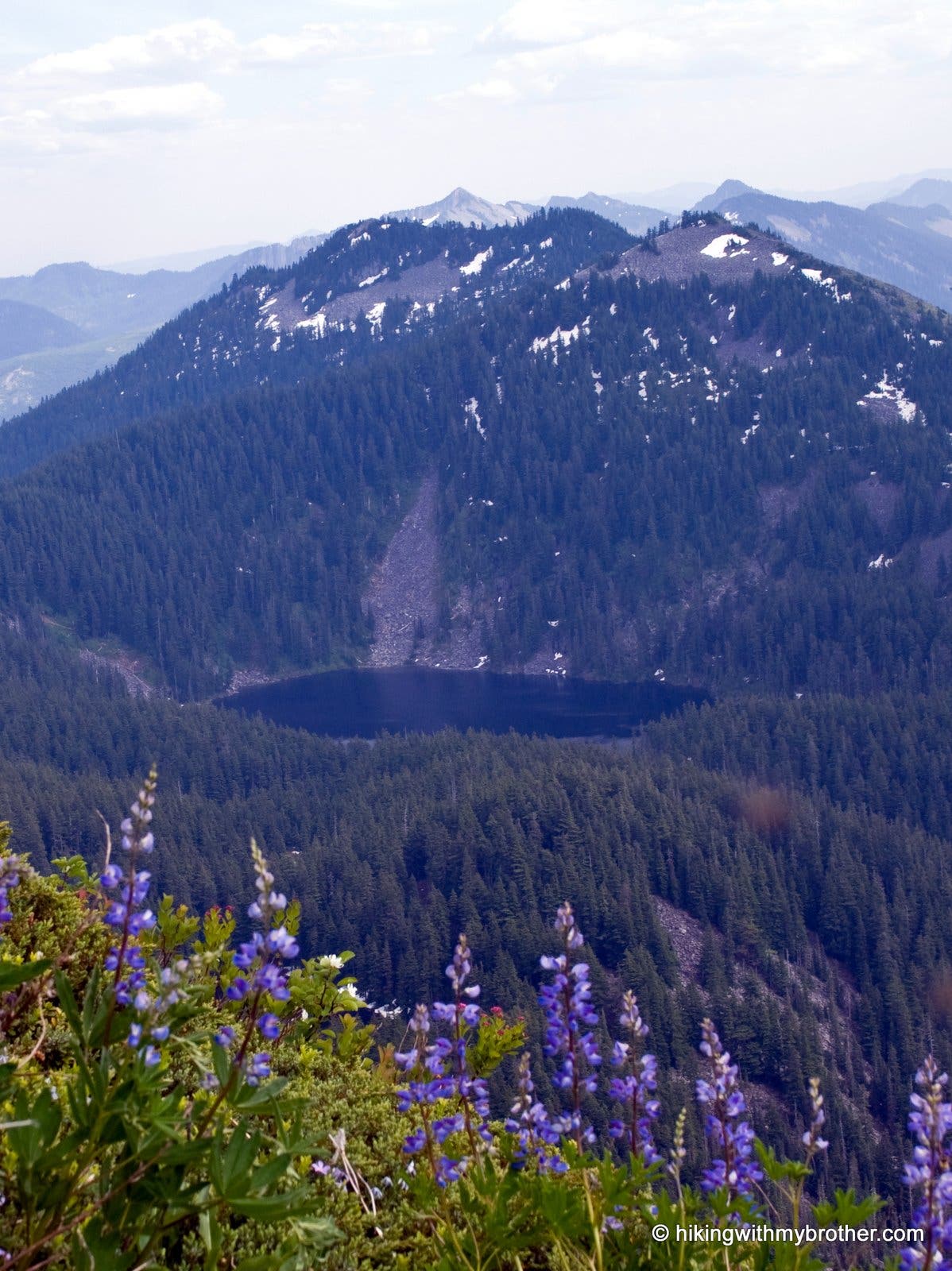
Lupine and many other wildflowers flourish here. Watch the butterflies dance as you take in the view of Mason lake nestled below Bandera Mountain.
MD010
Location: 47.4353946, -121.564333
Summit of Mt. Defiance and the end of the trail.
Summit Vista
Location: 47.4353885, -121.5642357
360-degree views await you at the summit. Looking east, Mason Lake, Kulla Kulla Lake, and Bandara are in the foreground. Rainer, Adams, and Baker are just some of the other sights to see.