Seattle, WA: Mount Catherine

OLYMPUS DIGITAL CAMERA
A popular trail for snowshoers and skiers, this 1.4-mile uphill in the Snoqualmie National Forest (ck: 425-888-1421) doesn’t draw tons of hikers—which makes the views from the 5,052-foot summit that much sweeter. The trail begins by following an old logging spur on the north side of Forest Road 9070. Within 300 yards, it turns rockier as it begins switchbacking steeply uphill. Near the trail’s half-way point, you’ll have climbed more than half the 1,200-foot elevation gain and forested switchbacks give way to a steady ridgeline climb with peek-a-boo views of surrounding peaks. The trail’s mischievous efficiency means you’ll encounter several false-summits, but the actual pinnacle hosts rusted cables and bolts—relics of 1920s aviation navigation aids. Though the trail is mostly rough and rocky, it’s easy to follow and there’s a short scramble toward the rocky peak itself
On a clear day, from the top you’ll look down on Keechelus Lake with I-90 hugging its shore. To the south, Rainer quietly lurks behind Silver and Tinkham Peaks. Humpback Mountain is immediately to the west and Red Mountain stands boldly to the north.
– Mapped by Nathan Barnes & Jeremy Barnes
Trail Facts
- Distance: 2.3
Waypoints
MCT001
Location: 47.370178, -121.444344
The trailhead is primitive and marked only by a sight widening of the road and an old forest-road spur that marks the beginning of the Mount Catherine Trail. Look for late-summer huckleberries in the trail’s first mile.
MCT002
Location: 47.369292, -121.440959
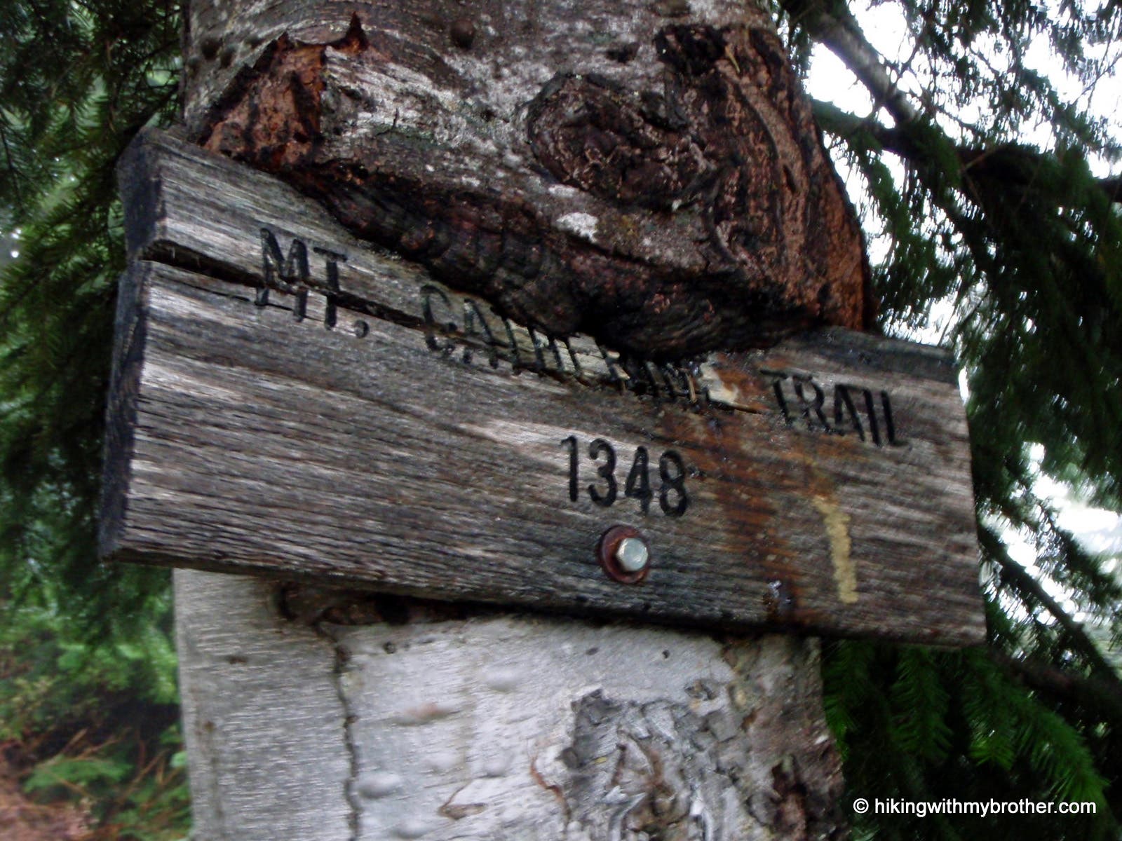
Just a few hundred yards from the trailhead, look for this trail marker. The trail narrows past this point and begins a 0.7-mile stretch of steep switchbacks.
MCT003
Location: 47.371995, -121.437936
The climbing mellows near the half-way point, when you reach the ridgeline which presents a half-dozen false summits and occasional views of the surrounding peaks to the north and south.
MCT004
Location: 47.37231, -121.426858
The trail ends atop the 5,052-foot summit of Mt. Catherine. Walk carefully around the rusty old cables and bolts, but enjoy some gentle scrambling on the rocky outcroppings surrounding the summit.
Trail
Location: 47.369699, -121.442442
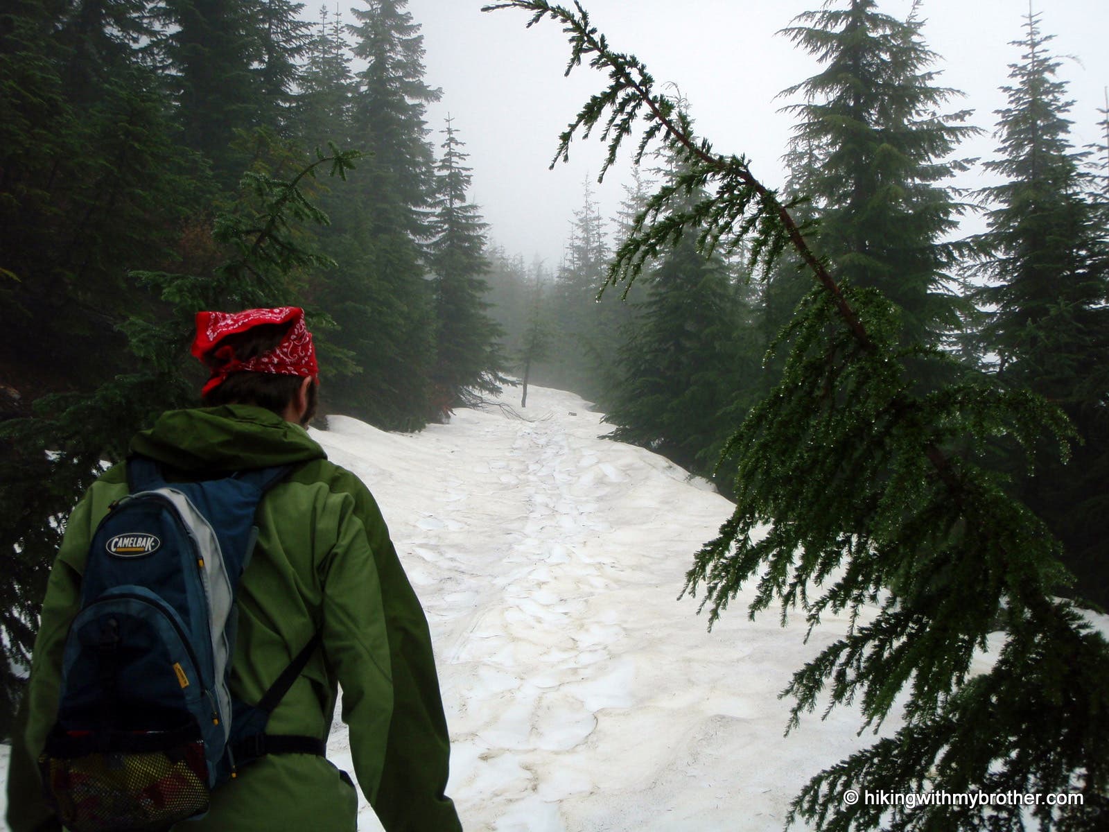
A hiker near the start of the Mt. Catherine trail, also popular with snowshoers and skiers.
Marker
Location: 47.369292, -121.440983
Though it has a few signs, the Mt. Catherine Trail is easy to follow.
Foggy
Location: 47.371762, -121.429095
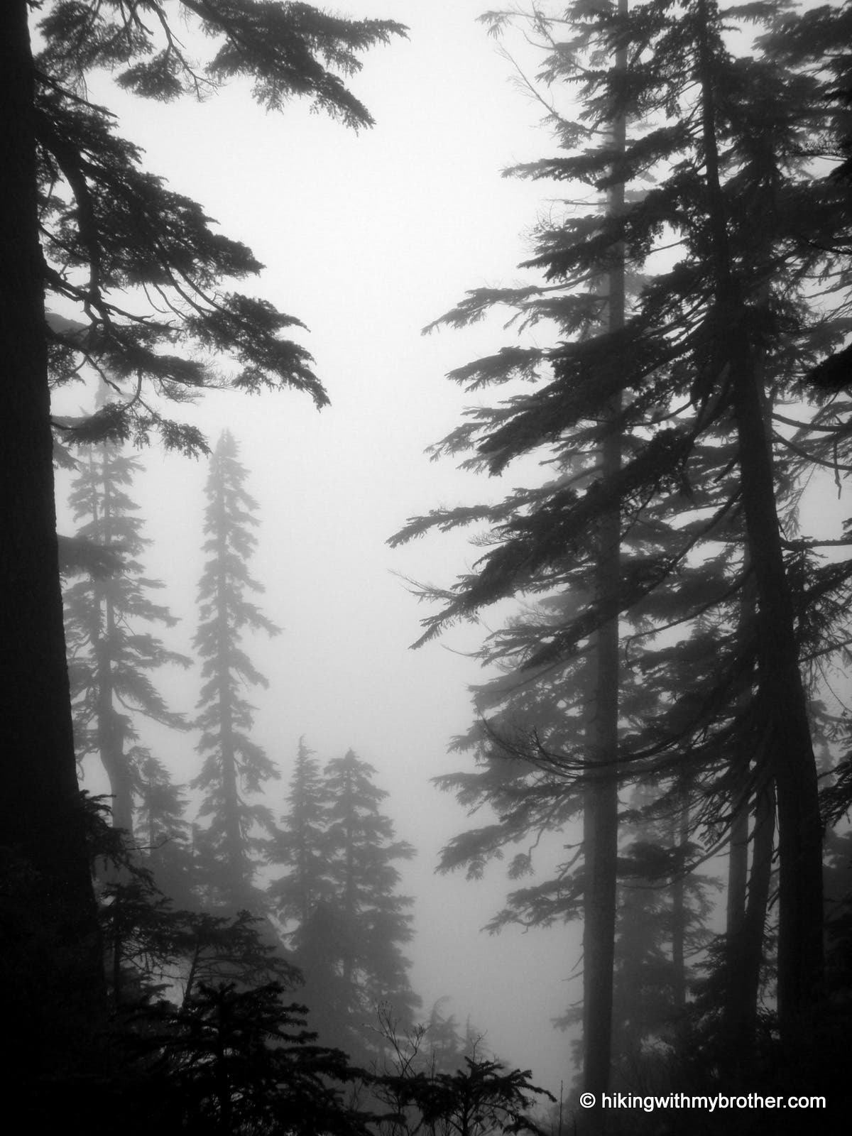
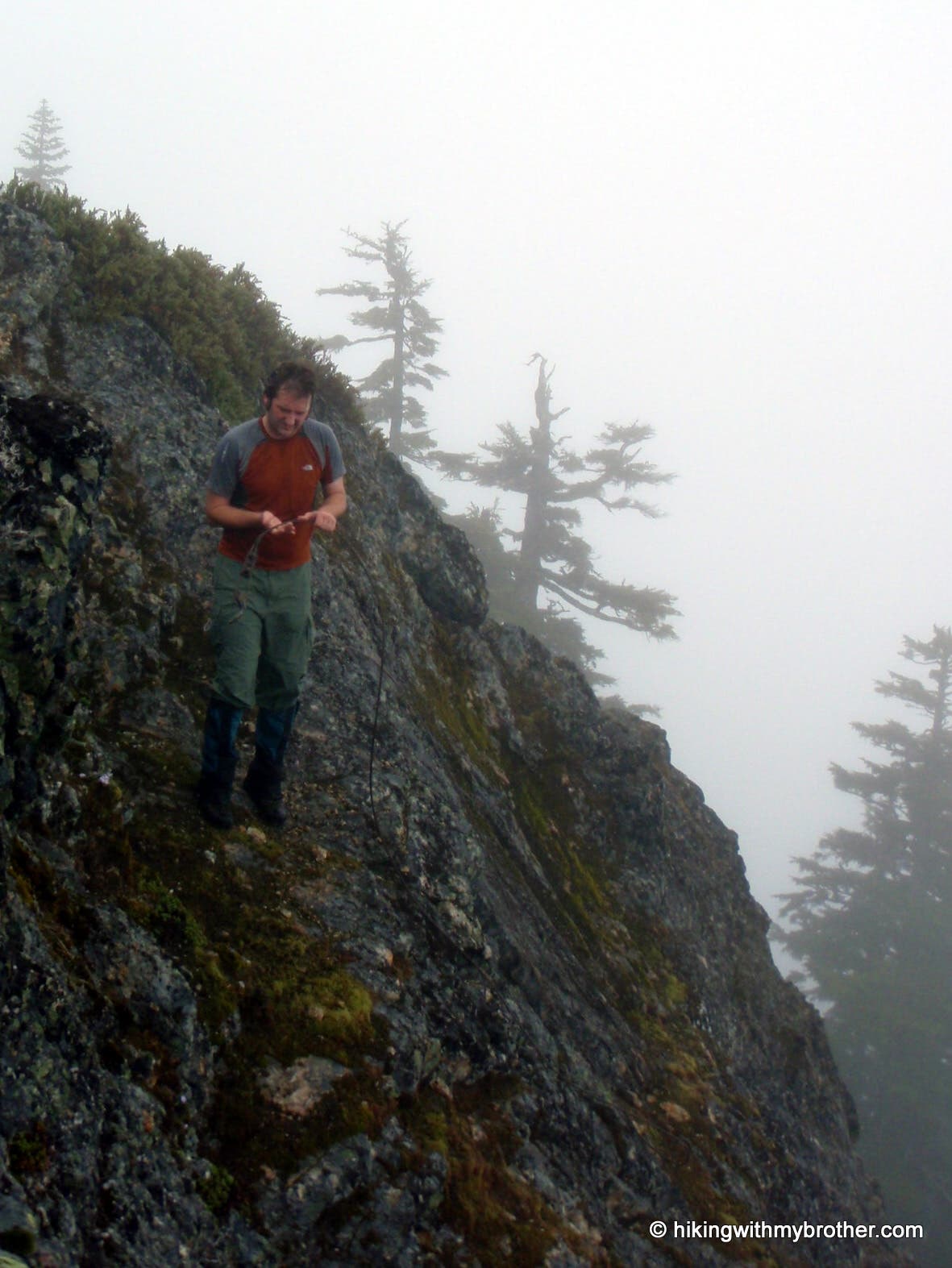
Fog sometimes shrouds the mountains, but on clear days expect far-off views of surrounding peaks and close-ups of clear cut hillsides.
Foggy
Location: 47.372344, -121.426649
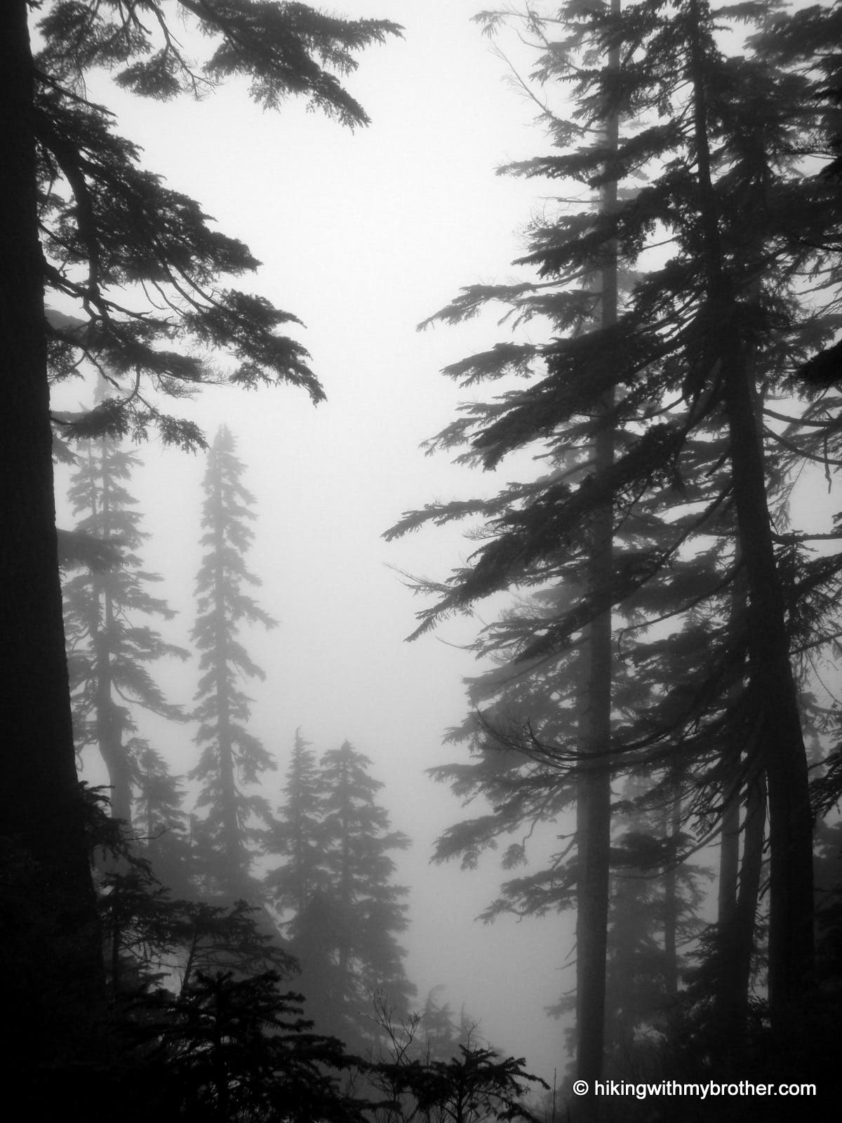
A hiker near the summit looking for a view through the clouds.
Summit
Location: 47.372286, -121.426821
There are some small rocky cliffs near the summit which you can explore with some mellow scrambling.