Seattle, WA: Minotaur Lake

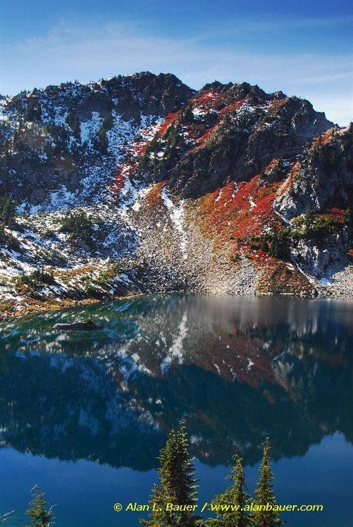
This 3.4-mile hike starts with a stiff climb that unfurls up the mountainside—you’ll gain 1,300 feet in the first mile. The trail climbs through a thick conifer corridor, offering several resting points with picturesque views of Nason Ridge and a trailside creek. At .8 mile, the terrain levels out for a well-earned cruise across lush meadows speckled with huckleberries and seasonal wildflowers—you’ll also pass a small waterfall. Minotaur Lake comes into view after 1.4 miles of hiking. On wind-free days, the rugged slopes and ridges surrounding the lake are reflected in Minotaur’s pristine, glassy waters. From here, the route ascends the ridge separating Minotaur Lake and Theseus Lake where panoramic views extend in every direction.
-Mapped by Alan Bauer, Alan Bauer Photography


Trail Facts
- Distance: 5.5
Waypoints
MIN005
Location: 47.8362731933594, -121.033416748047
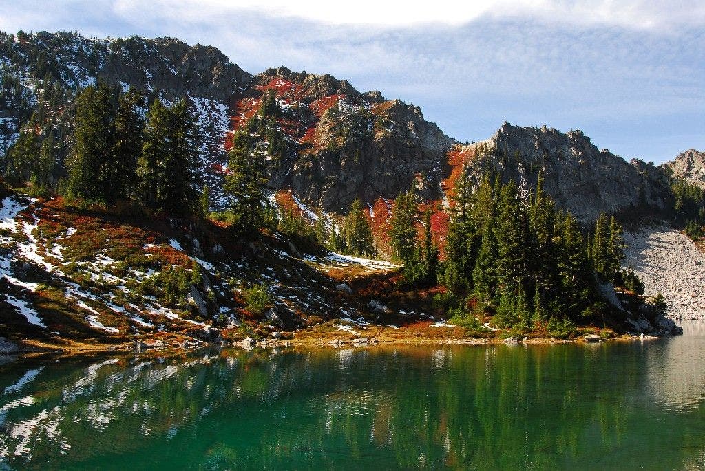
Trail bends to the NE and levels out. Wind through lush meadows speckled with huckleberries, early summer wildflowers, and (in fall) brilliantly colored foliage
MIN002
Location: 47.8294486999512, -121.030120849609
Catch your breath overlooking the creek. Ahead, keep plowing up steep, forested terrain; views of the creek fade away until higher elevations
MIN003
Location: 47.8318634033203, -121.031616210938
Turn around for southeast views of Rock Mountain’s barren slopes rising up from Nason Ridge, then continue plunging upward for more steep climbing
MIN004
Location: 47.8354187011719, -121.03343963623
Pass a boundary sign marking the entrance into Henry Jackson Wilderness. Ahead, breathing becomes easier as trail levels out
MIN007
Location: 47.8430938720703, -121.034507751465
Sounds of the tumbling trailside creek can still be heard as path briefly climbs a steep, open slope scattered with silver snags from a previous fire. Look for nesting birds in the dead trees
MIN009
Location: 47.8461761474609, -121.035850524902
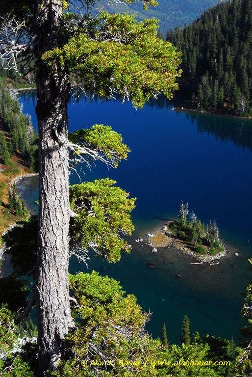
From the ridgetop separating Minotaur Lake and Theseus Lake, look down 500 feet to the deep blues of Theseus Lake on the right. The Chiwawa Mountains, White Mountains, and the Poet Ridge rise in the east. Want more views? Keep moving…
MIN008
Location: 47.8443260192871, -121.035255432129
Path meets the southeast tip of Minotaur Lake. On wind-free days, Labyrinth Mountain’s rugged ridgeline and scree-filled gullies are reflected in the lake’s glassy waters. Next, turn right for an easy crossing of the creek outlet; continue ascent of the ridge that rises up from Minotaur’s east banks
MIN001
Location: 47.8277893066406, -121.030693054199
From trailhead on north side of road, begin an immediate uphill climb into thick second-growth forest
MIN006
Location: 47.8406105041504, -121.03343963623
As you pass through semi-open meadows, listen and look for a small waterfall on the right—a scenic spot to grab a snack
MIN010
Location: 47.8477439880371, -121.037452697754
Panoramas extend in every direction; in early summer, wildflowers blanket the ridge meadows. Turn around and retrace steps to trailhead, or continue north-northwest on boot path toward Labyrinth Mountain for higher views overlooking the lakes and beyond
An island on Theasus Lake
Location: 47.8461761474609, -121.035827636719
Minotaur Lake
Location: 47.8468818664551, -121.036651611328
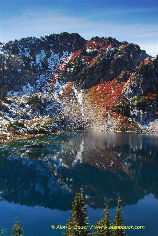
Minotaur Lake
Location: 47.8472595214844, -121.036880493164
Falls Colors
Location: 47.8477554321289, -121.037376403809