Seattle, WA: Lake Dorothy and Snoqualmie Lake

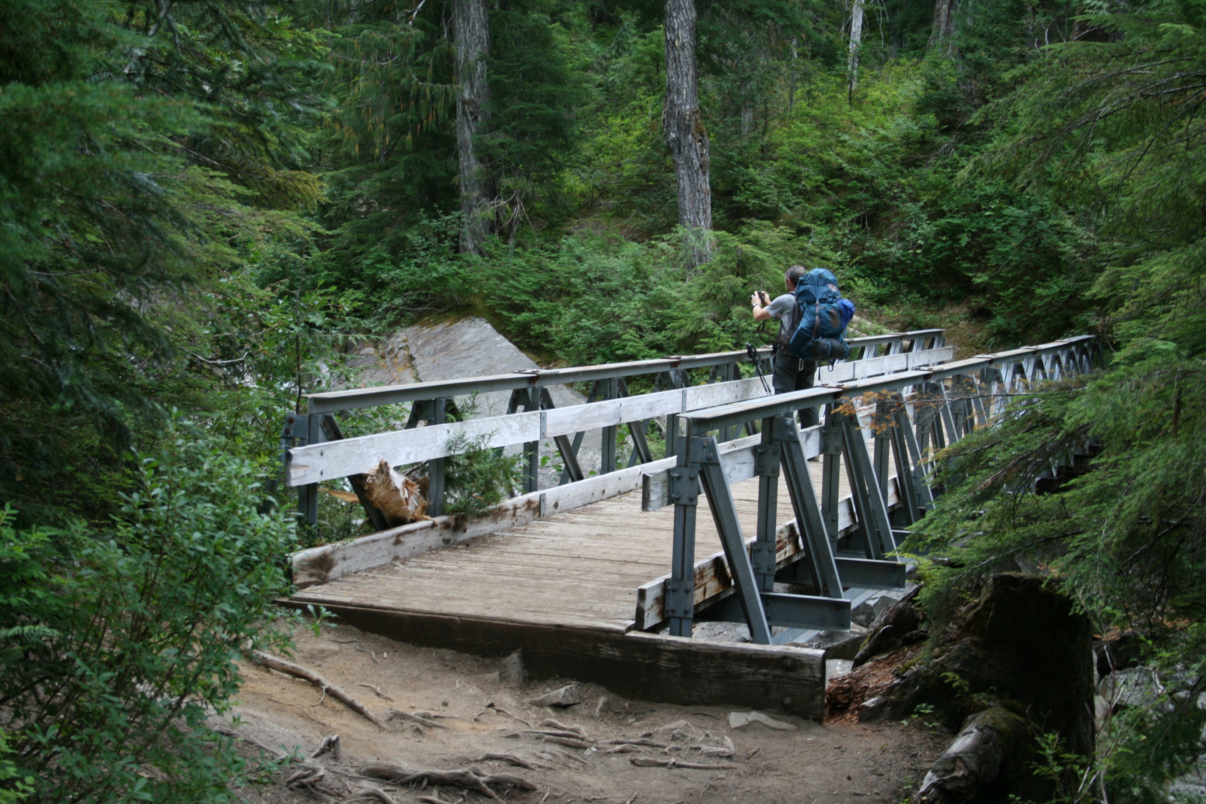
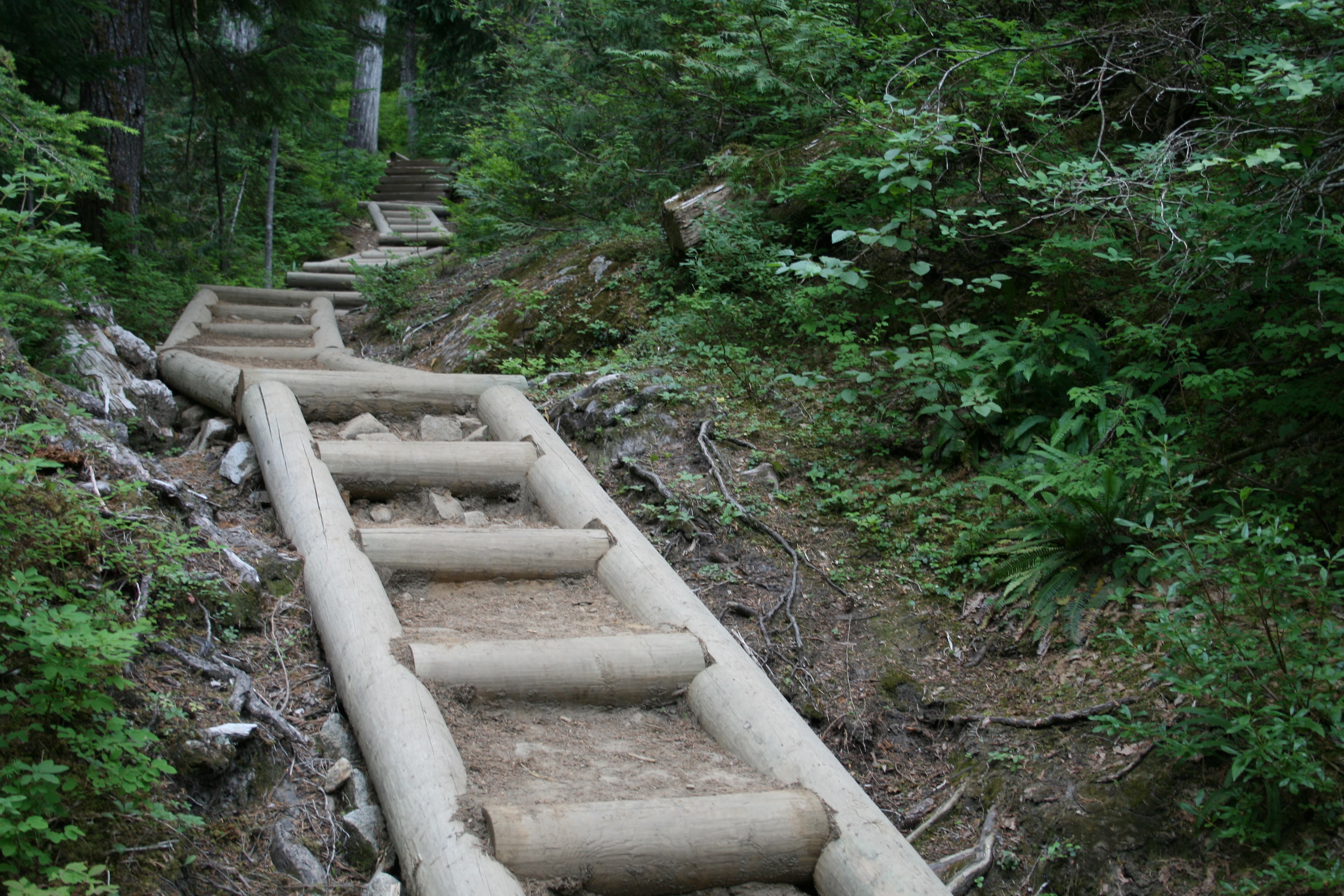
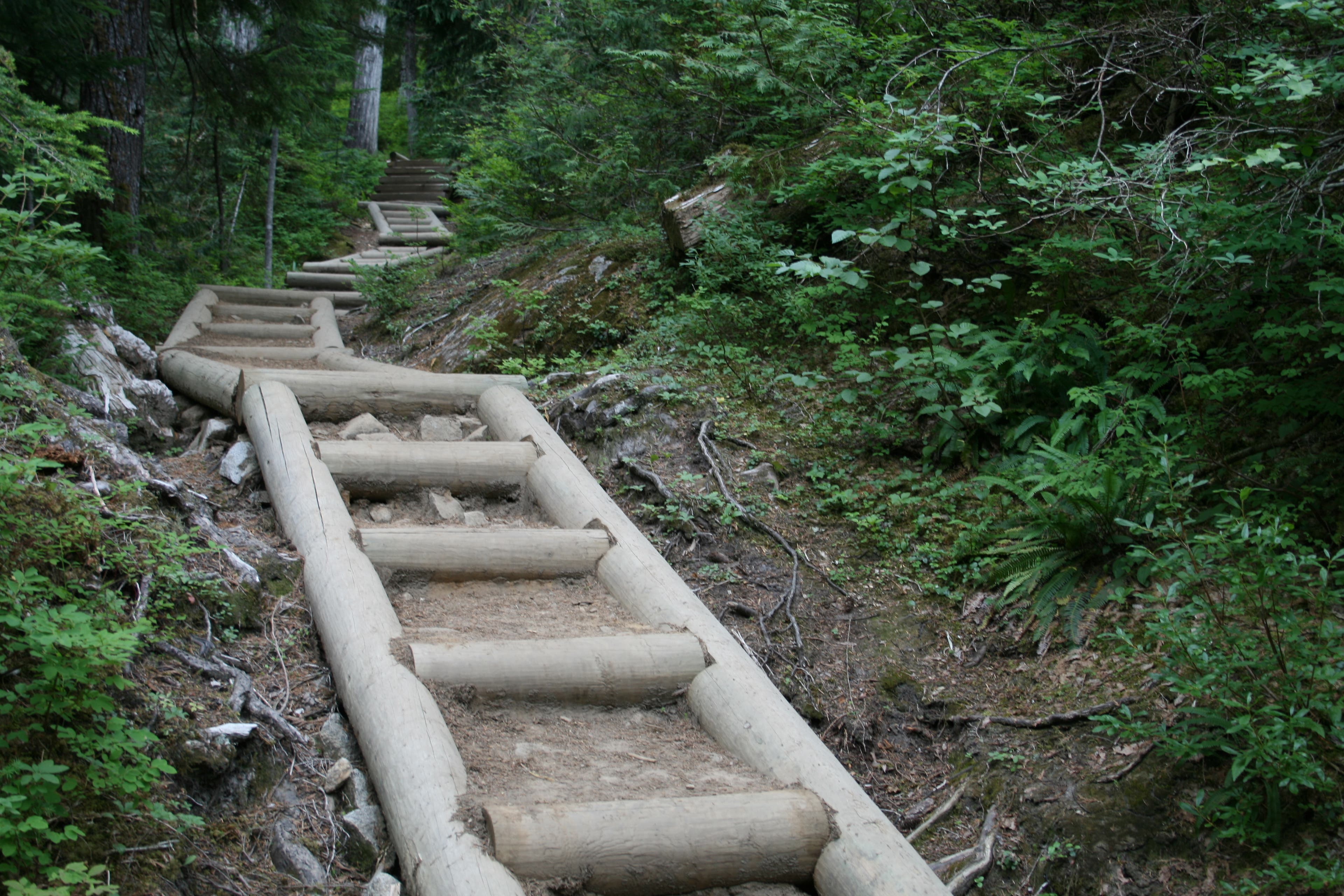
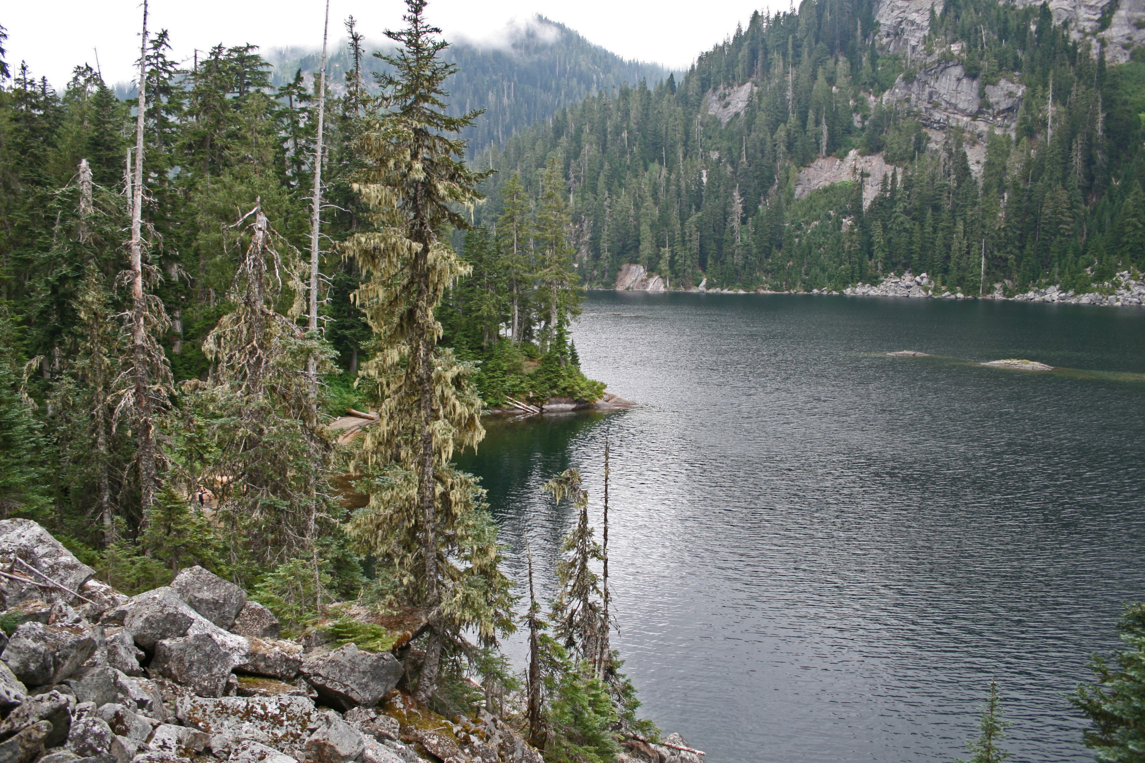
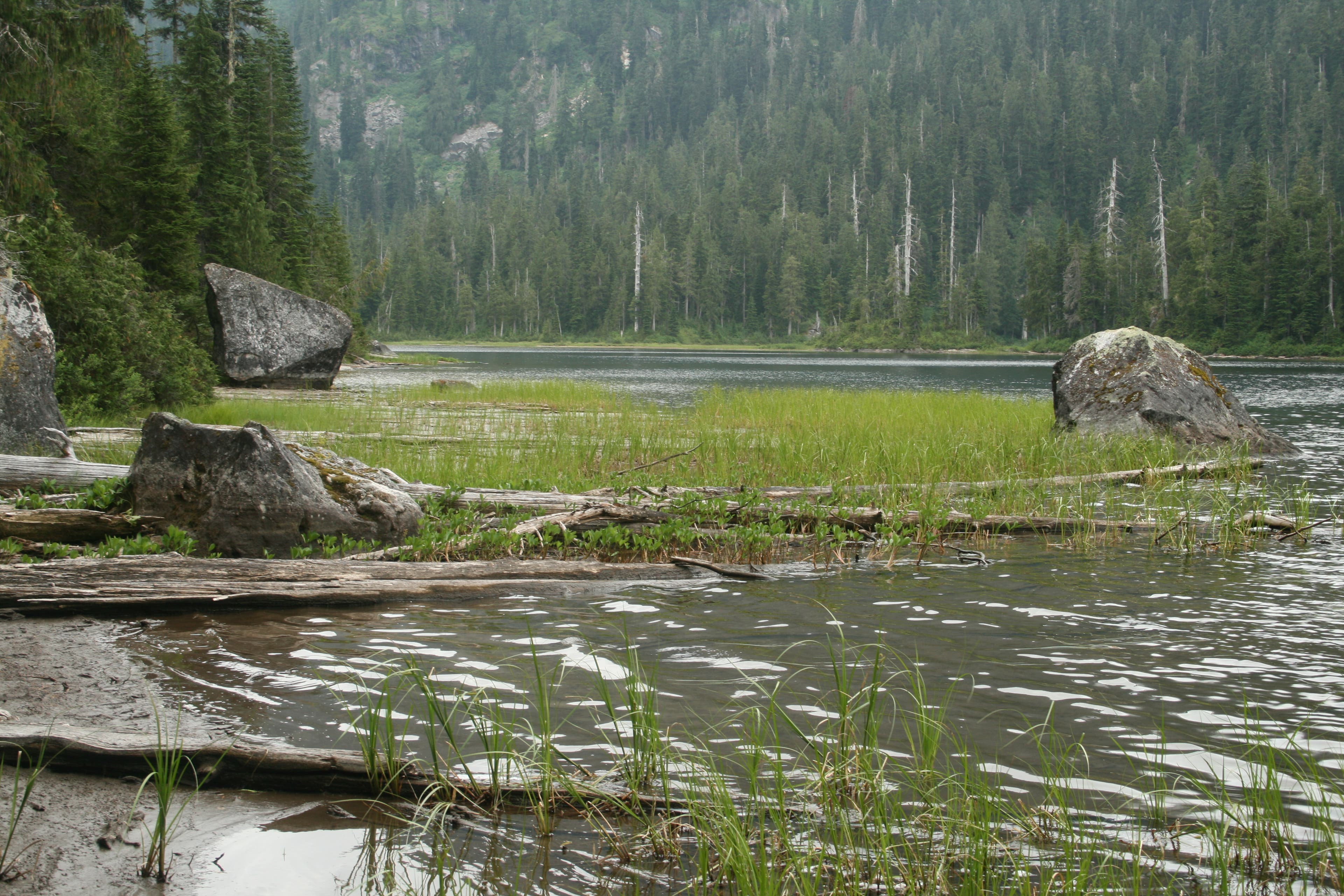
Save a weekend for this 12.8-mile trek that links four wooded lakes (Dorothy, Bear, Deer, and Snoqualmie) roughly 75 mile east of Seattle. From the parking area at the end of the road, follow Dorothy Lake Trail #1072 to the southeast. The trail crosses a bridge over Camp Robber Creek and climbs a set of log steps to the northern edge of Dorothy Lake. Ringed by large granite cliffs and sandy beaches, this finger-shaped lake is a popular destination for dayhikers and anglers.
From here, the trail travels 2.3 miles to the southern edge of the lake before heading west for a steep switchback climb to a pass above Bear Lake. At the top of the pass, drop down to Bear Lake (mile 5), then Deer Lake (mile 5.3). After a small crest, descend a series of gradual switchbacks to the banks of Snoqualmie Lake. Set up camp, then fish for trout, or soak in the warm water. Follow the same route back to the trailhead.
Info: Dorothy Lake Trail #1072
-Mapped by David Tate
Trail Facts
- Distance: 20.6
Waypoints
SNO001
Location: 47.609131, -121.386247
From the small parking area at the end of the road, follow Dorothy Lake Trail #1072 to the southeast. This trail leads to Dorothy, Bear, Deer, and Snoqualmie lakes.
SNO002
Location: 47.59945, -121.386416
A trail junction leads to the inlet of Dorothy Lake and to a day-use area. Take a rest on one of the sandy beaches surrounded by granite cliffs. Restrooms are available at the site and campsites are close by. Note: Dorothy Lake has day-use areas (with a no camp policy) and 32 designated campsites.
SNO003
Location: 47.575353, -121.376449
At the washed out bridge, use boulders to cross the creek.
SNO004
Location: 47.576794, -121.383691
Start a switchback climb to a pass above Bear Lake (and the route’s high point). Prepare for the steepest grade of the hike.
SNO005
Location: 47.575064, -121.388283
The switchbacks end just before reaching the high point.
SNO006
Location: 47.57654, -121.389688
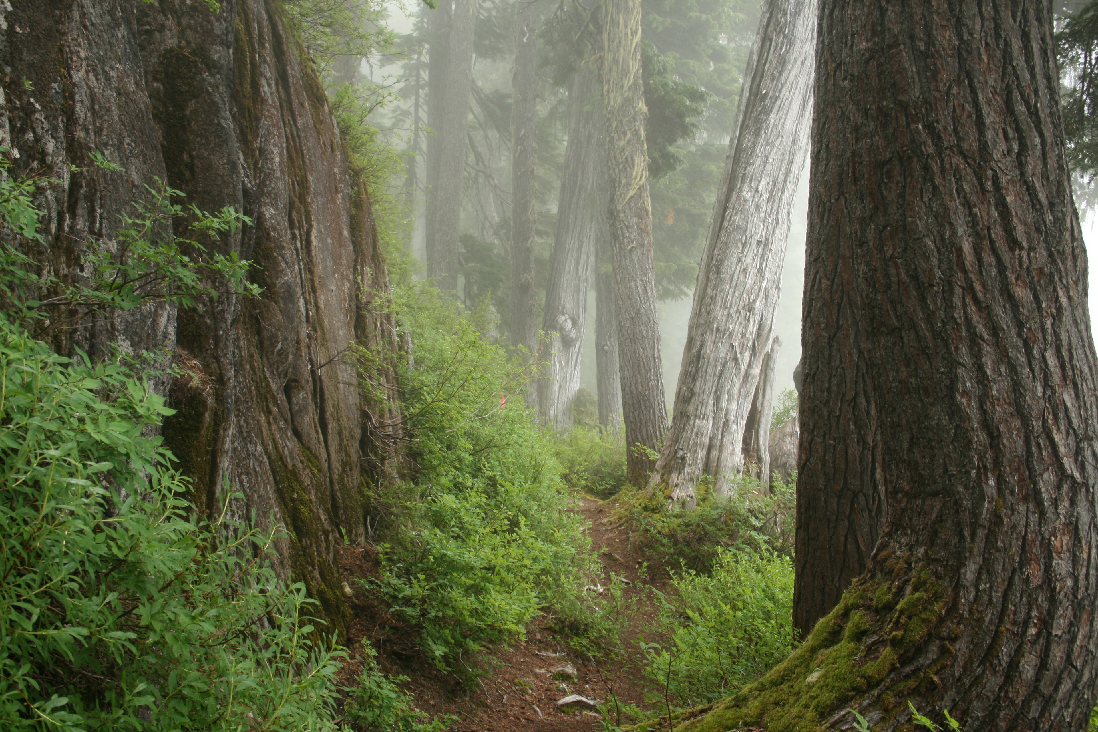
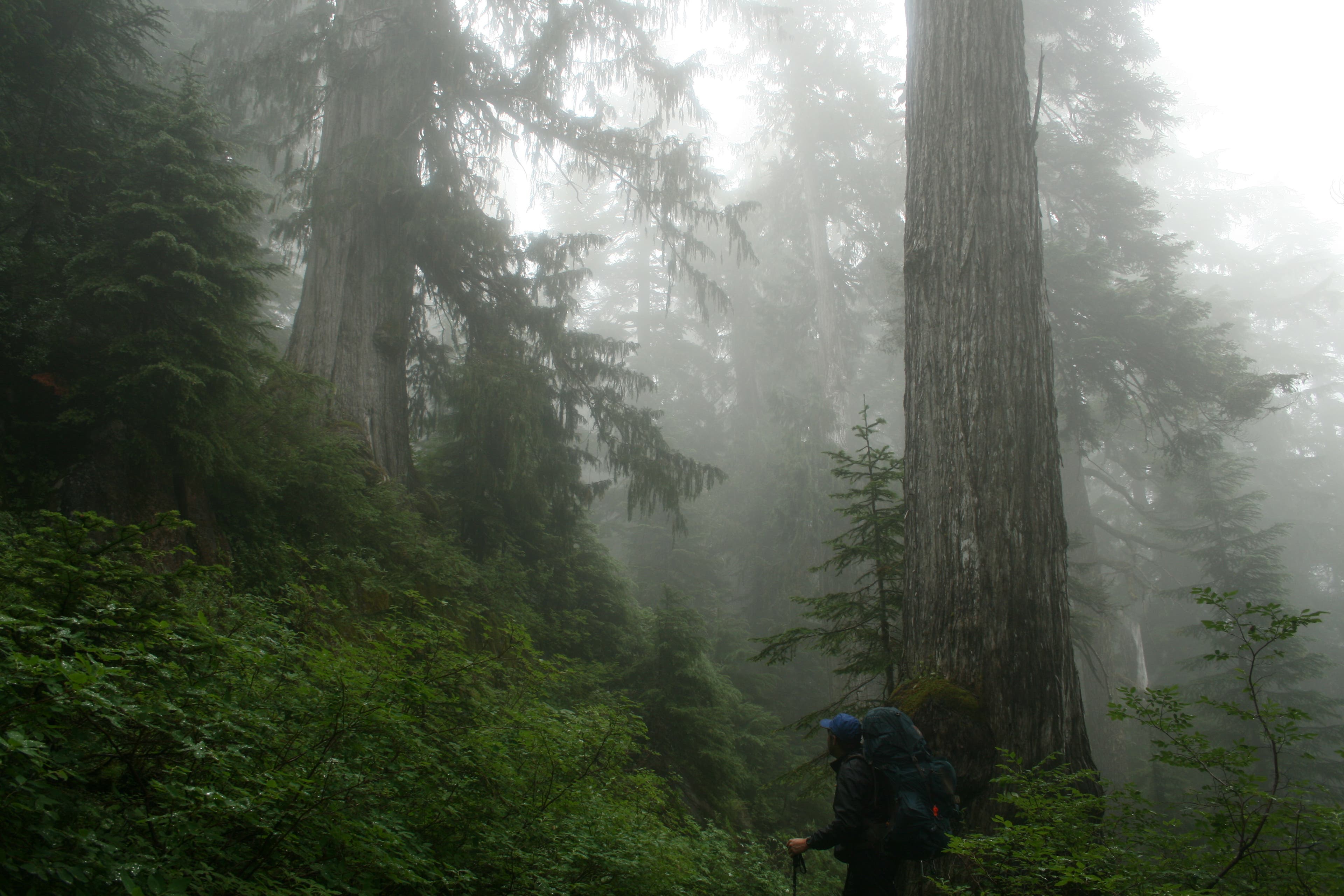
Crest the 3,864-foot pass (dotted with blueberries). Towering old-growth forest of cedars and firs flank the trail. Hemlock, which is also abundant, drops its cones everywhere.
SNO007
Location: 47.574673, -121.398218
Continue past Bear Lake for 0.3 mile to reach Deer Lake.
SNO008
Location: 47.57282, -121.402767
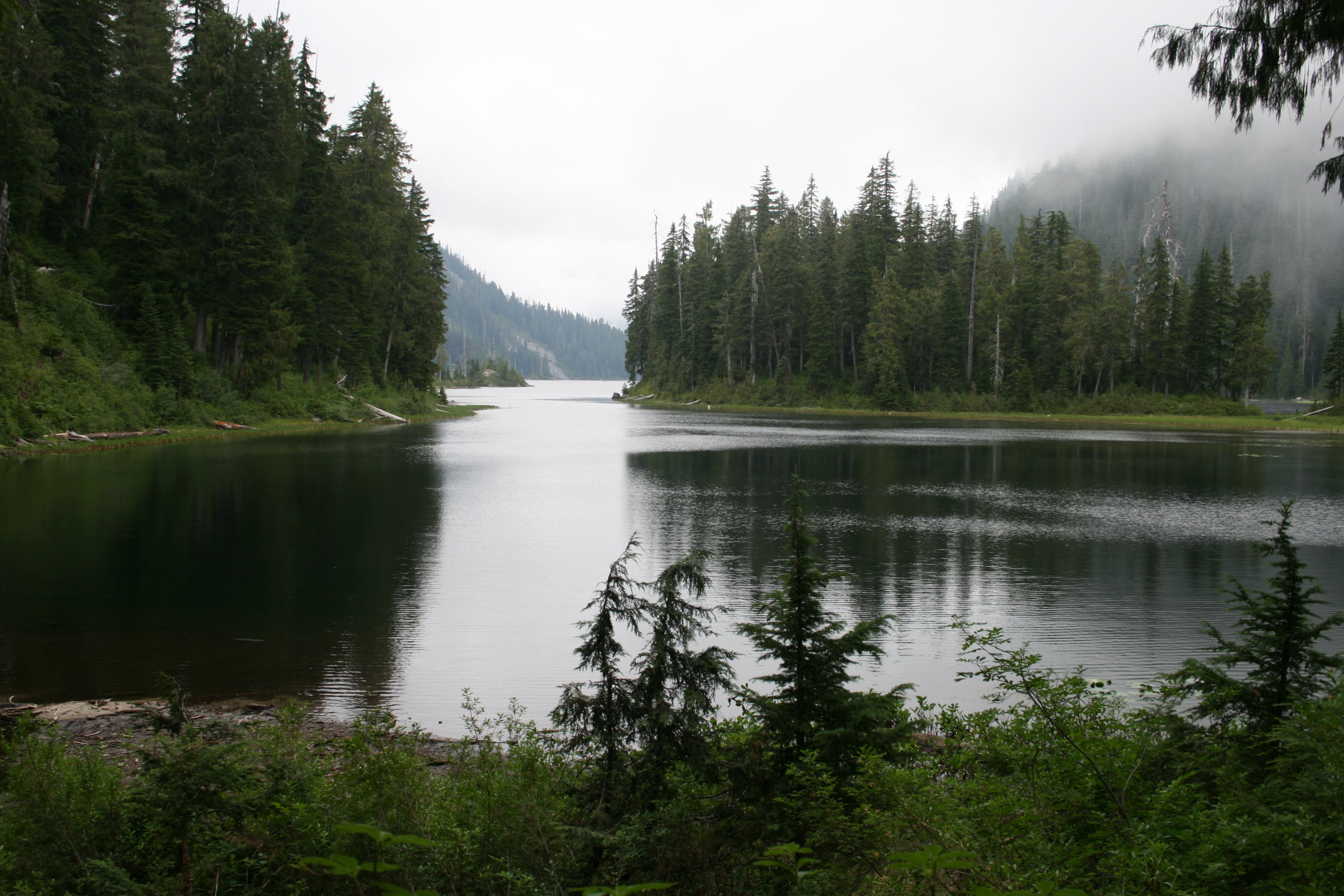
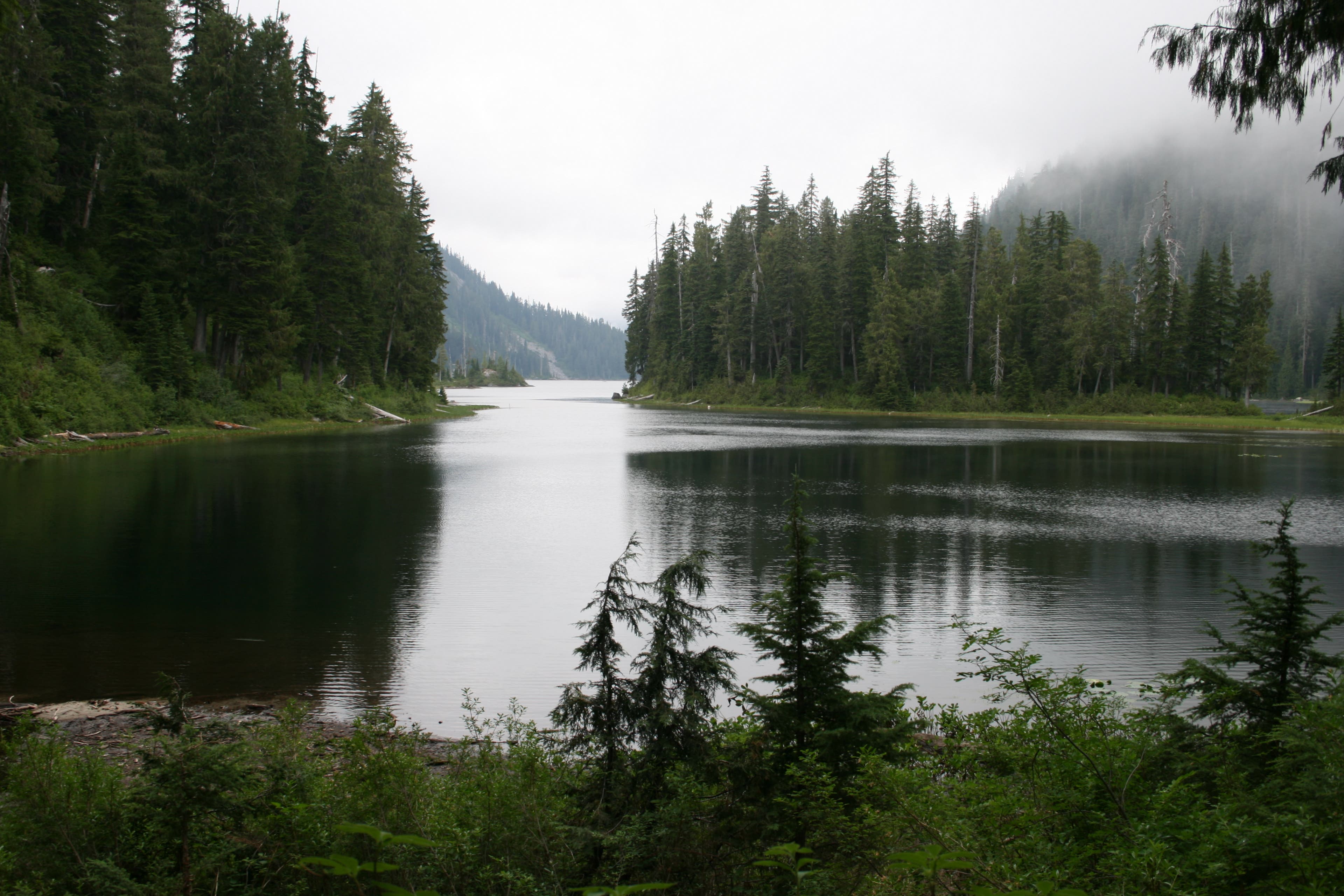
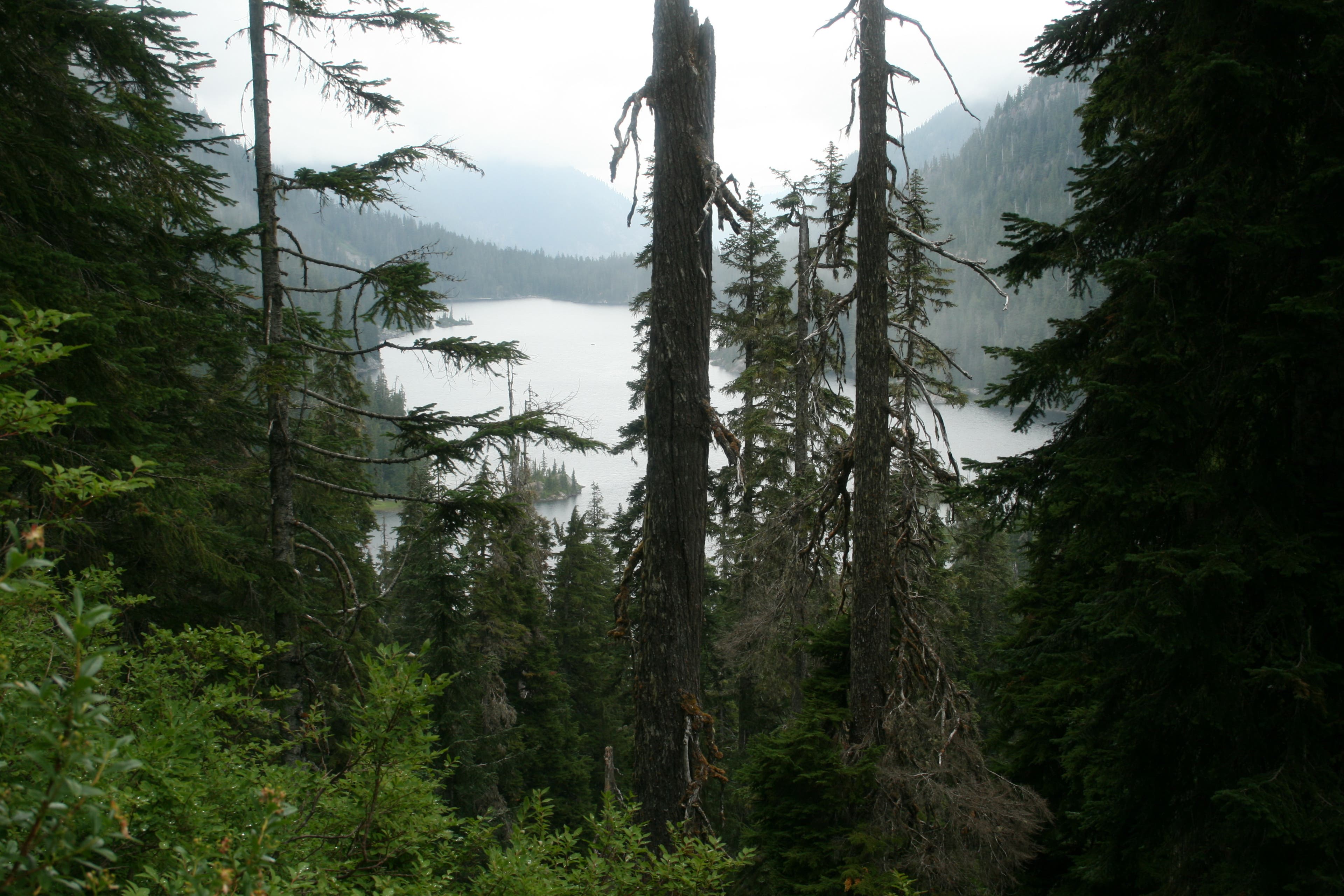
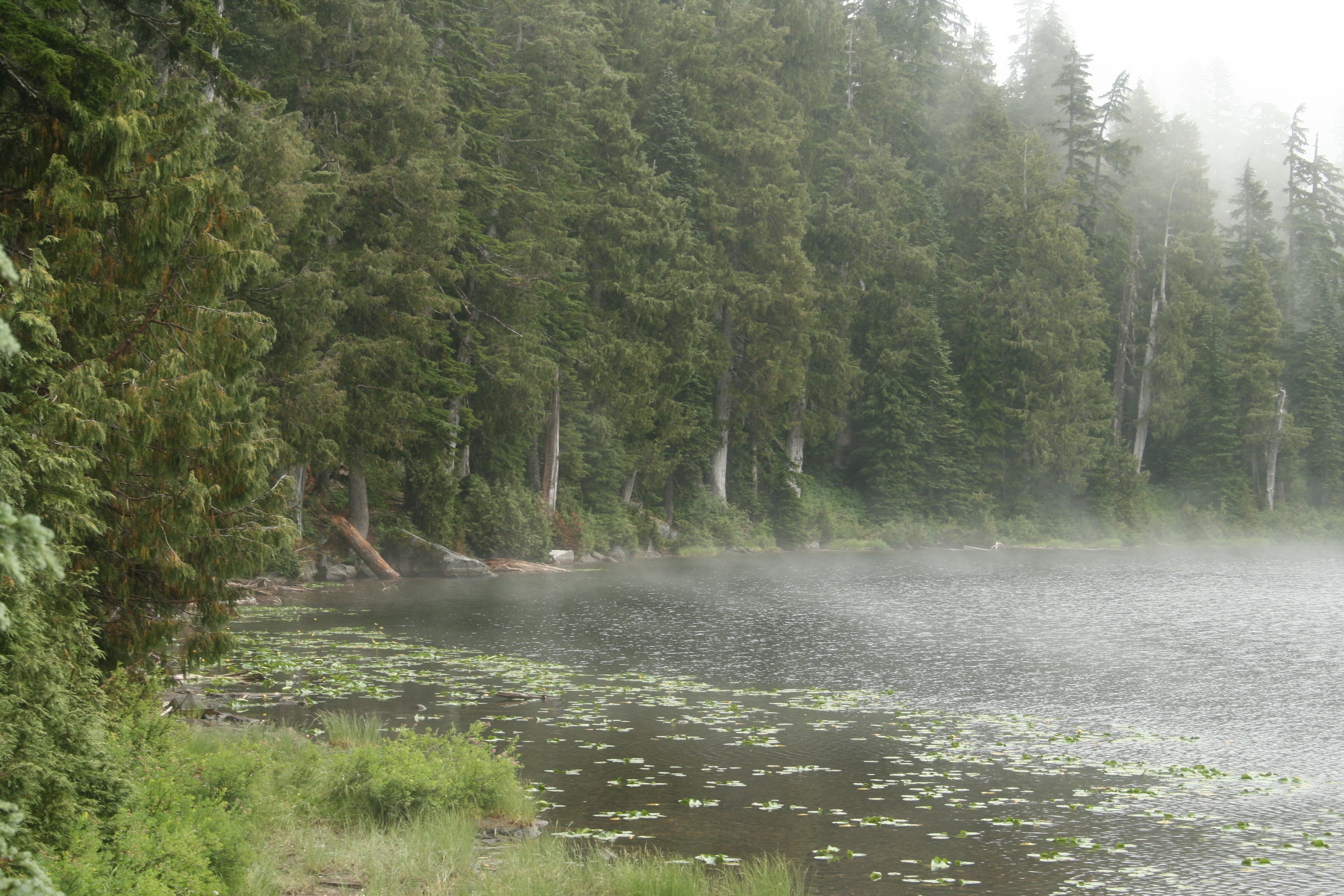
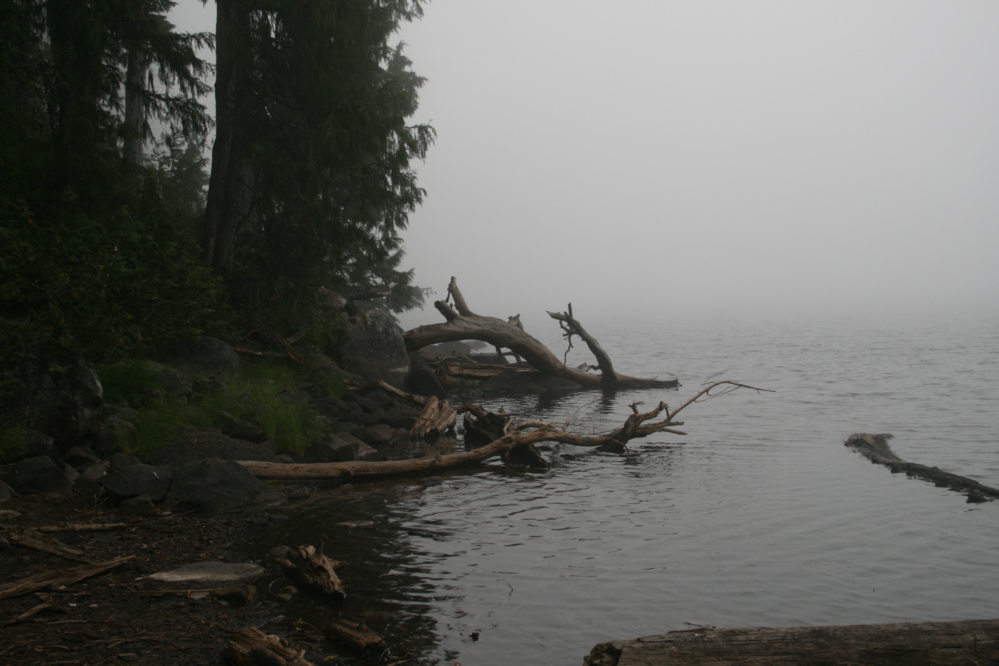
Continue along the western edge of Deer Lake toward Snoqualmie Lake. Like most other lakes along the trail, it can be completely shrouded in fog depending on the weather. Make sure you check the weather reports beforehand to maximize your view.
SNO009
Location: 47.570463, -121.40423
Reach a small crest before descending gradual switchbacks to Snoqualmie Lake.
SNO010
Location: 47.573001, -121.416296
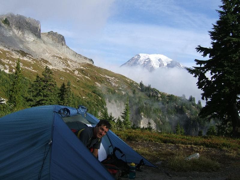
Campsites at the outlet of Snoqualmie Lake make for the perfect end to a dayhike. Pitch a tent, try your hand at catching a trout, and take a dip to relax. Next day: Follow the same route back to the trailhead.
Lake Dorothy
Location: 47.575303, -121.379828
A small island dots the lake.
Trailhead
Location: 47.609129, -121.386137
A small parking lot leads to the trailhead.
Bridge over Camp Robber Creek
Location: 47.603031, -121.379303
A two-lane bridge on Dorothy Lake Trail.
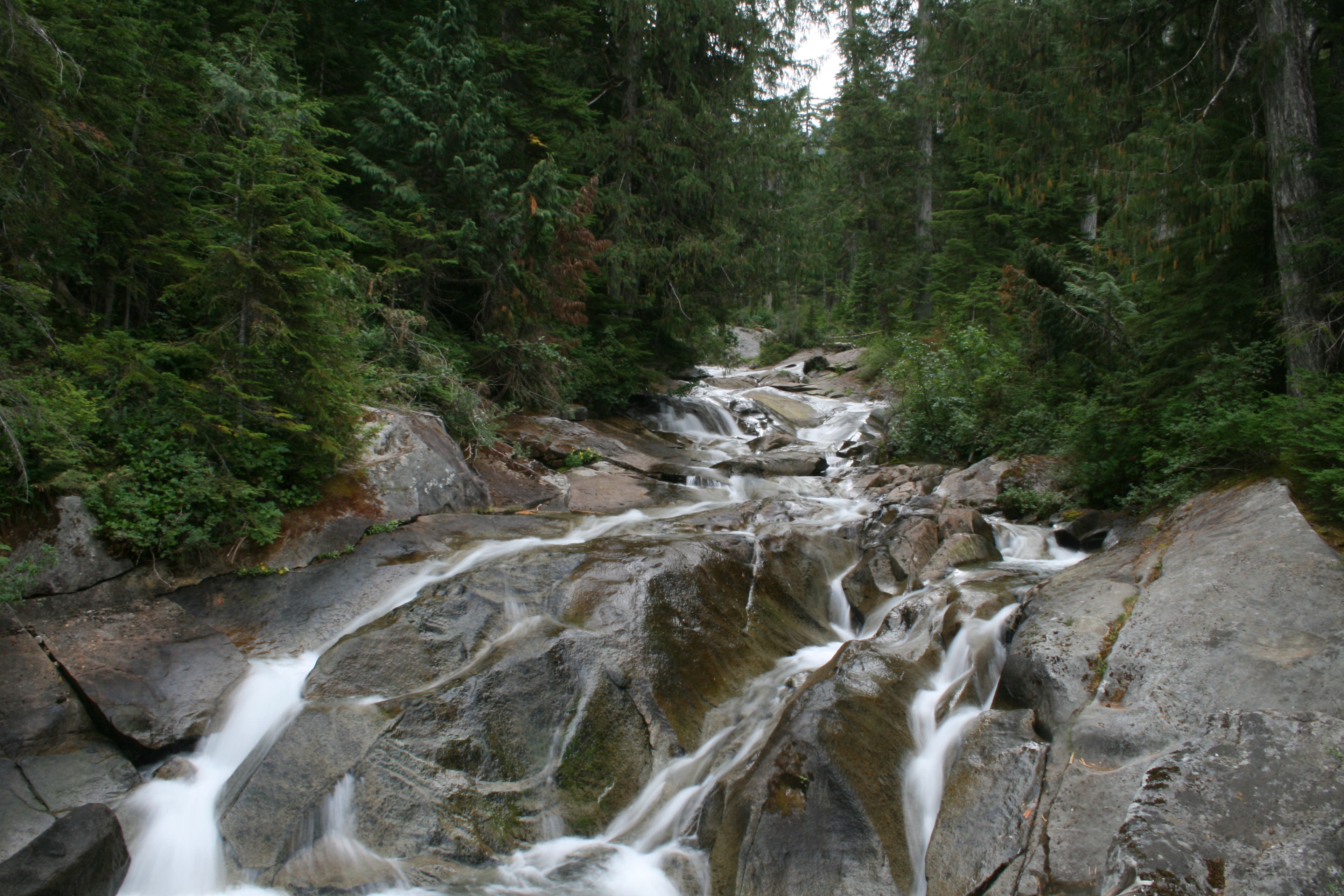
Camp Robber Creek
Location: 47.602575, -121.379228
The creek runs past solid granite and boulders.
Stairs
Location: 47.601895, -121.379035
The trail stairs along Lake Dorothy are excellently maintained.
Stairs
Location: 47.598611, -121.382446
More puncheon-style stairs on the way to Lake Dorothy
Lake Dorothy
Location: 47.595746, -121.383777
View towards the northern tip of the lake.
Lake Dorothy Beach
Location: 47.59126, -121.382232
A sandy area with a few campsites.
Southern End of Lake Dorothy
Location: 47.58055, -121.377897
The lake’s scenery changes drastically depending on where you stand.
Switchback Vews
Location: 47.574036, -121.386266
View towards Lake Dorothy from the switchbacks.
Planter
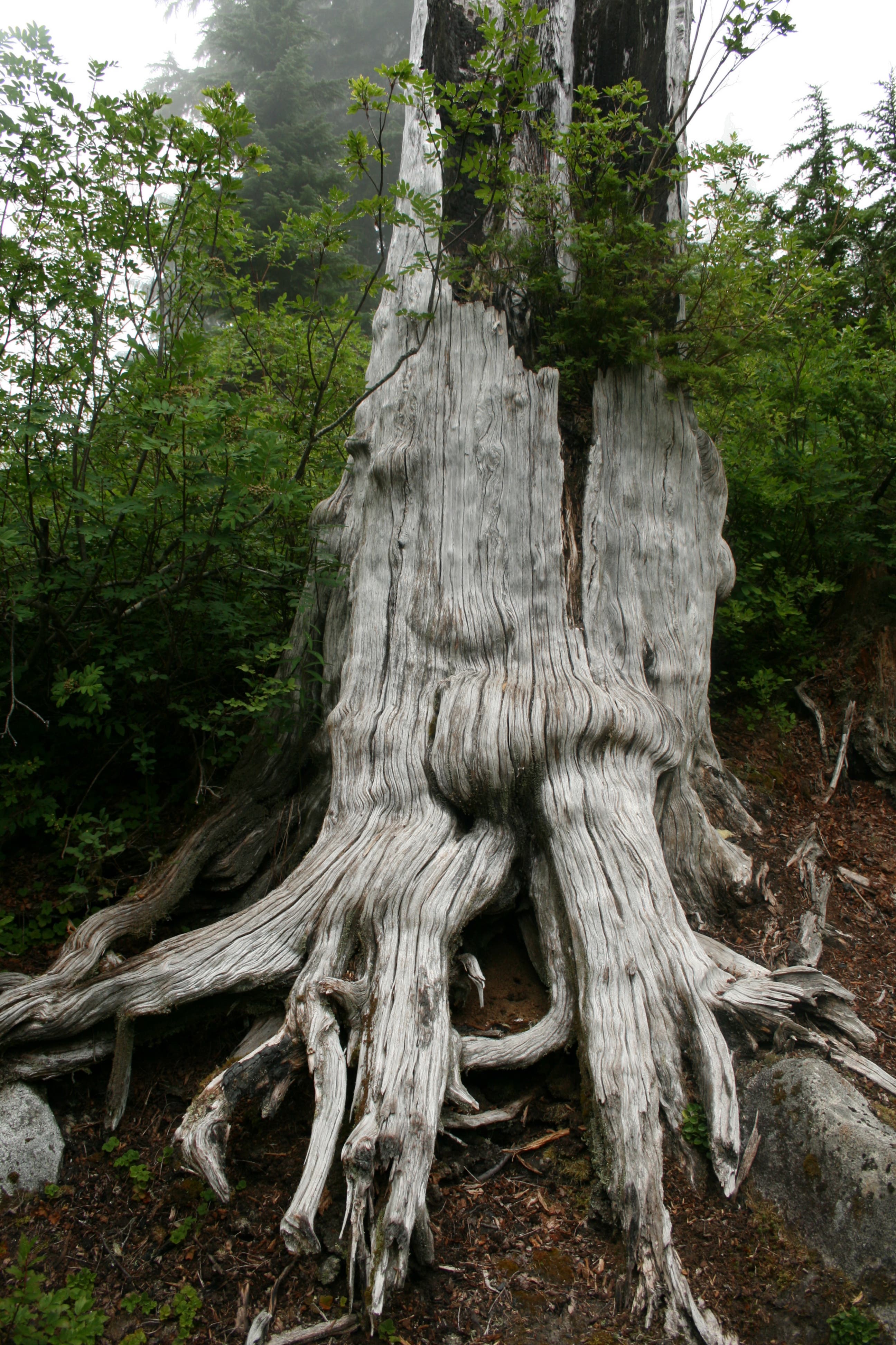
Location: 47.576757, -121.391501
Blueberries grow out of this natural “planter”.
Bear Lake Corridor
Location: 47.575512, -121.397789
The old-growth forest towers over the trail.
Land of Giants
Location: 47.57337, -121.398969
Massive old-growth cedars flank the trail.
Deer Lake
Location: 47.57117, -121.403604
The fog clears in time for a quick shot of the scenery.
Snoqualmie Lake
Location: 47.572501, -121.415201
Mist shrouds the lake.
Campsite
Location: 47.573001, -121.416167
A campsite large enough to accommodate a couple of 3-person tents.