Seattle, WA: Index Town Wall

The Index Town Wall began to be known as a climbing area in the late 1950s, and by early 1960s many routes had been hammered into the cliffs. Over the years the cliffs become one of the most popular and easily accessible climbing features in Washington. A large parking area is a quarter mile outside of town to the west. There are a number of names for this road, which depending on your map, might be noted as “Ave. A,” “Old Gold Bar-Index Road,” or “Reiter Road.” It is the only road leading downstream from Index, so should not be too hard to find.
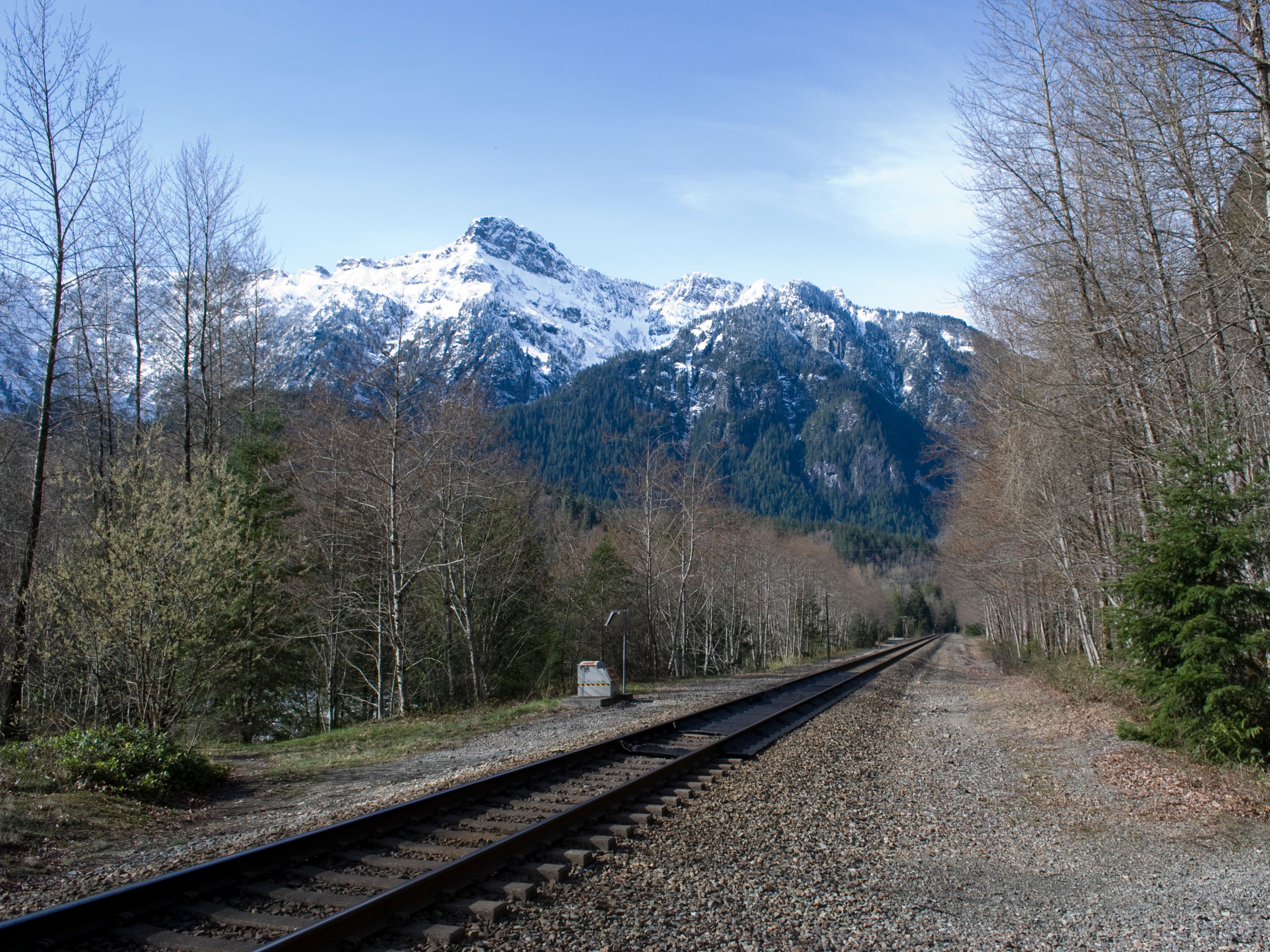
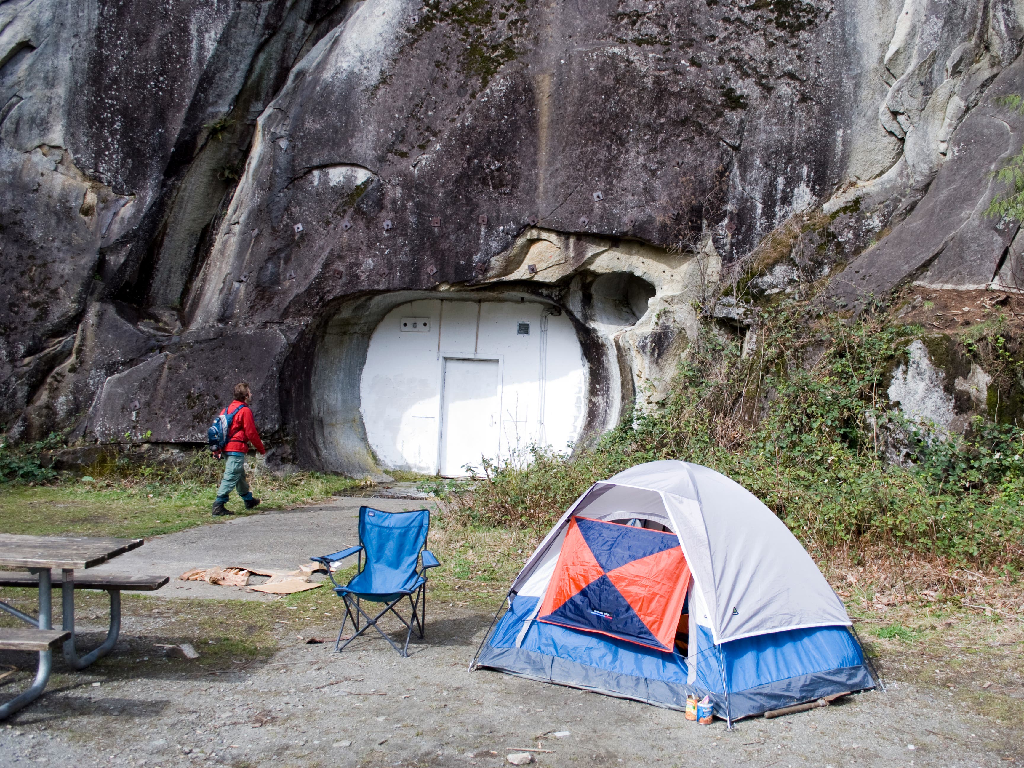
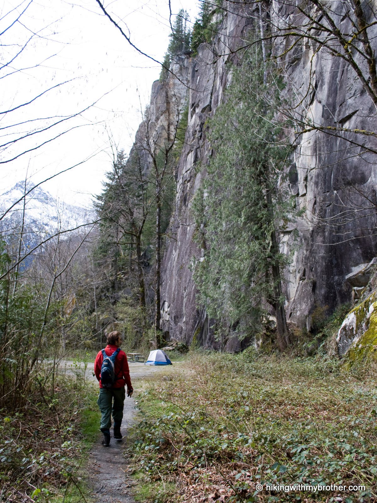
Take the obvious trail up to the railroad tracks, cross, and avoid being lured toward the prominent sign to the left. Instead, head right and follow the tracks for a couple hundred yards to a road turning toward the wall. Follow this to a clearing at a set of white doors closing off an old mining tunnel. From here, head right into the trees to find the trail and start switchbacking up through the young forest, always choosing the path that continues uphill.
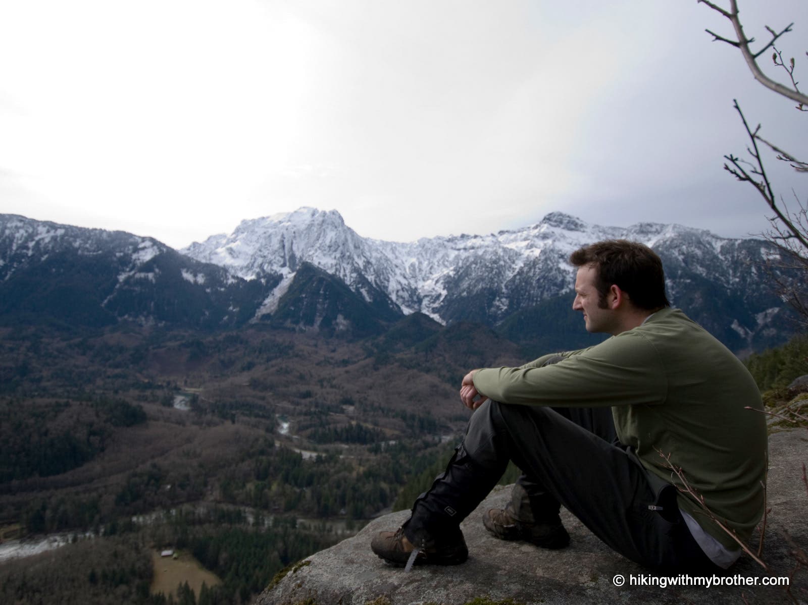
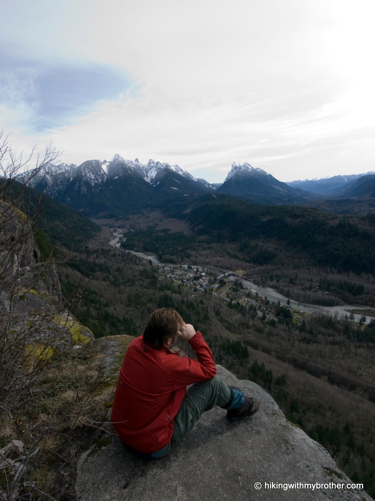
The route is a steady upward slog the entire way to the top of the cliffs. The bootpath spills out onto an old forest road at the Forks of the Sky State Park boundary. Head to the right to get to the views you’ve been climbing for. The main viewpoint is likely to be occupied, so push past along the faint network of climbers’ trails to find suitable solitude. With the tiny town of Index far below, Mt. Index and Baring Mountain dominate the southern skyline, and you can make out Gunn Peak and Merchant Peak to the east.
Mapped by Nathan & Jeremy Barnes Hiking With My Brother
Trail Facts
- Distance: 2.1
Waypoints
IND001
Location: 47.817636, -121.57125
From the gravel parking lot, head up the path toward the railroad tracks.
IND002
Location: 47.817839, -121.571798
Cross the railroad tracks, turn right and follow the gravel road paralleling the tracks.
IND003
Location: 47.819471, -121.569051
Drilling test site, and small camping area.
IND004
Location: 47.819012, -121.568069
The climber’s trail heads up to the north.
IND005
Location: 47.821327, -121.567664
Trail junction; turn right. Left leads to climbing area.
IND006
Location: 47.821727, -121.567326
Trail junction; turn left to continue to the top. Right leads to the bottom of the cliffs.
IND007
Location: 47.822671, -121.569192
A short path leads to a viewpoint.
IND008
Location: 47.82355, -121.568946
Trail ends at a road fenced with a park boundary sign. Turn right, cross over the fence, and continue up the road.
IND009
Location: 47.823524, -121.56738
Road ends in a small clearing. This is the main overlook on top of Index Town Wall
IND010
Location: 47.824043, -121.565807
Another small overlook.
Tracks and Mt. Persis
Location: 47.818068, -121.57107
Camp and Drilling Site
Location: 47.819386, -121.569042
Wall and Trail
Location: 47.819278, -121.568034
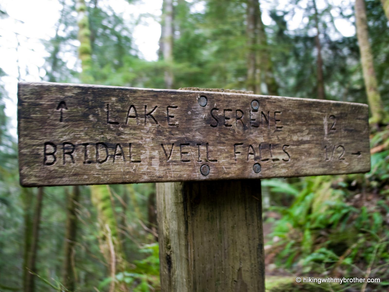
Signpost
Location: 47.823565, -121.568828
On the Ledge
Location: 47.823514, -121.56739
Hanging out on the ledge of Index Town Wall. Mt. Index and Mt. Persis are across the valley.
Index View
Location: 47.823532, -121.567326
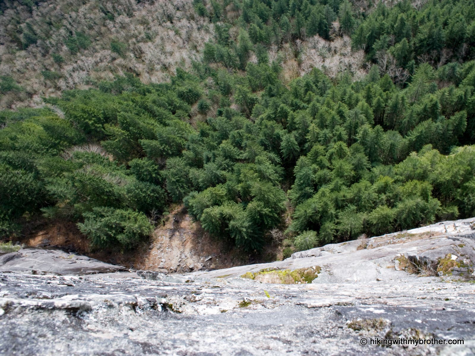
Straight Down
Location: 47.824033, -121.56577