Seattle, WA: Heybrook Lookout
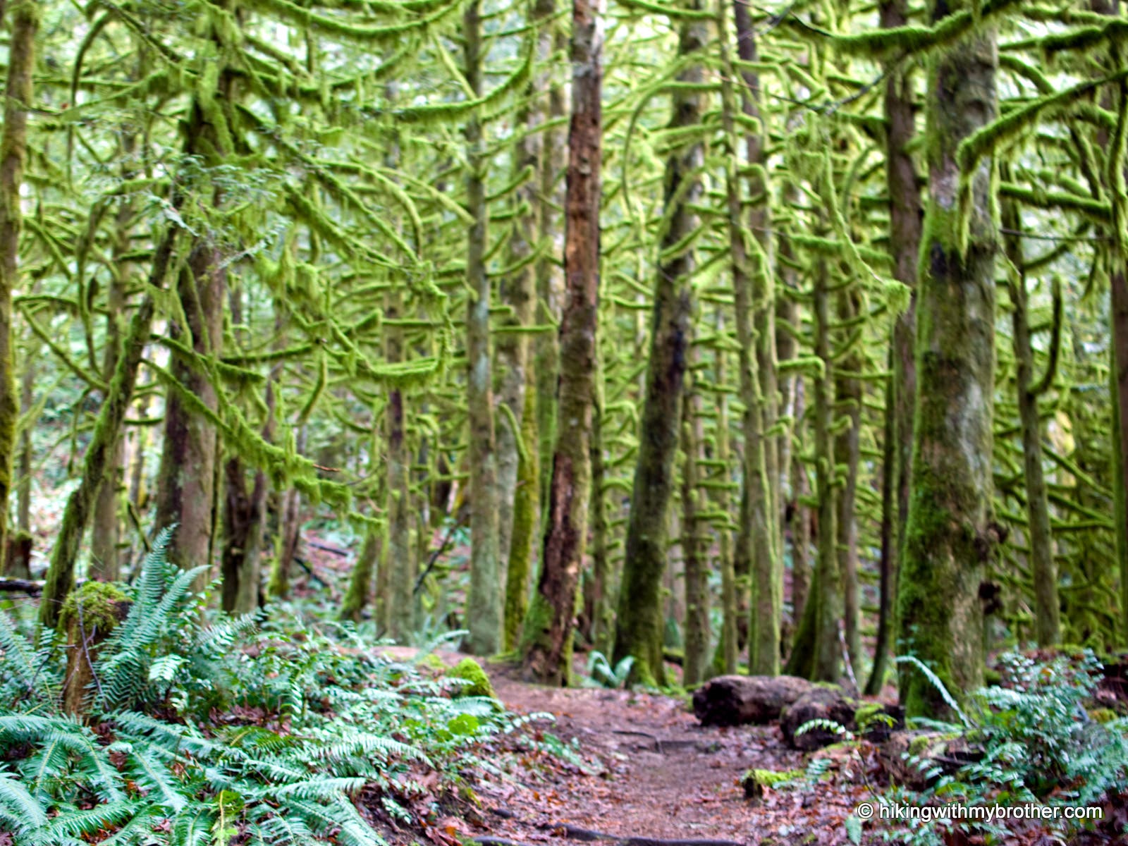
East of the town of Index, along the Stevens Pass corridor, the Heybrook Lookout Trail #1070 is a just shy of a mile but gains 900’ to a still-operational fire lookout. Much of this second-generation forest is still recovering from clearcutting in the 1920s, but the shaded, mossy trail makes for a pleasant, easy-access hike.
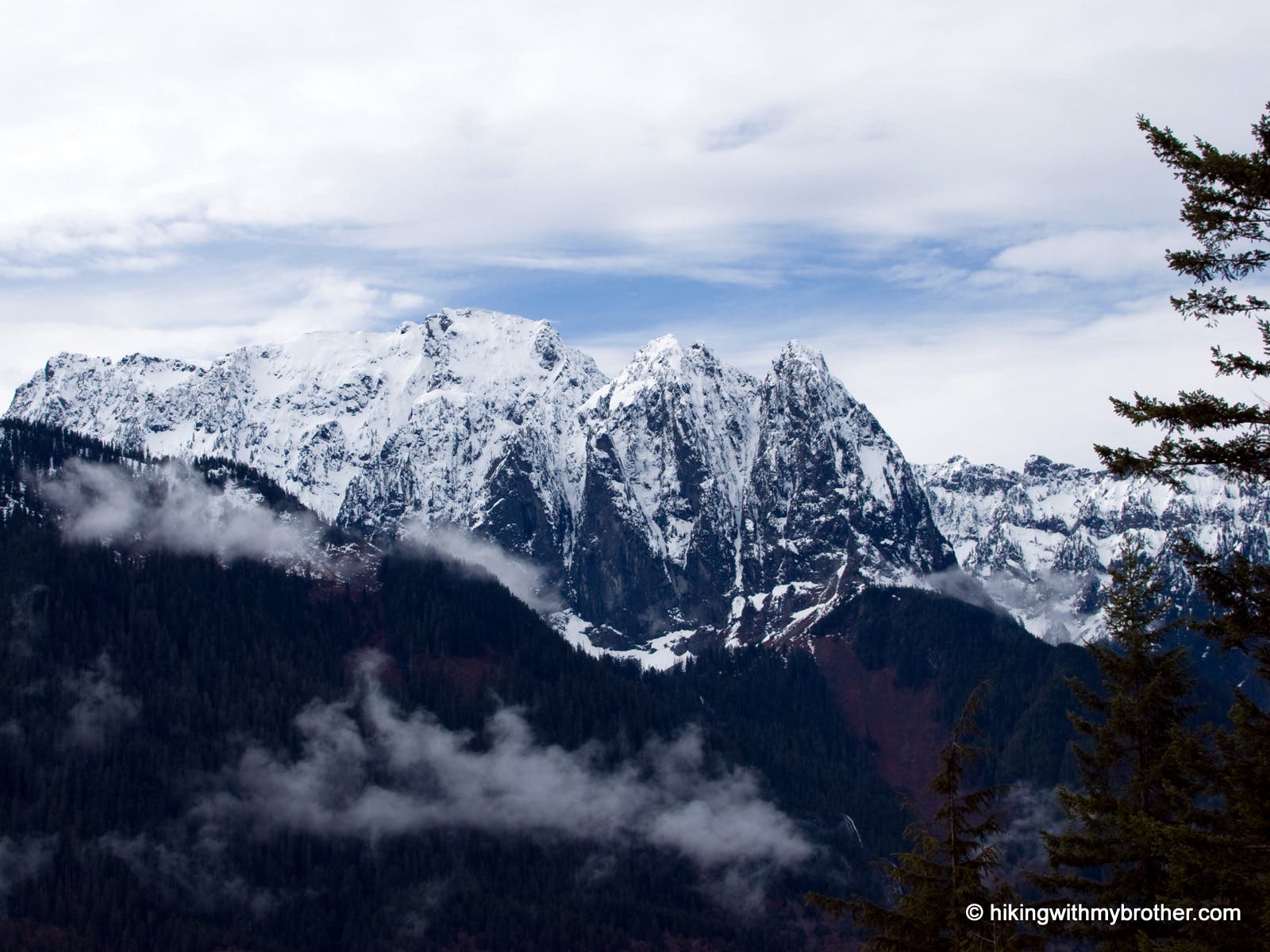
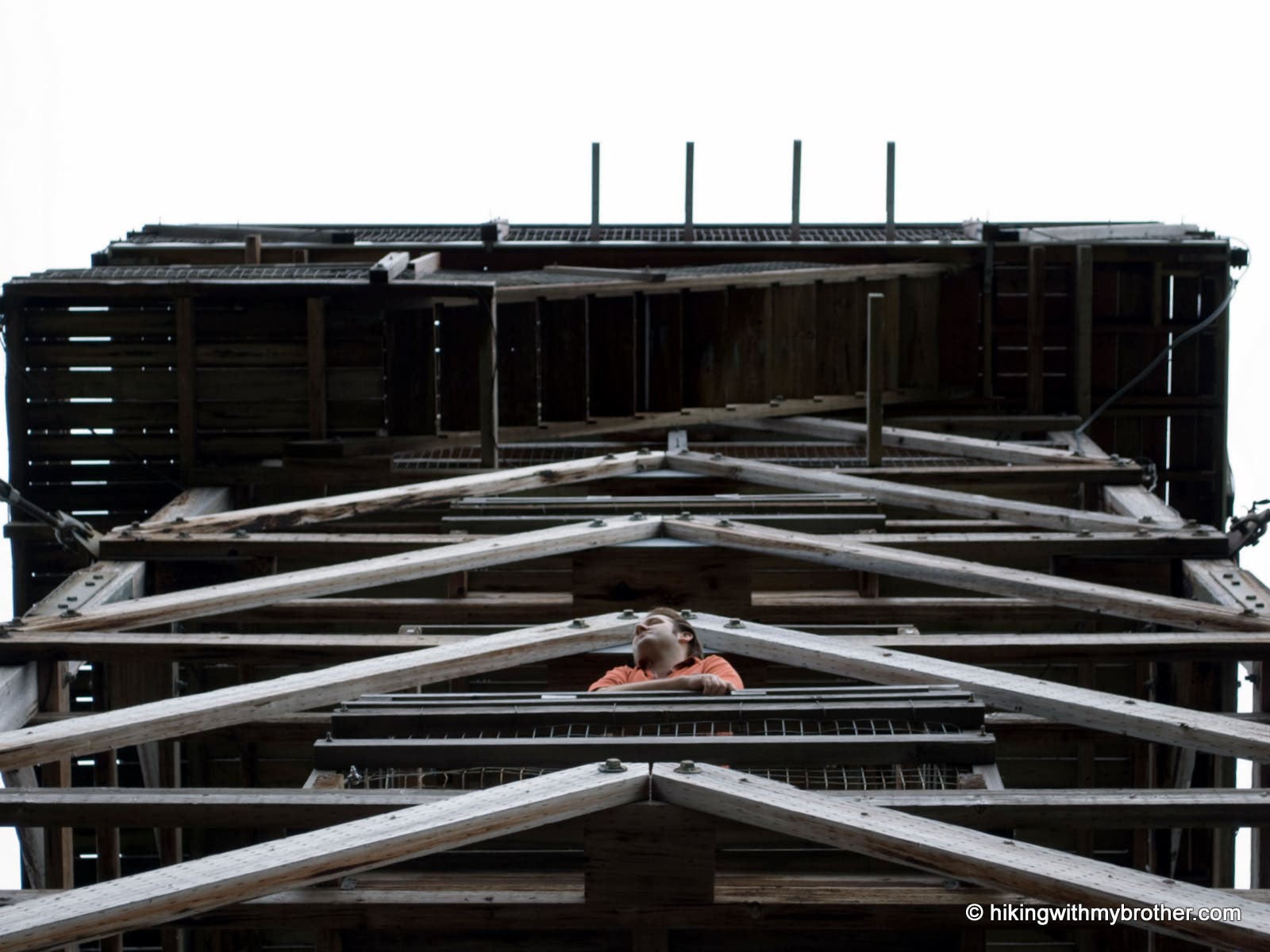
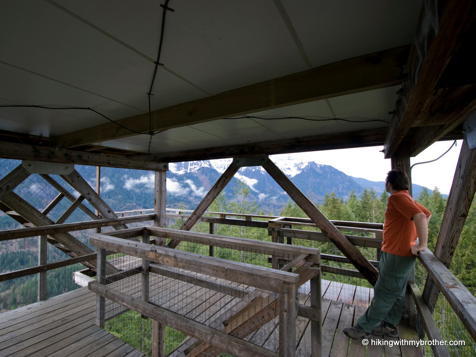
From the gravel parking turnout on the north side of Hwy 2, find the Heybrook Lookout trailhead on the west side. The one-mile trail gains elevation quickly, making a few long switchbacks as it climbs the ridge above the highway. From the ridgetop, the trail bears eastward, still climbing, to top out at the lookout site. The current lookout was built in the late 1990s and stands 73’ tall, but previous smaller lookouts were constructed in 1925, 1932 and 1964. If open, climb the wobbly steps to the lookout platform for excellent views of Mount Baring, Mount Persis, Mount Index, and Bridal Veil Falls.
Mapped by Nathan & Jeremy Barnes Hiking With My Brother


Trail Facts
- Distance: 1.6
Waypoints
HEY001
Location: 47.808441, -121.535131
Just after mile post 37 pull over to the north side of the highway. Start on the trail at the west end of the pull out.
HEY002
Location: 47.810523, -121.525382
Arrive at the 73-foot tall Heybrook Lookout with views of Mts. Baring, Persis and Index.
Trailhead Board
Location: 47.808442, -121.535032
Mossy Forests
Location: 47.808284, -121.533079
Mt. Index
Location: 47.810316, -121.52602
Lookout
Location: 47.810489, -121.525397
Platform
Location: 47.810517, -121.525311
Tower
Location: 47.810474, -121.525118