Seattle, WA: Green Mountain

Despite a 4-5 mile hike-in on a road, this day-long adventure is one of the more rewarding and lesser travelled in the area. Summit the emerald bluffs of Green Mountain, and you’ll be met with — even knocked in the stomach with — glorious view of the vast North Cascade range, with a centerpiece of the snowcapped Glacier Peak in the distance.
Situated between Mt. Teneriffe and Bessemer Mountain, the only official means to access the Green Mountain Trailhead is along the CCC Road. Currently there are two options for getting to the trailhead. You can either follow the Mt. Si Road out as far as it can go and hike the remaining four miles along the CCC Road to the trailhead or you can take FR 56 out to Big Blowout Creek and hike the Bessemer Mountain Road to the CCC Road and a five-mile trek to the trailhead. Either way has its disadvantages. Although the FR 56 approach is significantly longer, the terrain and trail are much more pleasant to hike through. While shorter, the Mt. Si Road approach is more aggravating. The road ends at the Mt. Teneriffe trailhead. Though one can continue past numerous signs screaming “no recreational access” and “private road” to the gate, it is generally recommended that you park where you are instructed.
The hike up Green Mountain itself is enjoyable. Long abandoned logging roads quickly give way to something resembling a trail winding up the mountainside. Lower elevations are very similar to the lush, alder-lined CCC Trail, complete with frequent stream crossings. Evidence of logging still lingers, but the years have softened the blow, with quick growing hemlock and cedar already filling in the gaps. The trail is clear and in good shape though often heavy on the incline.
After a few miles and a number of long switchbacks, roads diverge and you’re presented with a choice. You can continue out to Mr. Manning’s Absolute Last Promontory, or you can hook up the mountain toward the summit. The Promontory is touted to have great views of Russian Butte and Garfield, as a decent birds-eye view of the Middle Fork Valley.
If you choose to take the lesser-traveled summit route, follow the logging road to its end. Once out of road, keep an eye out for ribbons marking an extremely steep route to the top. Be warned; the path makes no attempt to do anything other than convey you straight to the top, nor is it so well used that the path is clear. As snow built up it became increasingly difficult to follow the path, and once we pushed past the tree line, we called it a day beneath the exposed rocks of the summit.
This is a fun and challenging hike, though the tedious walk in along the road can take a lot of the joy out of it. There are rumors of local hikers exploring a more direct route to Green Mountain by bushwhacking up from FR 56, so hopefully the beginnings of a trail will emerge there soon. For the time being, take the FR 56 approach simply to avoid the hassle.
-Mapped by Jeremy and Nathan Barnes, hikingwithmybrother.com


Trail Facts
- Distance: 21.2
Waypoints
GRE001
Location: 47.516041, -121.612988
Start at the Blue DNR 905 gate.
GRE002
Location: 47.527371, -121.62612
Turn left, and cross a small creek onto the CCC Road.
GRE003
Location: 47.498619, -121.660538
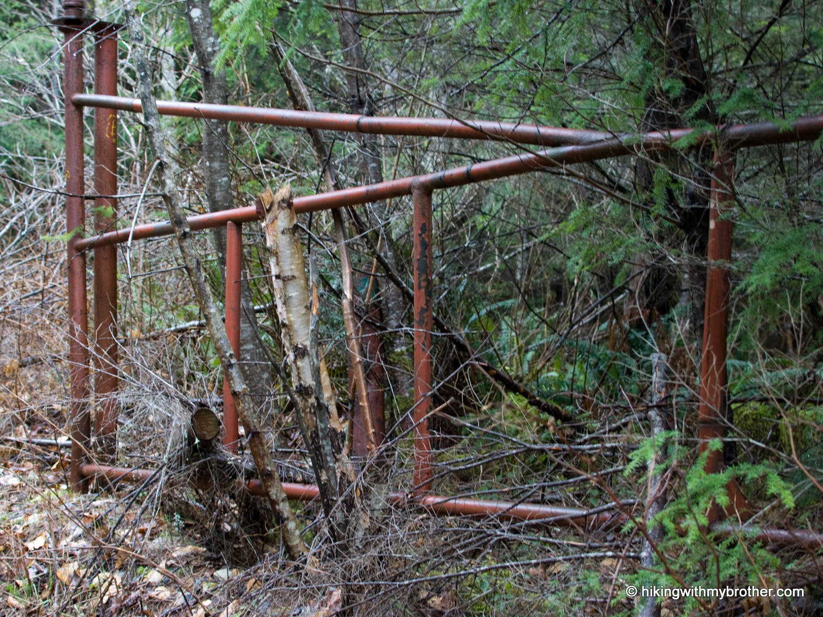
Turn right onto Green Mountain Rd. An old rusted brown gate marks the road.
GRE004
Location: 47.499621, -121.662833
Road Junction. Turn right onto the more rugged Green Mountain Rd.
GRE005
Location: 47.508021, -121.661417
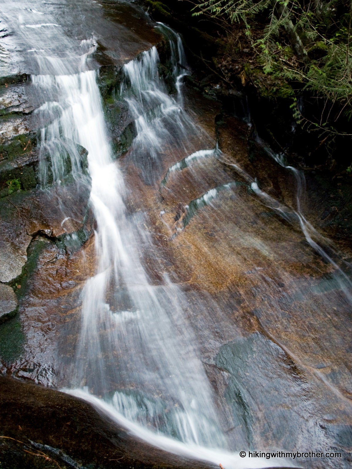
Just below the trail’s edge, a small waterfall slides over granite slabs.
GRE006
Location: 47.510708, -121.662898
Forest road junction. Turn left.
GRE007
Location: 47.509777, -121.671182
Veer to the left onto a scant boot path that is marked with red ribbons.
GRE008
Location: 47.511871, -121.675152
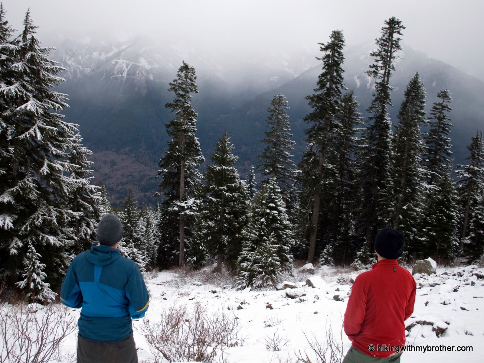
End in a talus field below the cliffs of Green Mountain. Looking east is the Pratt River Valley, Russian Butte, and Mailbox Peak.
Small falls
Location: 47.507983, -121.660967
Gated start
Location: 47.515925, -121.612301
Park at the Blue DNR 905 gate, cross it and head up the road.
Brown Gate
Location: 47.498619, -121.660452
Marks Green Mountain Road.
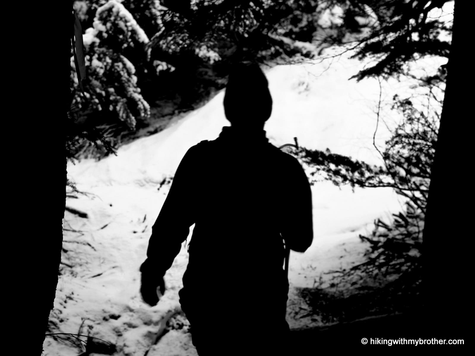
Forest Break
Location: 47.511085, -121.673498
Hiker emerges from the forest into a bright snowfield.
Looking East
Location: 47.511809, -121.675258
View down from the Green Mountain Talus field.