Seattle, WA: Goldmyer Hot Springs

Need a restorative winter warmer? Hike 11 miles along the icy banks of the Middle Fork Snoqualmie River to a natural hot spring just 35 miles from Seattle. During winter, the lone access road becomes impassable; it’s foot travel only, but you’ll still need reservations to secure one of just 20 daily permits.
From the parking lot off Middle Fork Road, take the Middle Fork Snoqualmie Trail #1003 across the Gateway Bridge and follow the main track left. At .8 mile, reach a side trail leading to the granite backbone of Stegosaurus Butte. Follow the river, then climb through a recent landslide that toppled the Douglas firs and exposed a view of 5,519-foot Mt. Garfield. At 4.5 miles, reach Cripple Creek and a roaring 20-foot cascade set against a granite backdrop. Turn uphill here for a one-mile side trip to Tin Cup Joe Falls.
Hike another mile to the Dingford Creek junction. During spring snowmelt (April to May), the Thunder Creek ford, three miles ahead, can be impassable. Scout Dingford Creek to help anticipate Thunder Creek’s flow. If Dingford’s raging, take the left spur to Dingford Road and follow the forest road four miles to Goldmyer. Otherwise, continue toward Wildcat Creek and Rock Creek, both spanned by wooden bridges. At 8.1 miles, veer right at the Y-junction. You’ll soon pass the intersection with the Rock Creek Trail #1013.3, which leads to Snow Lake and Snoqualmie Pass.
Stay on #1003 to Thunder Creek, where two 10-foot falls emit a low roar. Cross the stream if the torrent is passable, then continue to Burntboot Creek and the fallen logs that provide access to Goldmyer Hot Springs. The springs are staffed by caretakers for Northwest Wilderness Programs, Inc., a nonprofit dedicated to wilderness preservation; check in, and camp along the river. Then hit the pools, which seat one to four, and range from 100°F to 120°F.
Gear up REI, 735 Northwest Gilman Blvd., Issaquah, WA. (425) 313-1660; rei.com
Permit Northwest Forest Pass required ($30/year). (800) 270-7504; fs.fed.us/r6/passespermits
Reservations Access is $15/day per person. Call 90 days ahead. (206) 789-5631; goldmyer.org
-Mapped by Nathan and Jeremy Barnes, hikingwithmybrother.com
Trail Facts
- Distance: 17.7
Waypoints
HCT006
Location: 37.641132, -119.848618
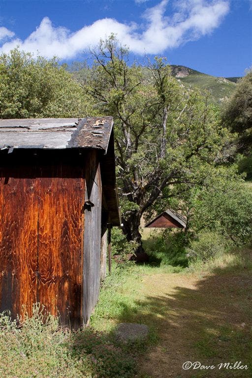
Arrive at Hite Cove. Explore the old mining area of Hite Cove. Some old wood structures remain on the property in addition to old stone foundations. A couple of backcountry camps are further along the trail, but river access is further upstream including some old mineshafts.
HCT004
Location: 37.63797, -119.875656
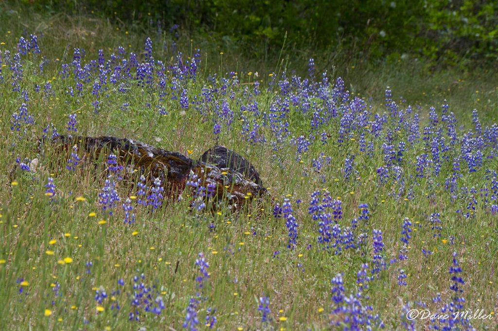
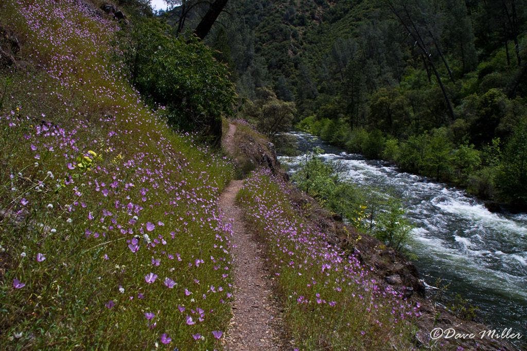
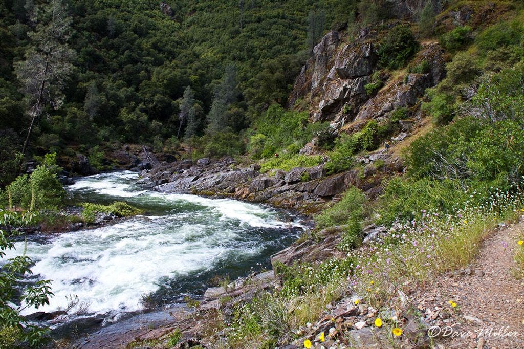
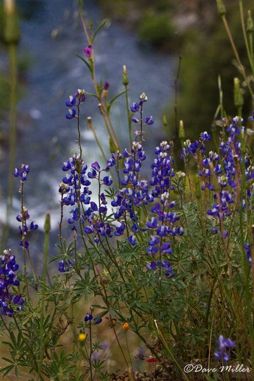
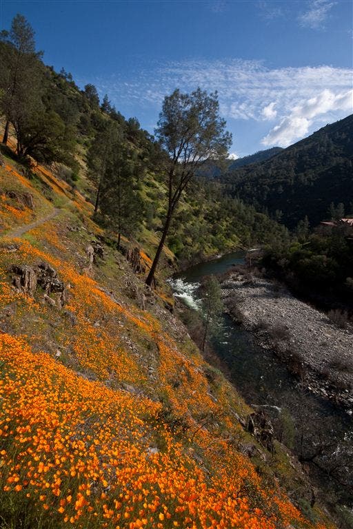
The trail levels out and comes near the river. Lupines, chinese houses and baby blue eyes are some of the wildflowers seen in this area. The exposed trail ascends a bit for the next 1/4 mile then maintains elevation for most of the remaining trail.
HCT002
Location: 37.654362, -119.887108
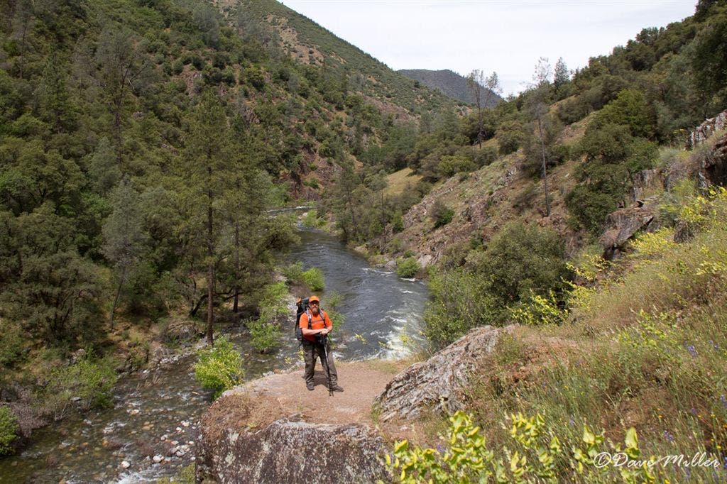
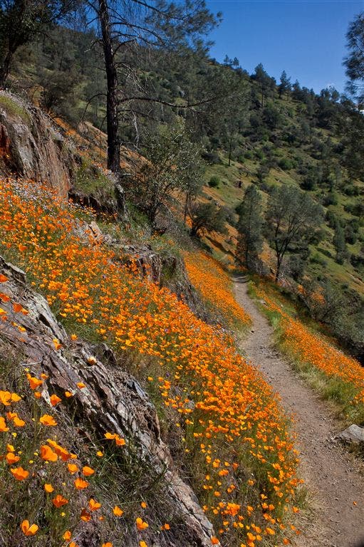
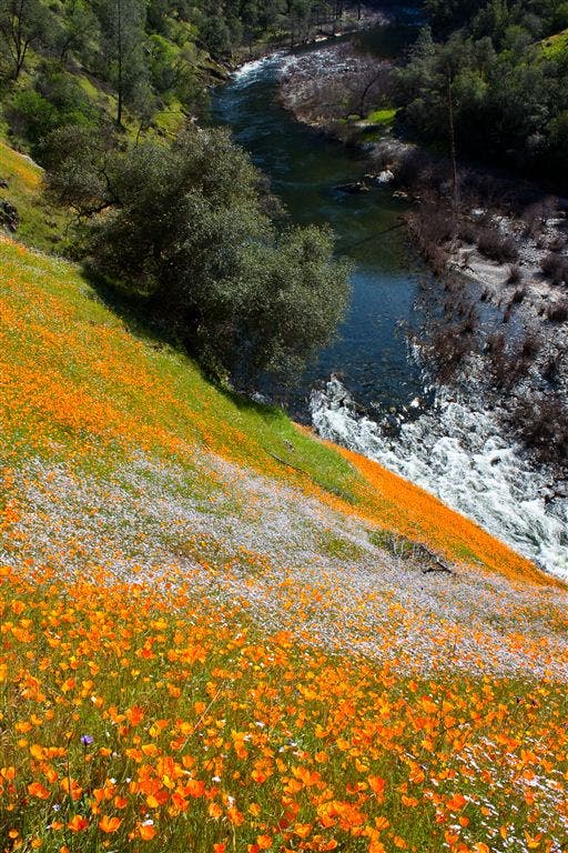
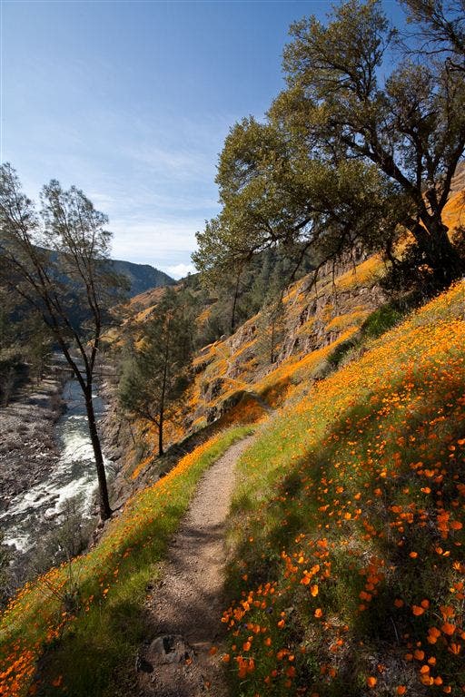
R @ Y. Turn right onto the Hite Cove trail. Springtime at this section of the Hite Cove trail is an explosion of wildflowers, california poppies, popcorn flowers, blue dicks, owls clover, baby blue eyes, chinese houses, indian painbrush and many others can be found along the first 1/2 mile of this trail. The narrow trail follows the south fork of the Merced River and ascends and descends, steeply in a couple of sections, along the way.
HCT003
Location: 37.646023, -119.87925
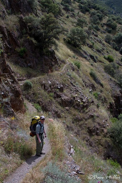
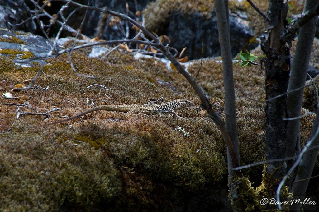
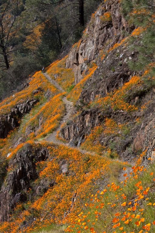
Sierra National Forest Boundary. The narrow trail cuts through the steep terrain. Wildflowers continue to line the trail with some sections more lush than others. Skinks and Lizards skitter in the brush.
HCT001
Location: 37.654709, -119.887512
Trailhead. Head up the paved road at the trailhead sign. The road bends to the right and becomes a trail. Note: The first 3/4 mile of this trail is on private property and only hiker access is allowed. Camping only allowed in the national forest.
HCT005
Location: 37.63913, -119.853981
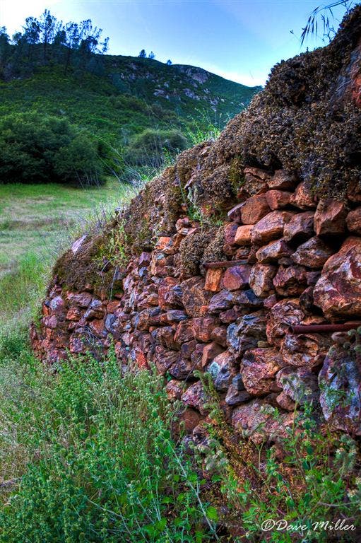
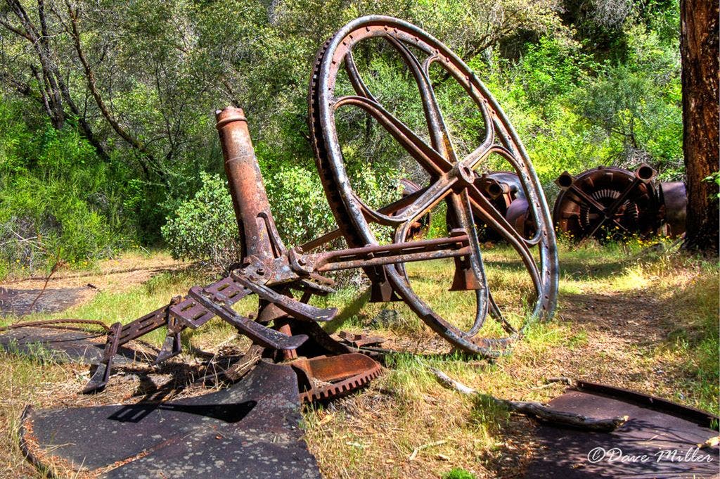
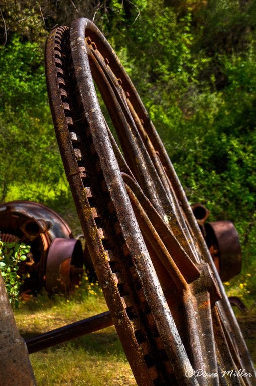
Mining artifacts including large geared wheels from the old stamp mills lay rusting along the trail. Continuing on, the trail has some sandy sections and passes some old stone foundations that were once part of John Hite’s mining town.
Trailhead
Location: 37.654537, -119.887665
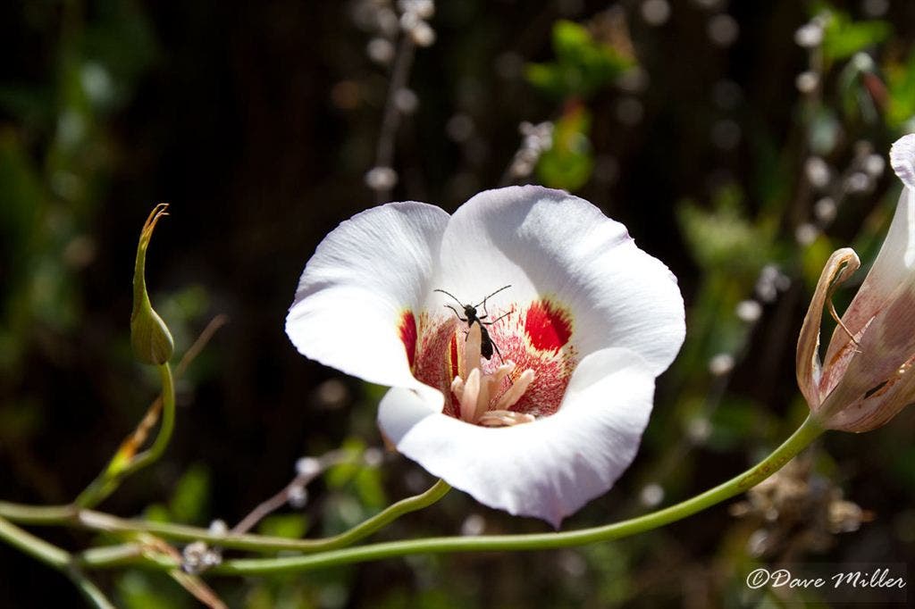
Mariposa Lily
Location: 37.653957, -119.886978
Narrow Trail
Location: 37.646992, -119.880928
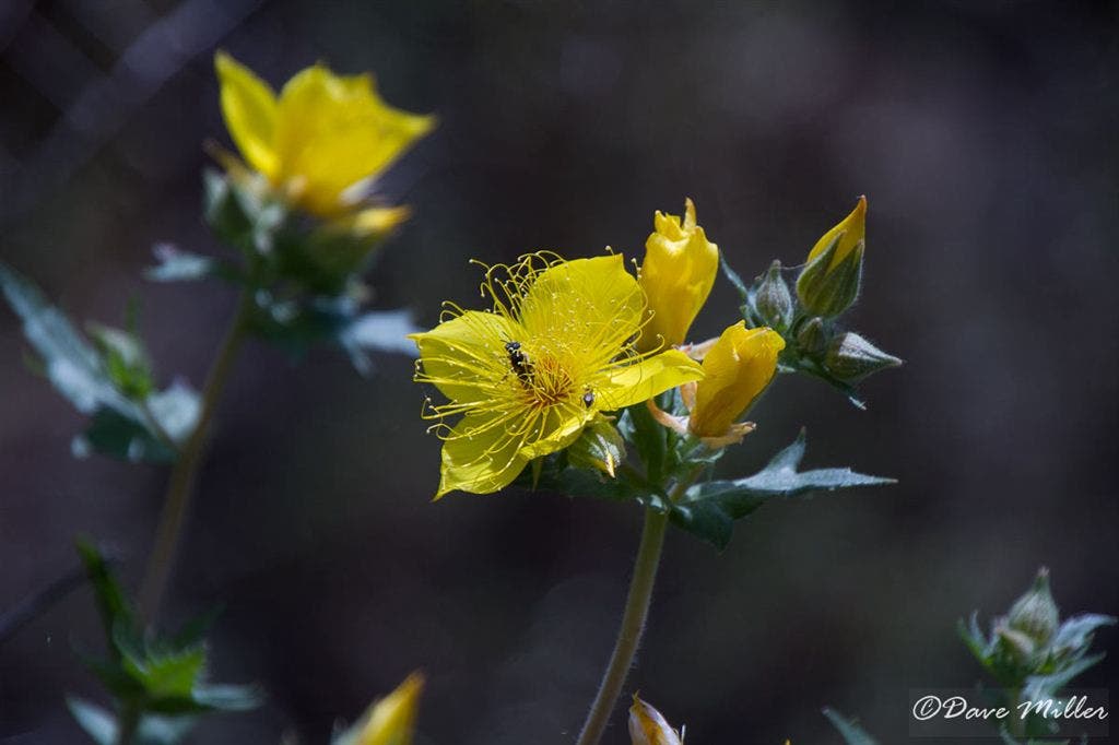
St. John’s Wort
Location: 37.641998, -119.879944
Vista
Location: 37.641113, -119.879128
Lupines
Location: 37.638294, -119.875404
Western Skink
Location: 37.637409, -119.874504
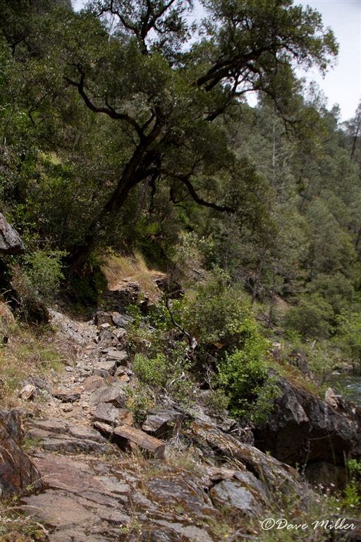
Rocky Trail
Location: 37.637409, -119.872398
Colorful Trail
Location: 37.639008, -119.868546
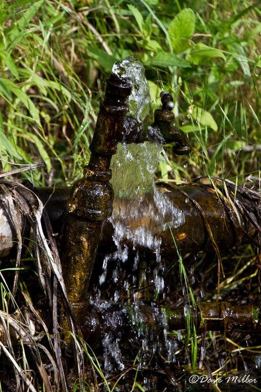
Runnig Faucet
Location: 37.641472, -119.848511
Odd sight of this running faucet near the ruins of Hite Cove.
Rock Wall
Location: 37.639584, -119.852722
Abandond Shed
Location: 37.641506, -119.848961
Steel Wheels
Location: 37.63921, -119.854736
Wheel
Location: 37.639381, -119.853752
Merced
Location: 37.639042, -119.856323
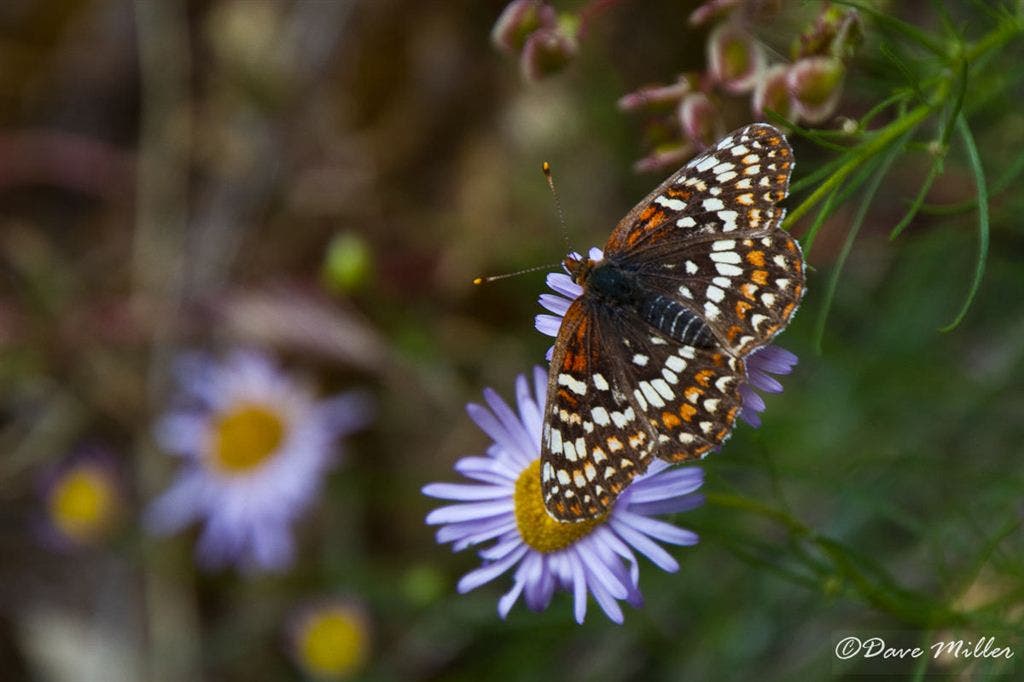
Painted Lady
Location: 37.639145, -119.861168
Lupine View
Location: 37.640366, -119.867126
Poppy Trail
Location: 37.653824, -119.886765
Narrow Trail cuts Sheer Cliff
Location: 37.646519, -119.880074
Wildflower Carpet
Location: 37.652191, -119.885521
Hite Cove Trail
Location: 37.650631, -119.885216
Poppies and Shade
Location: 37.650288, -119.885132