Heading out the door? Read this article on the new Outside+ app available now on iOS devices for members! Download the app.
Bypass the peaks in Tiger Mountain State Forest and explore the more remote recesses of the 13,500-acre working forest on this 10-mile out-and-back to Fifteenmile Creek. The hike begins on a logging road, but quickly veers onto the Iverson Railroad Trail; you’ll tromp past clear cut areas and enter a young forest of cedar and fir before pushing deeper into more mature stands. Roughly 2 miles in, turn right onto the logging road and follow it less than half a mile to the Tiger Mountain Trail.
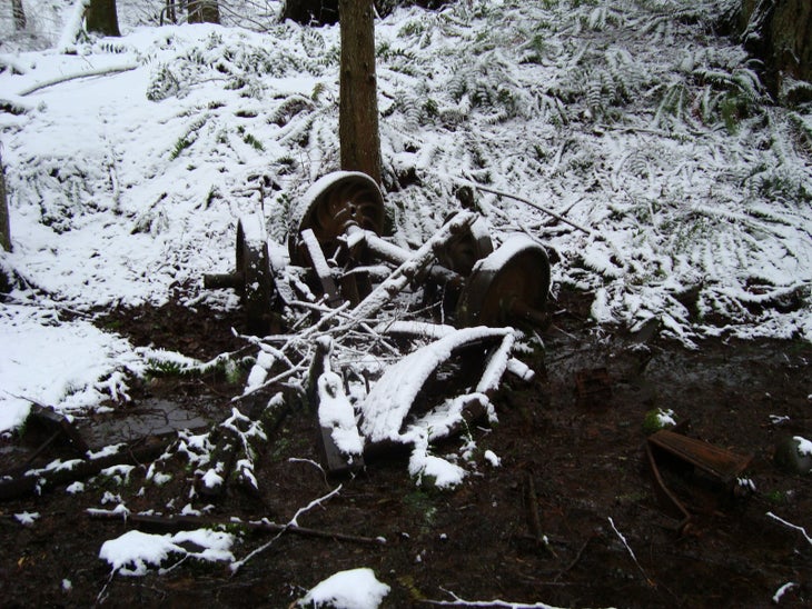
After turning right onto Tiger Mountain Trail, hike north to a junction with Artifacts Trail. Bear right and visit the site of a 1920’s train wreck (look for the twisted metal remnants next to Holder Creek). A pile of rusted wheel sets and spring boxes sit on one side of the trail; mangled rails and moss-covered railroad ties lean haphazardly against several trees. At mile 3.2, merge back onto Tiger Mountain Trail at Karl’s Gap and follow it to the junction with Hobart Trail. Bear left at this Y-junction and descend to Fifteenmile Creek. Take in the picturesque scene before turning around and following the same route back to the trailhead.
-Mapped by Nathan and Jeremy Barnes, hikingwithmybrother.com
Trail Facts
- Distance: 16.1
Waypoints
FMC001
Location: 47.466564, -121.930692
From the East Tiger Mountain Trailhead, follow the logging road to the northeast.
FMC002
Location: 47.46869, -121.930829
Turn left at the junction with Iverson Railroad Trail. Ahead, hike through a clear cut area, enter a young forest of cedar and fir, then push deeper into more mature stands.
FMC003
Location: 47.468979, -121.935593
Turn right at the junction with a short side trail (leads to an old parking area).
FMC004
Location: 47.468692, -121.959009
Turn right and follow the logging road.
FMC005
Location: 47.471044, -121.964938
Turn right onto Tiger Mountain Trail.
FMC006
Location: 47.475803, -121.965033
Veer right onto Artifacts Trail. Ahead, pass the remnants of a 1920’s train wreck. A pile of rusted wheel sets and spring boxes sit on one side of the trail; mangled rails and moss-covered railroad ties lean haphazardly against several trees.
FMC007
Location: 47.476296, -121.964271
Turn left onto a small spur trail. Holder Creek flows on the right-hand side of the trail.
FMC008
Location: 47.477673, -121.966307
Continue straight at the junction with Karl’s Peak Trail.
FMC009
Location: 47.478181, -121.967224
Bear right onto Tiger Mountain Trail at Karl’s Gap.
FMC010
Location: 47.482677, -121.967836
Millan’s Crossing: Continue straight on Tiger Mountain Trail at the intersection with Middle Tiger Mountain Trail.
FMC011
Location: 47.491399, -121.970598
Turn left down Hobart Trail.
FMC012
Location: 47.493218, -121.971974
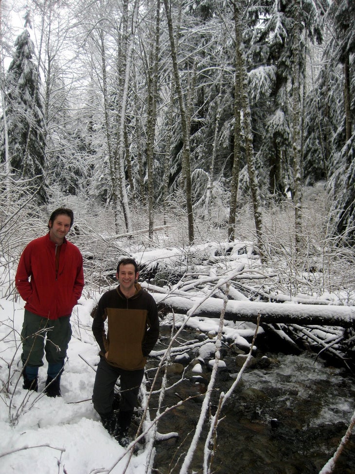
Take a break on the banks of Fifteenmile Creek at the Hobart-Middle Tiger Trail junction. When you’re ready, turn around and retrace your steps back to the trailhead.
Footbridge
Location: 47.47048, -121.937202
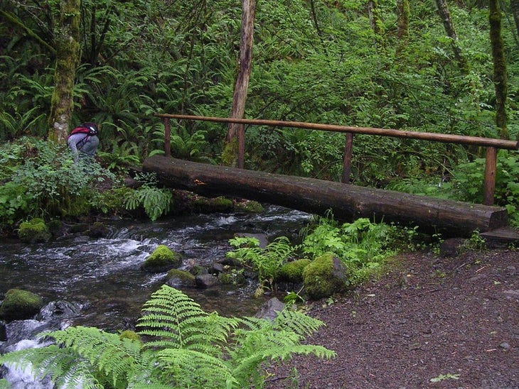
One of several footbridges on the Iverson Railroad Trail.
Fatal Train Crash
Location: 47.475981, -121.964571
Debris from the train crash.
Karl’s Gap
Location: 47.478444, -121.967101
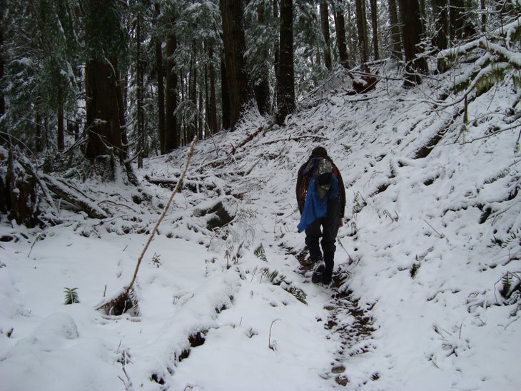
Descent from Karl’s Gap.
Hal’s Cove
Location: 47.490297, -121.970901
Fifteenmile Creek
Location: 47.493218, -121.97191