Seattle, WA: Dungeness Spit

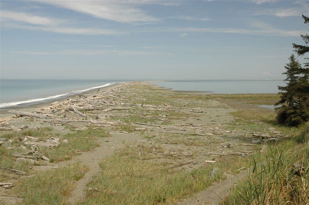
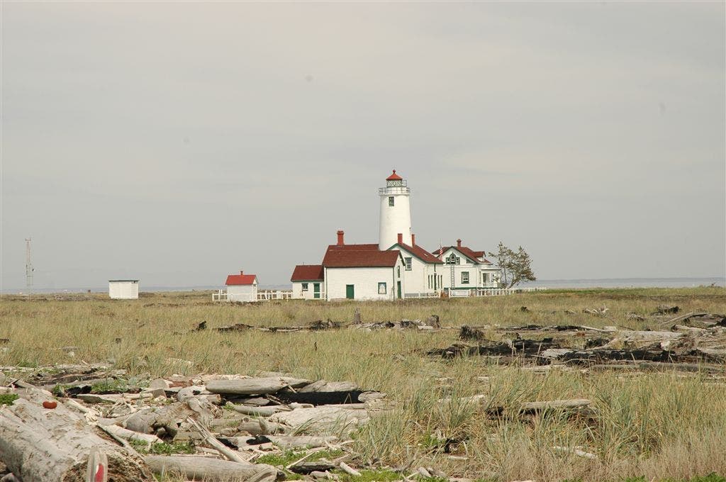
Hike north from the trailhead for a 0.4-mile stretch through Sitka spruce, cedar, and Douglas fir to the bottom of Dungeness Spit. From here, the route travels up the spit, passing shorelines with harbor seals and killer whale sightings in the Strait of Juan de Fuca. After 3.4 miles, the New Dungeness Light Station comes into view aound the first bend.
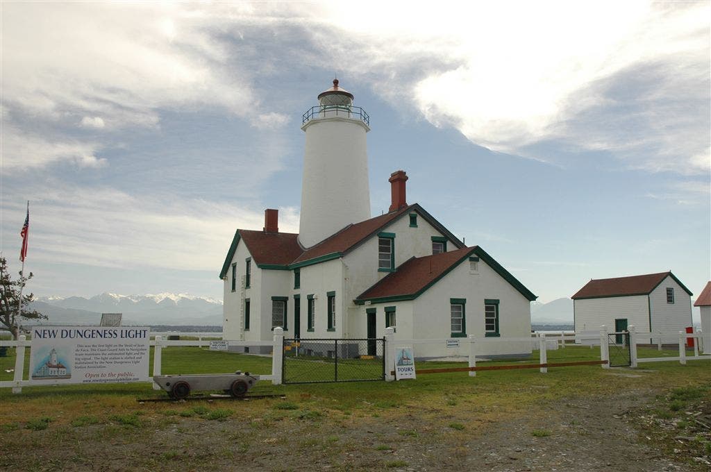
Listen closely: the rocks along the shore sound like marbles as they roll around in the surf. At mile 4.2, climb to a ridgetop to see thousands of birds nesting on the east side of the spit, then continue northeast. A half-mile later, bear right and hike inland across soft sand to the historic Dungeness Light Station. Climb the lighthouse’s 74 steps for spectacular views of Whidbey Island, Vancouver Island, Mount Baker, and the Olympic Mountain Range. Retrace steps back to trailhead.
-Mapped by Kari Bodnarchuk
Trail Facts
- Distance: 16.4
Waypoints
WPT001
Location: 48.1413841, -123.1902008
From parking area, head north on a wide, dirt and pebbly path through cool forest of Sitka spruce, red alder, cedar and Douglas fir.
WPT002
Location: 48.1453743, -123.1863403
Pass Dungeness Harbor overlook; great views of Dungeness Spit and Mount Baker in the distance. Follow dirt and pebble path about 100 yards down to beach, turn right, and hike along west side of spit. Note: Avoid the east side of spit, a nesting area for the area’s more than 250 species of birds.
WPT003
Location: 48.1517487, -123.1816483
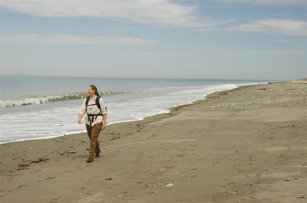
When the tide is low, this area is mostly hard-packed, sandy beach. During high tide, hike along rocks and pebbles just above the high-tide mark; giant driftwood trees can be found on the ridge in the middle of the spit.
WPT004
Location: 48.1568985, -123.1751633
Keep an eye out for terns that rest along the shore and swoop overhead; you may also spot seals and orcas in the strait. Continue hiking northeast with the Strait of Juan de Fuca on your left and Dungeness Harbor to the right.
WPT005
Location: 48.16745, -123.1610489
Colorful rocks–green, yellow, orange, black, maroon, black, white, and tan–speckle the shore.
WPT006
Location: 48.1753159, -123.146431
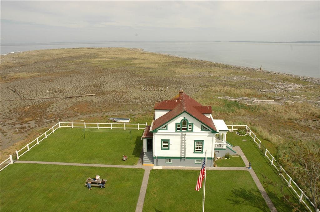
As you round the first bend in the spit, the New Dungeness Light Station (a national historic site) comes into view for the first time; Mount Baker towers in the background and Graveyard Spit juts out on the east side of the spit.
WPT007
Location: 48.175766, -123.1444702
Listen closely: The rocks along shore sound like marbles as they roll around in the surf. Cormorants are a common sight here, too. Ahead, the spit curves to the east, offering views of the snow-capped Olympic mountains and Mount Baker. Hike along sand and over mounds of pebbles, occasionally skirting around driftwood logs.
WPT008
Location: 48.1772346, -123.1264343
Look at the sky to find swooping terns, stirred up by the eagles that hang out here. Climb to the top of the ridge to see thousands of birds nesting on the east side of the spit. Continue northeast along the spit.
WPT009
Location: 48.1777344, -123.1244507
Pass the 4-mile marker and continue northeast. The spit narrows ahead.
WPT010
Location: 48.1808167, -123.1158524
Bear right and hike inland across soft sand to reach the lighthouse.
WPT011
Location: 48.1817627, -123.1103516
Climb the 74 steps to the New Dungeness Light Station (guided tours available). Spectacular views extend in every direction: Whidbey Island to the east, Mount Baker to the northeast, Hurricane Ridge and the Olympic Mountain Range to the southwest, and a seal rookery to the north (off limits). Tour the Discovery Room to see displays of rocks and driftwood found on the beach. Fill your water bottles with fresh water from a 660-foot artesian well; retrace your steps back to the trailhead.
Dungeness Spit
Location: 48.1458855, -123.1876831
Shoreline
Location: 48.1540489, -123.1791153
New Dungeness Light Station
Location: 48.1813736, -123.1139069
Lighthouse
Location: 48.1820984, -123.1102066
Lighthouse Views
Location: 48.1815643, -123.1103592