Seattle, WA: Change Creek to Hall Point

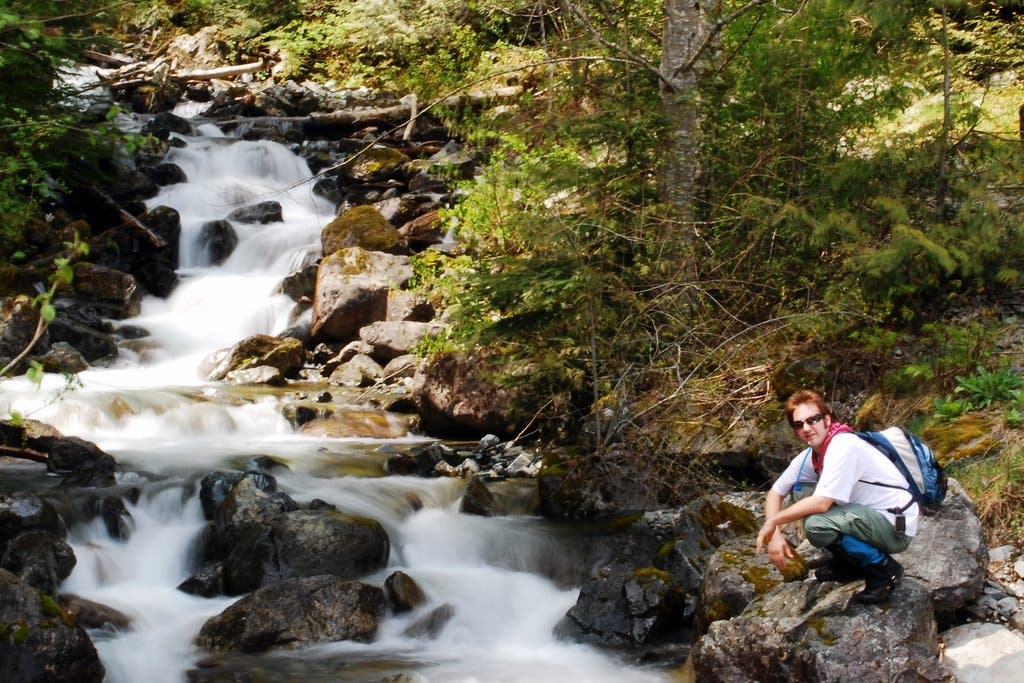
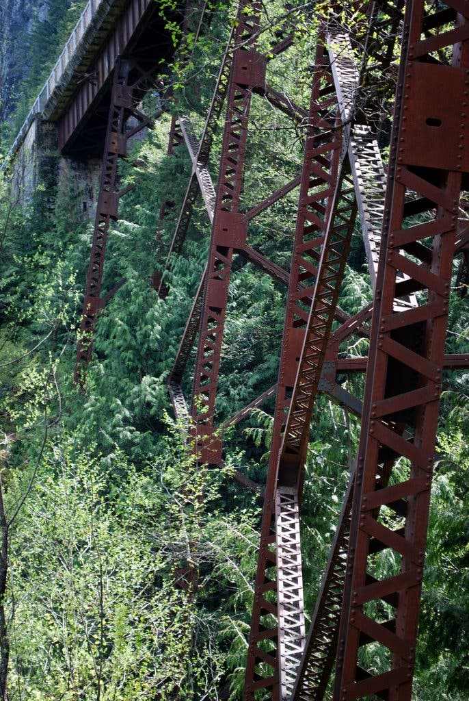
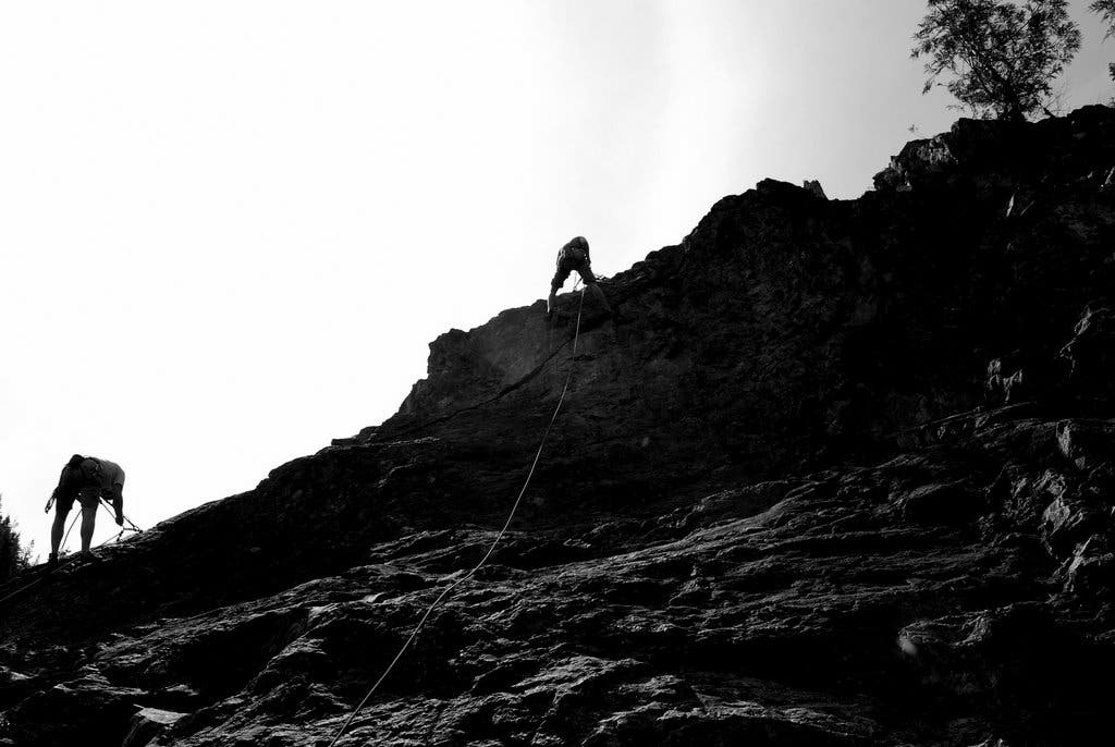
Short on distance and big on scenery, this out-and-back just outside North Bend culminates with prime vistas of Snoqualmie Valley and a newly-hacked route to Mt. Washington. From the parking lot on the north side of Homestead Valley Road, get started by crossing the street and heading uphill on the trail paralleling Change Creek. Reach Deception Crags – ever-popular with climbers from across the state – and hang a left onto the Iron Horse/John Wayne Pioneer Trail, which follows an abandoned railroad bed over a high, iron-trussed bridge. Between Change Creek and Hall Creek, turn right to pick up the roughly-hewn Change Creek Trail.
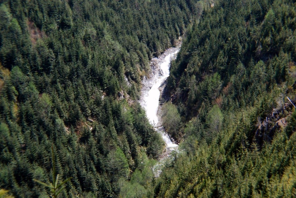
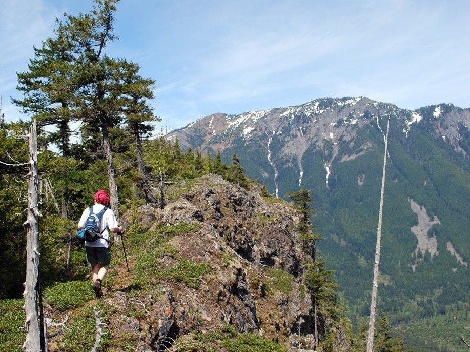
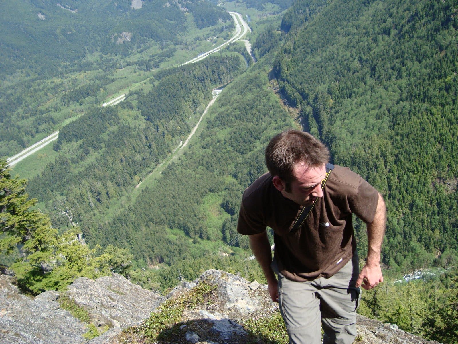
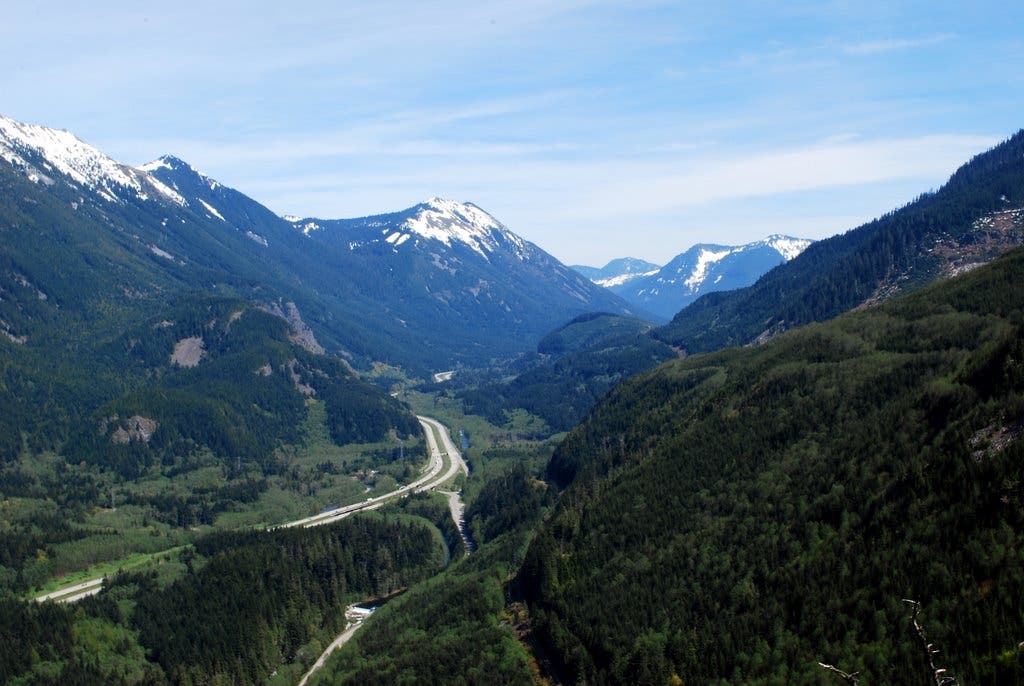
The newly-blazed trail, composed of loose rock and soil, begins with a series of switchbacks through dense forest toward the ridge flanked by Hall Creek and Change Creek. As the trees and underbrush thin, you’ll catch glimpses of Hall Creek Falls and I-90 snaking through the valley below. Upon gaining the ridgeline, snag a quick peek at Change Creek before continuing up to Hall Point for a grand finale of spectacular valley panoramas: Mt. Teneriffe and Green Mountain to the west, Mailbox Peak and Dirty Harry’s Peak to the north, and a tease of Snoqualmie Pass to the east. Scramble around the ridge’s exposed rock ledges or tackle the remaining five-mile push toward Mt. Washington (which eventually connects to existing logging roads) before returning home via the route you hiked in on.
-Mapped by Jeremy and Nathan Barnes, Hiking With My Brother
Trail Facts
- Distance: 3.8
Waypoints
HP001
Location: 47.437346, -121.660397
Pick up the trail near the bridge heading west along Change Creek.
HP002
Location: 47.436866, -121.663147
Turn left at T-intersection to cross rail bridge.
HP003
Location: 47.43496, -121.659594
Turn right onto the Change Creek Trail and begin climbing.
HP004
Location: 47.434013, -121.660232
Turn left on the side trail for a quick visit to Raven’s Roost, a rocky outcropping providing valley views.
HP005
Location: 47.432255, -121.664638
A faint game trail leads to more cliffside vistas. Exercise extreme caution.
HP006
Location: 47.43025, -121.664758
Turn left to reach the top of Hall Point. Continue straight to reach the summit of Mt. Washington (5 miles).
HP007
Location: 47.429958, -121.664451
Hall Point marks the end of this route. Return home via the route you hiked in on.
Change Creek
Location: 47.43729, -121.660581
Your hike starts with a climb alongside Change Creek.
Railroad Trusses
Location: 47.436949, -121.662909
Catch glimpses of railroad trusses that once supported the Chicago, Milwaukee, St. Paul and Pacific Railroad. Today, the old rail bed has been converted into the 300-mile John Wayne Pioneer Trail.
Deception Crags
Location: 47.436884, -121.663327
Deception Crags attracts climbers from all over Washington.
Hall Creek Falls
Location: 47.433349, -121.661385
Notch aerial views of Hall Creek Falls to the east.
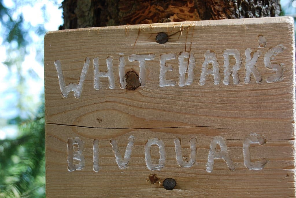
Whitebark’s Bivouac
Location: 47.433538, -121.663231
The Bivouac, a small overhang in the cliff, provides respite from the sun on hot days.
Cliffs
Location: 47.433338, -121.66425
The cliffs just off the trail serve up prime valley panoramas. Mailbox Peak is in the distance.
Cliff End
Location: 47.434057, -121.663196
Look down on Olallie State Park and I-90 paralleling the South Fork Snoqualmie River from this cliff-edge perch.
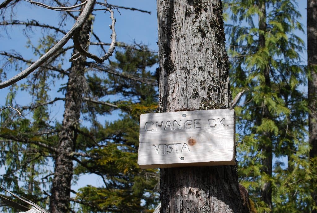
Change Creek Vista
Location: 47.431901, -121.664727
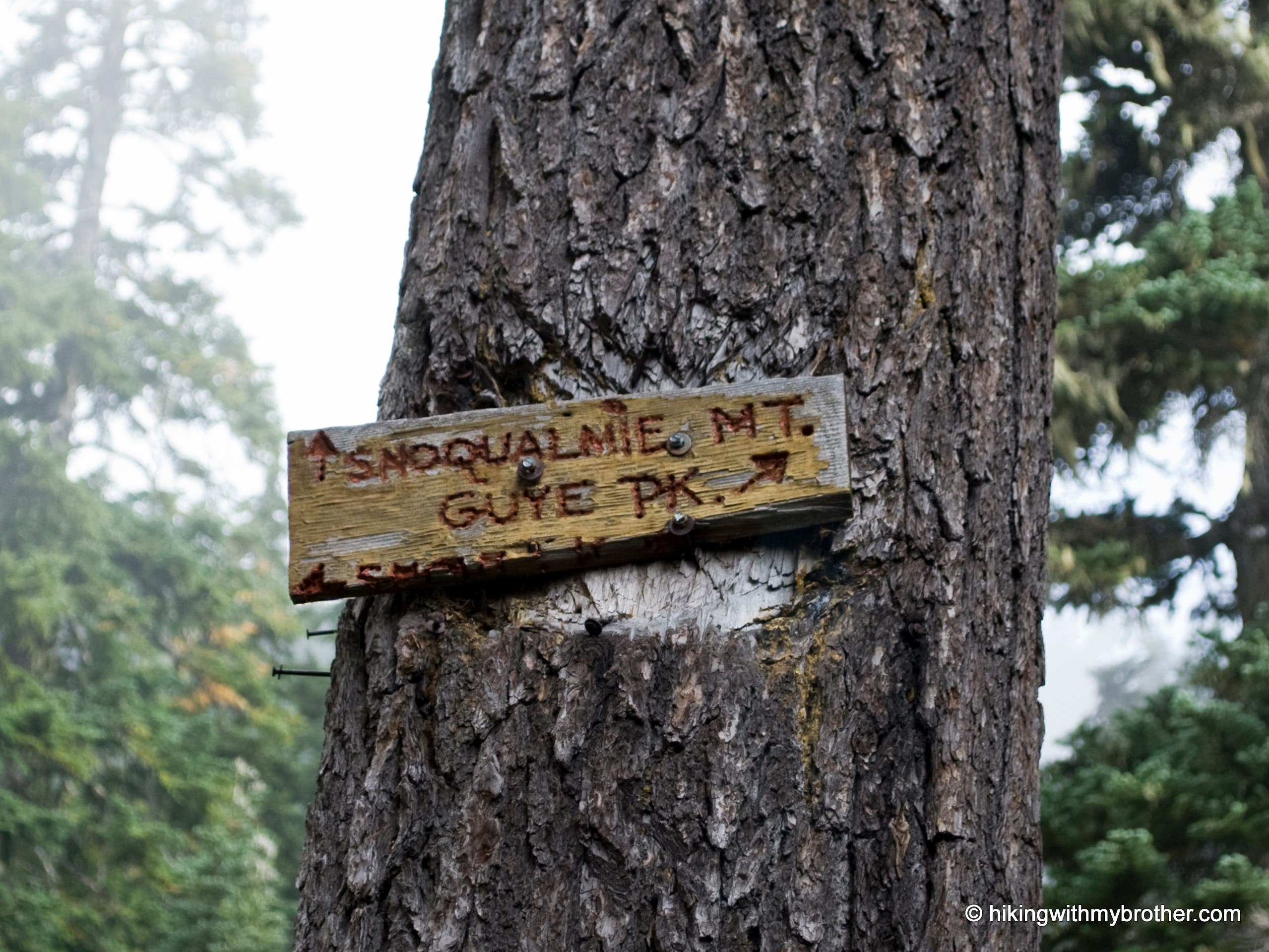
Follow the sign for vistas of Change Creek and Mt. Washington to the south.
Trail Marker
Location: 47.430247, -121.664786
Hall Point Panorama
Location: 47.429967, -121.664432
Look east toward Snoqualmie Pass for spectacular valley panoramas from Hall Point.