Seattle, WA: Bridal Veil Falls Loop to Lake Serene

In the spring, expect flocks of hikers on the Bridal Veil Falls Loop to Lake Serene. Popular for over 50 years, the Lake Serene Trail #1068 got a makeover in the late 1990’s; a re-route that smoothed the once treacherous trail. These days the Lake Serene Trail is still a workout, with 23 switchbacks winding up the steep shoulders of Mount Index. But the scenery is well worth the effort. In less than 7 miles, expect several crashing waterfalls, topped off with one of the best views of Mount Index in Washington, unique to the rocky shores of Lake Serene.
The route begins innocently enough – it follows a logging road with a mild grade, reserving most of the elevation for the end of the hike. For those interested in extending their time on the trail, more than one side-trip is available along the path to the lake. Early in the hike, a short spur gives access to the old Honeymoon Mine, which is reported to be relatively safe and interesting to explore. To find it, look for a clearing along the logging road just before the first creek crossing. The unmarked trail is at the far end of the clearing. Additionally, about a mile in, just before the trail hits the switchbacks and elevation gain, a well-signed path winds steeply up to Bridal Veil Falls and an expansive overview of the valley below. The glimpses of Bridal Veil Falls seen from Highway 2 as it passes under Mount Index do little justice to the experience of standing at the base of the cascade; this detour is highly recommendable.
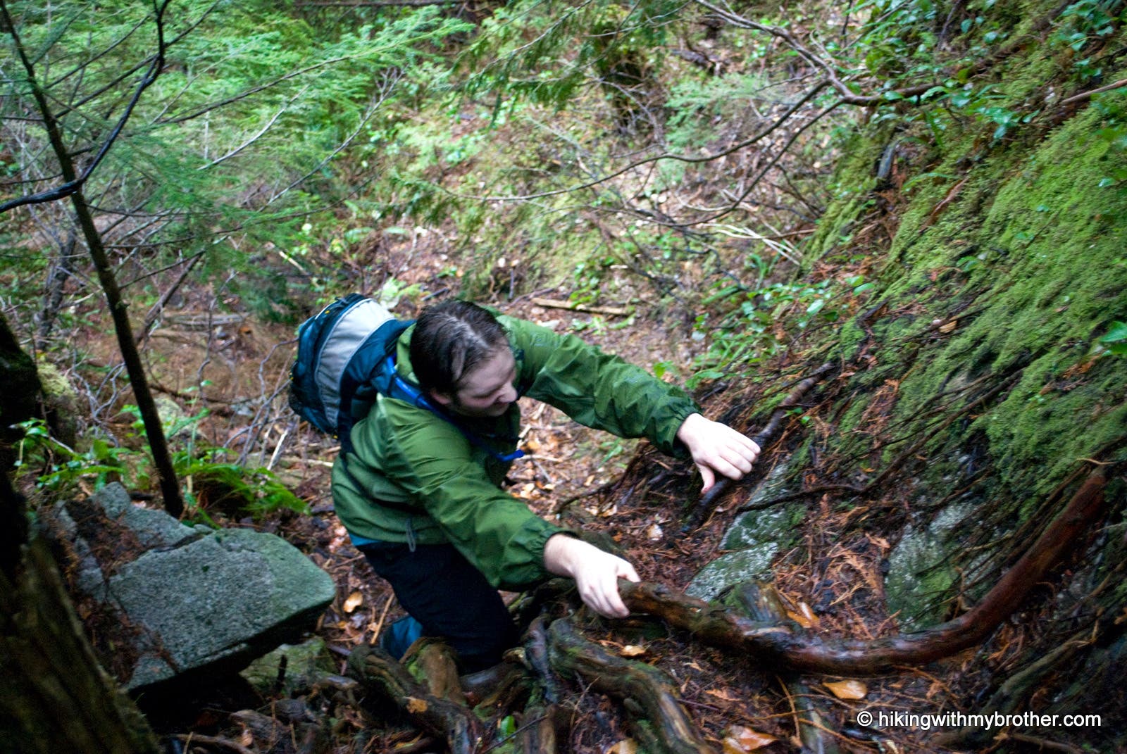
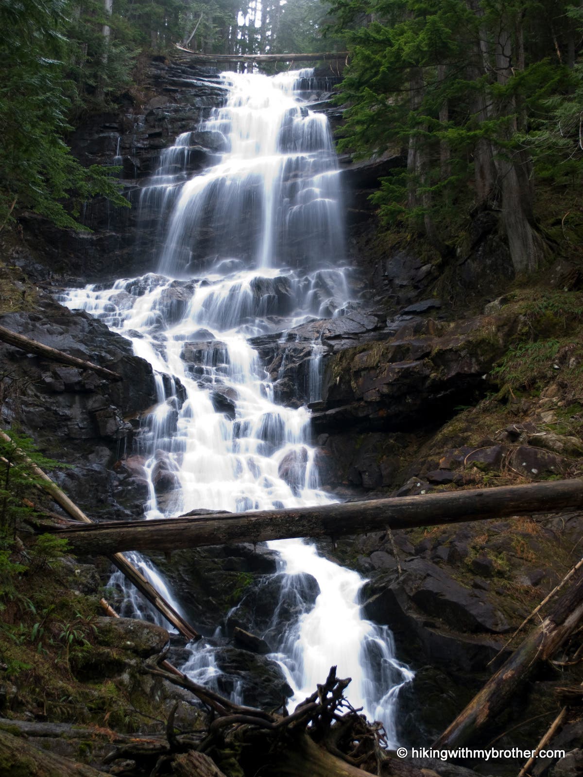
From the falls, one can backtrack down to the main trail, or, for those thirsty for adventure, follow the faint bootpath up the mountainside. While this route shaves off almost two miles from the trip and avoids crowds that normally clog the trail during warm months, it more than makes up for it in steepness. It is easy to lose track of the path, which at times is completely obscured or blocked with blowdowns. Occasional ribbons mark the way, but when in doubt, hug the creek and follow the path of least resistance. Steep, tricky and occasionally frustrating, this route is not for the faint of heart. However, the effort is rewarded by an enchanting waterfall tucked halfway between Bridal Veil Falls and Lake Serene. Impressive in their own right, the falls make a great spot to catch your breath before scaling the rest of the way to the top.
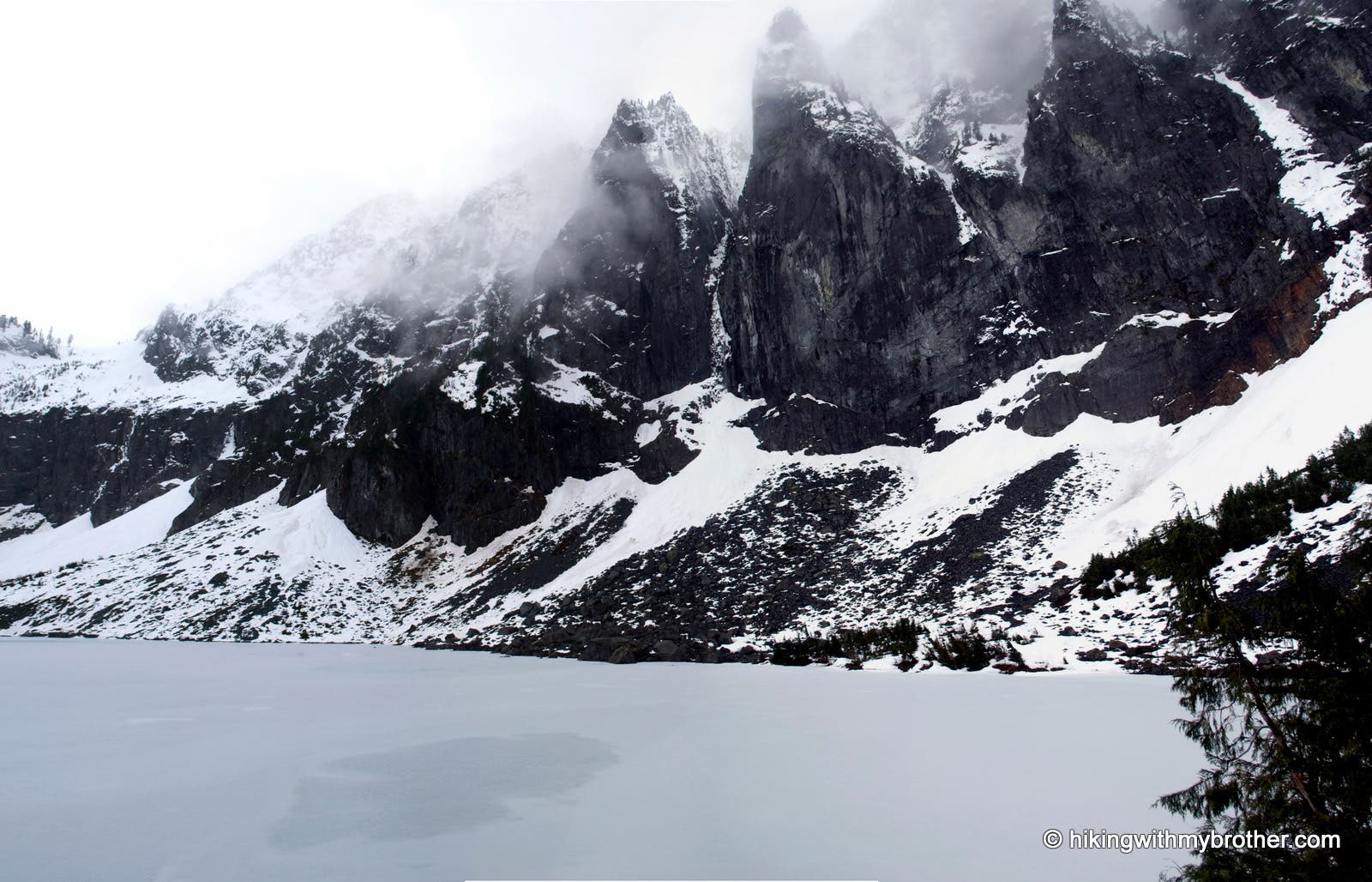
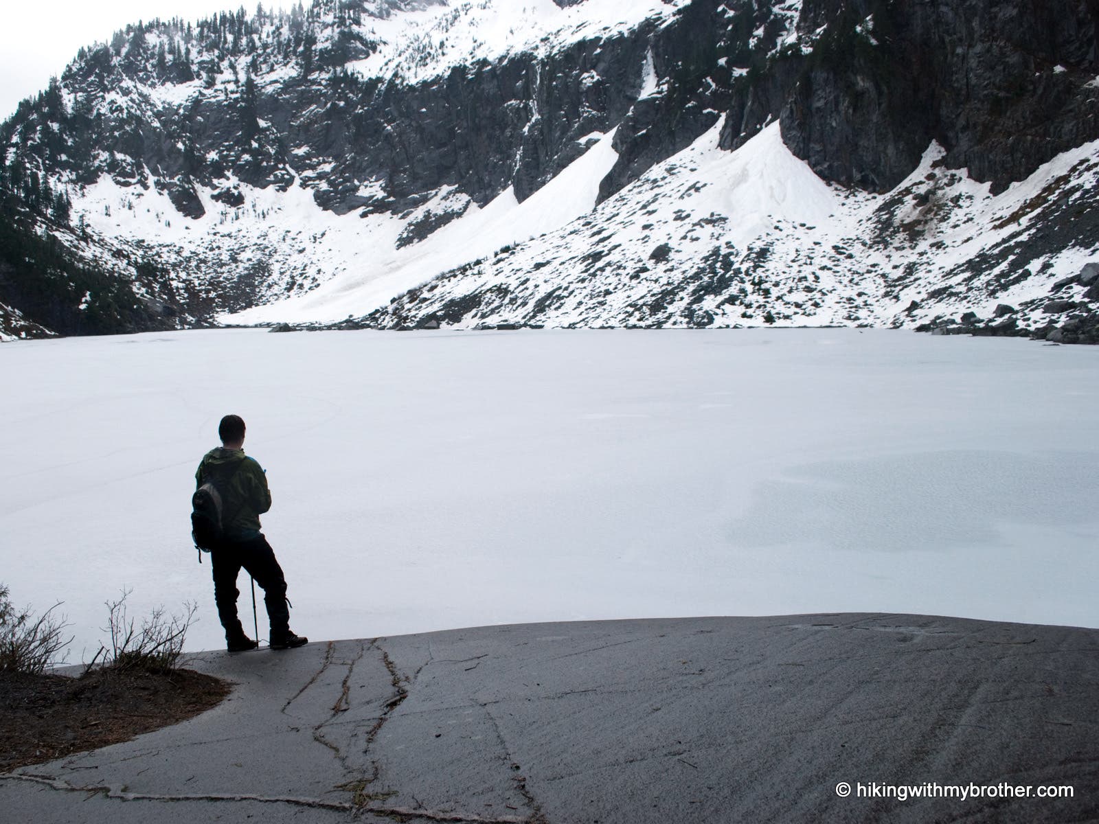
At first, the satisfaction of making it up to the lake basin is euphoric in and of itself, but it is almost immediate washed away by the sight of Lake Serene backdropped by the imposing cliffs of Mount Index. Once you catch your breath, follow the path as far as it will go around the lake to a popular lunch spot, or find your own little nook to take in the lake. More than likely you’re going to have some company, but there is more than enough of Index to go around.
-Mapped by Jeremy and Nathan Barnes, hikingwithmybrother.com

Trail Facts
- Distance: 10.6
Waypoints
SER001
Location: 47.809056, -121.573847
Lake Serene Trail #1068 begins gently by following an old logging road.
SER002
Location: 47.807371, -121.573541
Road junction. Veer right and continue on the Lake Serene Trail.
SER003
Location: 47.792822, -121.570488
Bridal Veil Falls Trail. Turn right and go .5 mile up to the falls. Turn left and follow trail southeast to skip the Falls and continue on the Lake Serene Trail. Either way, prepare for great inclination within a half-mile.
SER004
Location: 47.790013, -121.569373
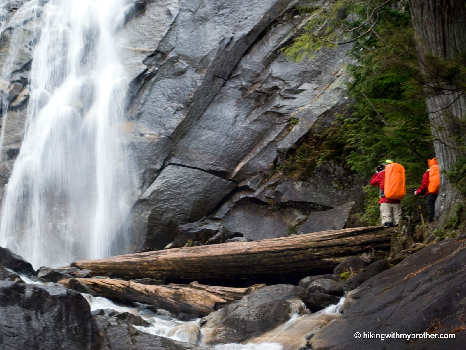
Lower tier of Bridal Veil Falls. If you have excellent route finding skills and scrambling skills, you can follow the path to the right of the falls — the direct route to Lake Serene. Otherwise, backtrack down to the Lake Serene Trail.
SER005
Location: 47.789418, -121.569644
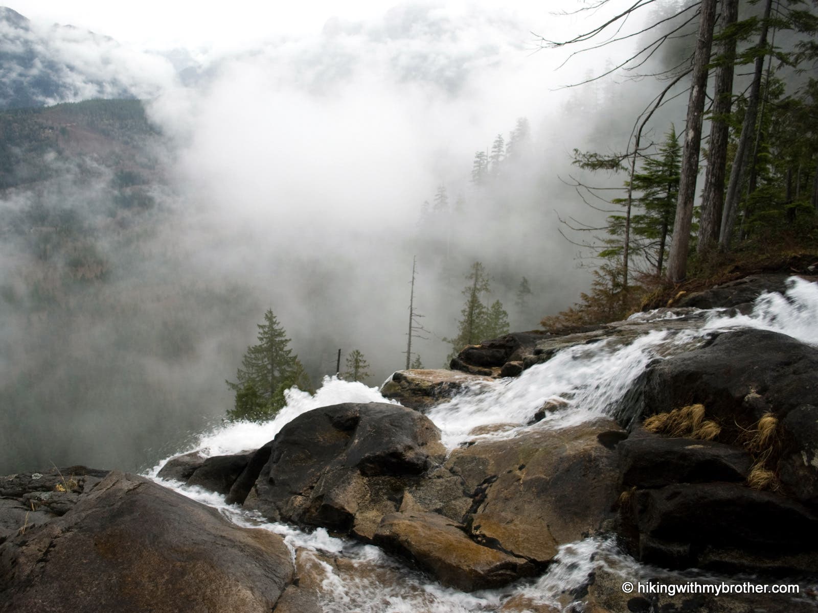
Top of Bridal Veil Falls.
SER006
Location: 47.789167, -121.570371
Upper Falls.
SER007
Location: 47.786107, -121.570952
Follow a short spur down to the Valley View Lookout.
SER008
Location: 47.784791, -121.572062
Turn right at the junction to go up to Lunch Rock.
SER009
Location: 47.784292, -121.572276
Lunch Rock.
Lake Serene
Location: 47.784211, -121.572315
Frozen Lake Serene. The crags of Mount Index rise above its shores.
Trailhead
Location: 47.80904, -121.573859
Bulletin marking the start of the trail.
Follow the hiker
Location: 47.807325, -121.573564
At a junction in the road, a hiker sign points toward the correct way.
Signpost
Location: 47.792804, -121.570491
Turn right to go uphill to Bridal Veil Falls, or continue straight to go to Lake Serene.
Stairway to Veil
Location: 47.790317, -121.569241
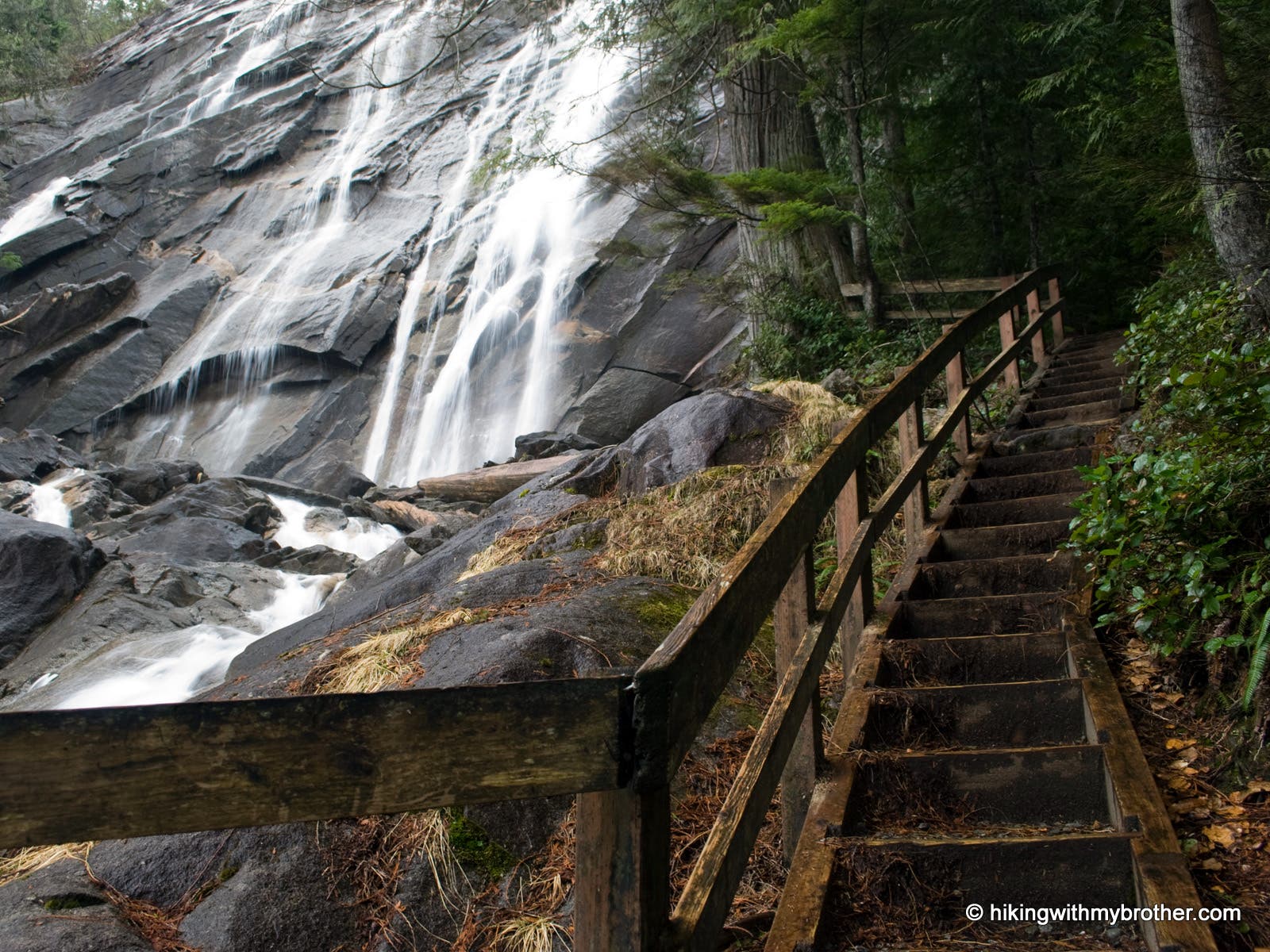
A wooden staircase hugs the creek on the final approach to the Falls.
Base of Veil
Location: 47.790151, -121.569268
Hikers admiring the base of the Falls.
Drop off
Location: 47.78943, -121.569541
Standing near the top of Bridal Veil Falls.
Upper Falls
Location: 47.789156, -121.570249
View of the crashing Upper Falls.
Scrambling
Location: 47.788335, -121.570807
Scrambling up tree roots on the rough forest path.
Lunch Rock
Location: 47.784269, -121.572191
A popular hangout for sun worshipers in the summer, lunch rock is the perfect ending for views of Lake Serene.
Valley Views
Location: 47.787902, -121.564332
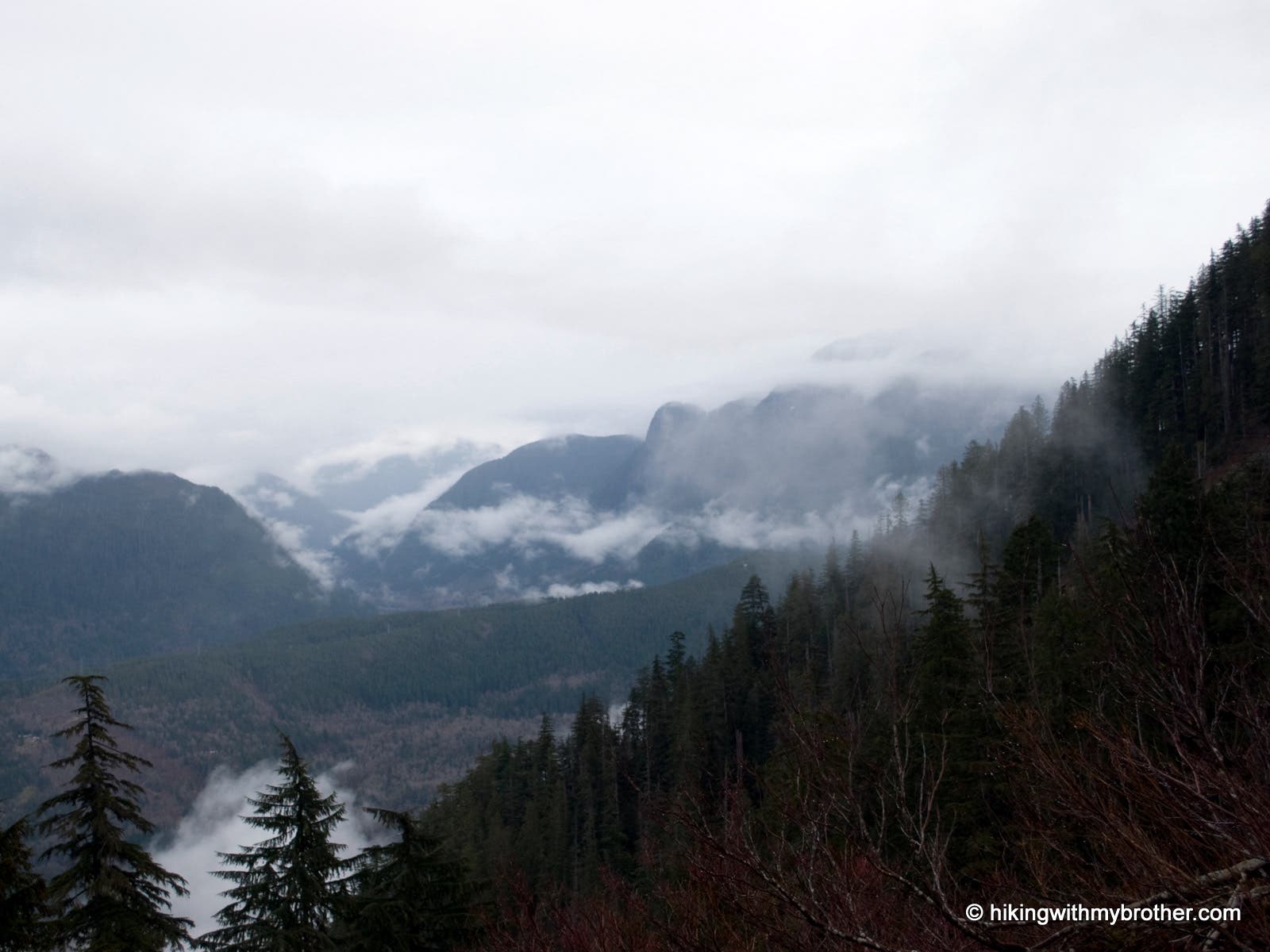
Views of valley and peaks.