Published September 20, 2013 03:30PM
Seattle, WA: Boulder River Trail
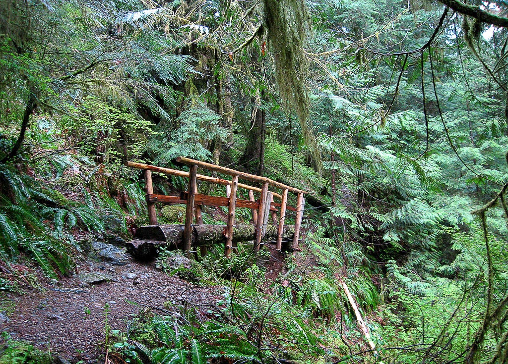
This all-season, 7-mile loop in the Boulder River Wilderness gently ascends through fast-growing (and fast-falling) alders, fragrant cedars, and rugged Douglas firs.
'Forest Service'
Trail Facts
- Distance: 11.3
Waypoints
BRT001
Location: 48.250655, -121.815441
Trail begins along old roadway
BRT002
Location: 48.249912, -121.822586
Trail angles W toward creek valley
BRT003
Location: 48.24351, -121.826813
Enter Boulder River Wilderness Area
BRT004
Location: 48.242167, -121.825869
View fantail waterfall W across Boulder River
BRT005
Location: 48.240868, -121.820908
Alder forest gives way to hemlock, fir, and scattered cedar
BRT006
Location: 48.237423, -121.811557
Long traverse through old second-growth forest. Look for signs of pre-chainsaw logging, like stumps with spring-board notches
BRT007
Location: 48.233106, -121.801944
Begin steepest climb of hike
BRT008
Location: 48.229218, -121.796193
High point of trail (1,500 ft.)
BRT009
Location: 48.226593, -121.79039
Trail nears creek briefly; good spot to picnic or refill bottles
BRT010
Location: 48.223915, -121.78673
Trail end at river. A bridge fell decades ago and hasn’t been replaced; good campsites @ riverside. Retrace your steps to return to car