Seattle, WA: Bandera Mountain

Although the trek to Bandera Mountain is often described by locals as brutal and intense, the breathtaking summit views are well worth the effort. Built as an access trail for fire crews in the summer of 1958, the route crests two Cascade peaks and gains 3,000 feet in 3.9 miles. From the parking area at the end of FR 9031, head northwest on Ira Spring Memorial Trail, a repurposed fire road.
Less than 2 miles in, the route leaves the road, climbing sharply to a ridgeline overlooking Mason Lake. Turn right on the ridge and climb a rocky path to a 5,157-foot summit. From here, follow the ridgetop another 0.6 mile to Bandera’s 5,241-foot summit. Drop your pack and take in the scene. To the south, the slopes of Bandera Mountain drop down to the Snoqualmie River valley. In the distance, Mount Rainier looms over a sprawling, peak-dotted landscape. Follow the same route back to the trailhead.
-Mapped by Nathan and Jeremy Barnes, hikingwithmybrother.com


Trail Facts
- Distance: 12.6
Waypoints
BAN001
Location: 47.4245742, -121.5832257
From the parking area, follow Ira Spring Memorial Trail #1038 (originally the Mason Lake Trail). The route starts with a mild climb along an old logging road. The forest is still recovering from previous wildfires, and at times you can still catch the faint smell of charred wood mixed with the heavy aromas of pollen and dust.
BAN002
Location: 47.4255033, -121.5797925
Cross a small creek and continue east toward Mason Creek.
BAN003
Location: 47.4238555, -121.5767562
Cross Mason Creek, which cascades down small boulders on the left. Note: This is the last water source en route to the summit.
BAN004
Location: 47.4178957, -121.5634203
The old logging road ends here. Prepare for a steep climb to the ridgeline.
BAN005
Location: 47.4148756, -121.5577555
The trail veers left and climbs a set of switchbacks.
BAN006
Location: 47.4187161, -121.5565217
Bear right onto Bandera Mountain Trail for a stiff, 0.2-mile climb to the ridgeline. I-90 can be seen in the distance.
BAN006
Location: 47.4196525, -121.5535283
Crest the ridgetop and head east toward a 5,157-foot, unnamed summit (northwest of Bandera Mountain). Look north for views of Mason Lake, a small tarn tucked in a bowl beneath Mount Defiance.
BAN007
Location: 47.4179756, -121.5474772
Summit the first peak of the day. Next, follow the ridgetop 0.6 mile to Bandera’s summit. Optional: To cut 1.2 miles from this trip, turn around and head back to the trailhead.
BAN008
Location: 47.4154274, -121.5379715
The trail ends on the 5,241-foot summit of Bandera Mountain. To the south, the slopes of Bandera Mountain drop down to the Snoqualmie River valley. In the distance, Mount Rainier looms over a sprawling landscape dotted with peaks. McClellan Butte and Mount Gardner rise behind the snaking ribbon of concrete that is I-90. Follow the same route back to the trailhead.
Mason Creek
Location: 47.4238555, -121.5766168
Cascade on Mason Creek.
Steep Ascent
Location: 47.4197614, -121.5547943
Looking down on the route’s steepest section. I-90 is in the background far below.
On the Ridge
Location: 47.4184692, -121.5493548
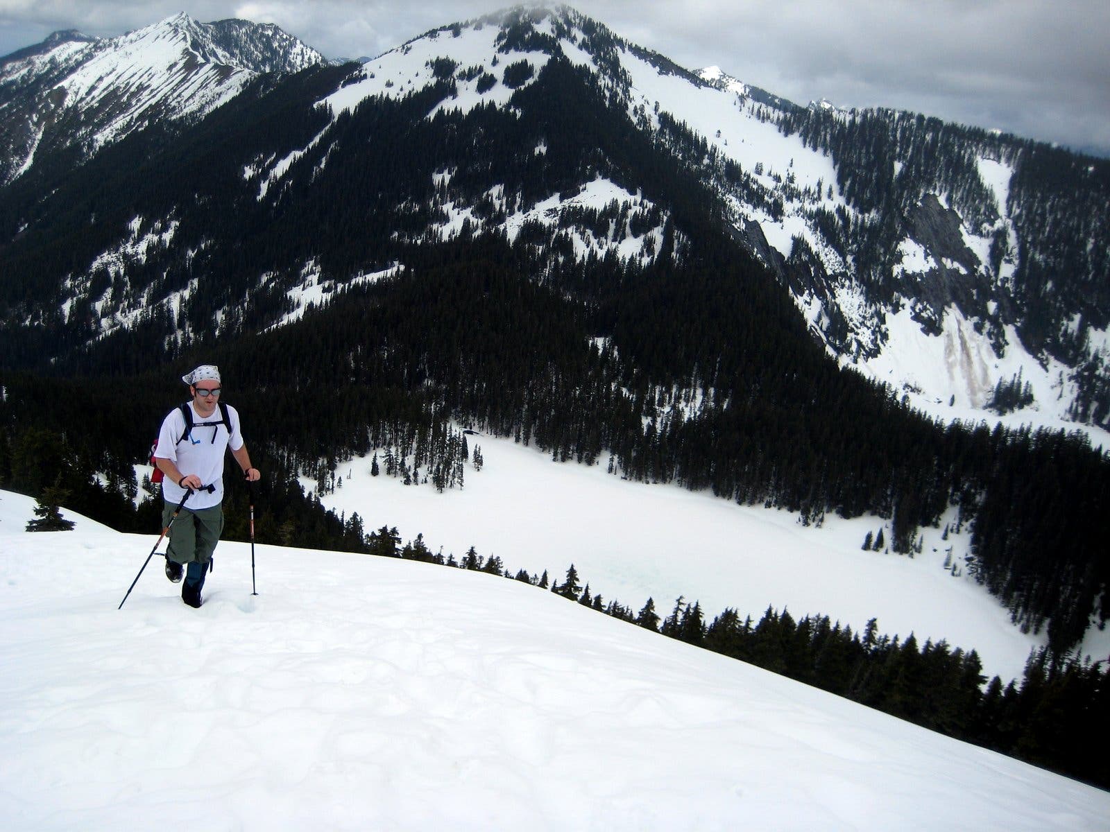
Heading up the ridge of Bandera. Snow-covered Mason Lake and Mount Defiance are in the background.
Snoqualmie Valley
Location: 47.4179829, -121.5473485
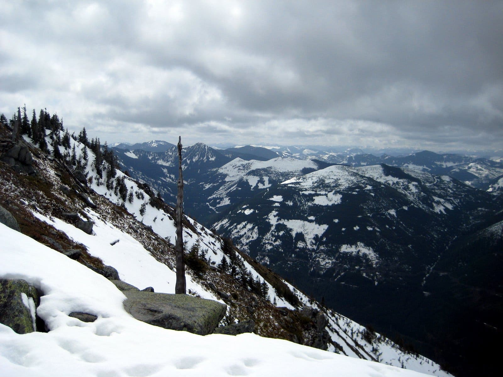
Looking west down the Snoqualmie River valley. I-90 snakes under McClellan Butte.
Views from Bandera Mountain
Location: 47.4154274, -121.5378428
View east toward Snoqualmie Pass.
Old Logging Road
Location: 47.4206979, -121.5730977
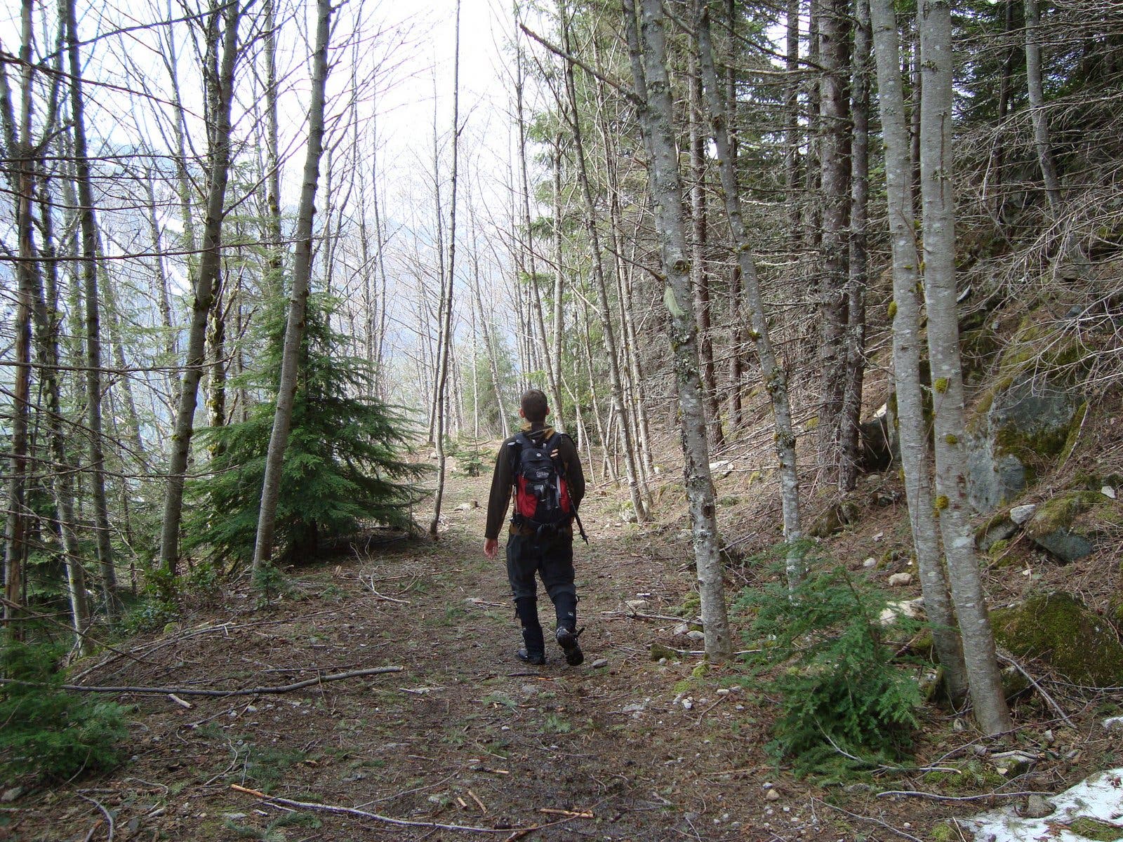
Descending the old logging road.