Published September 20, 2013 03:30PM
Seattle: Tiger Mountain
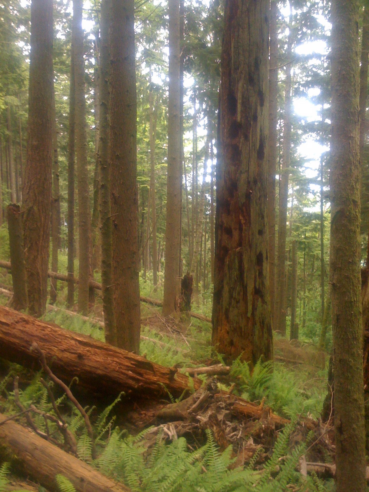
This challenging 2,000-foot climb coils through 7.9 miles of mixed forest then unloads killer views from the tops of two favorite local peaks.
'Chris Butterworth'
Trail Facts
- Distance: 12.5
Waypoints
WTM001
Location: 47.529857635498, -121.995460510254
Tradition Lake trailhead; hike SW from lot
WTM002
Location: 47.5291938781738, -121.996589660645
Follow rerouted trail markers for West Tiger Mountain
WTM003
Location: 47.5272216796875, -121.997451782227
Turn L off of main trail; proceed through stile onto railroad grade
WTM004
Location: 47.5271224975586, -121.987167358398
Turn L @ trail junction
WTM006
Location: 47.5184326171875, -121.981323242188
Cross large wooden bridge; small waterfall ahead
WTM008
Location: 47.5094909667969, -121.988861083984
Tom’s Crossing. Turn L @ T; proceed to summit of West Tiger Mnt. #2
WTM009
Location: 47.5086479187012, -121.985137939453
West Tiger Mtn. Summit 2 (2741 ft.); descend back to Tom’s Crossing
WTM010
Location: 47.5094909667969, -121.988861083984
Tom’s Crossing; veer L on trail
WTM011
Location: 47.5122261047363, -121.989837646484
West Tiger Mtn. Summit 3 (2522 ft.); bluebird views of Mount Si, Puget Sound and Seattle skyline; continue N, descending on well-established trail back to the parking lot
WTM005
Location: 47.5264854431152, -121.979156494141
Follow sharp switchbacks up washed out mountain flank
WTM007
ADVERTISEMENT
Location: 47.5097465515137, -121.978950500488
Swing N-NW up tight switchbacks