Published September 20, 2013 03:29PM
Seattle: Summit Lake and Bearhead Mountain
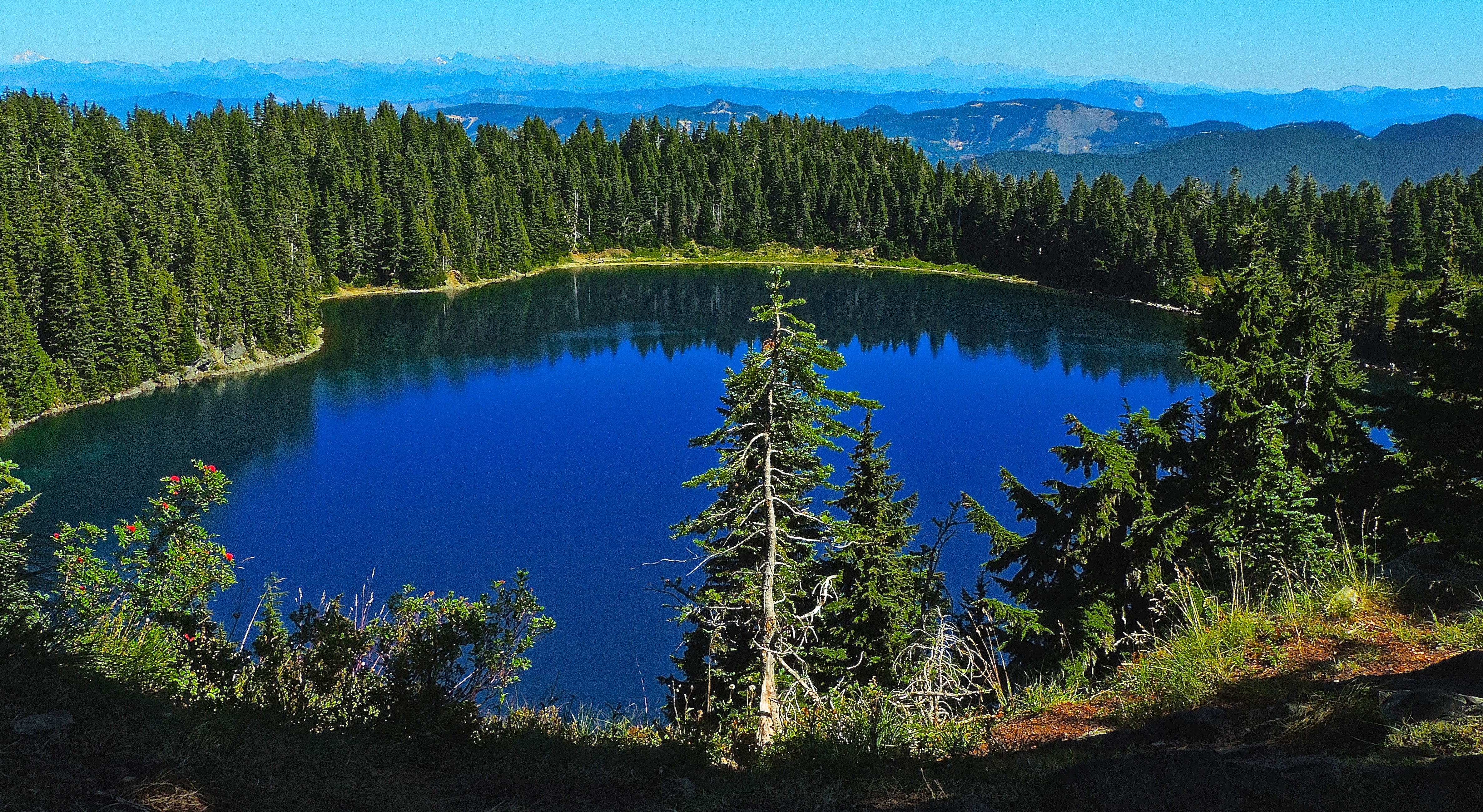
This 9.4-miler leads to a serene mountain lake and a ragged peak in Snoqualmie National Forest. Earmark a weekend to explore both, or divide it into two shorter dayhikes.
'Peter Stevens'
Trail Facts
- Distance: 7.6
- Miles from city center: 68
Waypoints
SBL001
Location: 47.0314712524414, -121.826934814453
Begin hiking from E side of parking lot
SBL002
Location: 47.0318260192871, -121.823501586914
Bridge spans over stream; continue up switchback
SBL003
Location: 47.0308876037598, -121.82258605957
Trail levels out and enters the 14.300-acre Clearwater Wilderness
SBL004
Location: 47.0313529968262, -121.820152282715
Turn L @ Trail 1177 toward Summit Lake
SBL005
Location: 47.0399360656738, -121.829002380371
Primitive campsites near Summit lake (follow LNT rules); ditch packs and veer N to climb short ridgeline
SBL006
Location: 47.0429077148438, -121.831825256348
Killer views of lake below and Mt.Rainier; return to lake, then backtrack 1.4 miles to main trail intersection
SBL007
Location: 47.0312576293945, -121.820121765137
Continue straight to climb Bearhead Mtn.
SBL008
Location: 47.0260810852051, -121.821212768555
Climb long, steep ridgeline ornamented by magenta paintbrush, vanila leaf, and larkspur
SBL009
Location: 47.0182495117188, -121.816261291504
Skirt ridgeline on Trail 1179A
SBL010
Location: 47.0208702087402, -121.815979003906
Nearby peaks present a stunning horizon
SBL011
Location: 47.0235977172852, -121.815727233887
ADVERTISEMENT
Summit: Bearhead Mountain (6,089 ft.) with 360-degree views to Mt.Baker, Mt.Rainier, and eastern plains. Backtrack to WPT 7 and turn W back to parking lot