Published September 20, 2013 03:30PM
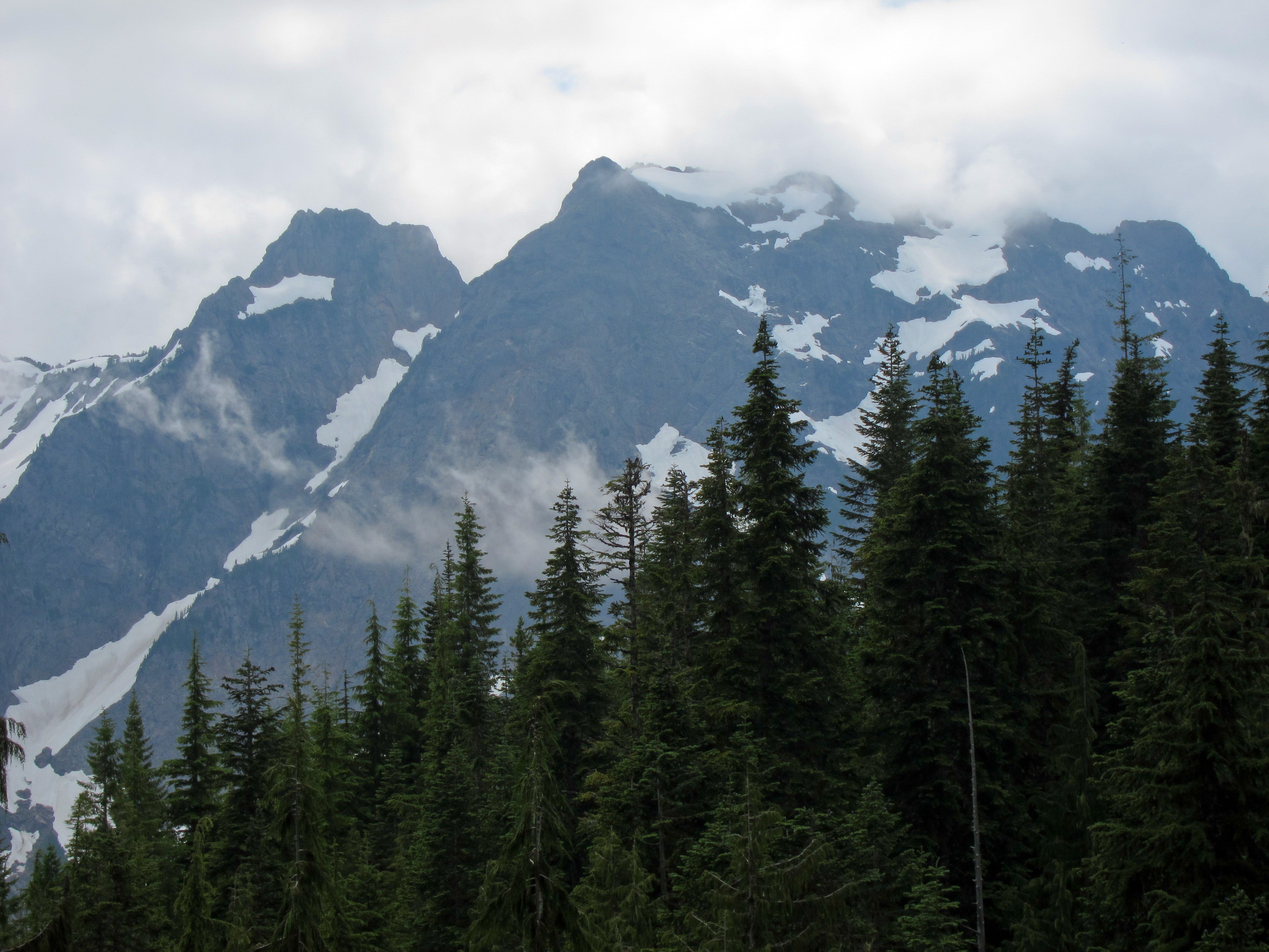
Seattle: Mount Dickerman
A stiff climb is rewarded with Lord-Of-The-Rings-like views on this 8.6-mile, berry-strewn trek.
'Miguel Vieira'
Trail Facts
- Distance: 5.0
- Miles from city center: 71
Waypoints
MDT001
Location: 48.051815032959, -121.487342834473
Trailhead
MDT002
Location: 48.0516166687012, -121.483406066895
Start switchbacks through hemlock and scattered cedar forest
MDT003
Location: 48.0544967651367, -121.47925567627
Switchbacks continue past 3,500 ft. and enter Douglas and alpine firs; look for blacktail deer in beargrass
MDT004
Location: 48.0569915771484, -121.479476928711
Long traverse N into alpine ecosystem; forest opens to better views
MDT005
Location: 48.0622749328613, -121.480850219727
Trail crosses avalanche chute; can be tricky when creek is high
MDT006
Location: 48.0639762878418, -121.483184814453
Enter huckleberry fields near 4,500 ft.; share berries with bears
MDT007
Location: 48.0656471252441, -121.484130859375
Trail turns and ascends along ridgeline to E, toward summit
MDT008
Location: 48.0664749145508, -121.482818603516
Views W to Perry Creek Basin and S into Stilliguamish Basin
MDT009
Location: 48.0664253234863, -121.477867126465
Huckleberry patches give way to alpine terrain
MDT010
Location: 48.0658836364746, -121.475601196289
Big views down to Buck Creek; look for marmots and redtail hawks
MDT011
Location: 48.068962097168, -121.471000671387
ADVERTISEMENT
Summit of Dickerman Mountain; 360-degree view of northern Cascades