Published September 20, 2013 03:31PM
Seattle: McClellan Butte
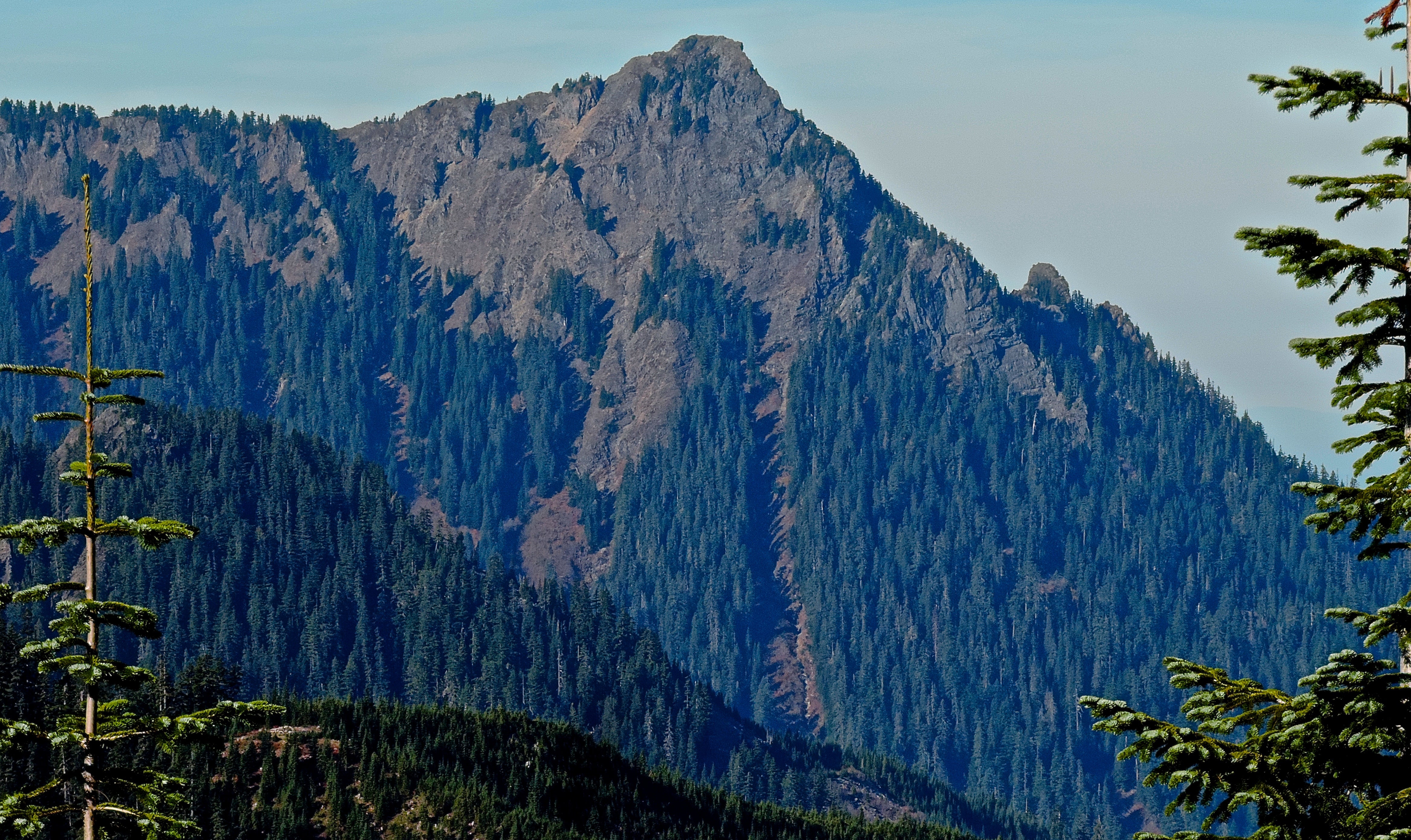
The 4.3-mile climb to McClellan Butte is steep and rugged, but the payoff on top of this strikingly sharp summit is nothing short of spectacular. Wear sturdy boots for extra support.
'Peter Stevens'
Trail Facts
- Distance: 6.7
- Miles from city center: 42
Waypoints
MBT001
Location: 47.4123420715332, -121.590339660645
McClellan Butte trailhead
MBT002
Location: 47.4077835083008, -121.59130859375
Turn R onto Iron Horse Trail, an abandoned RR grade open to hiking and mountain biking
MBT003
Location: 47.409610748291, -121.591407775879
Camping platforms
MBT004
Location: 47.4119606018066, -121.595970153809
Turn L onto McClellan Butte trail near Alice Creek
MBT006
Location: 47.4063568115234, -121.616012573242
Trail washout; start of scenic traverse beneath cliffs
MBT007
Location: 47.4002494812012, -121.628433227539
Hairpin turn; head NE up dramatic, sparsely forested mountainside
MBT008
Location: 47.4015998840332, -121.627655029297
Short downhill section leads to a seasonal tarn
MBT009
Location: 47.4047813415527, -121.62508392334
Climb rocky, exposed ridgeline to the pyramid-shaped summit
MBT010
Location: 47.406925201416, -121.622108459473
McClellan butte (5,162 ft.); outstanding views of neighboring Mts.Kent and Gardner to S
MBT005
Location: 47.4091529846191, -121.606094360352
Sharp string of switchbacks ahead