Published September 20, 2013 03:17PM
Seattle: Easton Ridge to Mt. Baldy
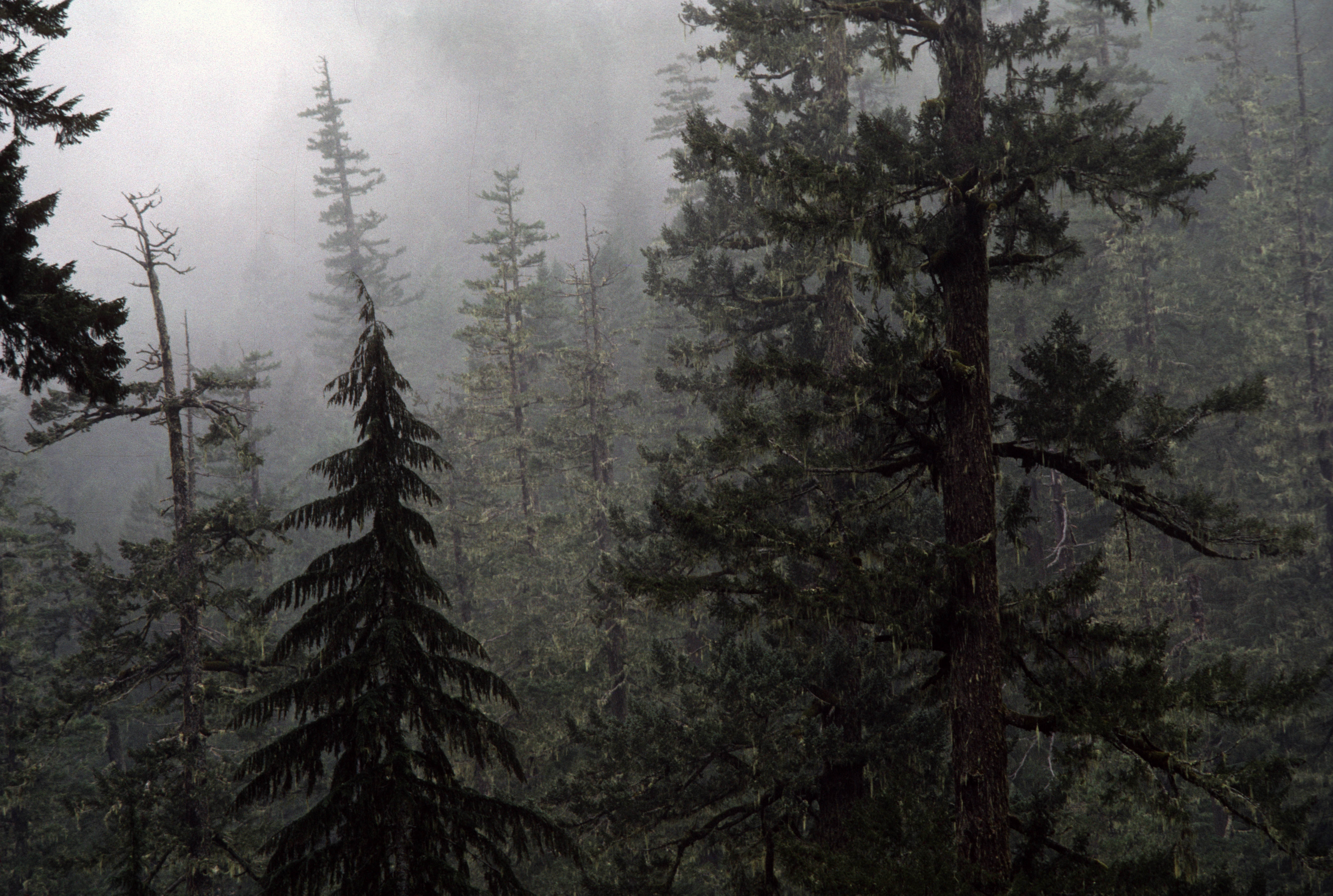
Gain more than 2,500 feet on this steep 7.6-mile hike though an open evergreen forest to a view-blessed peak in Wenatchee National Forest. An exceptional wildflower hike in late spring.
'U.S. Forest Service- Pacific Northwest Region'
Trail Facts
- Distance: 6.2
- Miles from city center: 71
Waypoints
MBT001
Location: 47.2668838500977, -121.174713134766
Head ENE on trail along Silver Creek
MBT002
Location: 47.2675514221191, -121.172332763672
Cross Silver Creek on a good footbridge; watch for unsigned trail veering L uphill
MBT003
Location: 47.2662010192871, -121.170280456543
L @ old road in clear-cut section of forest; turn L again, heading uphill
MBT004
Location: 47.2651824951172, -121.164070129395
L @ 3-way onto Domerie Divide Trail
MBT005
Location: 47.2673988342285, -121.164215087891
Heading N along Roslyn city watershed
MBT006
Location: 47.268383026123, -121.164733886719
Stunning vista looking N up Silver Creek Gorge at Thomas Mtn.
MBT007
Location: 47.272834777832, -121.159217834473
Keep heading NE up steeper grade
MBT008
Location: 47.2737159729004, -121.15616607666
Pass nice campsite on ridge overlooking Domerie Creek Valley
MBT009
Location: 47.275318145752, -121.154182434082
Continuing NE on now very steep tread
MBT010
Location: 47.2758827209473, -121.153015136719
Grand lunch spot on open ridge; views SE of Mount Baldy, S of Domerie Creek Valley
MBT011
Location: 47.2775993347168, -121.152069091797
Turn R @ 3-way near Point 4,942
MBT012
ADVERTISEMENT
Location: 47.2739868164062, -121.142623901367
Trail traverses SE to Point 4,761
MBT013
Location: 47.2711219787598, -121.134712219238
Mount Baldy (5,107 ft.); views of the Cle Elum Valley; backtrack to car