Published September 20, 2013 03:30PM
Seattle: Bridal Veil Fall
Switchback 1,800 vertical feet to a sapphire-blue glacial lake in the shadow of Mt. Index on this moderate 6.4-mile round trip- with a killer picnic at Bridal Veil Falls.
'Scott Meis'
Trail Facts
- Distance: 4.9
Waypoints
BVT001
Location: 47.809986114502, -121.573799133301
Head E, trail starts as old logging road
BVT002
Location: 47.8070640563965, -121.573318481445
Spur trail R to Bridal Veil Falls
BVT003
Location: 47.7912445068359, -121.571060180664
Grove of old hardwoods in otherwise coniferous forest
BVT004
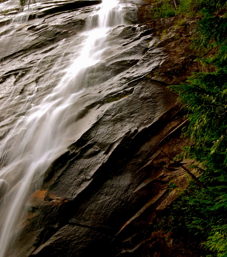
Location: 47.7901840209961, -121.569618225098
Bridal Veil Falls. Stunning flow over ledges, views N to snow-capped Cascades. Return to main trail
BVT005
Location: 47.791259765625, -121.568481445312
Cross wooden bridge, great view of lower falls
BVT006
Location: 47.7913131713867, -121.564994812012
View of Skykomish River Valley and Cascade Range
BVT008
Location: 47.7852363586426, -121.570472717285
Cascade Range vista
BVT009
Location: 47.7842597961426, -121.572128295898
Serene Lake (2,534 ft.) sits in saddle below Mt. Index. Rest @ large lunch rock and look for rock climbers on spires of Mt. Index. Retrace steps to trailhead
BVT007
Location: 47.7857208251953, -121.571044921875
View of Cascades, Town Wall in Index, and flume on Skykomish River