Scottsbluff, NE: Saddle Rock Trail

A challenging hike in some of western Nebraska’s most interesting terrain, this 3.8-mile out-and back begins at the Scotts Bluff National Monument visitor center. The paved path winds uphill almost immediately after leaving the trailhead, crossing an open prairie and climbing sweeping switchbacks on the side of the bluff. Below the spires of Saddle Rock, the trail passes through a 100-foot tunnel and then rounds the saddle itself as it continues to climb. Near mile 1.5, the trail levels and winds around the top of the bluff toward two overlooks. If lightning isn’t a danger, spend some time resting and wandering the trails at the top before descending the same trail toward the visitor center and museum.
Note: Although this mapped 4-mile route is recommended, it’s possible to drive to a parking area near the summit and still hit the overlook highlights without strenuous walking.
-Mapped by Kristy Holland





Trail Facts
- Distance: 6.1
Waypoints
SRT001
Location: 41.8284421, -103.7073112
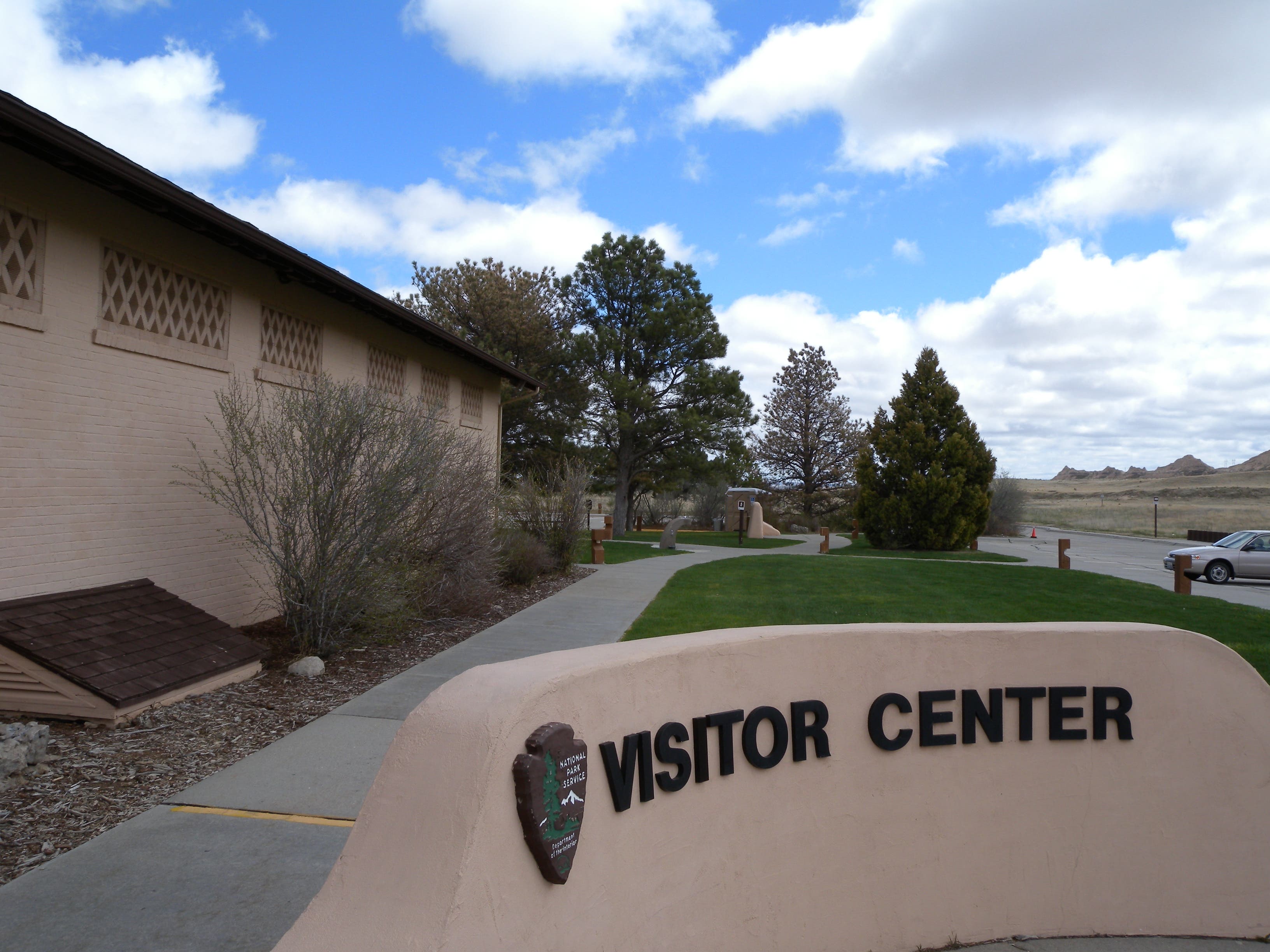
Follow the Saddle Rock Trail from the east end of the visitor center. Restrooms and a water fountain on this side of the building are the only ones on the trail.
SRT002
Location: 41.8318957, -103.7000799
About half a mile from the trailhead, the pavement dips into a wash known as Scotts Spring. There are several legends about how this spring and massif came to be named for fur company clerk Hiram Scott in the late 1820s.
SRT003
Location: 41.8353391, -103.6982051
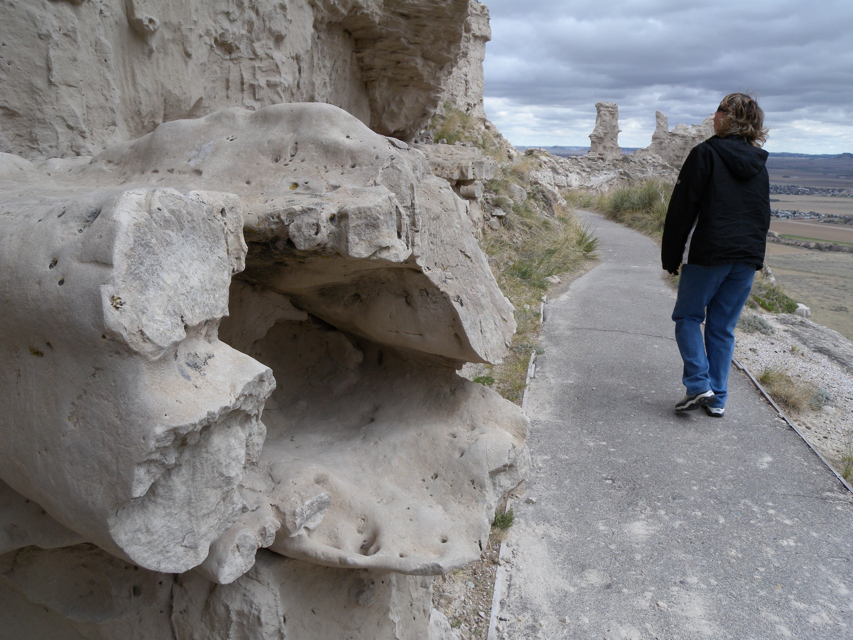
A sheer rock face abuts the trail near mile 0.8. Up ahead, a huge switchback leads uphill toward the entrance to a tunnel.
SRT004
Location: 41.835415, -103.6962309
The tunnel through this sandstone fin beneath Saddle Rock is about 100 feet long. Watch for snakes in the tunnel’s shady passage, a cool retreat from the scorching sun.
SRT005
Location: 41.8358207, -103.6963892
Several steep switchbacks top out at the craggy edge of Saddle Rock. Don’t venture off the main trail, the crumbling stone can be dangerous to hikers on top of the crumbling rock, and on the trail just below.
SRT006
Location: 41.836708, -103.6982077
You’ll encounter a short set of steps before the final few switchbacks to the summit. Up ahead, signs point downhill hikers toward the museum.
SRT007
Location: 41.8377431, -103.698476
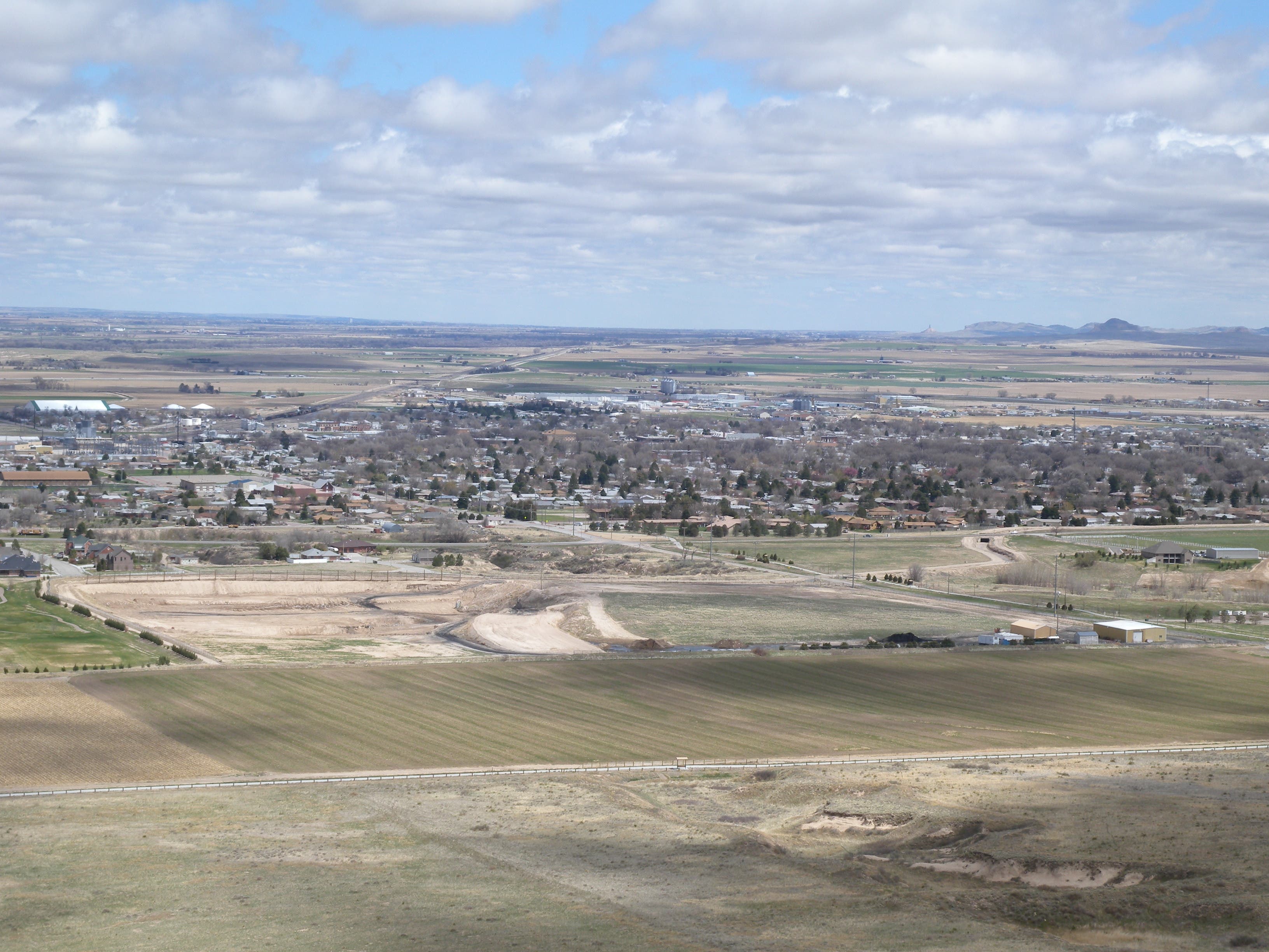
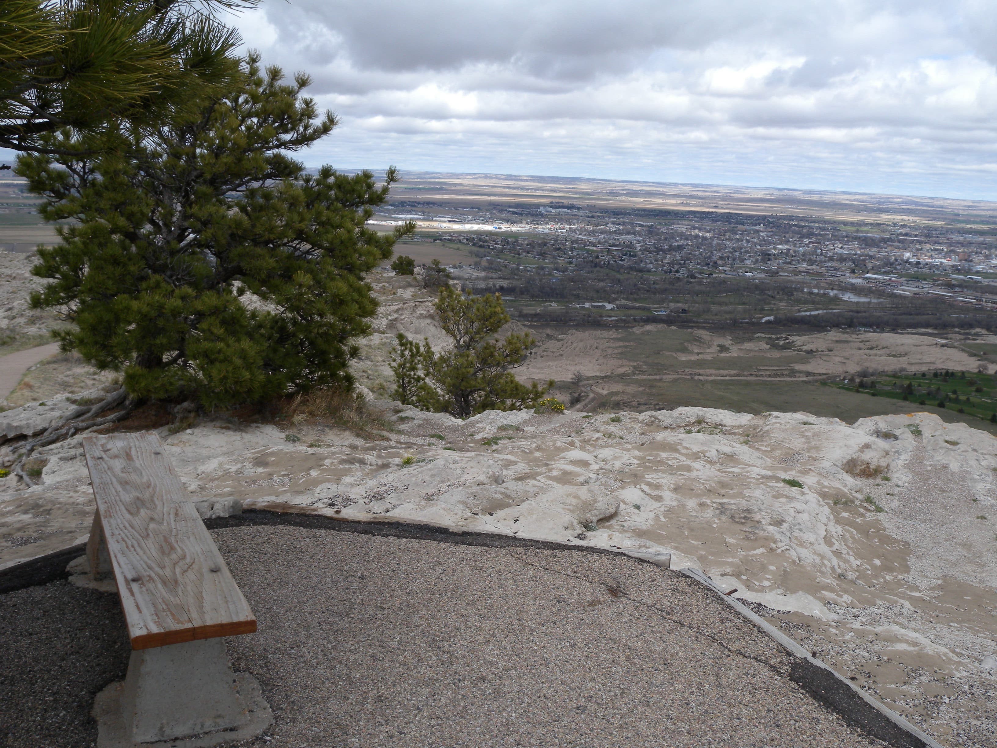
At mile 1.5, near the top of the bluff, the trail splits. Bear right toward the North Overlook, a narrow rock peninsula overlooking the nearby town of Scottsbluff.
SRT008
Location: 41.839114, -103.6990929
Prevailing winds whip up the canyon on the left and make this spot a windy one. Turn around at the bluff’s northernmost point and backtrack past here, bearing right toward the parking lot and the South Overlook Trail.
SRT009
Location: 41.836636, -103.7001926
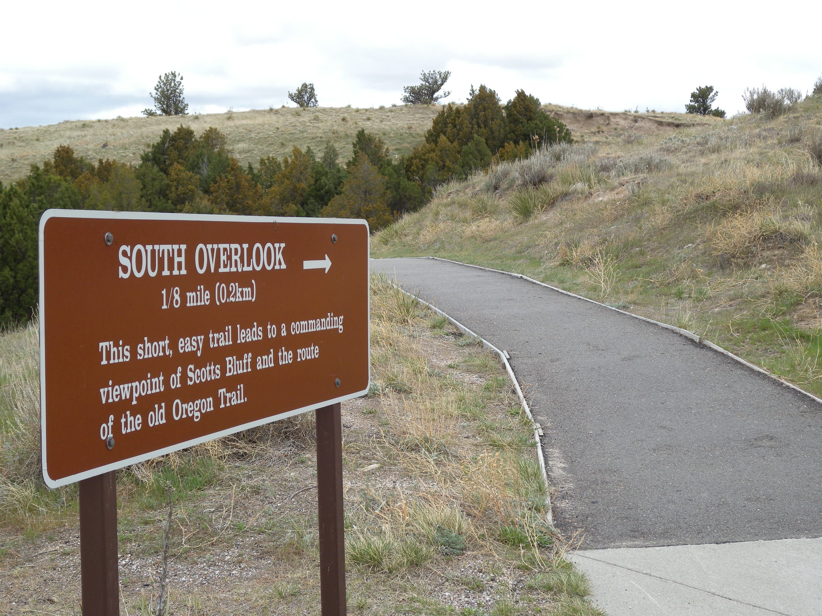
Follow this short trail from the parking lot to the South Overlook. Views from the end of the 200-yard add-on are worth the few extra minutes of easy walking.
Trail Views
Location: 41.8360285, -103.6975157
Looking south, you’ll see the path you just climbed snaking up the opposite side of the bluff.
Visitor Center
Location: 41.828666, -103.7075686
Stop by the museum and visitor center before heading out on this hike. Or better yet, complete the hike before it gets too hot and check out the museum before heading home.
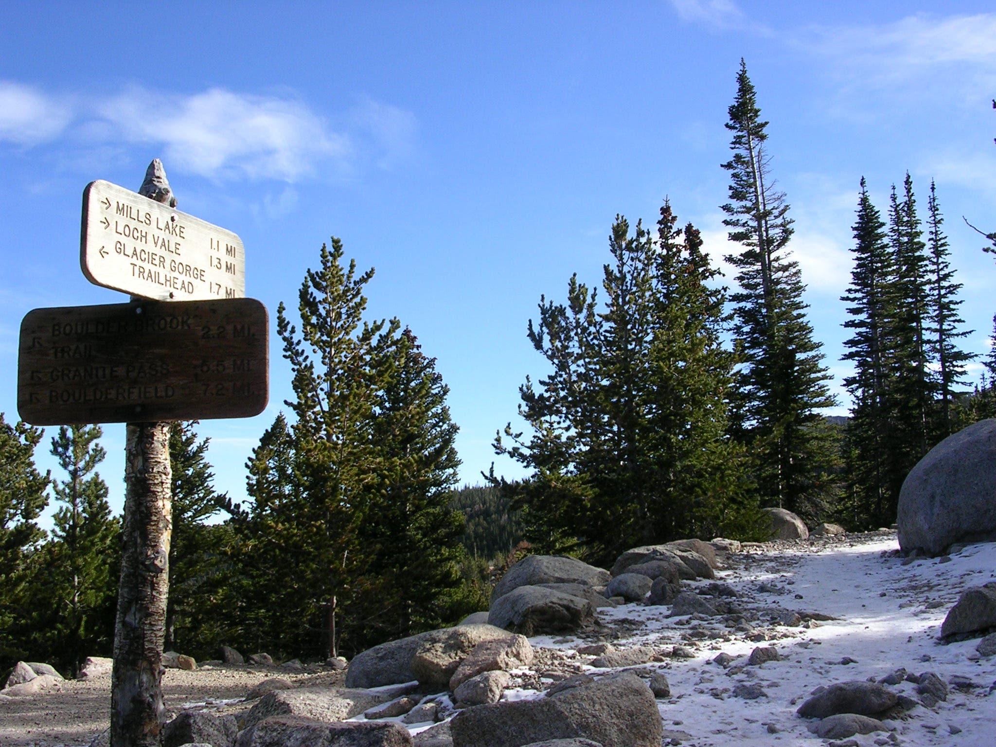
Trail Sign
Location: 41.8284341, -103.7071609
One of the only signs along the route, but the path is paved and easy to follow for its entire length.
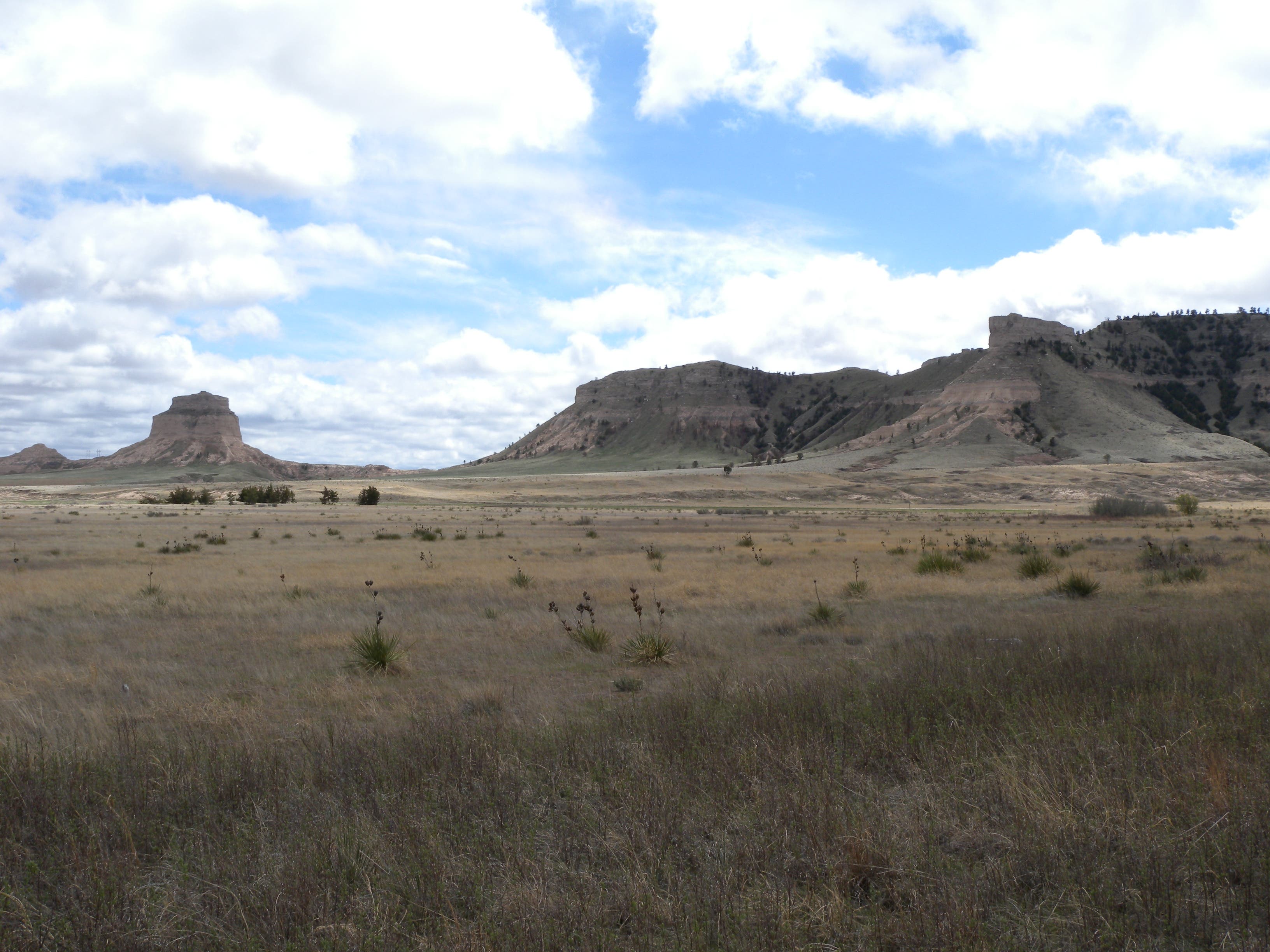
Five Rocks
Location: 41.8301083, -103.7049817
Looking south from the trail, you’ll notice Dome Rock (left) and Crown Rock (right), two of the area’s five prominent landmarks.
Trail
Location: 41.8327351, -103.6982453
Just below the bluff’s South Overlook on your left, you’ll catch this distant view of Saddle Rock and an up-close of the bluff’s eastern face.
Steep
Location: 41.8353411, -103.6981621
The trail cuts into the steep slope of Scotts Bluff as it climbs.
Gering
Location: 41.835407, -103.6961907
Looking east before the tunnel is the small community of Gering.
Tunnel
Location: 41.835385, -103.6961263
The trail passes through a 100-foot tunnel under Saddle Rock.
Tunnel
Location: 41.835469, -103.6960056
Looking south from inside the tunnel.
Handprints
Location: 41.835463, -103.6959815
When the sandstone is saturated it is extremely soft and many hikers have literally pulled handfuls of stone from the walls of the tunnel. Don’t do further damage to the rock.
Saddle Rock
Location: 41.8358247, -103.696357
Steep Drops
Location: 41.8363163, -103.6974996
The sheer cliffs of the bluff drop sharply between the upper and lower sections of trail. Watch your step, there’s no handrail out here.
Concretions
Location: 41.8365501, -103.6980736
Pale lime deposits called concretions jut out of the hillside below the summit. These harder rocks add stability and structure to the soft sandstone.
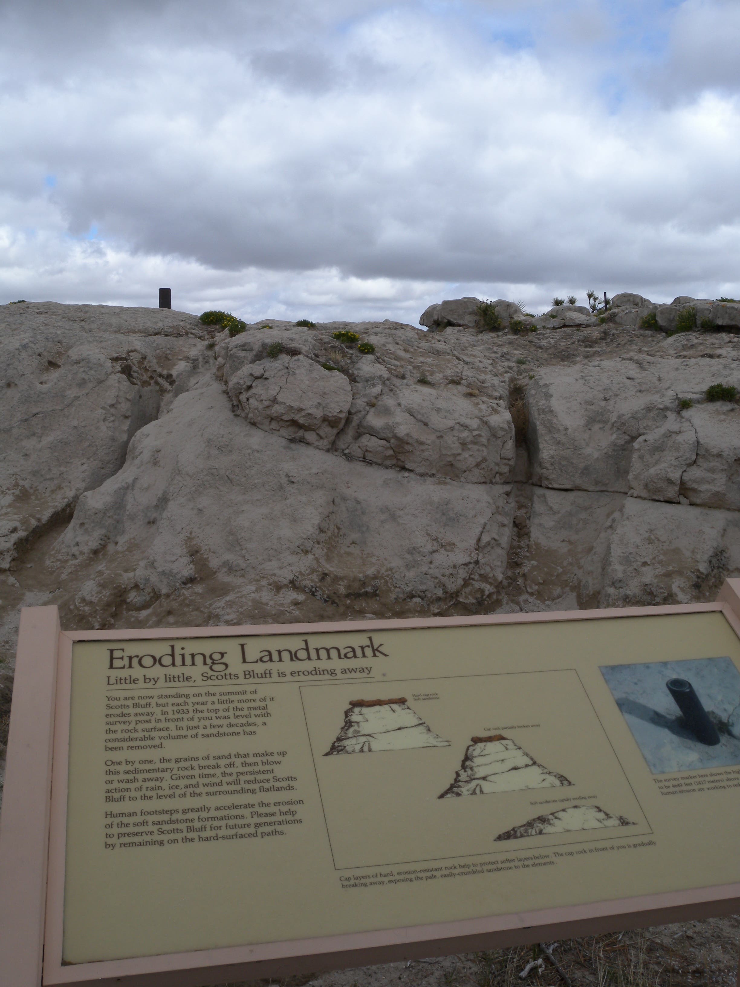
Erosion
Location: 41.8380189, -103.6987227
This display on the bluff-top illustrates the visible erosion occurring atop the capstone. The USGS survey marker on the summit was set flush with the stone surface in 1933.
Bench
Location: 41.8387983, -103.6991
This bench faces north toward the town of Scottsbluff.
Laramie Peak
Location: 41.8398713, -103.6990231
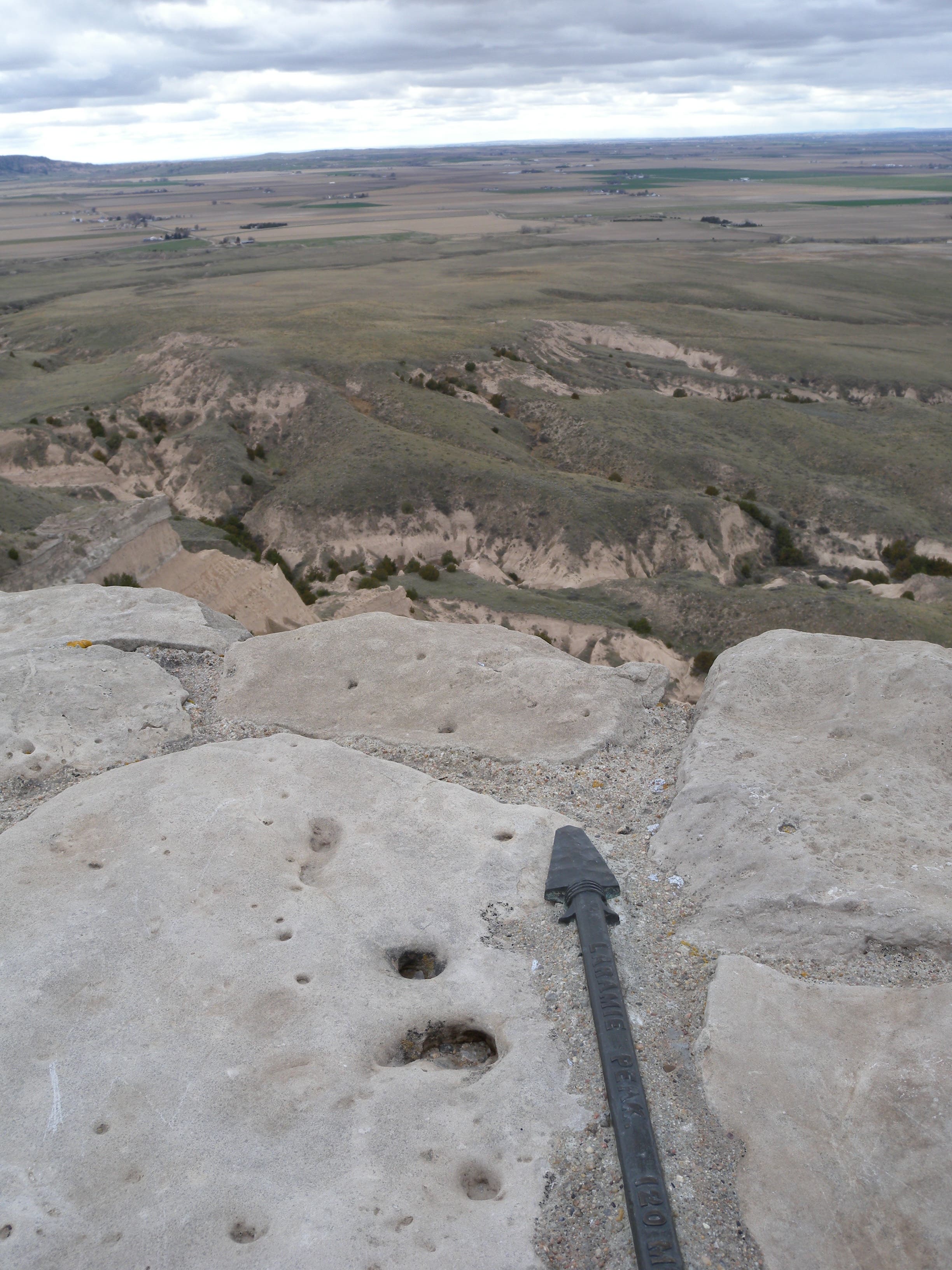
This arrow points northeast toward Laramie Peak: more than 100 miles away, but visible on a clear day.
Canyon
Location: 41.8398433, -103.6990151
Looking west into a windy canyon near the North Overlook.
South Overlook
Location: 41.836632, -103.7001443
A sign in the parking lot points the way down the short path to the South Overlook.
Overlook
Location: 41.8348494, -103.69964
The park road, five rocks, and the trail through Mitchell Pass are all visible from the South Overlook.