Scottsbluff, NE: Daemonelix Loop

The highlights of this 1.1-mile lollipop loop are the three sites where you can examine the corkscrew-like burrows of an ancient beaver, but the short trail is rich with ancient evidence of the area’s flaura and fauna. Beginning at the trailhead parking lot, the wide, gravel path winds uphill through prairie—cheatgrass, lemon scurfpea and prairie sandreed are dominant trailside species. You’ll pass a sand dune outcropping before the trail splits to circle a bluff. A counterclockwise approach will take you past a display explaining the ancient soil exposed in the area, and uphill toward the top of the bluff for an overlook of the Niobrara River Valley. The west side of the loop has the most impressive display of daemonelix and an exposed cliffside near loop end has at least six easy-to-identify examples.
Keep an eye on kids and pets during this family- and pet-friendly hike. Rattlesnakes are common on and near the trail, though they aren’t usually aggressive, they may strike if surprised or threatened.
-Mapped by Kristy Holland
Trail Facts
- Distance: 1.8
Waypoints
DMX001
Location: 42.4249118, -103.7883648
Begin at the parking lot just east of the park entrance. The smooth, gravel path leads gently uphill toward the bluffs.
DMX002
Location: 42.4288319, -103.786667
The gentle grade of the trail increases slightly at this point where the loop splits. Though this route follows the trail (and the signs) to the right, you could follow the trail loop in either direction.
DMX003
Location: 42.4291961, -103.7849423
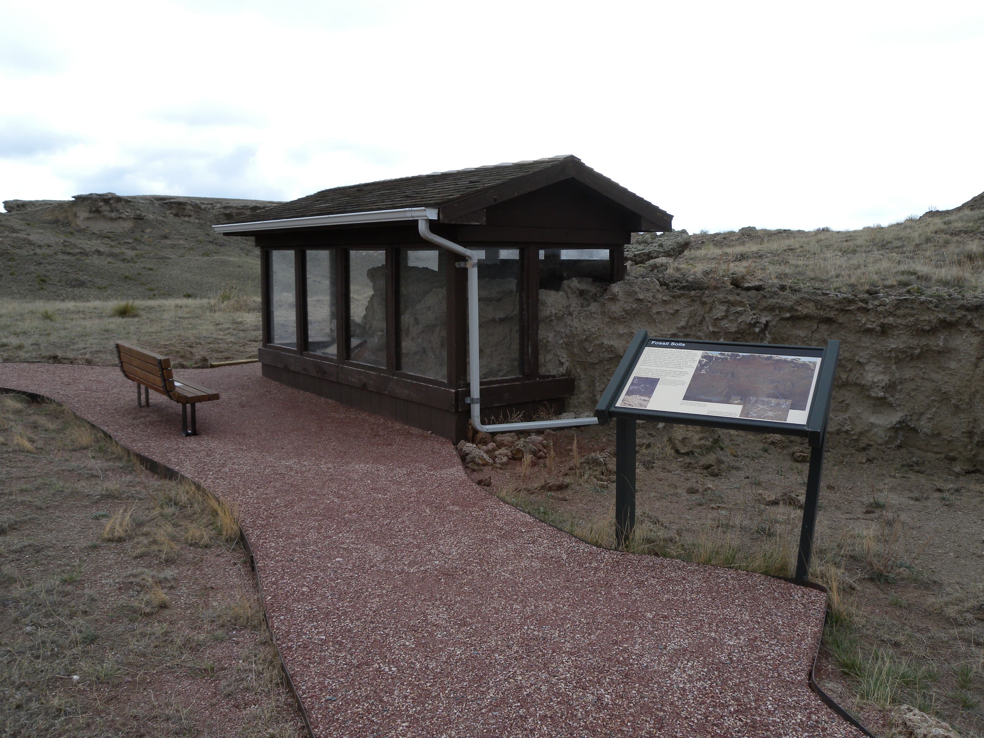
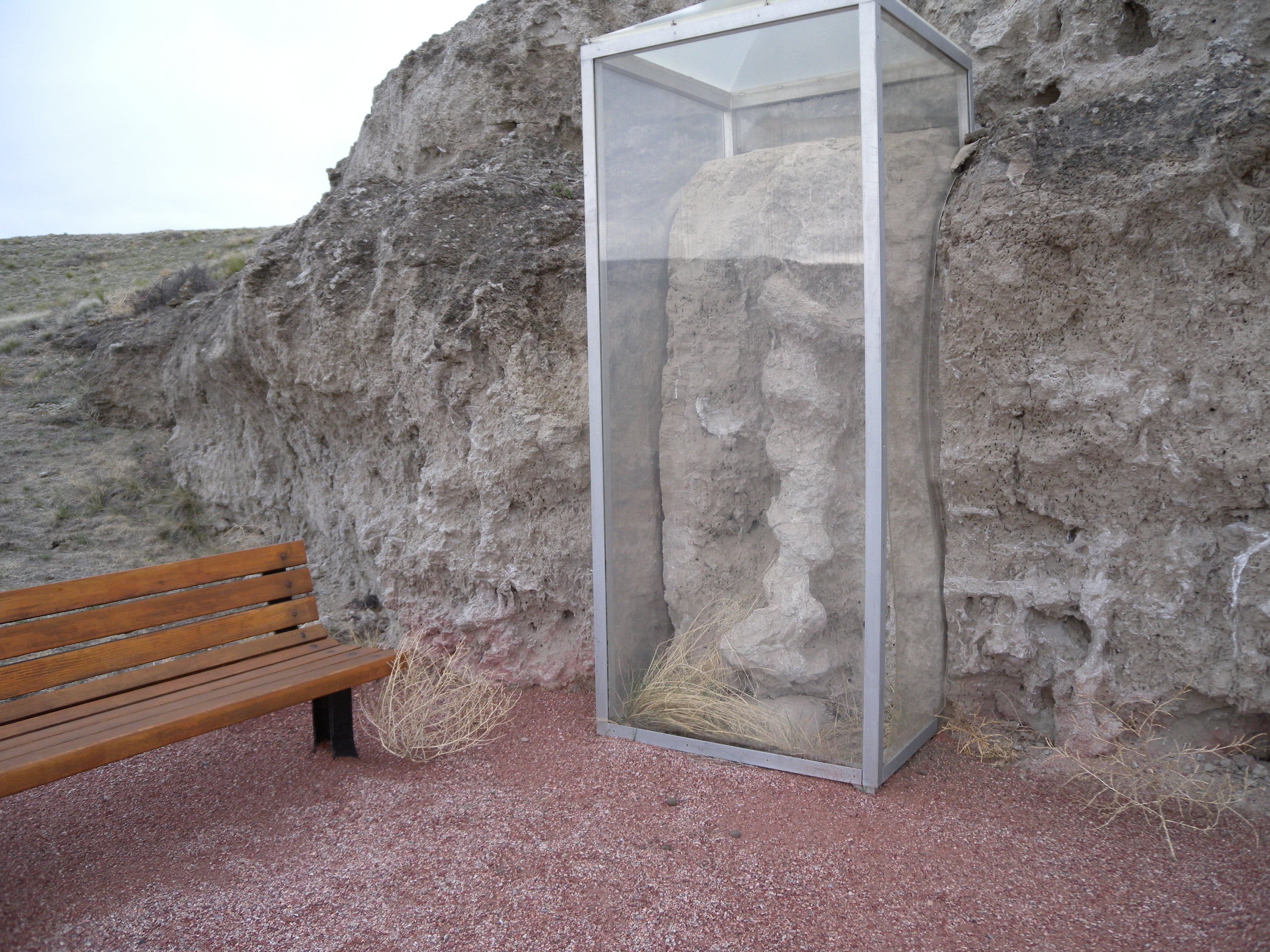
This bench provides a resting opportunity, and a great vantage point to examine a protected sample of the fossilized soil record. Stop here before continuing the climb.
DMX004
Location: 42.4300019, -103.7848189
A switchback and several wooden stairs land at the loop’s high point where there’s a panoramic view of the Niobrara River Valley. This short section of trail over the saddle is the rockiest of the trip.
DMX005
Location: 42.4301642, -103.7862056
There was some controversy about the origins of the fossilized spiraling formations that give this loop its name. Daemonelix, as the ancient burrows are called, also means “Devil’s corkscrew.”
DMX006
Location: 42.429503, -103.7864631
Look left at the cliff side to see several other daemonelix eroding on the hillside. Afternoon shadows help highlight the formations.
DMX007
Location: 42.4252305, -103.7886599
Interpretive signs on this short, paved spur near the trailhead discuss the settler history of the Niobrara Valley, it’s a short, worthwhile side trip.
Ancient Sand Dune
Location: 42.4276895, -103.7874529
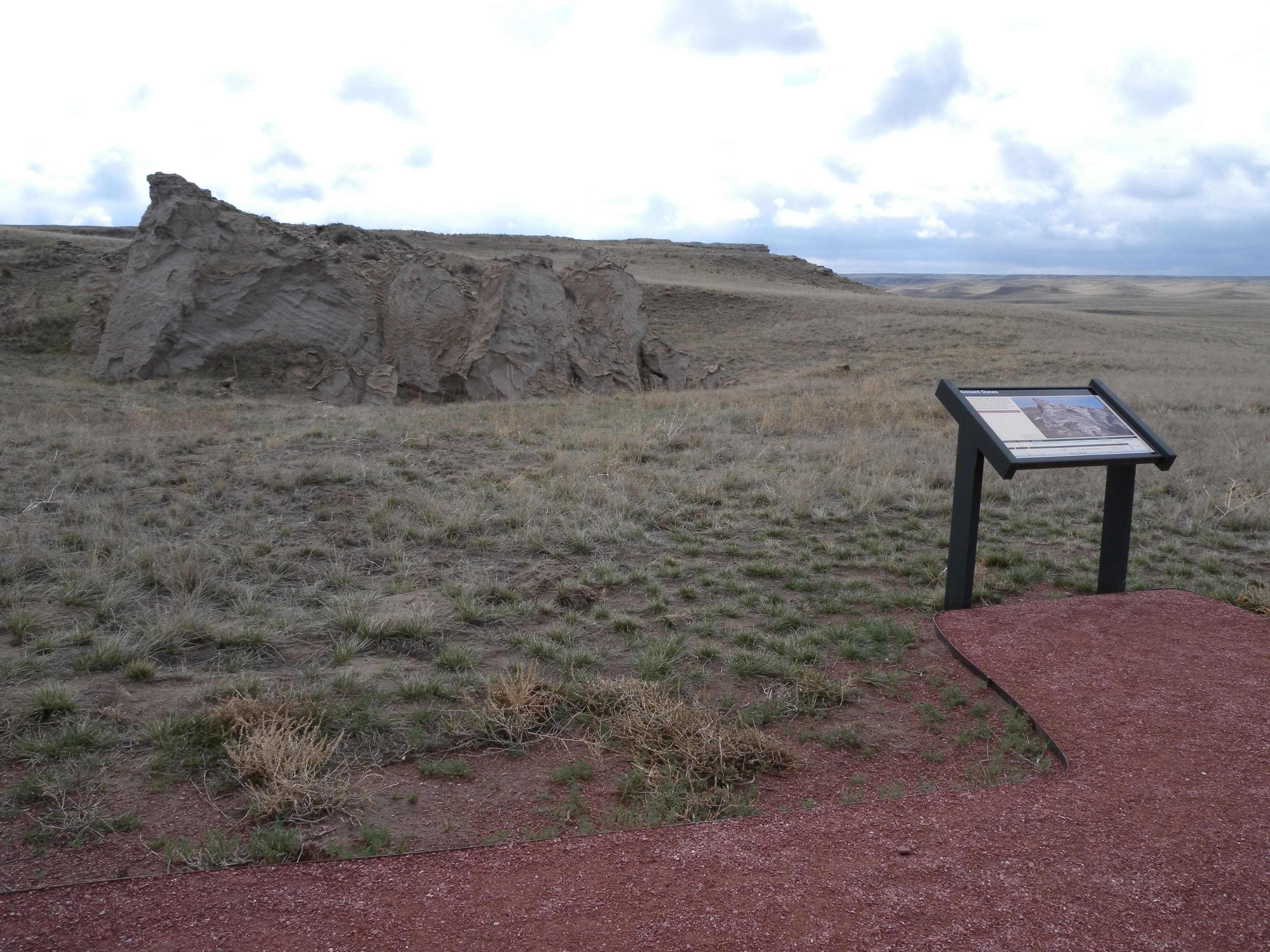
A few hundred yards from the trailhead, you’ll pass this ancient sand dune.
Park Entrance
Location: 42.4248167, -103.7886813
There is no fee station at the park entrance, but the visitors center (and a great museum) are just 3 miles east of the trailhead.
Trailhead
Location: 42.4249118, -103.7883273
The Daemonelix Trail begins on this wide, reddish gravel path.
Plants
Location: 42.4292397, -103.7851354
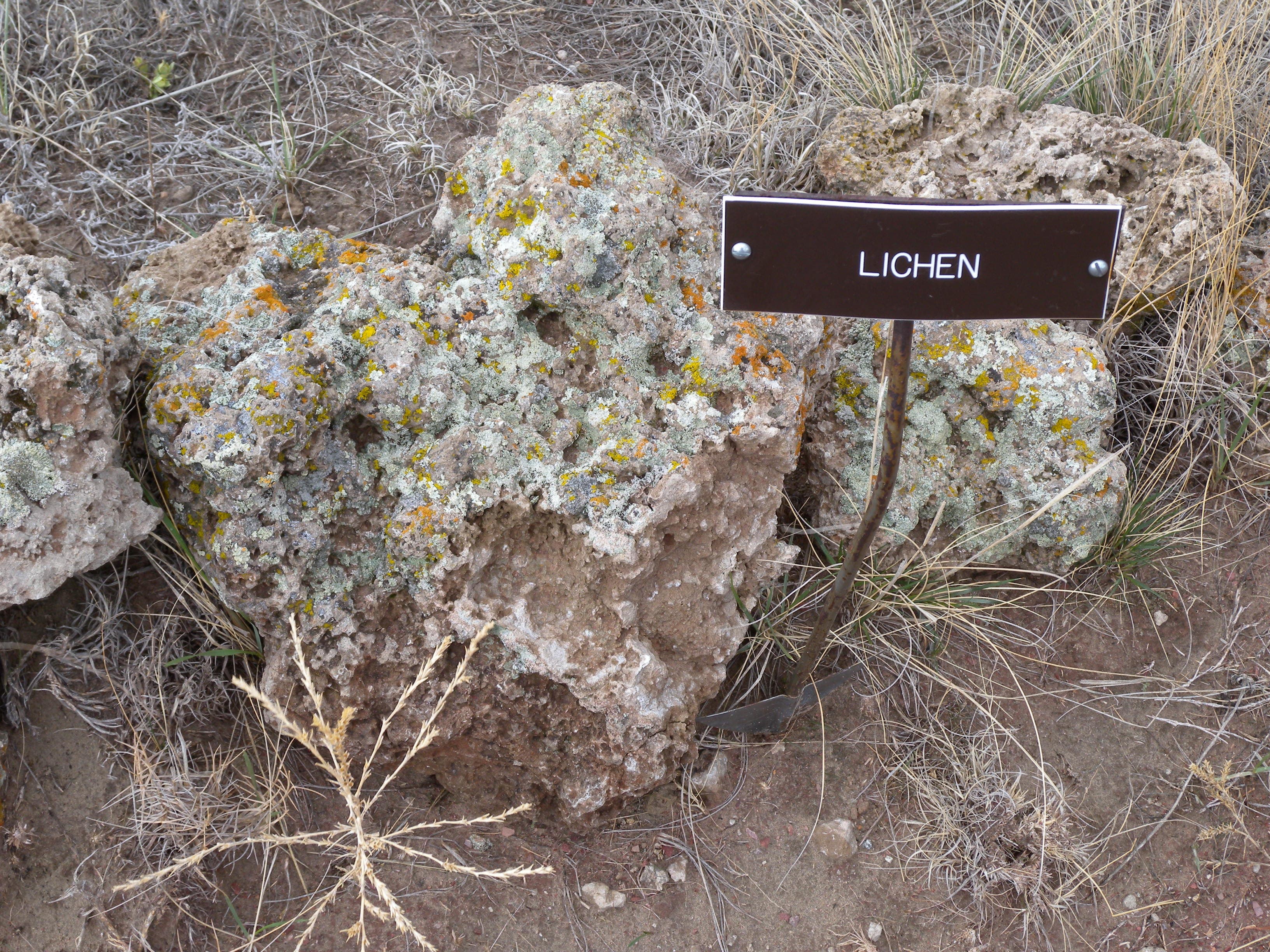
Small signs point out native prairie vegetation alongside the trail.
Butte
Location: 42.4292318, -103.7848726
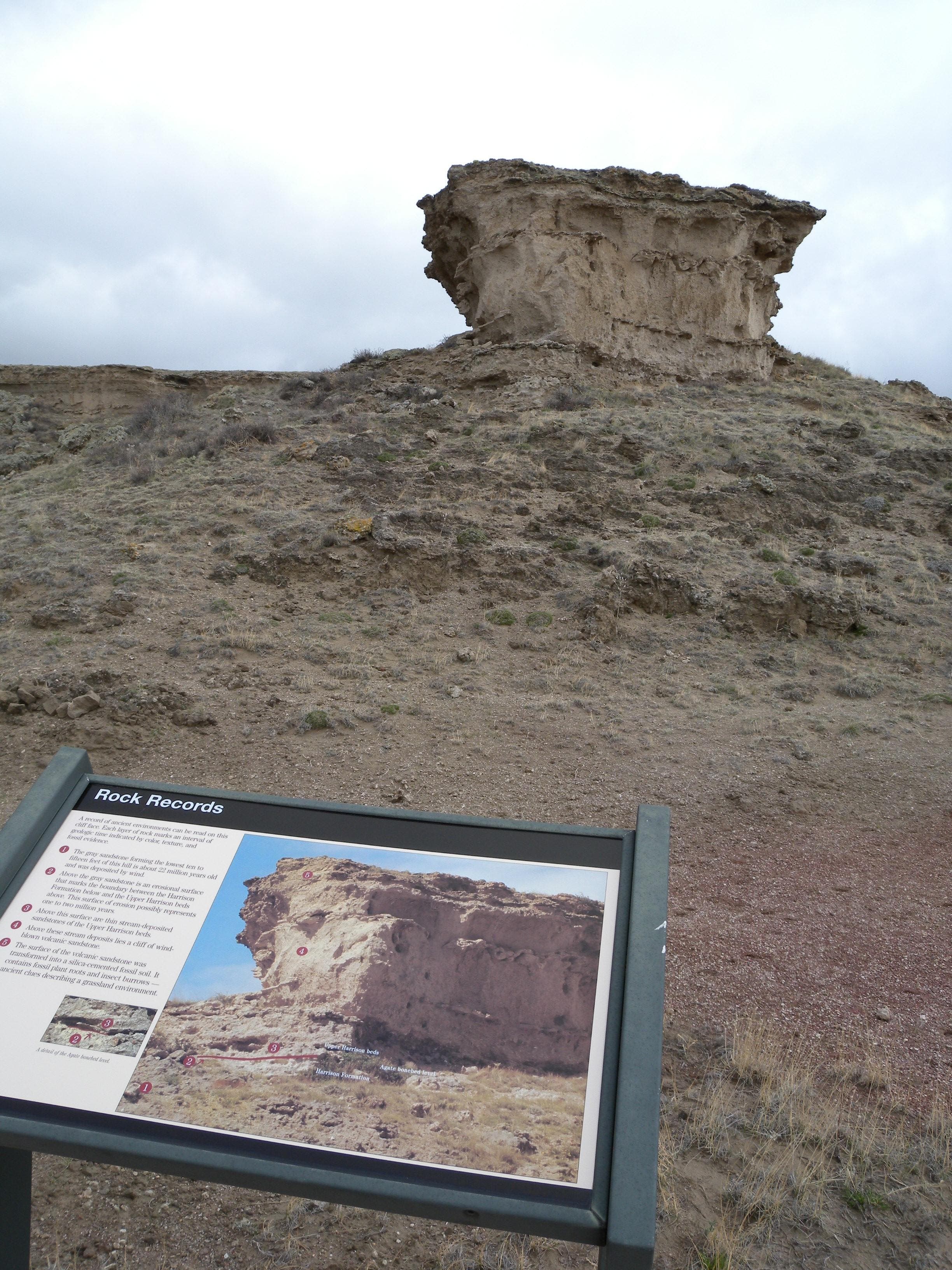
The layered sediments of this butte tell the story of the area’s history.
Fossil Sendiments
Location: 42.4291961, -103.7849182
This shelter protects examples of the fossilized soil record.
Soil
Location: 42.4297089, -103.7849396
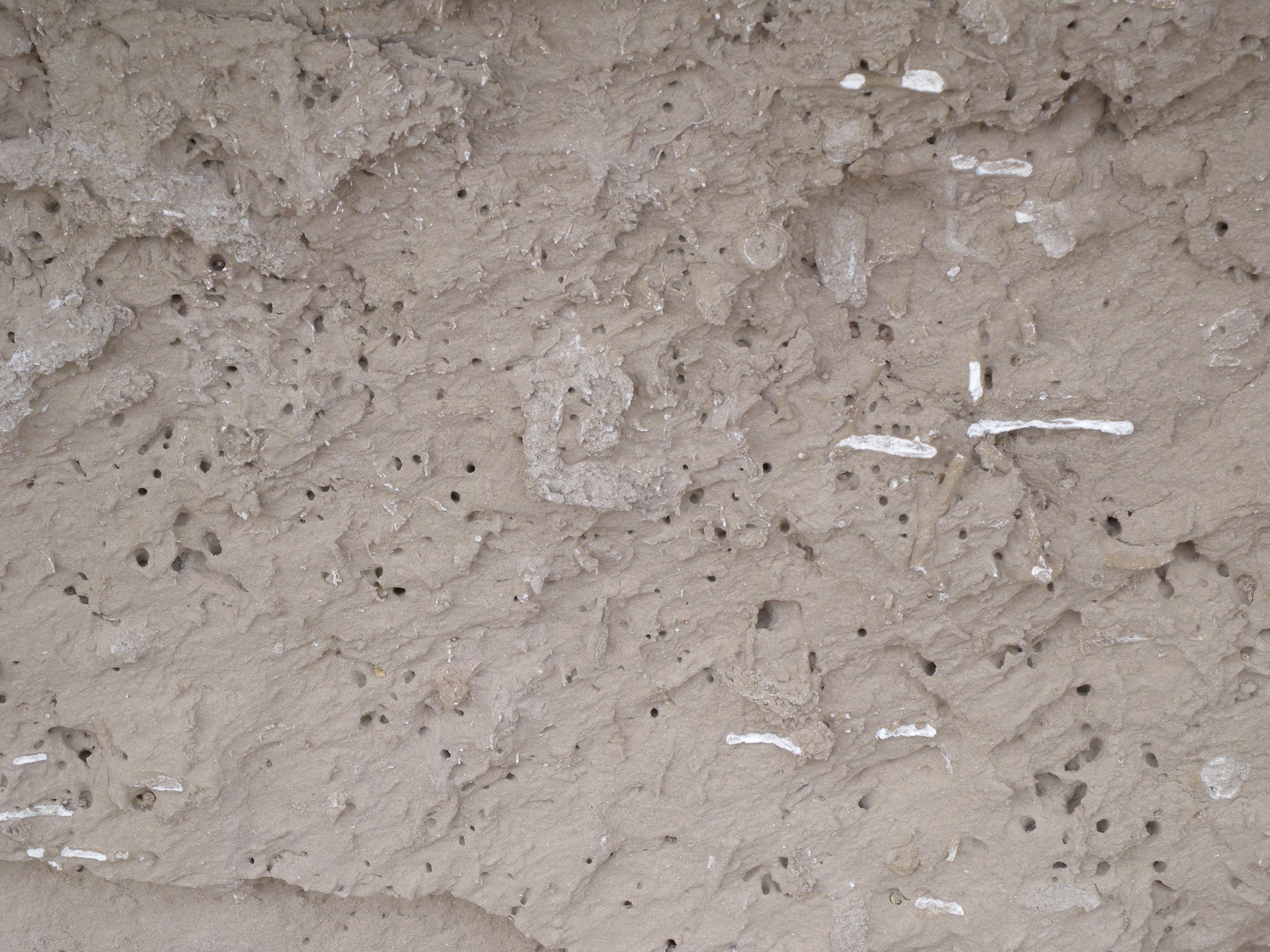
Look closely at white lines, spots, and holes in the butte as you climb toward the overlook: they are fossilized burrows and roots.
Overlook
Location: 42.4300039, -103.7847841
The view of the surrounding countryside from the loop’s high point.
Daemonelix
Location: 42.4301682, -103.7861413
This spiraling formation is all that remains of a burrow dug by the beaver-like Palaeocastor. These mysterious formations inspired scientists to study fossils here.