Santa Fe, NM: Chamisa Trail

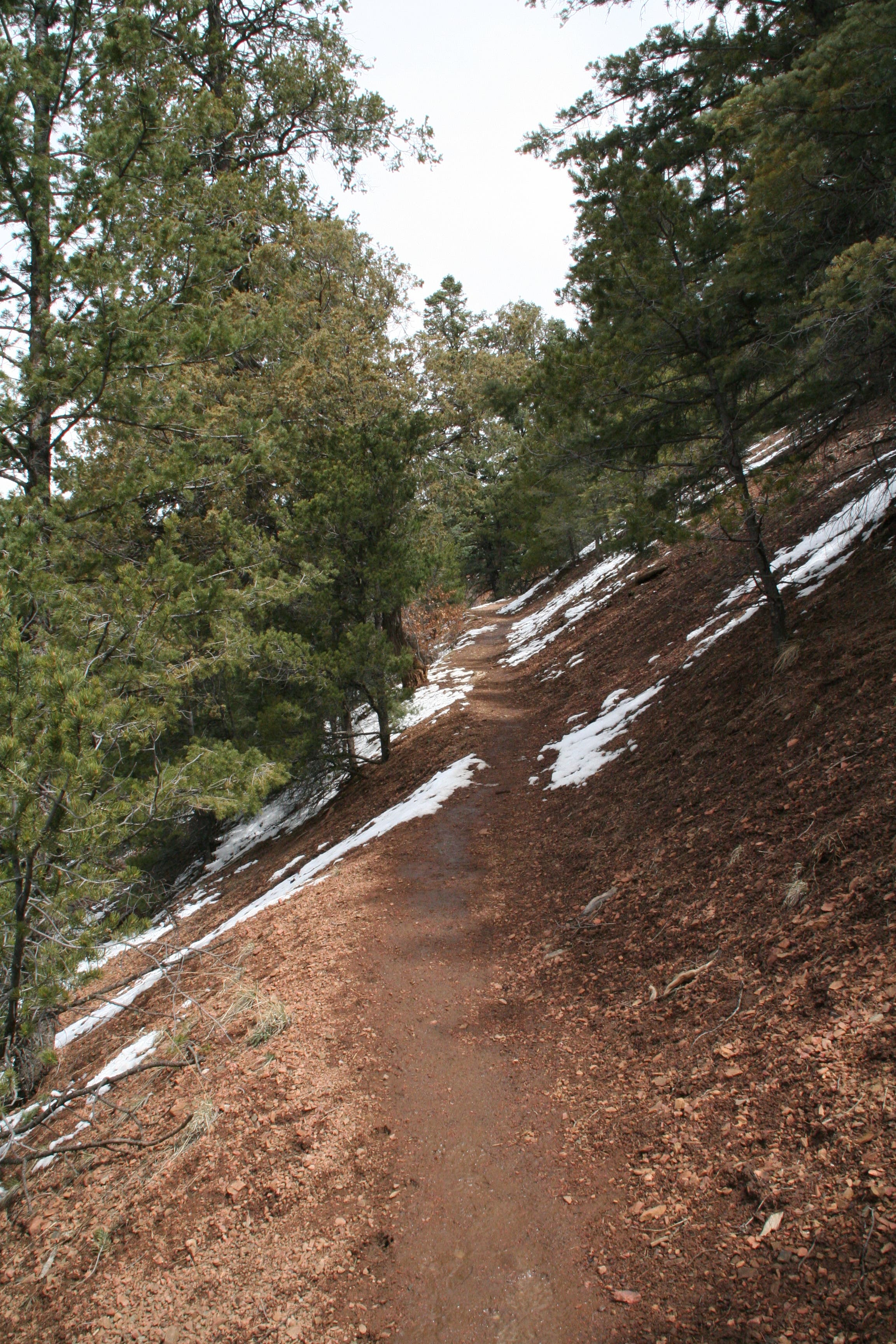
Stop and savor the butterscotch aroma of ponderosa pine bark on this 4.7-mile, dog-friendly out-and-back just outside Santa Fe. Weaving through the foothills of the Sangre de Cristo Mountains, the Chamisa Trail departs east from its trailhead, ascending ridge contours through open evergreen forest. Before long, the sound of Hyde Road is exchanged for the chirping of birds and the rustling of wind wandering through the trees. In some spots, rock outcroppings line the well-worn trail and flecks of mica glitter in the sun.
About 1 mile in, the trail arrives at a three-way junction at the top of the ridge. Head to the right to continue over the saddle and descend to the Tesuque River. After a quick drop the trail rolls along past aspens and junipers as the sound of the river gradually increases.
Soak in the river scene for as long as you like before backtracking up to the saddle. From here, retrace your route all the way back to the trailhead, or continue straight (west-northwest) at the saddle junction to loop back to Hyde Road. This hike is doable in springtime, but large portions of the trail may be covered in snow, making for a fairly slippery adventure.
-Mapped by Sarah Curry
LOCAL LINKS
GAS
Chevron – St Francis Plaza
Santa Fe, New Mexico 87505
505-983-9749
Conoco Phillips
215 Lincoln Avenue, Santa Fe, NM
505-820-0431
GEAR
REI
500 Market Street #100
Santa Fe, NM 87501
505-982-3557
Sangre de Cristo Mountain Works
328 S. Guadalupe St.
Santa Fe, NM 87501
505-984-8221
GROCERIES
Kaune’s Neighborhood Market
511 Old Santa Fe Trail
Santa Fe, NM 87505
505-982-2629
Whole Foods Market
753 Cerrillos Road
Santa Fe, NM 87505
505-992-1700
RESTAURANTS
Back Road Pizza
1807 2nd St # 1
Santa Fe, NM 87505
505-955-9055
Aztec Café
317 Aztec
505-820-0025
Five & Dime General Store
58 E. San Francisco St.
Santa Fe, NM 87501
505-992-1800


Trail Facts
- Distance: 7.6
Waypoints
CHM001
Location: 35.728775, -105.8659127
From the trailhead, ascend up the maintained path.
CHM002
Location: 35.732163, -105.863492
Continue on the ridge through the open forest. Be on the look out for pointy-eared squirrels.
CHM003
Location: 35.732291, -105.863387
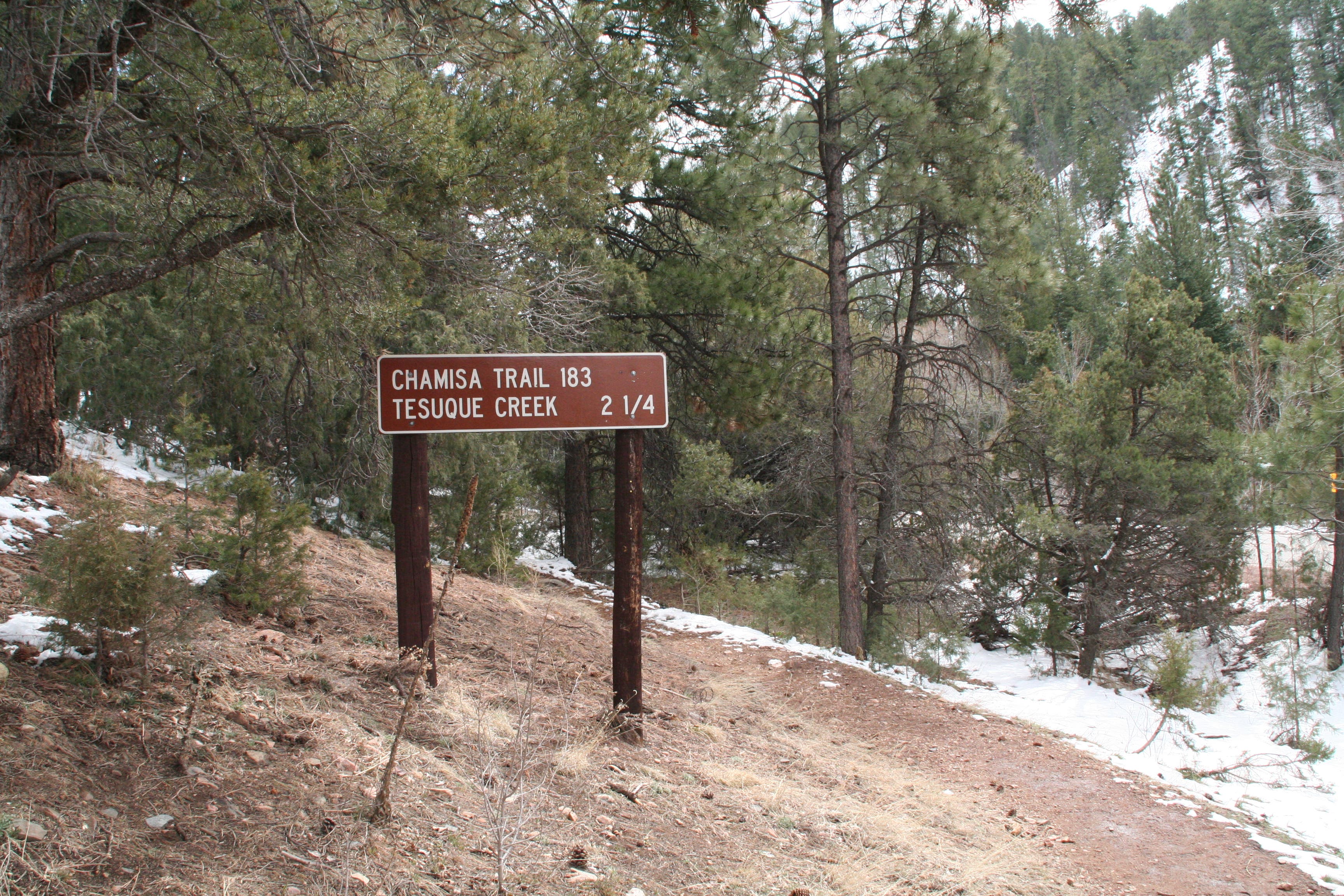
A trail sign to the right of the path reads: Trail 183.
CHM004
Location: 35.74271, -105.858239
The trail comes to a 3-way junction with a trail map in the middle. Head right over the saddle to go down to the Tesuque River. On the return trip through this junction, you can either backtrack to the Hyde Road trailhead, or take the trail to the west (straight after ascending back up from the river) to loop back to Hyde Road.
CHM005
Location: 35.752786, -105.858105
The Tesuque River and junction with the Windsor Trail. Head right for a few hundred feet for better access to the river. This makes a great spot for a picnic.
Main Chamisa Trailhead
Location: 35.728693, -105.865186
Chamisa Trail
Location: 35.731032, -105.864243
A wellworn path cuts along the ridge
Nearby Peaks
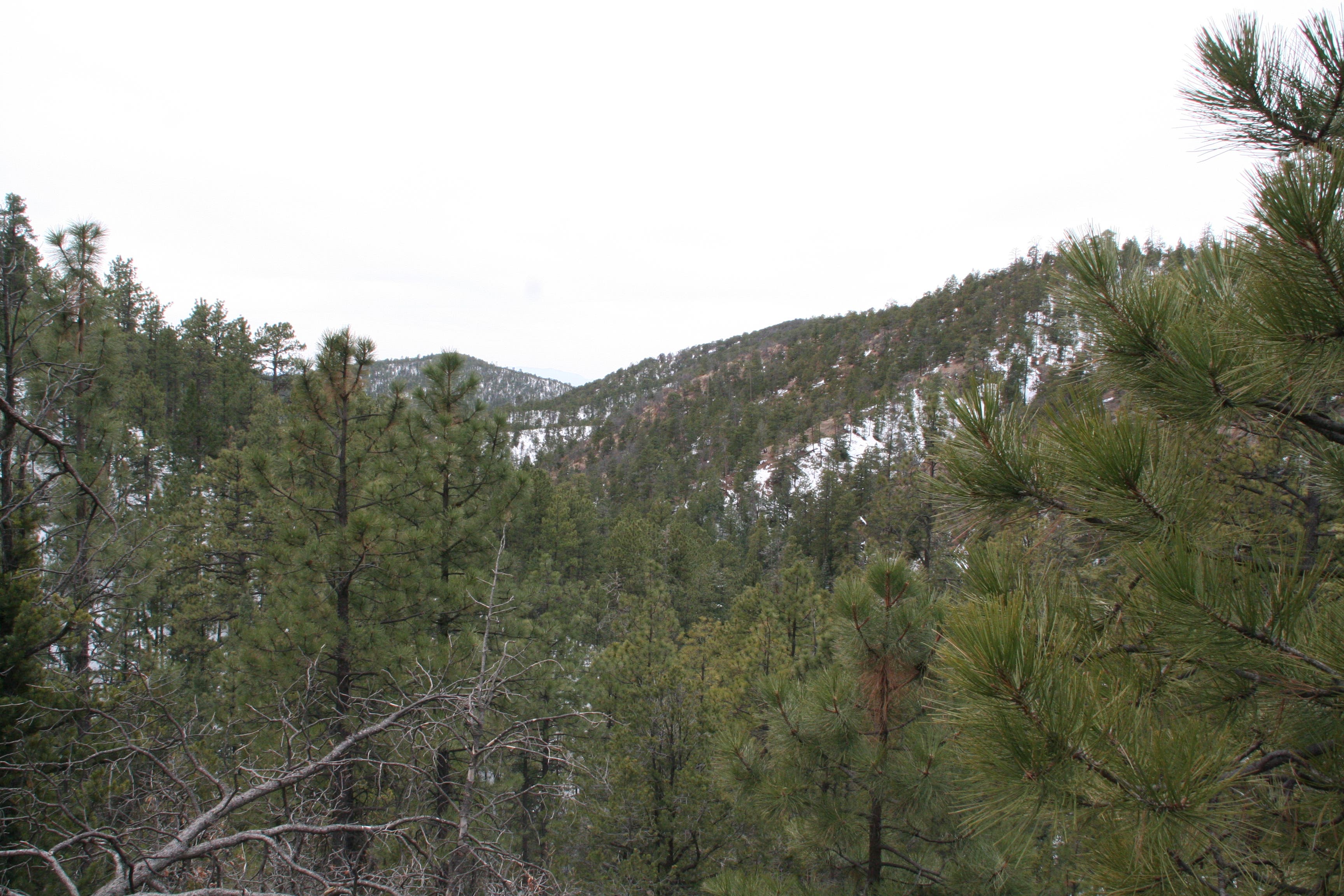
Location: 35.739243, -105.859706
Winter near the Tesuque River
Location: 35.75323, -105.857636
Emergency Toilet Paper
Location: 35.752547, -105.858277
In a jam? Take your chances…