Santa Fe: Hamilton Mesa Trail



Trail Facts
- Distance: 9.1
Waypoints
HMT001
Location: 35.8400459289551, -105.620399475098
Go NE on Hamilton Mesa Trail through shaded ponderosa and aspen groves; a deep, tree-filled canyon cuts through the landscape to the W
HMT002
Location: 35.8459396362305, -105.613800048828
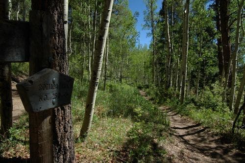
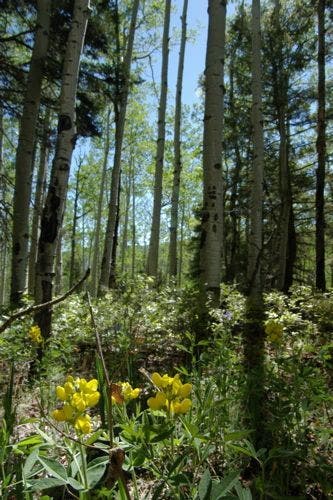
Veer L @ jct. with Rociada Trail (stay on Hamilton Mesa Trail); seasonal yellow pea flowers blanket the mesa
HMT003
Location: 35.8510093688965, -105.611198425293
Moderate climb to mesa top among aspens and fragrant pines
HMT004
Location: 35.8565483093262, -105.60359954834
Pass through log fence; views start to open up. In .2 mi., enter the first grassy mountain meadow; watchful hawks circle skies high above
HMT005
Location: 35.859748840332, -105.599700927734
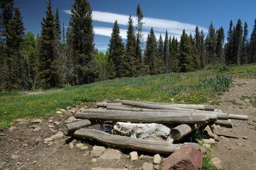
Top off water bottles in spring covered by logs; continue N on dirt trail
HMT006
Location: 35.869197845459, -105.596817016602
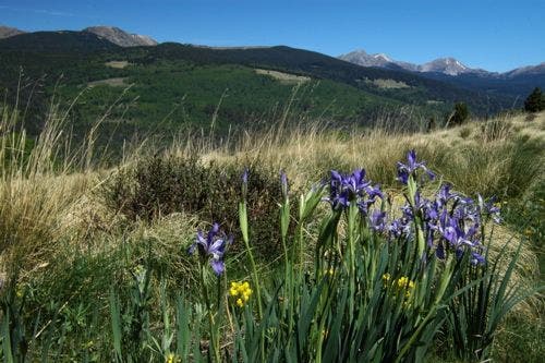
Meander through another wide, rolling meadow lined with wild irises; enjoy unobstructed views of the 13,000-ft. Truchas Peaks. All three peaks dominate the skyline to the NNW
HMT007
Location: 35.8751602172852, -105.594802856445
Pass another spring. Photo op: Grassy meadow offers prime-time views of coyotes, mule deer, and elk at dusk and dawn
HMT008
Location: 35.8858070373535, -105.593101501465
Continue straight on Trail 249
HMT009
Location: 35.8921890258789, -105.591102600098
Keep straight, heading NE as trail skirts forest edge
HMT010
Location: 35.9004287719727, -105.582000732422
Turn around @ jct. with Trail 270; retrace steps back to trailhead
Log Fence
Location: 35.8574295043945, -105.603622436523
©Christina Frain
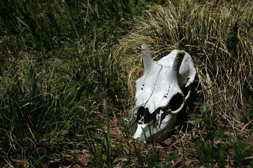
Animal Bones
Location: 35.8873138427734, -105.59220123291
©Christina Frain
Covered Spring
Location: 35.8611221313477, -105.600395202637
©Christina Frain
Wildflowers
Location: 35.8761215209961, -105.593696594238
Sweet pea flowers fill a mountain top meadow. ©Christina Frain
Rociada Trail Junction
Location: 35.8468132019043, -105.612739562988
©Christina Frain
Wild Iris
Location: 35.8700065612793, -105.59831237793
Wild iris line the trail. The Truchas Peaks rise in the background. ©Christina Frain
Yellow pea flowers on Hamilton Mesa
Location: 35.848316192627, -105.613082885742
©Christina Frain