Hike to Seven Falls in Santa Barbara

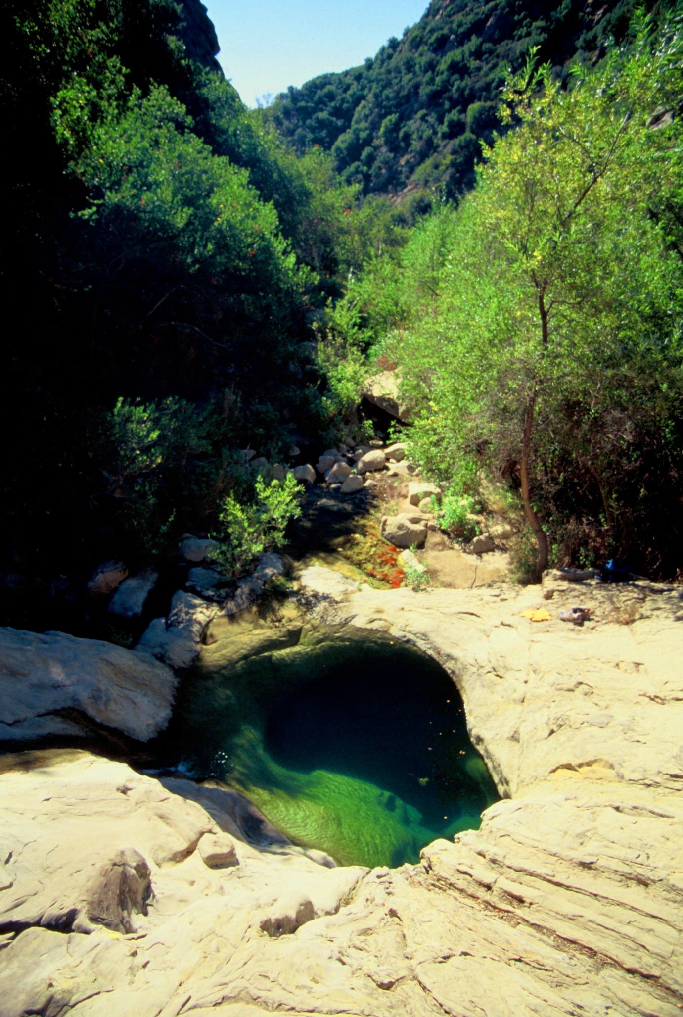
The popular hike to Santa Barbara’s Seven Falls in Los Padres National Forest is an easygoing, 2.5-mile out-and-back that begins on a paved path as it climbs through oak groves then turns into dirt singletrack within a mile. The trail crisscrosses Mission Creek as it winds through the canyon. You can hop or wade across the water—depending on the season—and follow the creek upstream to Seven Falls. Don’t forget to bring your swimsuit. Mission Creek cascades down step-like sandstone outcroppings, creating several warm, deep swimming holes. If you’re fortunate enough to come during or just after spring rains, be sure to take a dip in one of the upper pools. Take as much time as you like soaking in the refreshingly crisp mountain waters before heading back to the car.
Trail Facts
Distance: 2.5 miles out and back
Elevation Gain: 800 feet
Difficulty: Easy (requires some rock-hopping up the creek)
Permits: No
The Route to Seven Falls, Santa Barbara

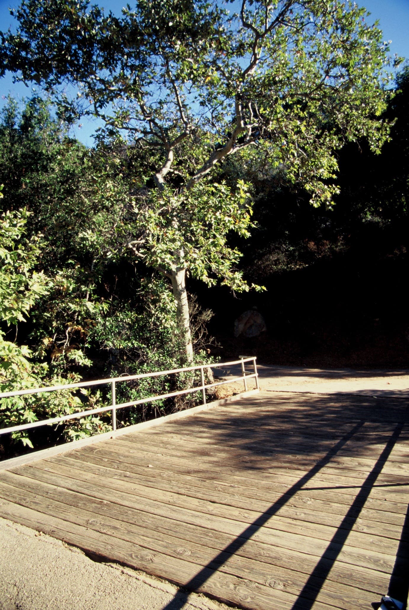
Start at the Tunnel Trailhead off Tunnel Road and follow the paved trail east for 1.5 miles toward a narrow canyon. Enjoy the sounds of a waterfall near the footbridge. Cross over the footbridge and continue east until the paved road turns into dirt. From the dirt road, head northeast about 0.1 mile and turn left onto a singletrack into an oak woodland habitat and you’ll see a creek on the left.

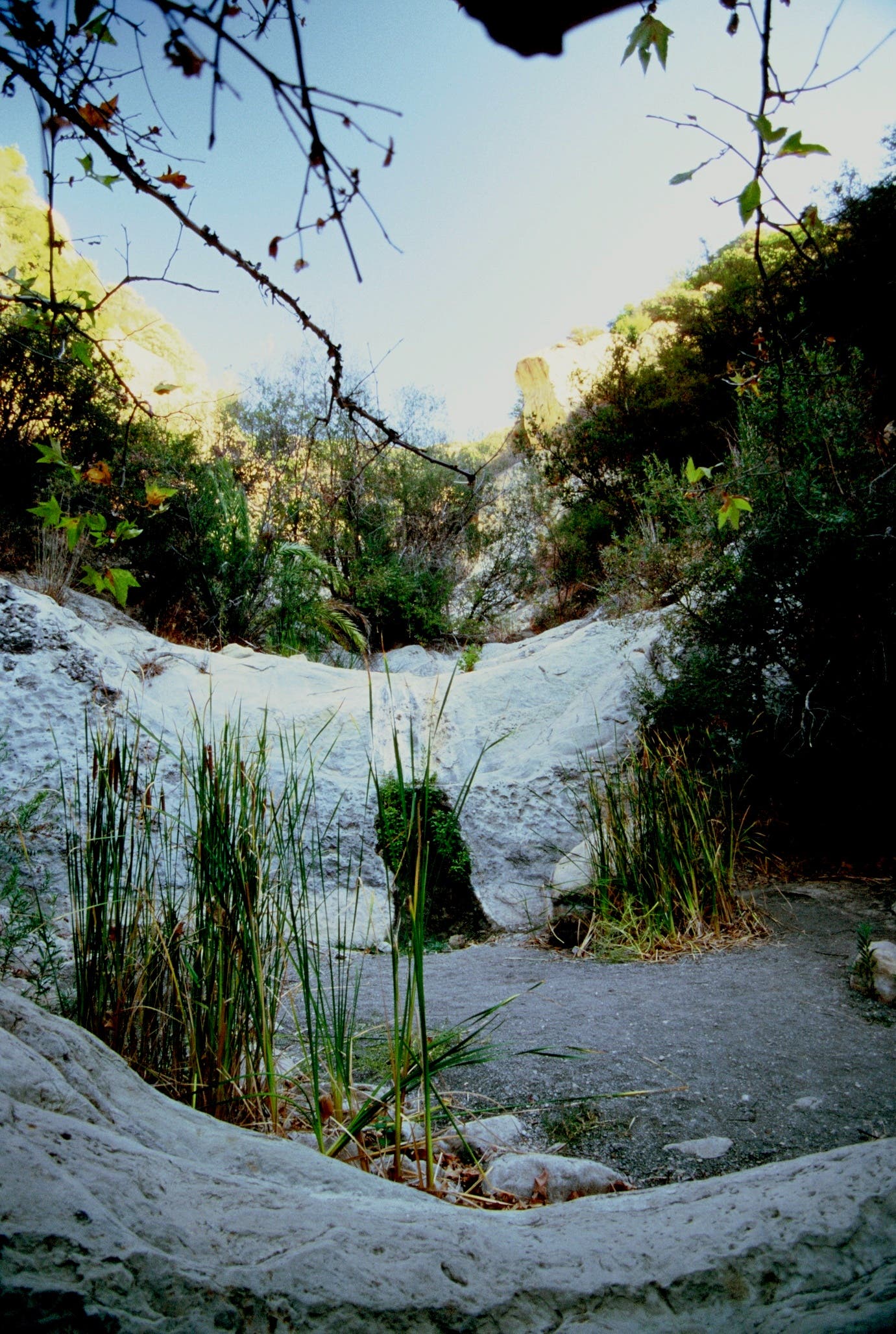
Cross the creek then bear right on the trail that hugs the left bank. Depending on the season, the creek could be gushing or completely dry. You’ll need to exercise caution during the rainy season. In the dry season, you can take the dry creek bed straight to Seven Falls.

Once you reach Seven Falls, you’ll see that the falls have sculpted a series of holes into the sandstone, creating some of the best front country swimming holes in Santa Barbara.

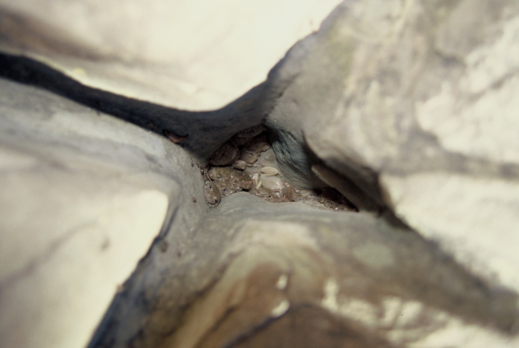
Hoards of canyon tree frogs hunker in the alcoves and crevices around the swimming holes. Even in drought conditions, the upper pools are still full from the waterfalls that cascade into the smooth sandstone holes.
When you’re done soaking in the swimming holes, retrace your steps back down the creek bed to the trailhead.
Map: Seven Falls, Santa Barbara
-Mapped by Chuck Graham