Santa Barbara, CA: Rattlesnake Canyon

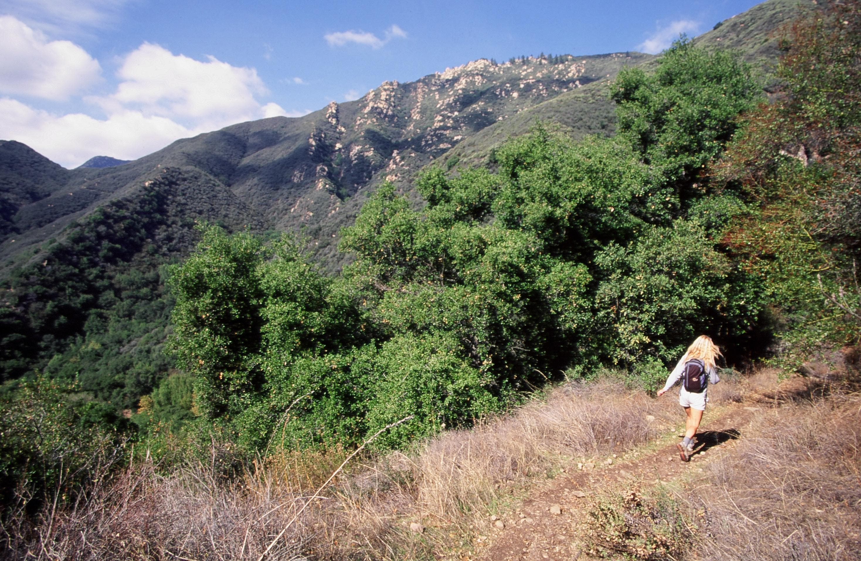
Ophidiophobic hikers can breathe a collective sigh of relief: Rattlesnake Canyon gets its name from the winding, serpentine-like path that ascends it, not from some hidden den of slithering snakes. The route zigzags through verdant deciduous forests, rock rose groves, and wildflower meadows. Sandstone cliffs line the trail as you switchback across the creek several times: rock climbing opportunities abound. Once you reach the trail’s crest at 2,500 feet, turn onto Gibraltar Road and watch the hang gliders run and jump off the mountain before retracing your steps back to the trailhead.
-Mapped by Chuck Graham
Trail Facts
- Distance: 7.6
Waypoints
RAT001
Location: 34.4577008, -119.6924104
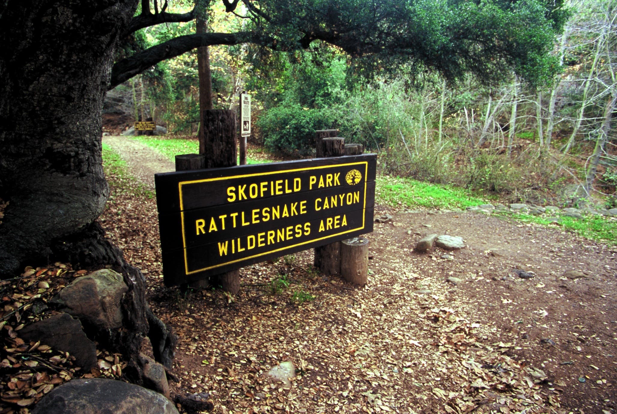
Past the entrance to Rattlesnake Wilderness Area in Skofield Park, hop on the Rattlesnake Canyon Trail. Rock-hop across the creekbed from left to right.
RAT002
Location: 34.4589124, -119.6915591
Bear left @ the Y-junction and head north toward the Santa Ynez Mountains, which come into view. The creek is now on the left as you rise above a canopy of sycamore, oak and California bay trees.
RAT003
Location: 34.4631039, -119.6902228
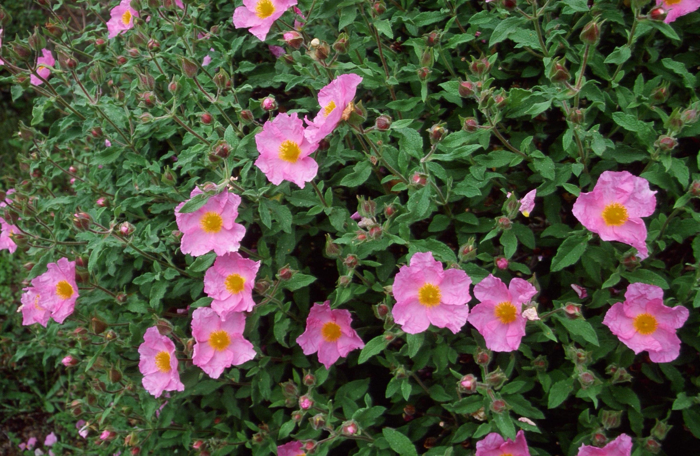
Bear left @ the Y-junction and continue through a grove of rock rose. Rattlesnake is the only canyon in Santa Barbara’s frontcountry that possesses a healthy stand of this native California plant. When it blooms in the spring, it has a pretty pink flower.
RAT004
Location: 34.4636394, -119.689576
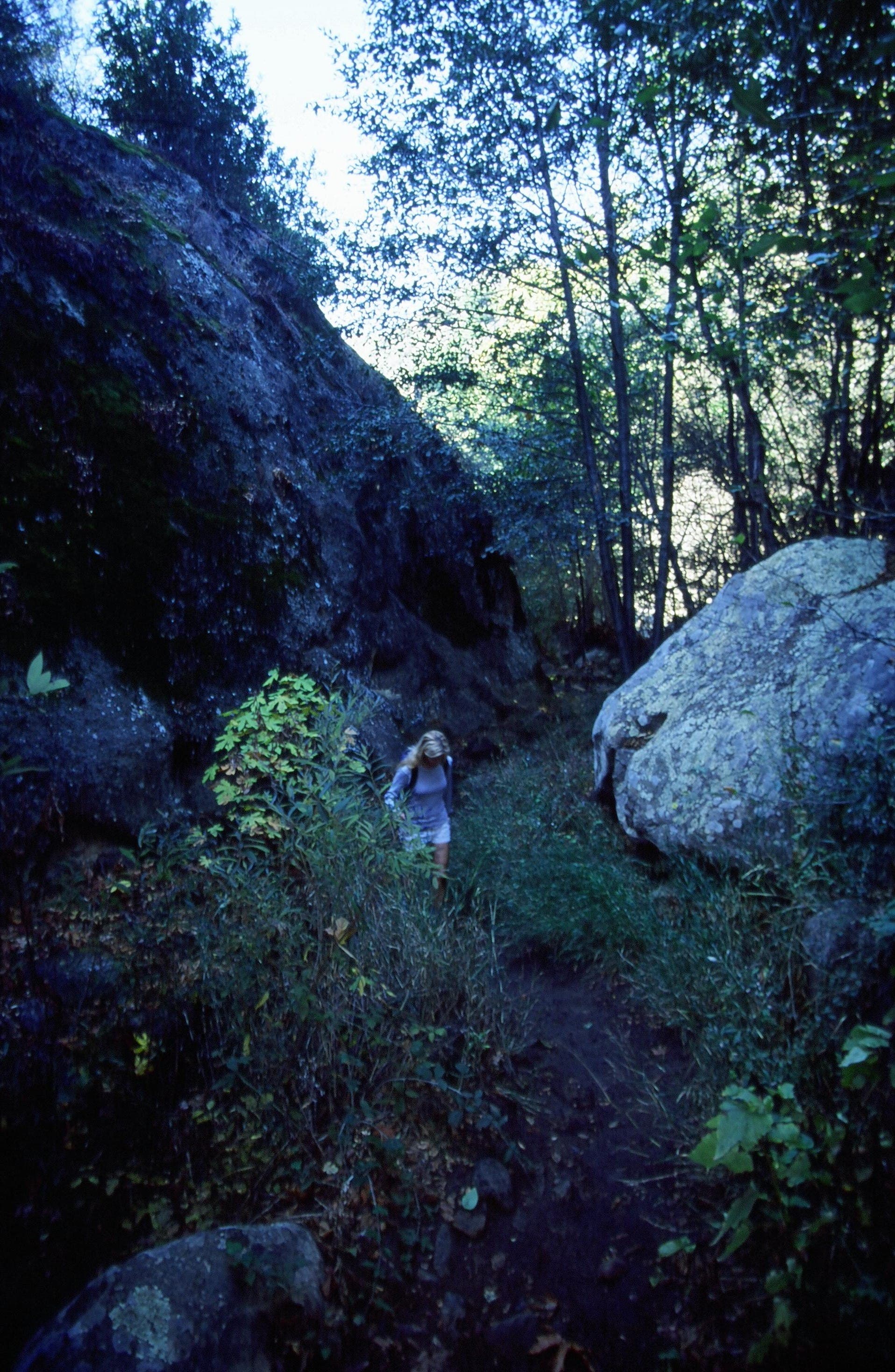
Bear left @ the Y-junction and rock-hop across the creekbed. Hug the large sandstone wall on the right for about 50 steps until the path crosses the creek.
RAT005
Location: 34.4641161, -119.6885435
After rock-hopping across the creek, bear right and climb above it. Hike through a small pine grove and pass a sandstone boulder field covered with colorful lichen. From here, the trail switchbacks several times, ascending above the creek and into a shady oak grove. The trail then descends back into the creek and along a series of tranquil pools.
RAT006
Location: 34.4746092, -119.6882391
After the pools, the trail ascends out of the creek. Go straight through the middle of the meadow, heading east. This is a good place to spot wildlife and, in the spring, wildflowers.
RAT007
Location: 34.475257, -119.6871278
After entering another oak tree grove, follow the rusty sign marked “Gibraltar” and begin the ascent over the steepest portion of the Rattlesnake Canyon Trail. Follow the switchbacks above the canyon. Pass sandstone formations on the left, which are popular climbing routes.
RAT008
Location: 34.4740765, -119.6813679
At the top of the trail, Gibraltar Road leads to the Santa Ynez Ridge. Bear right, dipping south. The road’s shoulder has a launching pad for hang gliders and paragliders. When the winds are right during the fall, winter and spring, this is the best place in Santa Barbara County to watch the action. When finished, retrace steps back to the Rattlesnake Canyon Trailhead.
Rattlesnake Trailhead
Location: 34.4576857, -119.6923113
©Chuck Graham
Rattlesnake Canyon Trail
Location: 34.4632853, -119.6899509
Hug the sandstone face to your right before crossing the creek. ©Chuck Graham
Rock Rose
Location: 34.4640107, -119.6892428
Rattlesnake Canyon possesses a healthy stand of rock rose, a California native plant. ©Chuck Graham
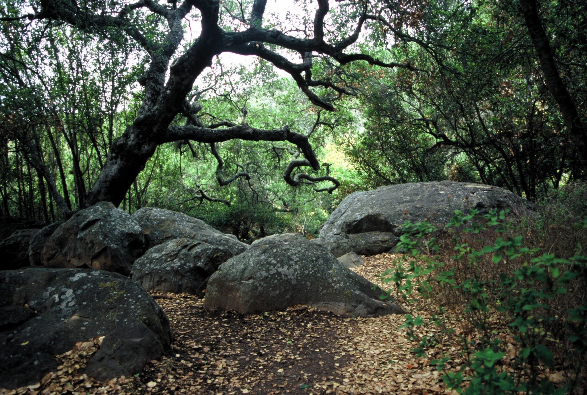
Rattlesnake Canyon oak grove
Location: 34.4759781, -119.6863461
There are several cool, shady oak tree groves in Rattlesnake Canyon. ©Chuck Graham
Rattlesnake Canyon
Location: 34.4740765, -119.6812284
The top of Rattlesnake Canyon is a good place to watch rock climbers, hang gliders, and paragliders. ©Chuck Graham