Santa Barbara, CA: Gaviota Peak

001 – The trailhead is on California State Park land and there is a $2.00 fee to park beneath huge sycamore trees.
002 – Head left at the trail sign in a tranquil grove of sycamore and oak trees.
003 – At the Y fork go left. A short route to the right leads to the hot springs, a bonus after hiking the steep route to Gaviota Peak. Continue left coming out of the trees and into rolling grassy hills. Watch for cows.
004 – After ascending a grassy hill, you’ll head into another grove of oaks.
005 – In the middle of the grove, you’ll come to a closed gate. Walk around it and continue up the dirt track.
006 – On the right is a weathered Los Padres National Forest post signifying your entry into the forest. Continue east following the track as it winds further up toward the peak.
007 – On a clear day the 360 degree views are arguably some of the best in this corner of Santa Barbara, CA.
Trail Facts
- Distance: 4.8
Waypoints
001
Location: 34.504685, -120.225834
24-MAR-10 4:04:47PM
002
Location: 34.504155, -120.222473
24-MAR-10 4:10:35PM
003
Location: 34.503158, -120.21979
24-MAR-10 4:14:46PM
004
Location: 34.503488, -120.217619
24-MAR-10 4:22:20PM
005
Location: 34.504124, -120.215928
24-MAR-10 4:24:50PM
006
Location: 34.503494, -120.212686
24-MAR-10 4:38:55PM
007
Location: 34.501767, -120.198763
24-MAR-10 5:07:41PM
ChuckGraham_BlueDicks_IMG_0452.jpg
Location: 34.51561, -120.191803
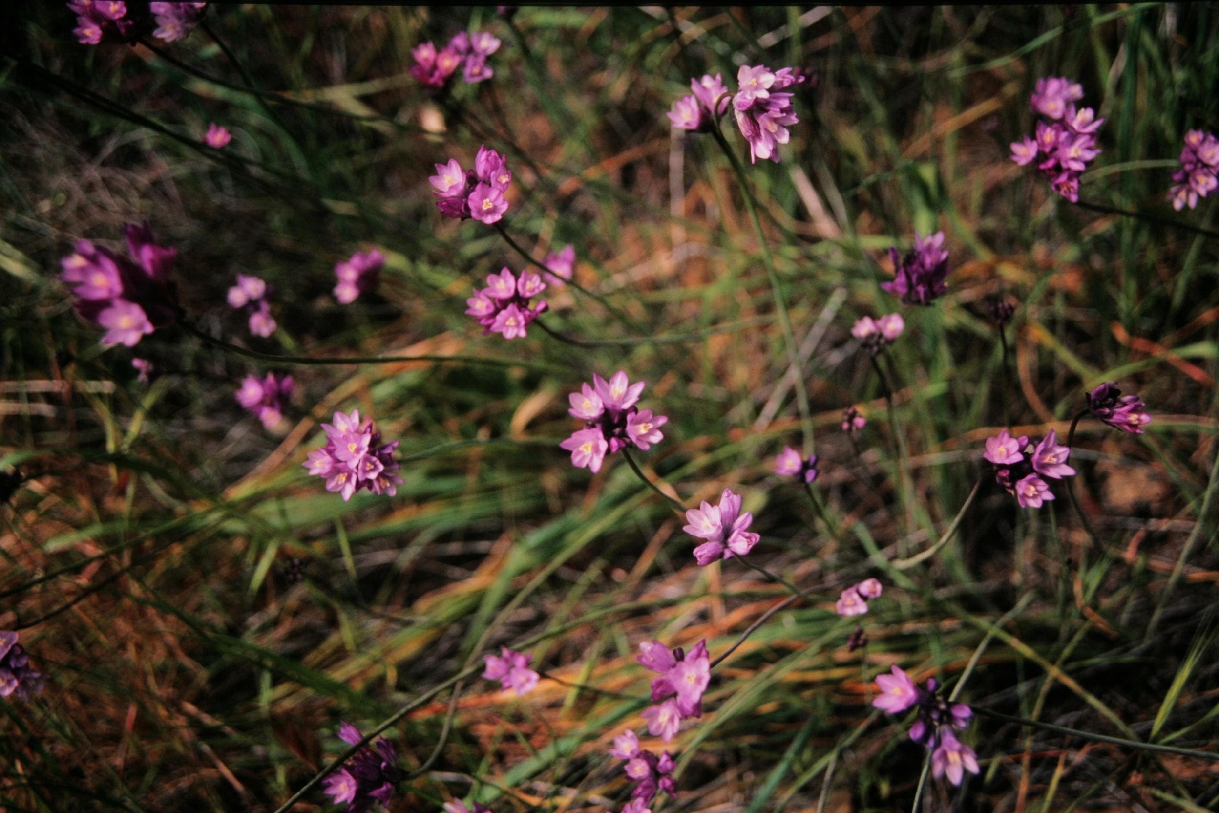
Watch for wildflowers like these blue dicks that are prevelant along the trail.
ChuckGraham_HotSprings_IMG_0455.jpg
Location: 34.522399, -120.211029
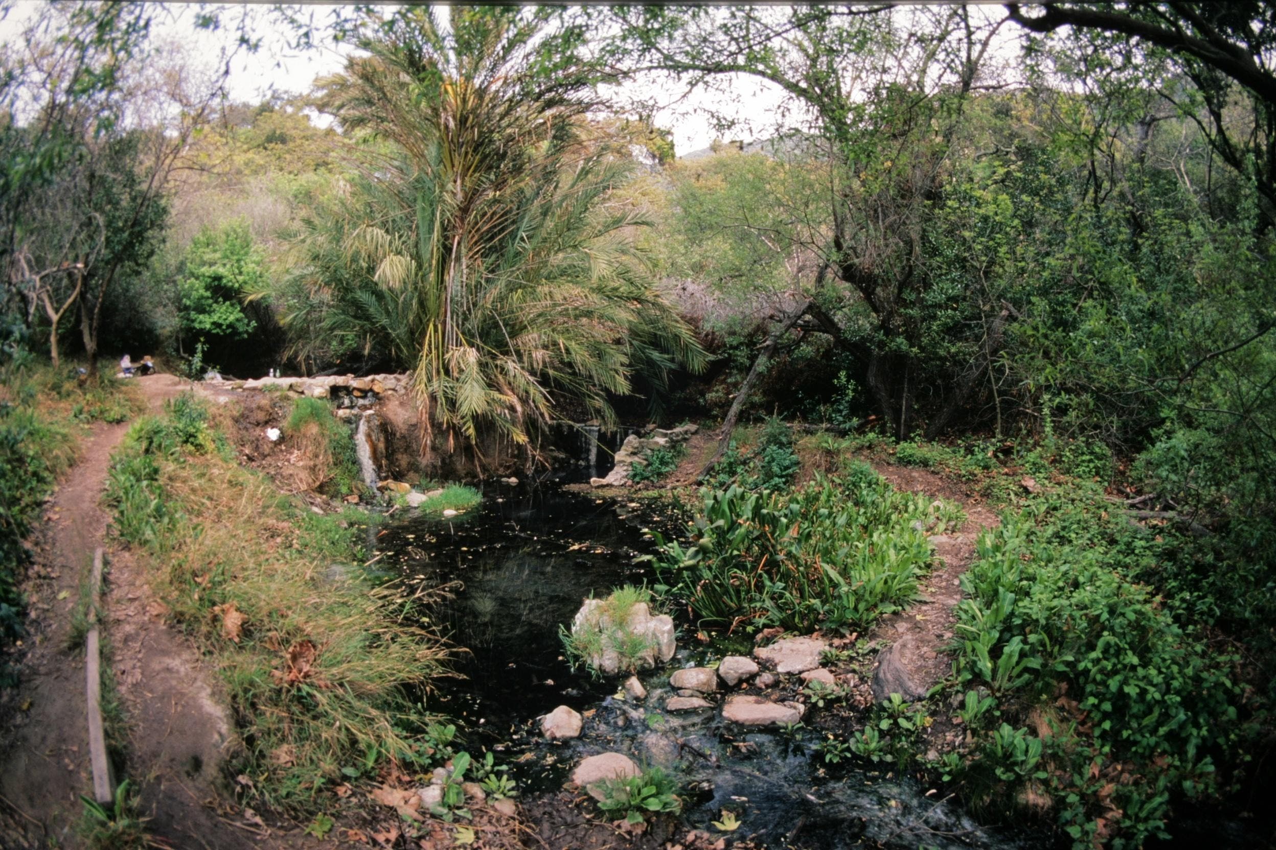
On the way down take a short detour and enjoy the hotsprings after this steep hike.
ChuckGraham_GaviotaPeak_IMG_0456.jpg
Location: 34.528056, -120.209656
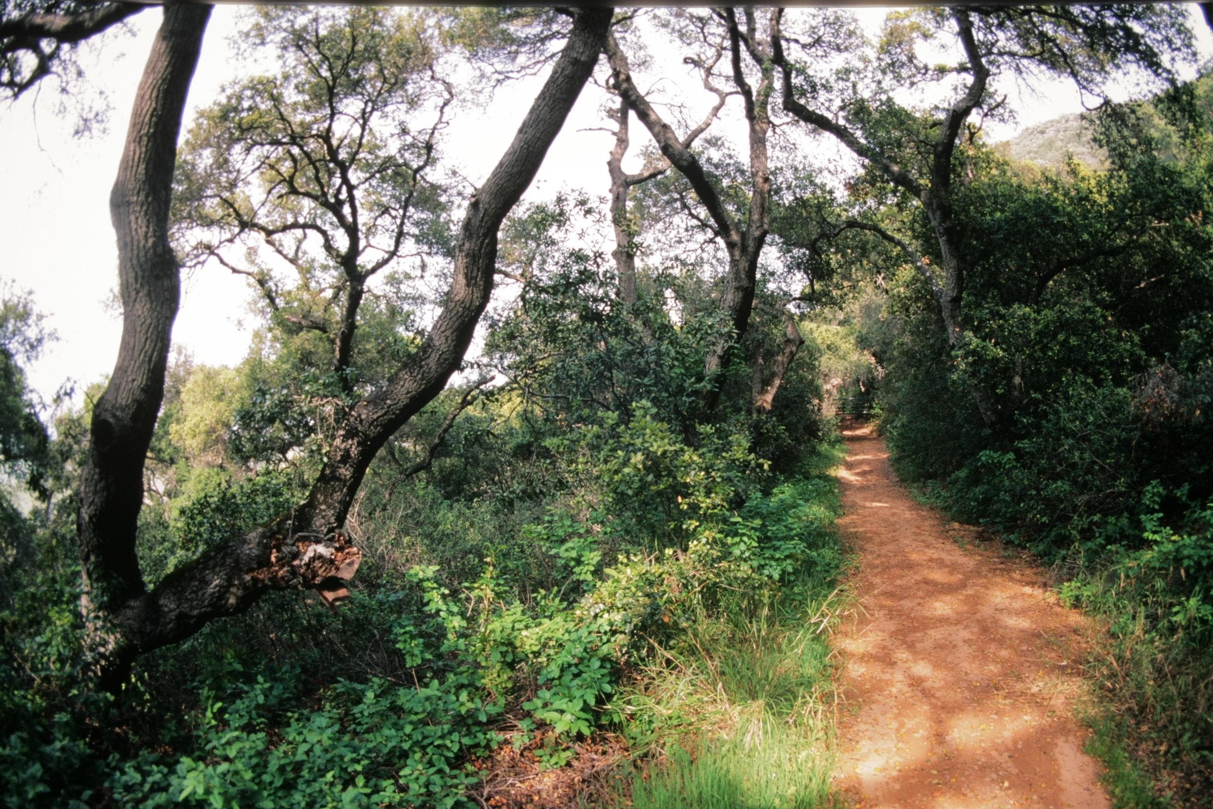
In a forest of coast live oak trees you’ll come to a locked gate. Walk around it on the right.
ChuckGraham_Ceanothus_IMG_0458.jpg
Location: 34.511083, -120.230255
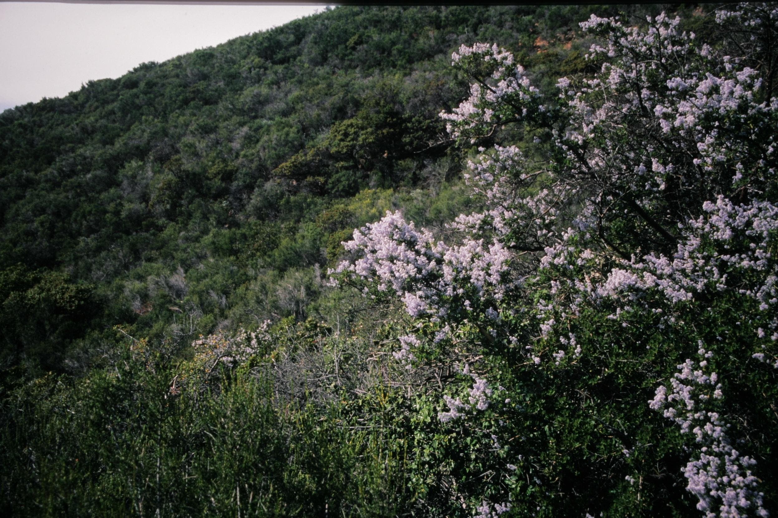
All along this trail fragrant ceanothus fills the hillsides.
ChuckGraham_IndianPaintbrush_IMG_0453.jpg
Location: 34.507688, -120.231628
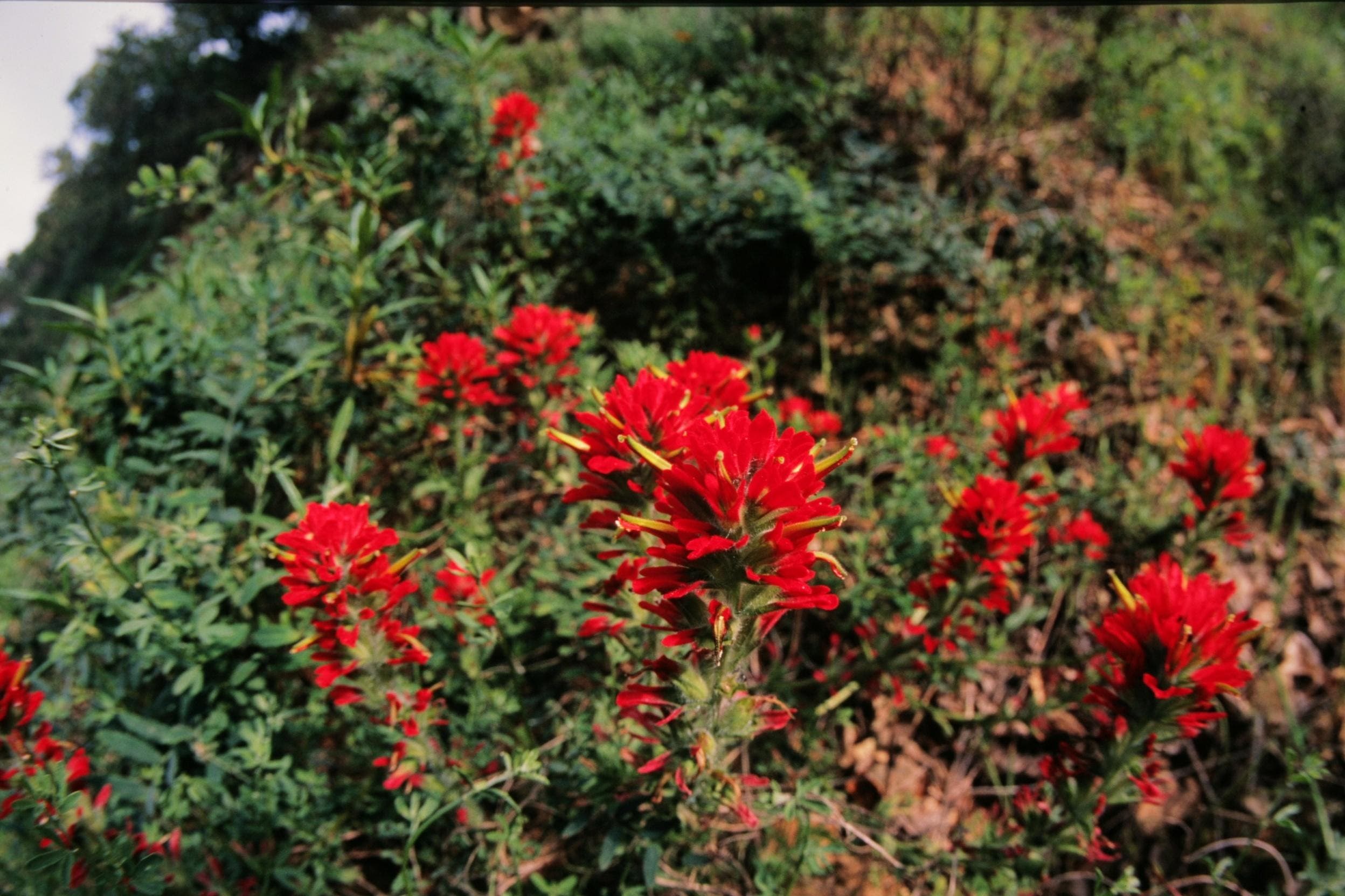
Vibrant Indian Paintbrush is found all along the trail.