Heading out the door? Read this article on the new Outside+ app available now on iOS devices for members! Download the app.
Hidden in the eastern reaches of Kaniksu National Forest, this leisurely 7-mile loop pushes toward Blacktail Lake before climbing up Moose Mountain and dropping down to Moose Lake. Start by heading southwest on the Moose Creek Trail from the parking lot at the end of Forest Service Road 1022. After 0.6 mile, turn right on the Blacktail Lake Trail and begin climbing up a hill separating Blacktail Lake and Moose Lake. At mile 2.4, bear left to hit the Moose Mountain Trail (the right fork brings downhill to Blacktail Lake, 0.6 mile away).
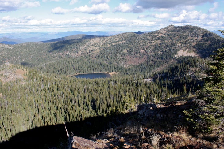
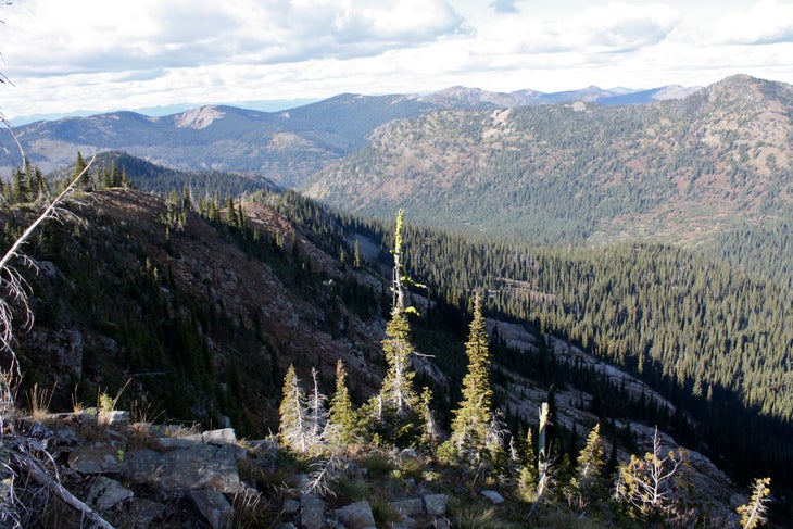
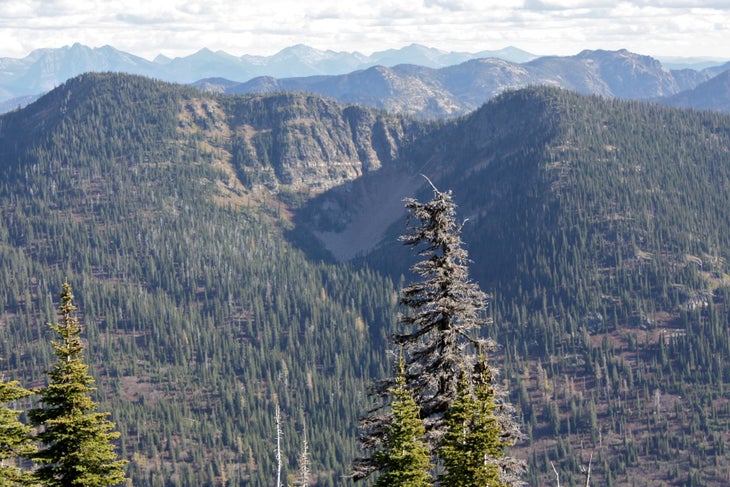
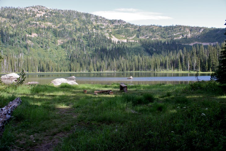
Moose Mountain’s peak is preceded by a revealing ridgeline serving up vistas of both nearby lakes and the surrounding mountain country. Once at the peak, the trail bends to the east while descending another ridge toward Moose Lake. Along the way, you’ll hike down a staircase of rock, through a clearing and past marshland encroaching the lake’s shore. Primitive campsites are situated elsewhere along the lake’s shoreline, and the lake itself provides fishing for small, yet active, brook trout. Return to the trailhead via looping back with the Moose Creek Trail.
-Mapped by Travis Lesicka
Trail Facts
- Distance: 11.2
Waypoints
MMT001
Location: 48.365445, -116.133063
Leave your car in the lot and head southeast on the Moose Creek Trail.
MMT002
Location: 48.361011, -116.123428
At the Y-junction, turn right onto the Blacktail Lake Trail. The left fork brings you straight to Moose Lake.
MMT003
Location: 48.354424, -116.140423
Head downhill for a brief stretch leading to the Moose Mountain Trail.
MMT004
Location: 48.351611, -116.139253
Turn left to pick up the Moose Mountain Trail. The right fork leads to Blacktail Lake (0.6 mile south).
MMT005
Location: 48.350247, -116.128836
Notch prime panoramas while running the ridge leading to Moose Mountain.
MMT006
Location: 48.346546, -116.123836
Gain spectacular views from the peak of Moose Mountain (6,500 feet).
MMT007
Location: 48.346552, -116.115253
Exercise caution while descending the scree-dusted rock staircase here.
MMT008
Location: 48.349337, -116.114631
The trees thin out as you near Moose Lake.
MMT009
Location: 48.352394, -116.111482
The trail slices through marshland encircling the lake.
MMT010
Location: 48.361296, -116.12257
Turn right onto the Moose Lake Trail to return to the trailhead.
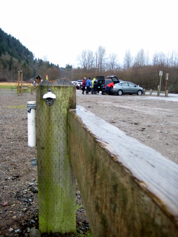
Parking Lot
Location: 48.365499, -116.133299
Trailhead
Location: 48.365381, -116.13302
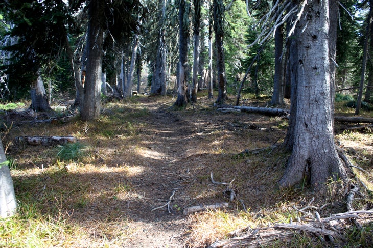
Hallway Of Trees
Location: 48.352186, -116.136904
Wind through old growth timber en route to Moose Mountain.
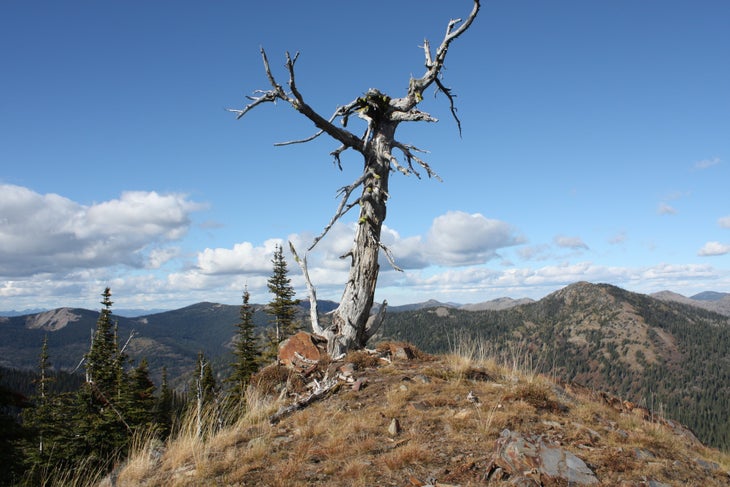
False Peak
Location: 48.349005, -116.126647
This dead tree marks a false peak north of Moose Mountain.
Moose Lake
Location: 48.348, -116.125488
Moose Lake is visible from the ridge connecting to Moose Mountain.
Moose Mountain Trail
Location: 48.346381, -116.123471
The trail swings east from the top of Moose Mountain.
Cross-Valley Views
Location: 48.345989, -116.119094
While descending from Moose Mountain, look southeast across the valley for views of Benning Mountain.
Campsite
Location: 48.354667, -116.11021
Prime campsites are available along Moose Lake’s shoreline.