San Jose, CA: Henry W. Coe State Park

On this 24-mile, two-day trek through the 86,000-acre Henry W. Coe State Park, you’ll cruise through spectacular, arid hill country en route to the cool waters of Mississippi Lake. The park’s western entrance is just an hour outside of San Jose, but frontcountry campsites are available at the park’s entrance if you want to spend two nights in the park. From the visitors center, head east on the Corral Trail to get started.
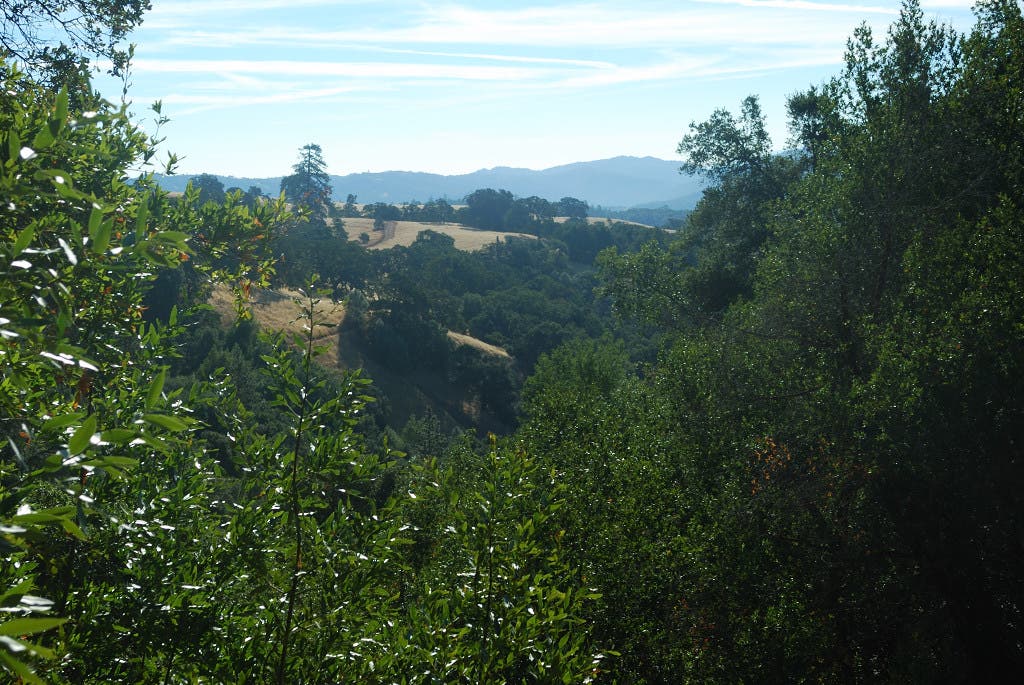
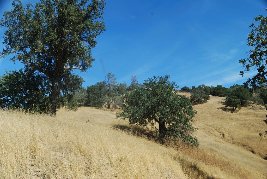
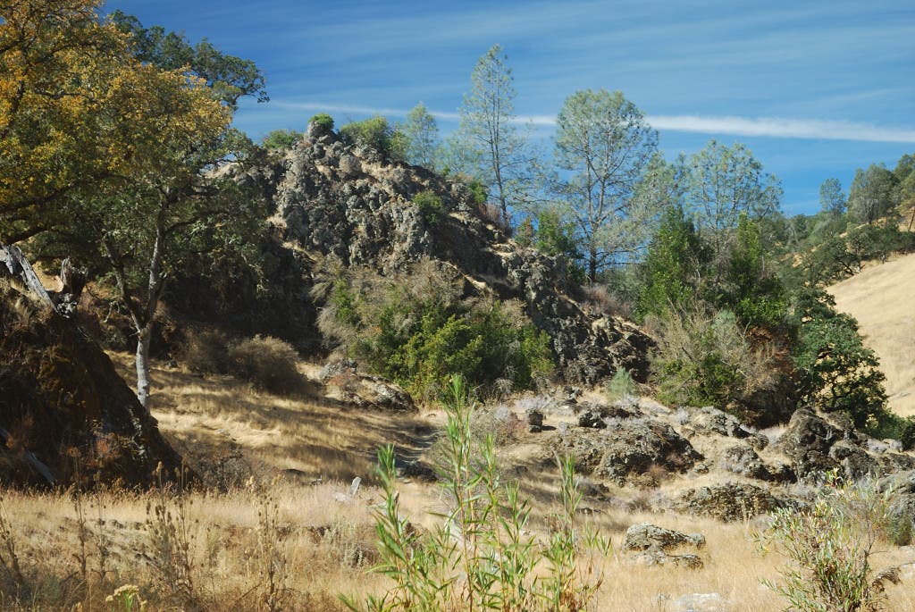
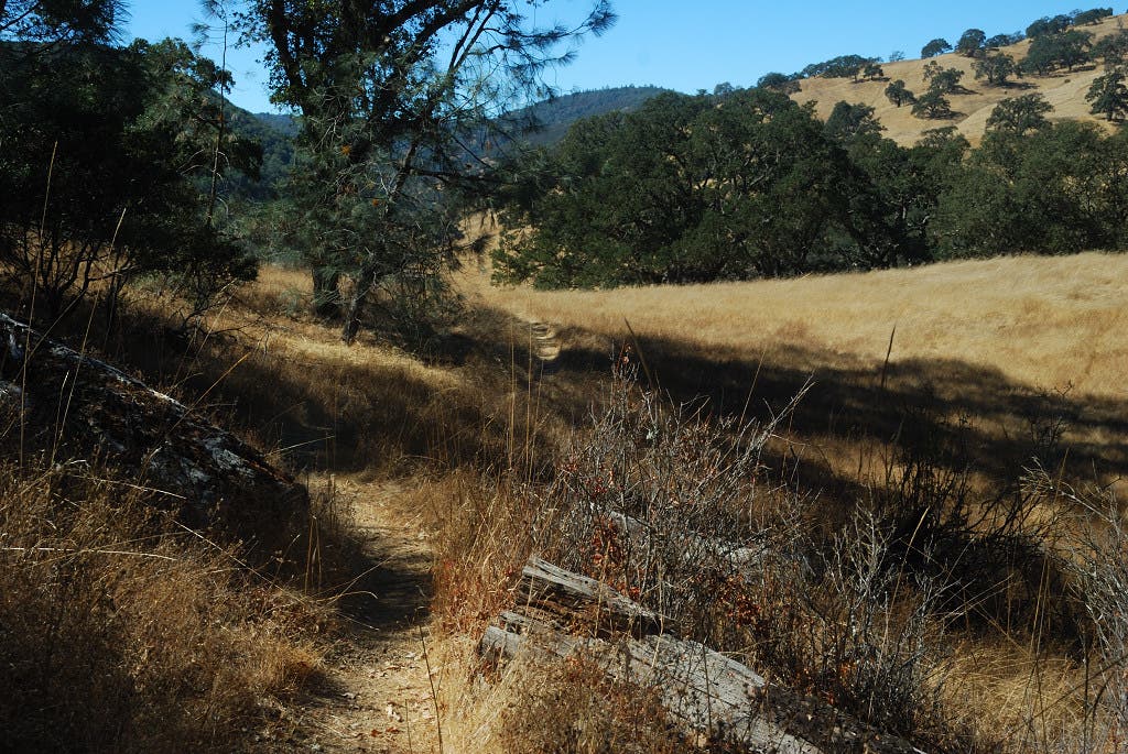
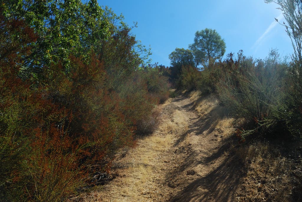
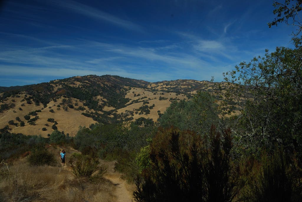
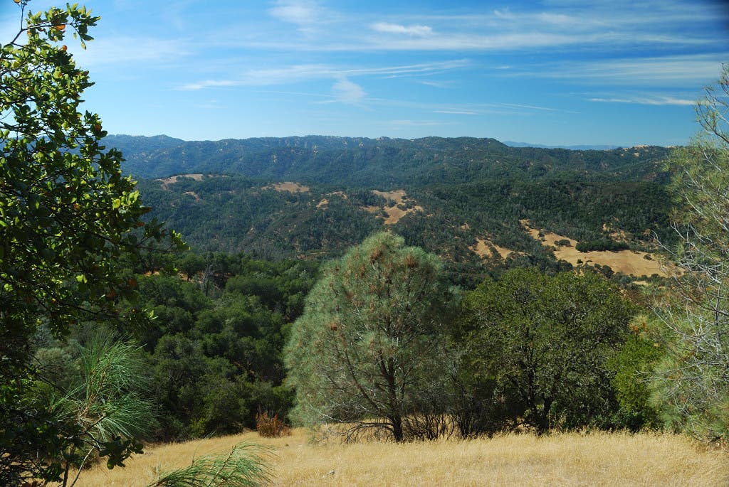
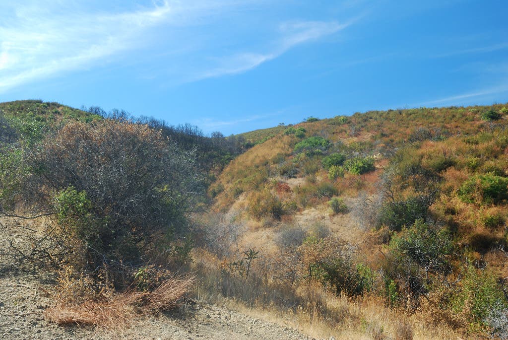
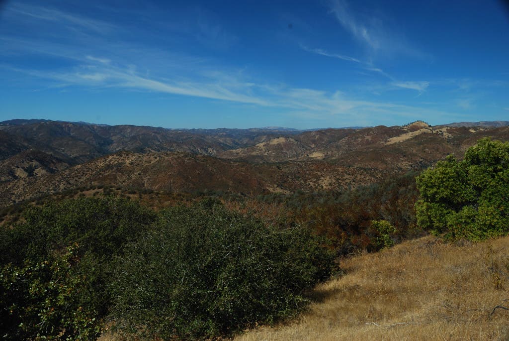
The hike’s first 3.5 miles descend from rolling ridgelines to low-lying valleys, with scenery punctuated by golden, overgrown meadows, scrubby vegetation and tough trees. After traversing through some of the lowest terrain of the hike between miles 3.5 and 5.5, you’ll hit a one-mile climb along the Willow Ridge Trail. The relatively straight-shot upward features nearly 1,400 feet of elevation before culminating at a Y-junction along Willow Ridge Road. From here, you’ll push through another four miles of brush-blasted, big-sky hill country before reaching Mississippi Lake. Camping is available anywhere around the lake, and a well-maintained bathroom (no running water) is situated near the lake’s southeastern corner. The trip back to the trailhead traces much of the same route, but deviates with trips on the Pacheco Creek Trail and the Forest Trail.
Finding water on extended backpacking trips through the park is tricky: Make sure to start with at least 3 liters. Overnight parking costs $8 and backcountry permits cost $5 per person. For more information on backpacking in the park, visit Henry W. Coe’s Web site.
-Mapped by Luke Lempark
Trail Facts
- Distance: 38.6
- Miles from city center: 34
Waypoints
HWC001
Location: 37.186079, -121.545256
The Headquarters Campgrounds offers developed campsites near the park’s entrance and Corral trailhead.
HWC002
Location: 37.186666, -121.546817
Begin by heading east on the Corral Trail. Make sure to have full water bottles before starting: water is available at the visitors center.
HWC003
Location: 37.185339, -121.539817
At the Y-junction, bear right to stay on the Corral Trail.
HWC004
Location: 37.184792, -121.538519
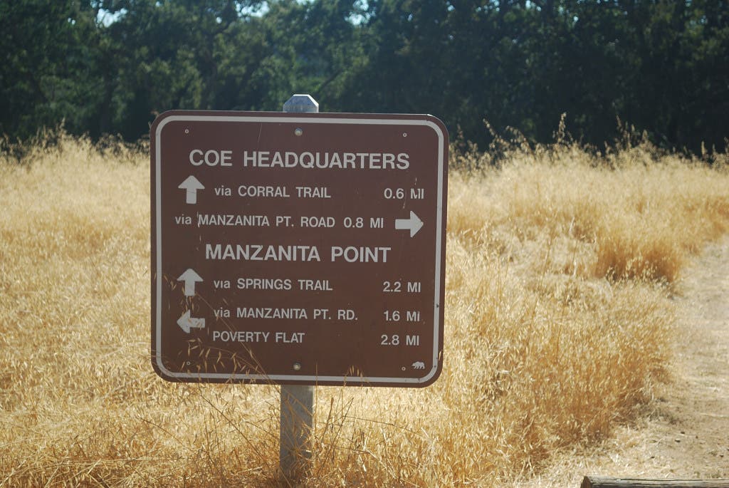
The Corral Trail follows Manzanita Point Road for nearly a mile.
HWC005
Location: 37.181249, -121.526835
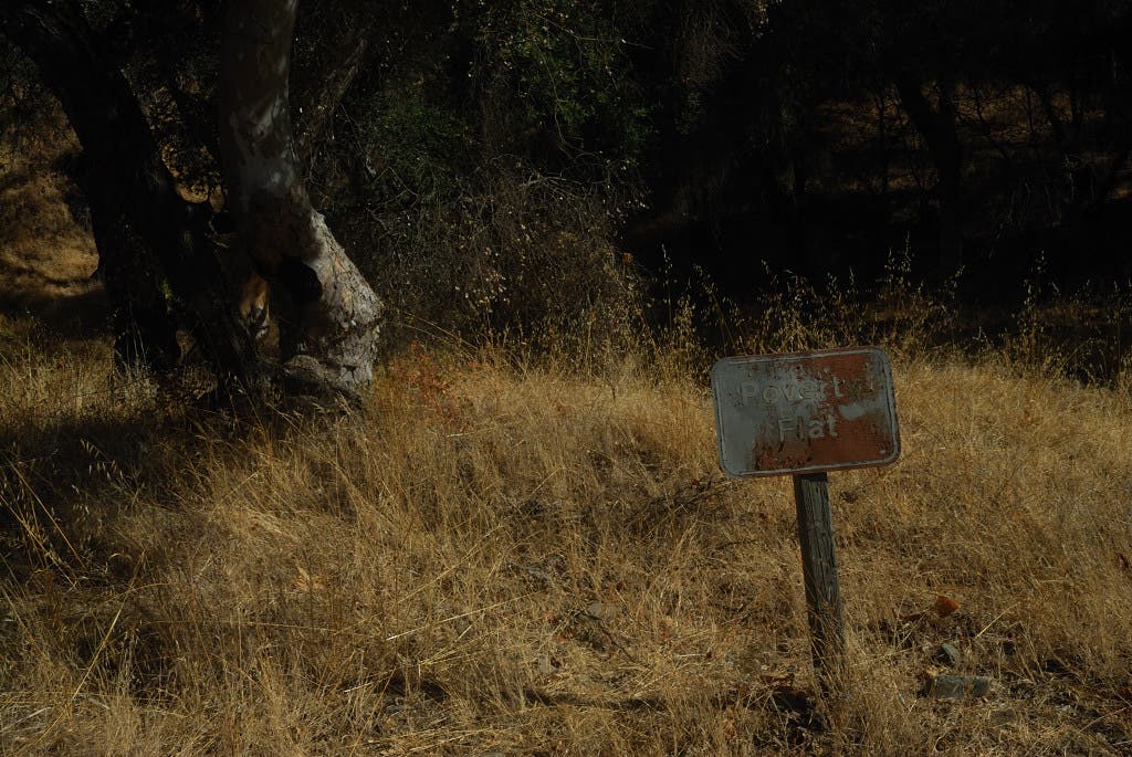
At Y-junction, bear left on Poverty Flat Road. Manzanita Point Road bends to the south.
HWC006
Location: 37.181256, -121.504548
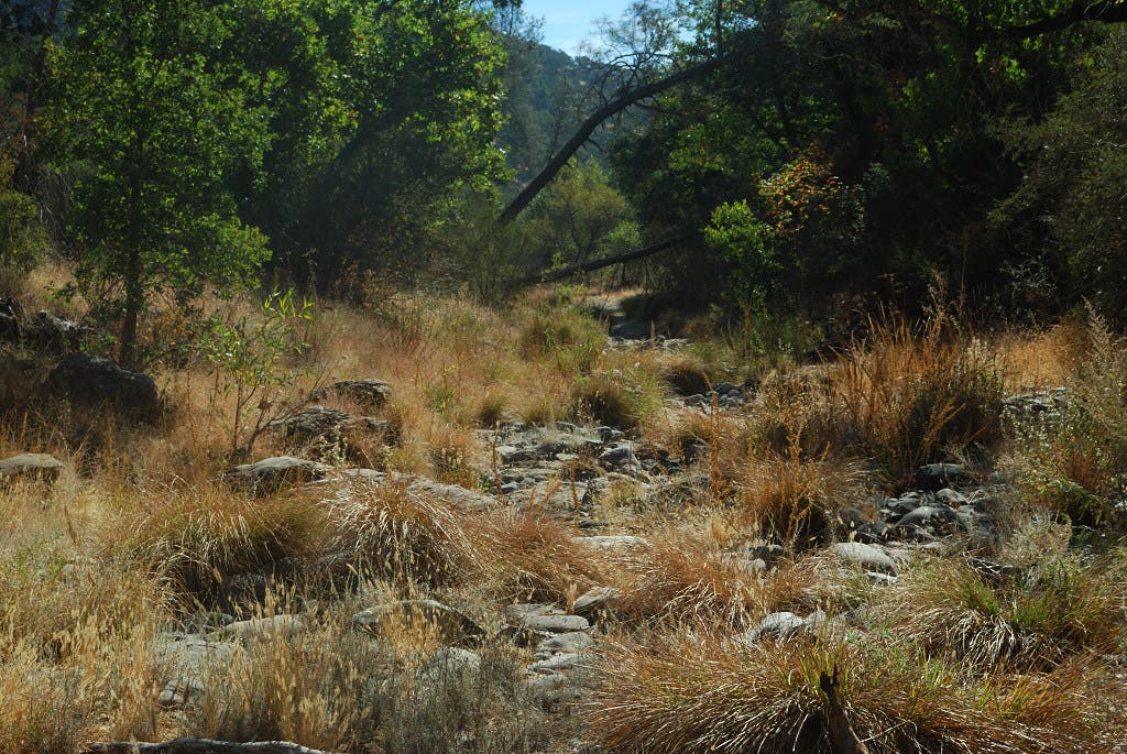
At the T-junction, bear right to stay on Poverty Flat Road. Middle Ridge Trail forks left to cross Coyote Creek, which is dry during late summer and fall.
HWC007
Location: 37.180065, -121.499981
Bear right to bypass the Cougar Trail and stay on Poverty Flat Road.
HWC008
Location: 37.179531, -121.498986
Bear right to stay on Poverty Flat Road and bypass the Creekside Trail.
HWC009
Location: 37.179288, -121.48554
Bear right to stay on Poverty Flat Road. Jackass Trail spurs to the left.
HWC010
Location: 37.178907, -121.482927
At Y-junction, bear right to pick up Mahoney Meadows Road. Poverty Flats Road bends to the left.
HWC011
Location: 37.174746, -121.47881
Turn left to pickup the Willow Ridge Trail. The Mahoney Meadows Trail, which forks to the right, leads to three campsites within 0.3 mile.
HWC012
Location: 37.174947, -121.477592
Bear right to stay on the Willow Ridge Trail. Over the next mile, you’ll climb nearly 1,400 feet.
HWC013
Location: 37.169285, -121.459745
Turn left to pick up Willow Ridge Road.
HWC014
Location: 37.173568, -121.455982
Bear right to stay on Willow Ridge Road.
HWC015
Location: 37.172243, -121.450735
Bear left at the Y-junction to stay on Willow Ridge Road. Your climb ends here.
HWC016
Location: 37.188664, -121.438504
Bear left to stay on Willow Ridge Road.
HWC017
Location: 37.192087, -121.428784
Bear left to stay on Willow Ridge Road.
HWC018
Location: 37.193314, -121.42581
Bear right to stay on Willow Ridge Road.
HWC019
Location: 37.198249, -121.424321
Bear left to stay on Willow Ridge Road. The right fork leads to Bear Mountain Peak.
HWC020
Location: 37.198275, -121.4207
Turn right to head south along the shore of Mississippi Lake. There is an outhouse 0.1 mile down the trail.
HWC021
Location: 37.197313, -121.41967
A well-maintained bathroom (sans running water) is situated along the lake’s southern shore.
HWC022
Location: 37.197303, -121.420145
Camping is permitted anywhere around the lake. On Day 2, begin your trek back to the trailhead by retracing your steps to HCW017.
HWC023
Location: 37.192019, -121.42873
Turn left at the Y-junction to pick up the Pacheco Ridge Trail. The right fork leads back to Willow Ridge Road. Both paths lead back to the trailhead, but Pacheco Ridge serves up fresh scenery.
HWC024
Location: 37.189425, -121.428489
Bear left to stay on Pacheco Ridge Trail.
HWC025
Location: 37.18239, -121.431649
Take the left fork to stay on Pacheco Ridge Road.
HWC026
Location: 37.176971, -121.429868
Turn right at the Y-junction to pick up the Canteen Trail.
HWC027
Location: 37.175064, -121.437603
Trail becomes narrow and faint after crossing Canteen Creek.
HWC028
Location: 37.174021, -121.440221
Bear left at the Pacheco Creek Trail.
HWC029
Location: 37.169418, -121.439779
Bear slightly right to follow the Rat Spring Trail.
HWC030
Location: 37.172107, -121.450682
Connect to Willow Ridge Road and retrace your steps to HWC005.
HWC031
Location: 37.181185, -121.526073
Turn right to duck into the woods on the Forest Trail. This shady detour brings you back to the Corral Trail at HWC003.
HWC032
Location: 37.185331, -121.539656
Turn right to follow the Corral Trail back to the trailhead.
Corral Trail
Location: 37.187015, -121.545589
The hike’s first 0.6 mile trace the Corral Trail.
Lightning Rod
Location: 37.184889, -121.538861
Pass this lightning-burnt tree while heading east on Manzanita Point Road.
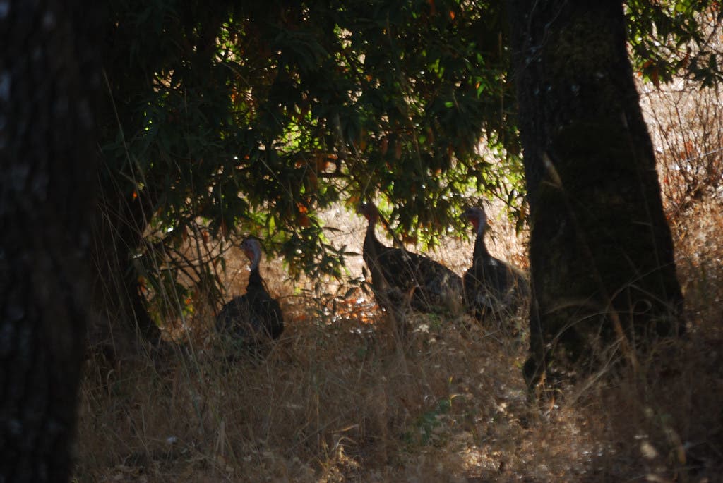
Wild Turkey
Location: 37.181861, -121.52425
Wildlife is abundant throughout the park.
Brush-Scrubbed Hillsides
Location: 37.180389, -121.511472
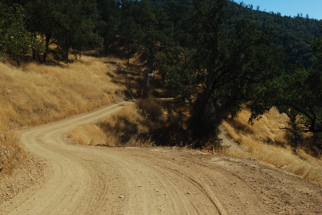
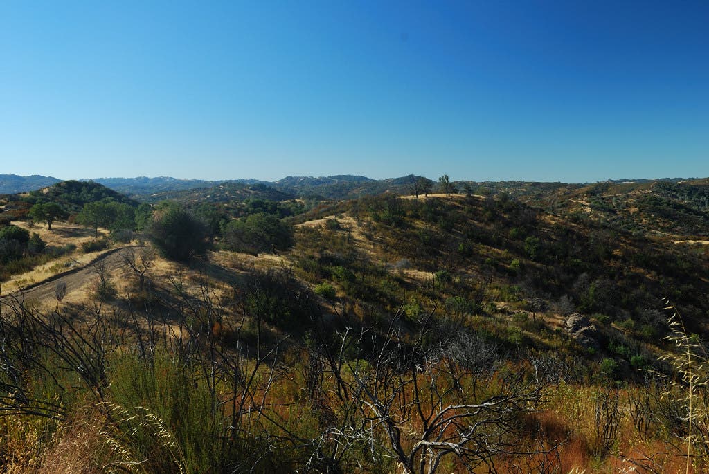
Walk through light woods and brush-topped ridges on Poverty Flat Road.
Coyote Creek
Location: 37.181111, -121.502694
The seasonal Coyote Creek flows only in the spring.
Tarantula
Location: 37.181222, -121.502083
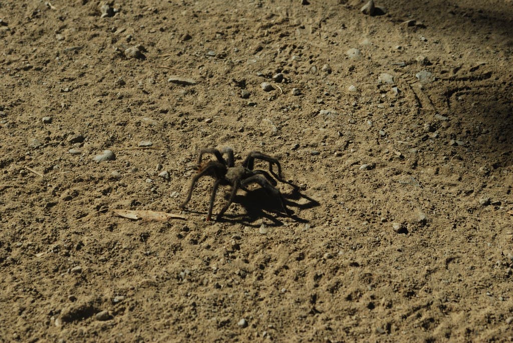
Make sure your sleeping bag is tarantula-free before buckling down for the night!
Poverty Flat
Location: 37.180167, -121.500083
Poverty Flat Road
Location: 37.17825, -121.4955
Fall Colors
Location: 37.178611, -121.490806
Golden meadows and green leaves characterize early fall in Northern California.
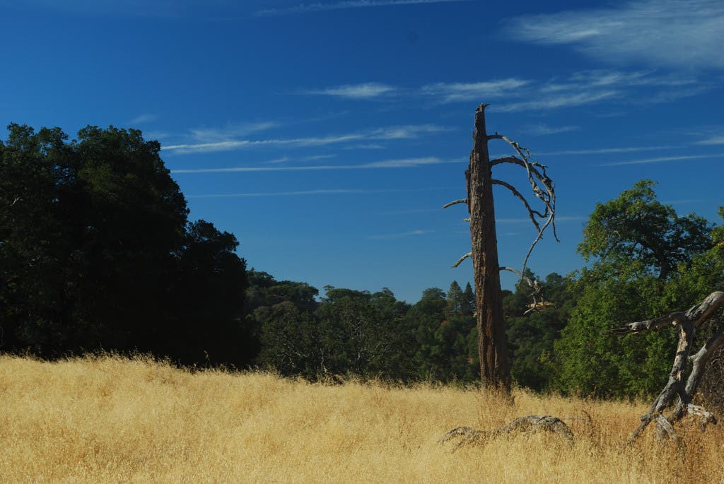
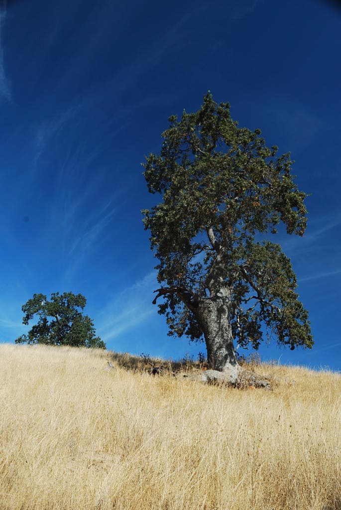
Lone Tree
Location: 37.178361, -121.482222
Pass through tree-dotted golden fields on Mahoney Meadows Road.
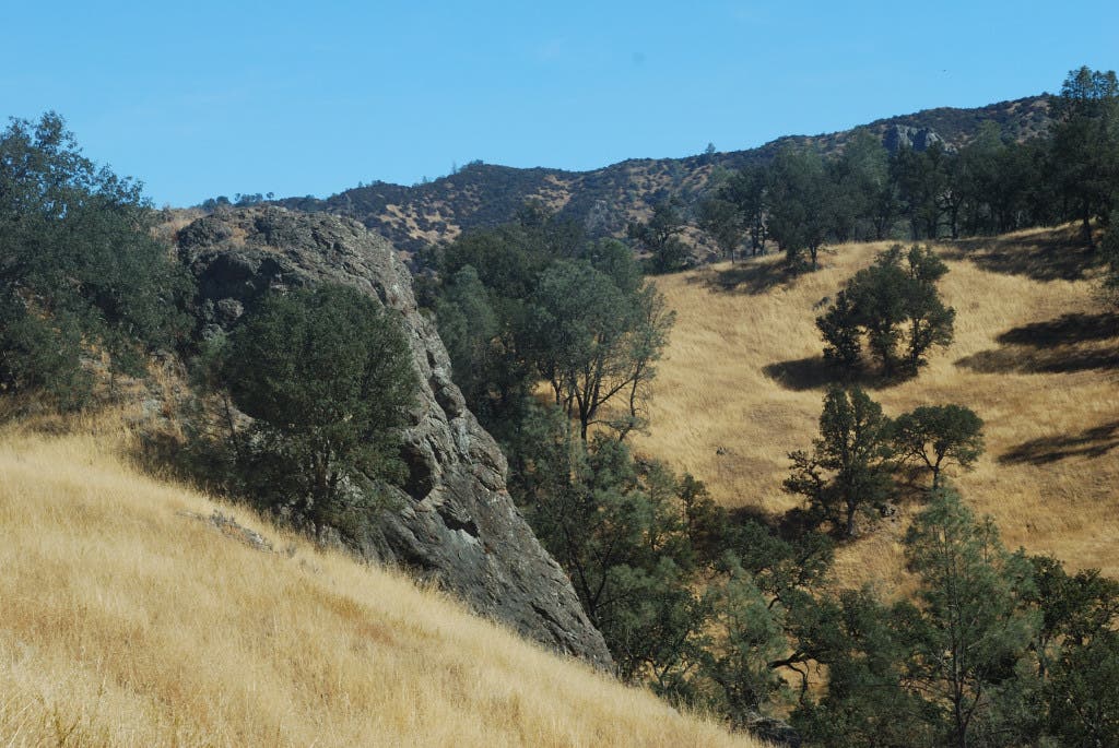
Rocky Outcropping
Location: 37.175833, -121.478389
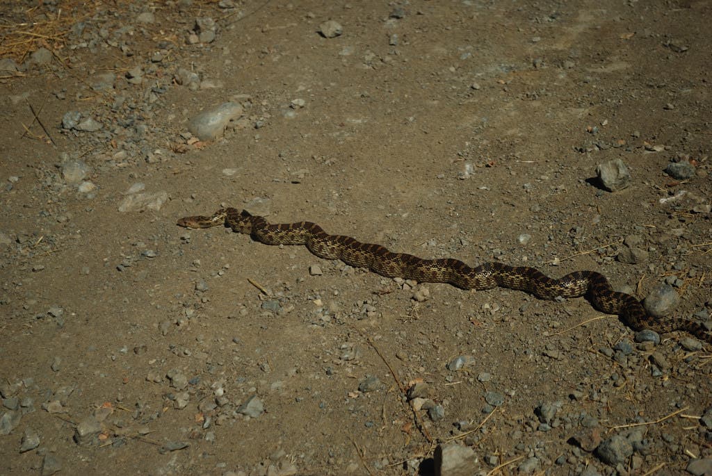
Pacific Gopher Snake
Location: 37.175333, -121.478139
Small Pacific Gopher Snakes are common in arid, scrub-brushed areas under 2,000 feet.
Rocky Terrain
Location: 37.174833, -121.478722
Willow Ridge Trail
Location: 37.176472, -121.475194
Upward Spiral
Location: 37.17375, -121.469361
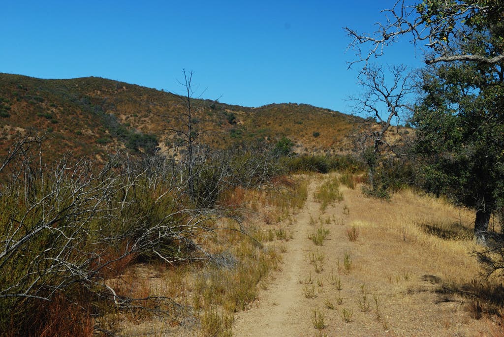
The Willow Ridge Trail carries the hike’s longest climb.
Looking West
Location: 37.173083, -121.468167
Looking west down the Willow Ridge Trail.
Trees
Location: 37.169389, -121.460167
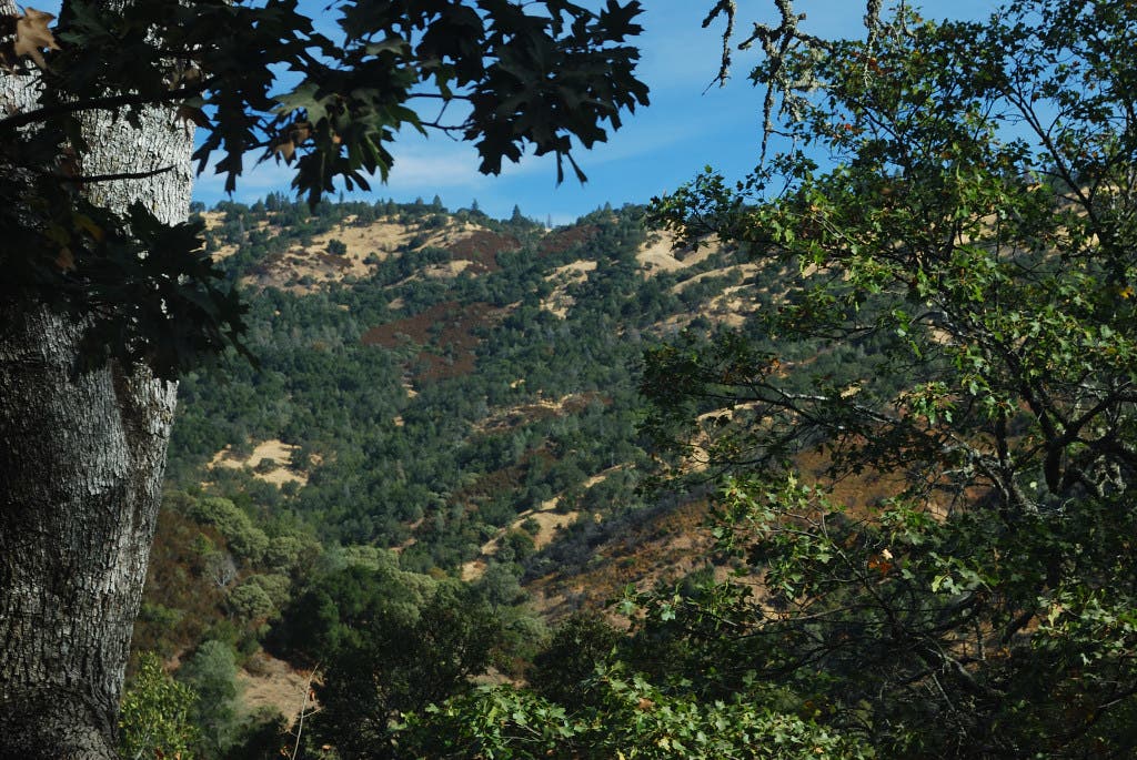
Meadows intersperse with light forestland in Henry W. Coe State Park.
More Fall Colors
Location: 37.173417, -121.451194
The park’s shrubs turn red, gold and orange during early fall.
Wrecking Ball
Location: 37.176861, -121.449583
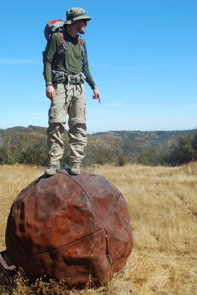
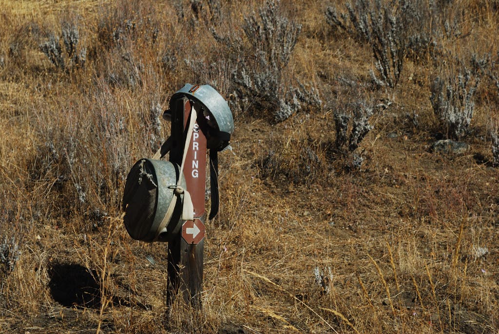
Of the world’s unexplained archaeological mysteries, the Henry W. Coe State Park wrecking ball ranks just between Stonehenge and the heads at Eastern Island.
Willow Ridge Trail Panoramas
Location: 37.185389, -121.442556
Mississippi Lake
Location: 37.198292, -121.424122
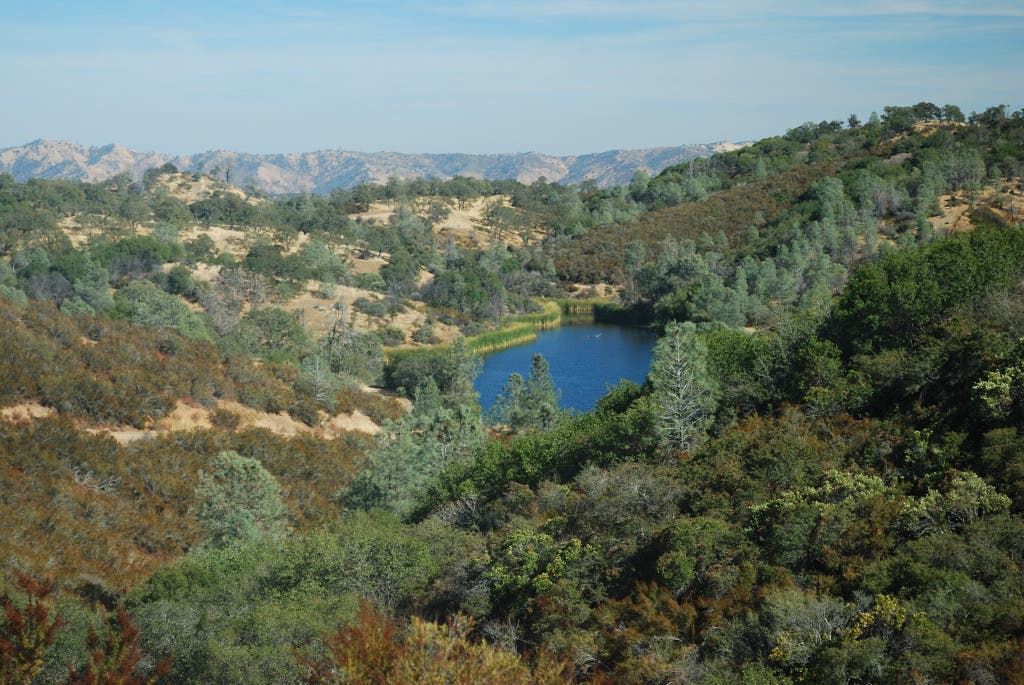
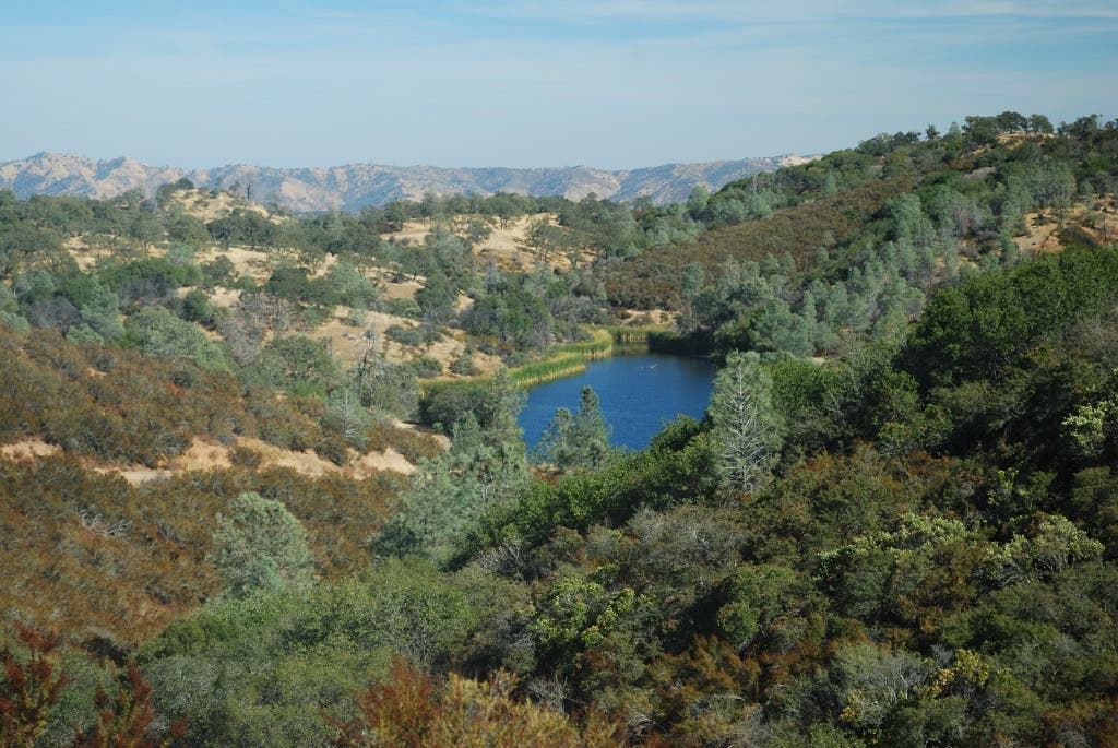
Mississippi Lake comes into view just past the junction with Bear Mountain Trail.
Mississippi Lake
Location: 37.197452, -121.419329
View from southern shore of Mississippi Lake.
Camp
Location: 37.197294, -121.419925
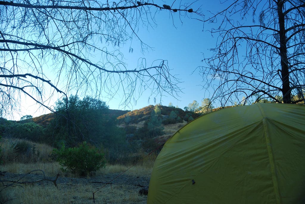
Flat spots to pitch a tent are located around the lake’s southern shore.
Pacheco Ridge Trail
Location: 37.191111, -121.428389
Canteen Spring
Location: 37.174, -121.440167
Water is available here, but it is recommended that you treat it before drinking.
Rat Spring Trail
Location: 37.169861, -121.442611
Nearing The End
Location: 37.185587, -121.538905
Heading back to the trailhead from the Forest Trail.