San Diego: Woodson Mountain via Lake Poway

Mapped by Rajeev Jain

Trail Facts
- Distance: 5.1
Waypoints
WMP001
Location: 33.0046310424805, -117.012603759766
Head E around S shore of Lake Poway (1,020 ft.) on trail closest to shore
WMP002
Location: 33.0038681030273, -117.00700378418
Sandy beach to L; cross bridge over small stream and head N, looking for small trail on R to connect to jeep road heading SE
WMP003
Location: 33.0046310424805, -117.005699157715
Turn L @ Y onto Mt. Woodson Trail for steep ascent along dry gully
WMP004
Location: 33.0053405761719, -117.001098632812
L @ T; continue steep ascent along gully stocked with rounded, room-sized boulders (good for roped climbing)
WMP005
Location: 33.0044097900391, -116.994400024414
Straight @ 3-way; Coast live oak and chaparral zone transitions to chamise and sage
WMP006
Location: 33.0041198730469, -116.993698120117
Straight @ 3-way
WMP007
Location: 33.0038681030273, -116.991600036621
Stay L; trail levels @ saddle peering over rocky seam of Warren Canyon before 800-ft. climb on steep, tight switchbacks
WMP008
Location: 33.0082092285156, -116.987701416016
R @ Y; follow ridge, winding through more boulder piles. Locals say these bone-white rock formations were named “Mountain of Moonlit Rocks” by Indians
WMP009
Location: 33.0083923339844, -116.981468200684
False summit; continue E for last 400 feet
WMP010
Location: 33.0091590881348, -116.973899841309
Woodson Mtn. (2894 ft.): Panoramas stretch from Laguna Mtns. over downtown into the Pacific and to San Clemente Island. Backtrack to car
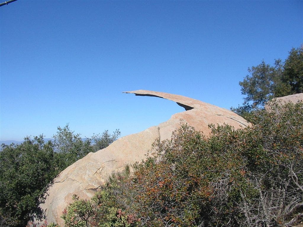
Diving Board Rock
Location: 33.0090713500977, -116.978240966797
Years of peeling layers has left this rock suspended in a springboard formation. ©Rajeev Jain